
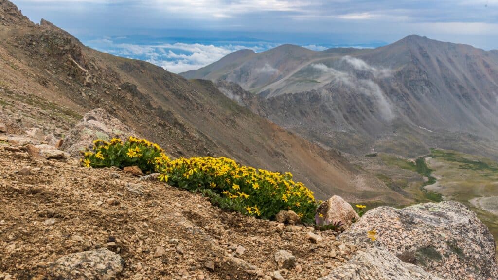
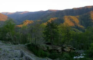
Colorado is home to some of the most breathtaking natural scenery you’ll ever see. From majestic mountains to rushing rivers, there’s something for everyone to enjoy in this beautiful state.
It’s the state with the highest average elevation in the country, and it is home to 58 fourteeners (peaks that rise more than 14,000 feet above sea level) and more than 600 thirteeners.
With heights like these, Colorado is a prime destination for hikers, photographers, and nature lovers of all kinds.
How the Mountains of Colorado Were Formed
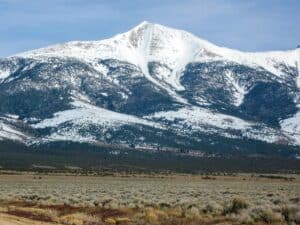
Tectonic activity near the Pacific coastline about 80 million years ago gave rise to an event known as the Laramide orogeny.
©Nicholas Courtney/Shutterstock.com
Around 80 million years ago, as the North American continent slowly drifted away from the fragmented Pangea landmass, tectonic activity near the Pacific coastline gave rise to an event known as the Laramide orogeny. This was a time period of intense mountain-building that resulted from the collision of several large tectonic plates — the North American plate and two Pacific plates, the Kula and the Farallon.
With these plates colliding against one another, the earth’s crust was forced upward, creating a large portion of what would later become the Rocky Mountains. This process continued for an estimated 30 million years (the exact start and end point of the Laramide orogeny is not known for certain).
Volcanic Activity in Colorado
When tectonic plates shear against one another, one plate is typically pushed upward while the other is forced underneath. These processes are known as uplift and subduction.
As the Pacific plates were subducted beneath the North American plate deeper into the earth, they began to heat up and melt. This molten liquid rock, called magma, rose up through cracks and weaknesses in the earth’s crust, causing volcanic eruptions, which further contributed to the formation of these mountains.
You can see the evidence of this volcanic activity in the 15 calderas (large, crater-like depressions that form when a volcano collapses inward on itself) of the San Juan Mountains in southwestern Colorado.
The largest of these calderas, the La Garita Caldera, is the site of what may have been the largest volcanic eruption in the entire history of Earth.
This volcanic activity also deposited large amounts of minerals and other valuable natural resources throughout the region. The mineral-rich mountains (including gold, silver, copper, lead, and uranium) of Colorado have long been a source of great wealth and prosperity for the state and its people.
The Rio Grande Rift
The other major geological event that contributed to the rising of the Colorado Rocky Mountains is the Rio Grande Rift.
After the Pacific Farallon plate was completely subducted beneath the North American plate, the North American plate began to spread and stretch westward. This stretching caused the earth’s crust to thin and tear, forming a large rift that runs from central Colorado all the way down to Chihuahua, Mexico.
The Rio Grande Rift is still an active geological feature, and it continues to widen at a tremendously slow pace of about 2.5 millimeters per year. And as it widens, the land around it is gradually pushed upward, further adding to the height of the nearby mountains — by less than a millimeter per year, approximately.
While this seems insignificant and unnoticeable on a human timescale, over the course of millions of years, it can have a profound effect on the landscape. In some areas, it is estimated that the Rio Grande Rift has caused the mountains to be uplifted by as much as 9,000 feet!
This, combined with extensive water erosion, is what has ultimately created the Colorado highlands that we see today.
The Top 5 Highest Points in Colorado
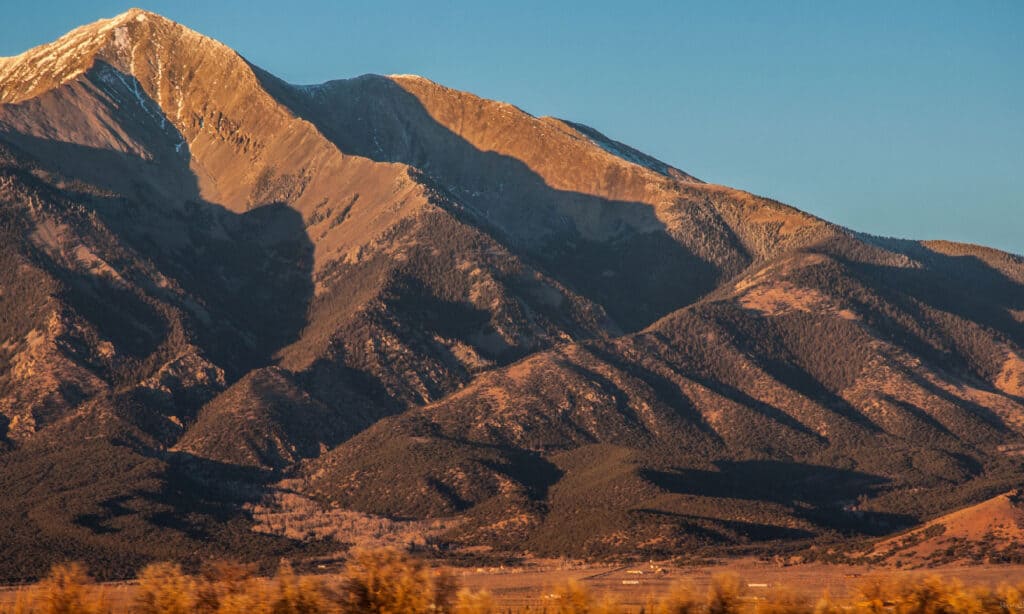
5. La Plata Peak — 14,343 feet
La Plata Peak is famous for its large silver deposits.
©iStock.com/chapin31
The fifth highest summit in Colorado is La Plata Peak, located in the Sawatch Range of central Colorado.
“La plata” means “the silver” in Spanish, which refers to the large deposits of silver that were found in the area in the late 19th century. Nearby, you can find two ghost towns, Winfield and Hamilton, which were both founded during the silver boom and later abandoned.
There are a few different routes that you can take to reach the summit of La Plata Peak. The standard route that most people take on the Northwest ridge is designated a Class 2 hike, which means that it does not require any technical rock climbing but is moderately difficult due to its steepness.
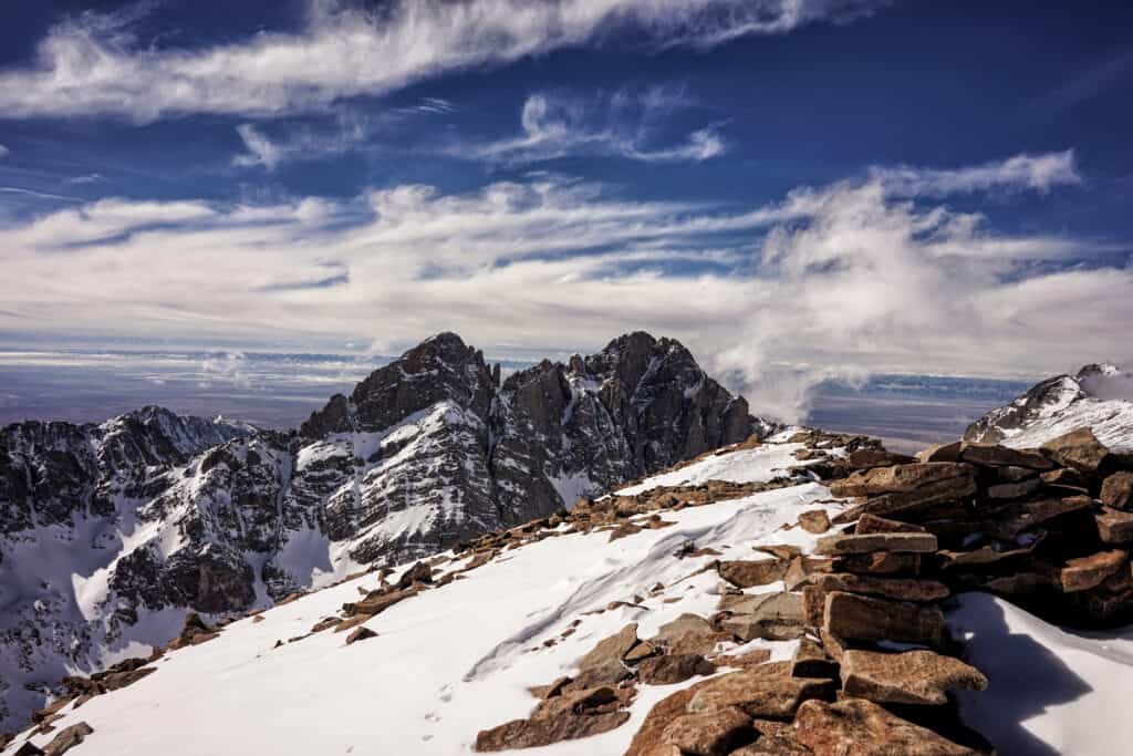
4. Blanca Peak — 14,351 feet
Blanca Peak is the highest peak in the southernmost range of the Rocky Mountains.
©iStock.com/RoschetzkyIstockPhoto
Blanca Peak is the fourth tallest mountain in Colorado and the highest peak of the Sangre de Cristo Mountains (the southernmost subrange of the Rocky Mountains).
The first recorded ascent of Blanca Peak was made in 1874 by the Wheeler survey team for the U.S. Geological Survey. But when they reached the summit, they found that someone had beaten them to it —there was already an artificial stone structure up there. It is suspected that this was put there either by the indigenous Ute people, who have long considered the mountain to be sacred, or possibly by Spanish explorers who passed through the area.
Of the five peaks on this list, Blanca Peak is considered the most difficult to ascend. All the routes to the summit are either “Difficult Class 2” or higher due to the long hike (15+ miles), difficult terrain, and high risk of falling rocks.
3. Mount Harvard — 14,421 feet
You can climb both Mount Harvard and Mount Columbia on the same hike.
©Jessie Meredith/Shutterstock.com
The third highest mountain in Colorado is Mount Harvard, located in the Collegiate Peaks. It got its name in 1869 when members of the Harvard Mining School were exploring the area. Soon after, many other nearby peaks were named after Ivy League colleges, including Oxford, Yale, Princeton, and Columbia. These form what is known as the Collegiate Peaks, of which Mount Harvard is the highest.
In the 1960s, a group of Harvard alumni carried a 14-foot pole up to the summit of Mount Harvard. They placed it there with a sign on top declaring it as the second highest point in the contiguous United States (even though it probably wasn’t).
If you are interested in climbing Mount Harvard, you may enjoy taking the trail that also passes over the nearby Mount Columbia, though this may require some extra commitment.
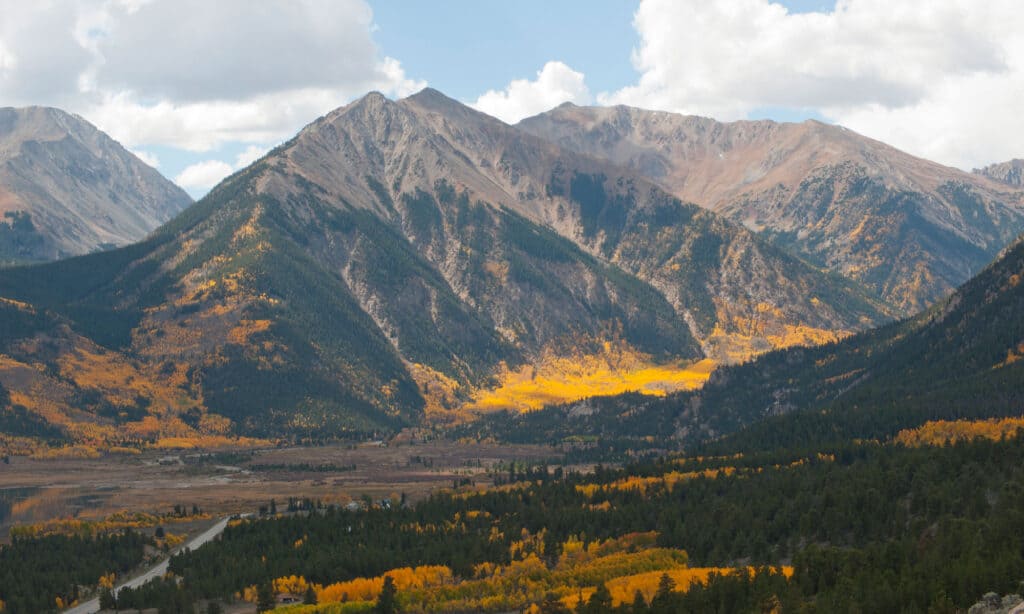
2. Mount Massive — 14,428 feet
Mount Massive hosts five distinct peaks stretched across its three-mile-long summit ridge.
©Ambient Ideas/Shutterstock.com
Mount Massive is the second-highest peak in Colorado, the third-highest in the lower 48 states, and the largest fourteener in the contiguous United States by total area (which is why it’s called Mount Massive). Its elongated shape hosts 5 distinct summits, all of which are above 14,000 feet, with a summit ridge over 3 miles long.
Since Mount Massive is just a few feet short of being the tallest mountain in Colorado, some climbers would bring rocks with them to the summit to stack up and try to make it taller. But these stone cairns were eventually knocked down by proponents of Mount Elbert.
The standard route to ascend Mount Massive is classified as a Class 2 hike, and it will take you through the beautiful Mount Massive Wilderness Area in the San Isabel National Forest.
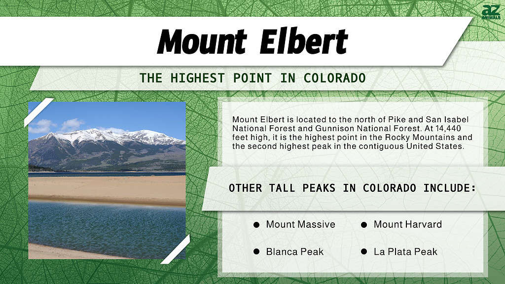
1. Mount Elbert — 14,440 feet
The peak of Mount Elbert is the highest point in Colorado, and it’s relatively easy to hike.
©iStock.com/SeanXu
The highest point in Colorado is Mount Elbert, 14,440 feet high. It’s also the highest point in the Rocky Mountains and the second highest peak in the contiguous United States (after Mount Whitney in California).
There are three main trails that lead to the summit of Mount Elbert, two of which are designated as class 1 trails — the easiest rating given to trails. The third trail is a class 2 — slightly more strenuous, steep, and difficult, but still ascendable without special mountaineering or rock climbing skills.
These make Mount Elbert one of the most popular fourteeners to climb in Colorado, suitable even for beginner hikers and climbers. If you’re wanting to see the world from the second-highest peak in the contiguous United States, Mount Elbert is a fantastic option for an unforgettable experience.
Where Is Mount Elbert Located on a Map?
Mount Elbert is located to the north of Pike and San Isabel National Forest and Gunnison National Forest. It is located to the southwest of Boulder, Denver, and Lakewood, and to the west of Colorado Springs.
The photo featured at the top of this post is © Paul Brady Photography/Shutterstock.com
How to Add Us to Google News


Thank you for reading! Have some feedback for us? Contact the AZ Animals editorial team.