
First colonized by humans over 10,000 years ago, Missouri is now home to more than six million people. Much of the state’s population is focused in the metropolitan areas of Columbia, Kansas City, Springfield, and St. Louis. Situated solidly in the Midwest, Missouri became a state in 1821.
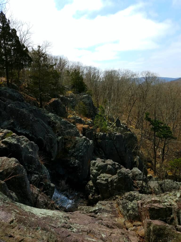
Ketcherside Mountain is the home of the largest wet weather waterfall in Missouri, Mina Sauk Falls.
©Steven Schremp/Shutterstock.com
Known colloquially as the “Show Me State”, Missouri is famous for its caves, rivers (including the eponymous Missouri River), Northern Plains, and southern Ozark Mountains. It might not be quite as mountainous as states like Montana and Utah, but Missouri does have some pretty significant ridges. So, among all those ridges, just where is the highest point in Missouri?
Dive in to find out more about Missouri’s topography, starting with the highest point in the state. We’ll discover the highs and the lows, as well as what it takes to get to the highest place in Missouri. Then, we’ll take a look at what there is to do in the area. Finally, we’ll learn about the five highest points throughout the entire state.
Read on to learn more about the highest point in Missouri, and more!
The Missouri State Highest Point
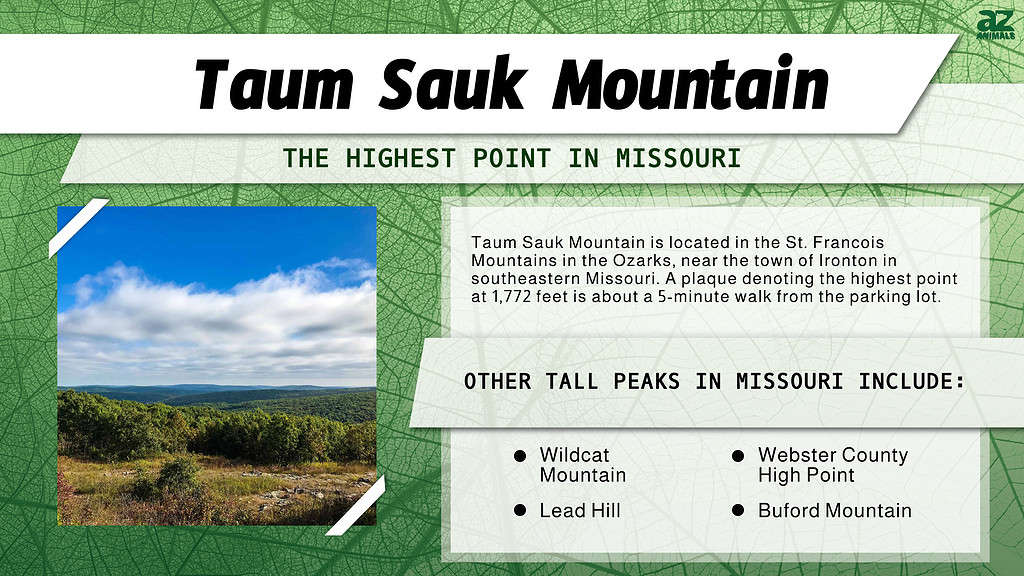
The highest point in Missouri is Taum Sauk Mountain.
©E.N. May/Shutterstock.com
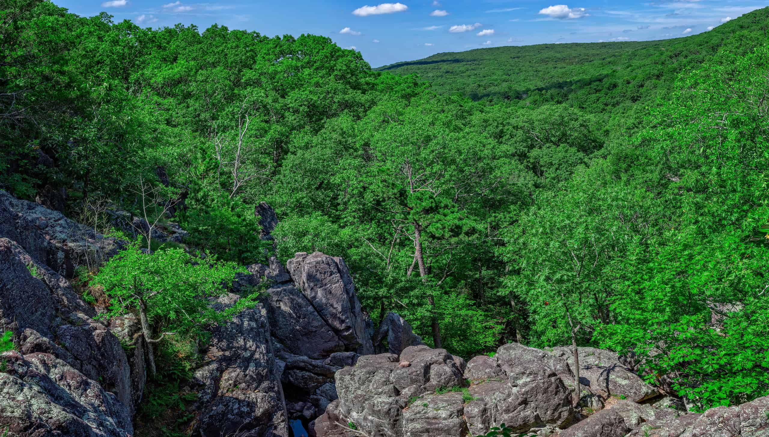
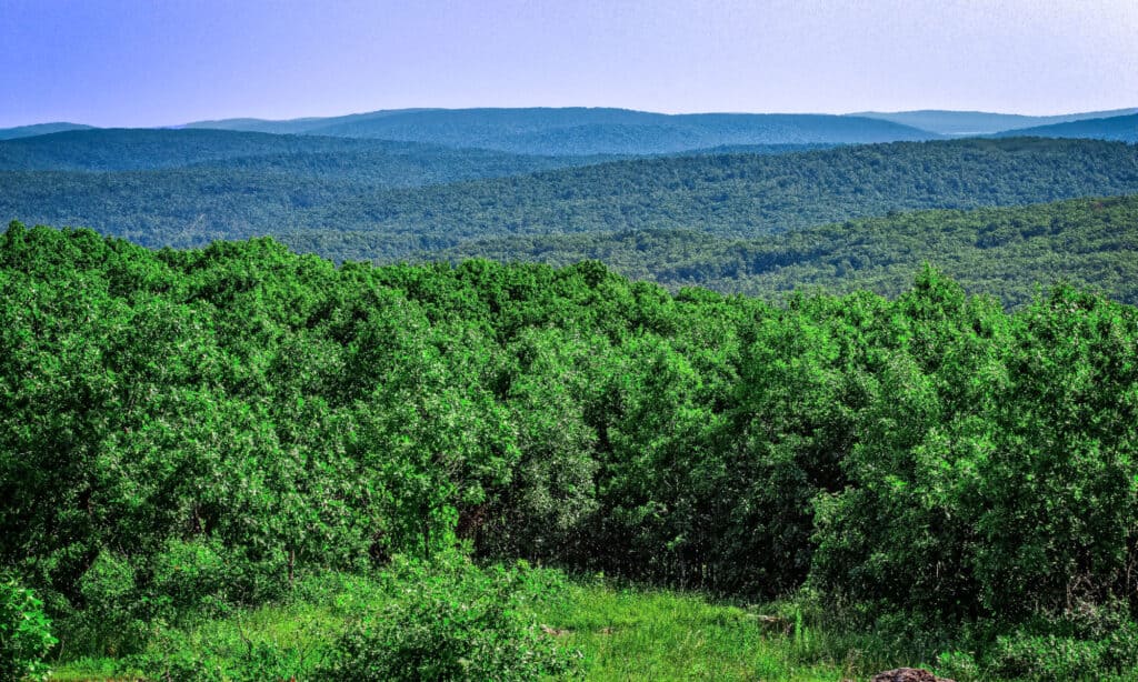
At 1,772 feet tall at its highest point, Taum Sauk Mountain is the highest point in Missouri. Though not so much a distinct peak as it is a prominent ridge, this is still the highest place in the state. Dominating the St. Francois Mountains, in the central southeastern portion of the state, Taum Sauk is covered in forest. Visitors should look for the plaque, placed there in 1991, marking the exact state high spot. There’s also a tall lookout tower open to visitors willing to climb the five or so flights of stairs to the top.
Fortunately, both the high point and the accompanying Taum Sauk Mountain Overlook are ADA-accessible. The area is also pet-friendly (dogs must be leashed). Situated among nearly 8,000 acres of forest and hidden rock formations, Taum Sauk Mountain State Park is definitely worth a visit.
How Does Taum Sauk Compare?
Missouri’s southern half is mostly characterized by the Ozarks, also known as the Ozark Mountains or Ozark Plateau.
© – License
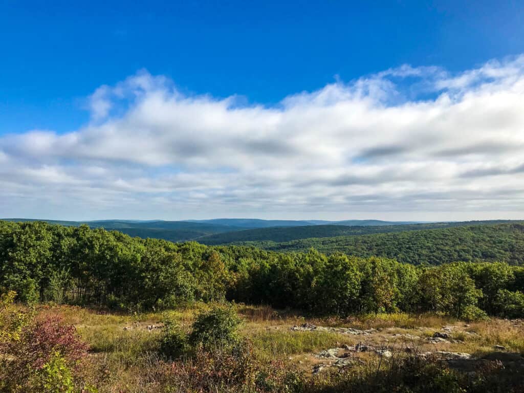
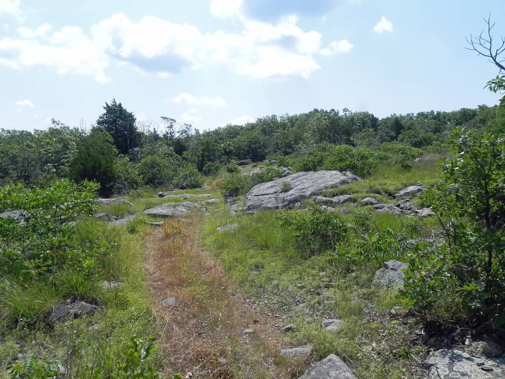
Missouri is a low-elevation, midwestern state. The state’s southern half is largely characterized by the Ozark Plateau, of which Taum Sauk Mountain is a part. The lowest point in the state lies to the southeast of Taum Sauk, along the Mississippi River.
Overall, all of Missouri’s lowest elevation spots (which range from sea level to around 300 feet above sea level) are located along the state’s many rivers. Many of the highest ridges in Missouri lie along the Ozark Plateau. Considering that the highest point in Missouri rises over 1,700 feet above the lowest point, it’s easy to see why Taum Sauk is so memorable.
Can You Drive to Taum Sauk Mountain?
It is possible to drive to the highest point in Missouri.
©Steven Schremp/Shutterstock.com
Yes, you can drive to the highest point in Missouri. And, even better, the site is ADA-accessible. The plaque denoting the high spot is about a five-minute walk from the parking lot. Alternatively, you can visit the overlook tower (which is not ADA accessible) for even grander views.
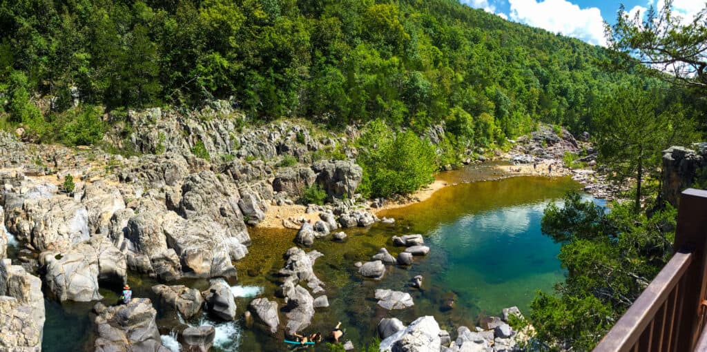
More adventurous visitors can even take a three-mile hike to nearby Mina Sauk Falls — a picturesque waterfall located not far from the high point.
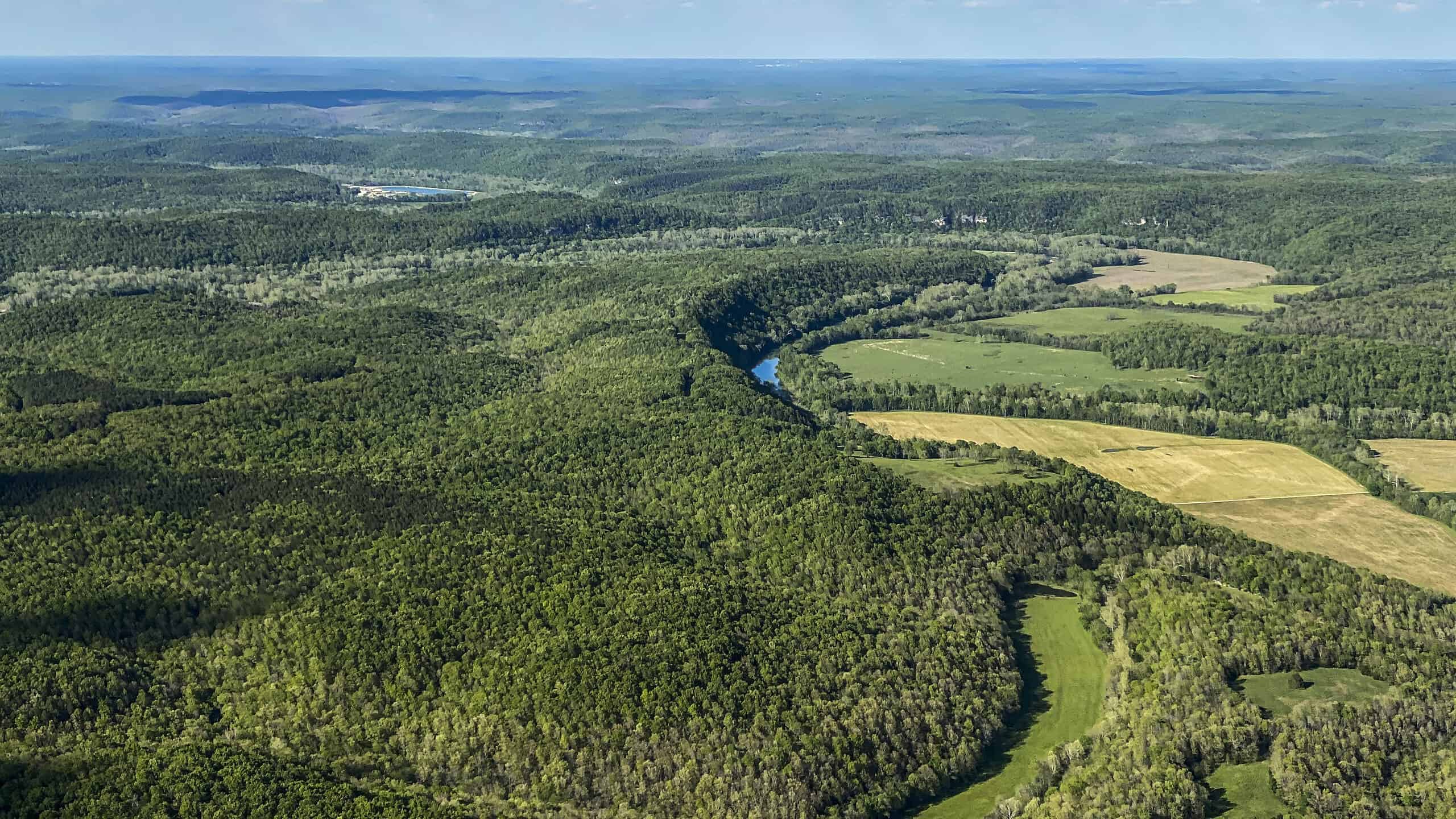
Arcadia and Ironton are the closest towns to Taum Sauk Mountain. From Arcadia, it’s about a 15-minute drive up to the top of the ridge. Along the way, you’ll enjoy beautiful forests and a wide variety of flora and fauna. Some of the animals that can be found in and around the area include deer, rabbits, bear, turtles, snakes and birds.
Things to Do Near Taum Sauk Mountain
You can hike and camp in Johnson’s Shut-Ins state park.
©Lilith Munck/Shutterstock.com
Taum Sauk Mountain State Park is perfect for hiking and camping. You can actually camp at a designated camping spot right on top of the ridge, at the Taum Sauk Mountain Campground. The nearby Johnson’s Shut-Ins State Park and Elephant Rocks State Park also offer hiking and camping opportunities. There’s also the Battle of Pilot Knob State Historic Site, just north of Ironton, to check out.
If hiking and camping aren’t really your thing, then you may need to range a little farther to find cosmopolitan things to do. Try checking out the nearby towns of Farmington and Park Hills, which offer a wide variety of attractions and amenities.
Where Is Taum Sauk Mountain Located on a Map?
Taum Sauk Mountain is located in the St. Francois Mountains in the Ozarks, near the town of Ironton, in southeastern Missouri, which is located in the mid-west region of the United States. It is bordered by Nebraska to the northwest, Iowa to the north, Illinois to the east, Kentucky to the southeast, Tennesee and Arkansas to the south, Oklahoma to the southwest, and Kansas to the west.
Missouri’s Five Highest Spots
Buford Mountain is the fourth-highest point in Missouri.
©Fredlyfish4 / CC BY-SA 3.0 – License
So, now that we know that Taum Sauk Mountain is the highest point in Missouri at 1,772 feet, let’s learn about the other high spots. All five of Missouri’s top five highest points are over 1,700 feet tall. Interestingly, the highest places in Missouri are still lower than the average elevation in Montana (1,800 feet).
The second highest point in Missouri is Wildcat Mountain, at 1,760 feet tall. The third tallest spot is Lead Hill, which rises to 1,753 feet in elevation. Coming in fourth is Buford Mountain, at 1,740 feet elevation. Finally, the fifth highest peak in Missouri is the Webster County High Point, at 1,738 feet tall.
If you’re camping in Taum Sauk State Park, you could hike Taum Sauk Mountain one day and Wildcat Mountain the next.
©KevinDC/Shutterstock.com
The photo featured at the top of this post is © E.N. May/Shutterstock.com


Sources
- , Available here: https://mostateparks.com/park/taum-sauk-mountain-state-park#:~:text=Climb%20to%20the%20top%20of,beautiful%2C%20solitary%20experience%20for%20hikers
- , Available here: https://www.visitmo.com/things-to-do/taum-sauk-mountain-state-park
How to Add Us to Google News


Thank you for reading! Have some feedback for us? Contact the AZ Animals editorial team.