
Sitting just above Texas, Oklahoma is one of the flattest states in the United States. Its capital is Oklahoma City, which is also the largest city in the state, closely followed by Tulsa. In fact, two-thirds of the state’s population resides within the Oklahoma City and Tulsa metropolitan districts. Oklahoma is full of vast prairies, forests (in the eastern part of the state), and yes, even mountains. But, just how high is the highest point in Oklahoma?
Here, we’ll discover the answer to that question, as well as a few more. We’ll explore the topography of Oklahoma, and find out where the state’s highest point is, as well as the lowest. Then, we’ll take a deep dive into hiking and exploring Oklahoma’s highest point.
Read on to learn more!
Oklahoma’s Highest Point

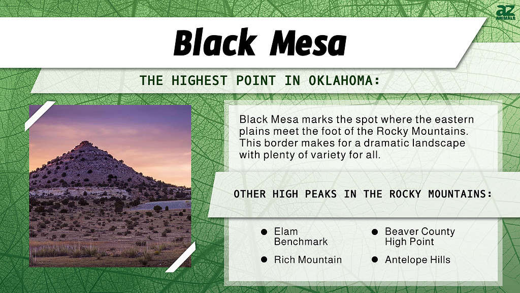
Black Mesa is the highest point in Oklahoma.
©John A Davis/Shutterstock.com
The highest point in Oklahoma is none other than Black Mesa, with an elevation of 4,973 feet (1,517 meters) above sea level. Black Mesa lies in the Oklahoma panhandle, which makes up the extreme western part of the state. Topographically, the Oklahoma panhandle gradually increases in elevation as one moves west, with the westernmost tip of the panhandle being the highest point in the entire state.
Black Mesa lies in Cimarron County, very close to the New Mexico border. The closest city is Boise City, located to the southeast of Black Mesa. The formation underlying Black Mesa is known as the Cimarron Meridian.
Where Is Black Mesa Located on a Map?
Black Mesa is a prominent landmark located in the northwestern part of Oklahoma, near the border with Colorado and New Mexico. To get there, one can take US-64 or US-412 to reach Kenton, which is the nearest town to Black Mesa. From Kenton, visitors can follow State Highway 325 for approximately 15 miles southward until they reach the entrance of Black Mesa Nature Preserve.
On a map, Black Mesa can be found at coordinates 36°56’20.7″N 102°59’55.6″W or by searching for “Black Mesa Nature Preserve” on online mapping services such as Google Maps or MapQuest.
It’s important to note that due to its remote location and rugged terrain, reaching Black Mesa requires careful planning and preparation beforehand. Visitors are advised to bring plenty of water and food as well as appropriate gear for hiking in challenging conditions.
How Does Black Mesa Compare to the Rest of Oklahoma?
Oklahoma has an average elevation of just 1,300 feet above sea level. The highest point in Oklahoma, Black Mesa, is also the westernmost part of the state. Overall, Oklahoma is at its lowest elevation in the southeastern corner of the state, and its highest in the northwest corner of the panhandle. Oklahoma’s lowest point, at just 287 feet above sea level, lies in the southeastern corner of the state, where the Little River drains into Arkansas.
Oklahoma’s entire eastern half lies below 1,500 feet in elevation, with much of it under even 1,000 feet above sea level. If you were to drive from the southeastern corner of the state to the northwestern corner, you would go all the way from just above sea level, to over 4,000 feet elevation in Boise City. Compared to the great majority of the state, Black Mesa is a truly towering mountain.
Getting to Black Mesa
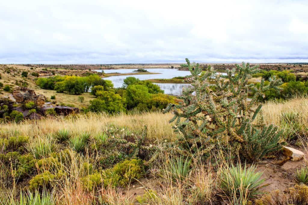
The Black Mesa State Park is where the highest point in Oklahoma is located.
©Charles Lemar Brown/Shutterstock.com
The highest point in Oklahoma is located in Black Mesa State Park. Characterized by fields of black lava rock, short, prairie grasses, and rocky escarpments, Black Mesa is a popular destination for many. Your best option for getting to Oklahoma’s highest point is to drive to the Highest Point in Oklahoma Trailhead, located in Black Mesa State Park.
From there, the hike is an 8.4 mile roundtrip, with approximately 600 feet in elevation gain on the way to the summit. Most of this elevation gain occurs about two miles into the hike, where you’ll encounter steep switchbacks taking you to the top of the mesa. A large stone monument marks the exact spot; from there, you’ll enjoy impeccable, gorgeous views of the surrounding countryside.
What Can You Do There?
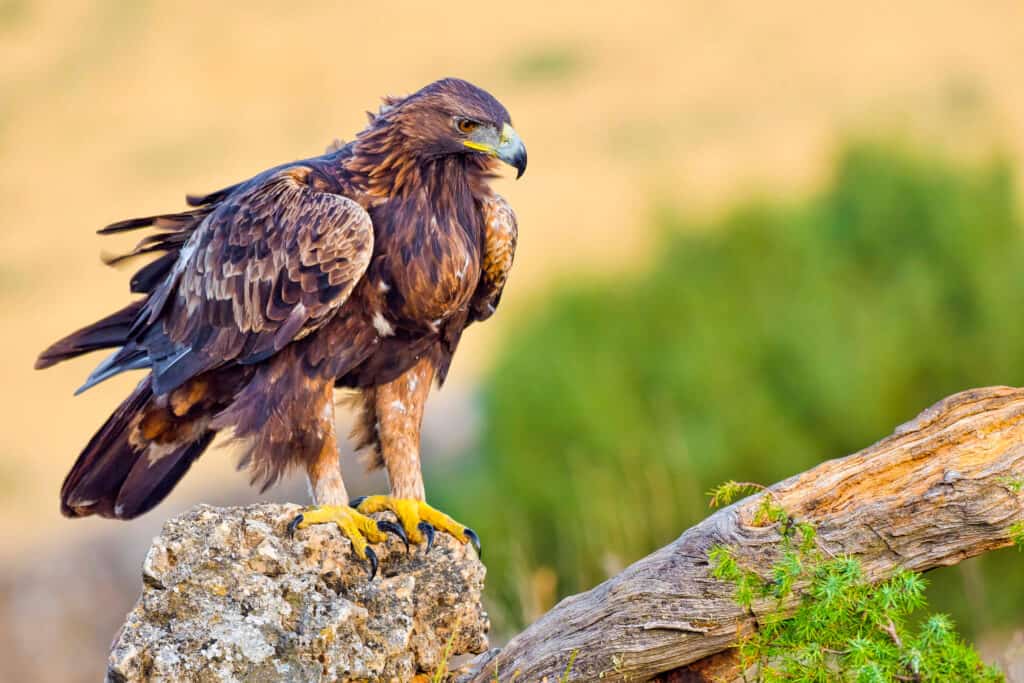
You can bird watch at the highest point in Oklahoma.
©Al Carrera/Shutterstock.com
Stargazing is one of the most popular activities at the highest point in Oklahoma. Black Mesa State Park is well known as one of the darkest places in the United States; it draws hundreds of astronomy enthusiasts every year. Additionally, birders will love this area for its plethora of birds, including pinyon jays, golden eagles, and scaled quail. Nature lovers may spot a wide variety of animals, including bighorn sheep, black bear, mule deer, antelope, and even bobcats and mountain lions.
Black Mesa marks the spot where the eastern plains meet the foot of the Rocky Mountains. This border makes for a dramatic landscape with plenty of variety for all. In the right conditions, it’s a photographer’s dream. If you’re lucky, you’ll get to see some great wildlife, amazing stars, and beautiful country on your hike to the highest point in Oklahoma.
Other High Points in Oklahoma
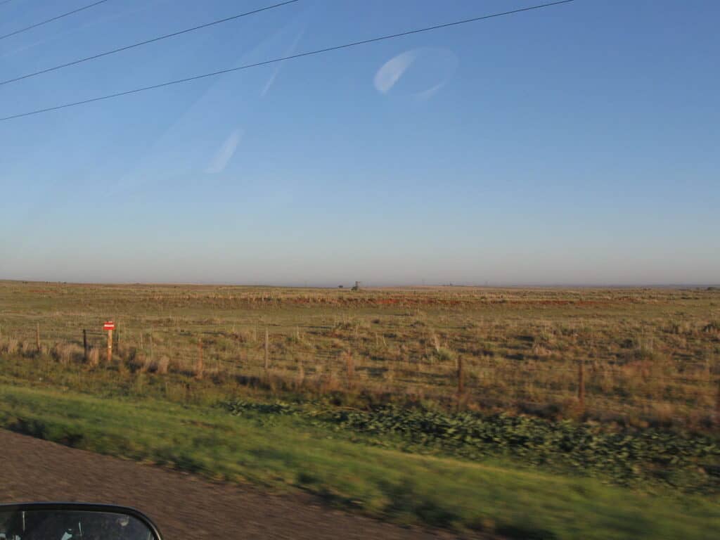
Beaver County plays host to the third-highest point in Oklahoma.
©DrunkDriver / CC BY-SA 3.0 – License
Black Mesa is easily the highest point in the state, but it’s not the only high point. Elam Benchmark, in Texas County, is the second highest point in Oklahoma, with an elevation of 3,770 feet. The third highest point is lower by far; 2,970 feet above sea level, at Beaver County High Point in Beaver County.
The fourth and fifth-highest points in Oklahoma have almost identical elevations. These are Rich Mountain, in Le Flore County, with an elevation of 2,666 feet, and Antelope Hills, in Roger Mills County, with an elevation of 2,604 feet. At that height, the fifth highest point in Oklahoma is over 2,000 feet lower than Black Mesa, at 4,973 feet.
The photo featured at the top of this post is © John A Davis/Shutterstock.com


Sources
- , Available here: http://www.ogs.ou.edu/pubsscanned/EP9_page2.pdf
- , Available here: https://www.netstate.com/states/geography/mapcom/ok_mapscom.htm
- , Available here: https://www.nature.org/en-us/get-involved/how-to-help/places-we-protect/black-mesa-preserve/
How to Add Us to Google News


Thank you for reading! Have some feedback for us? Contact the AZ Animals editorial team.