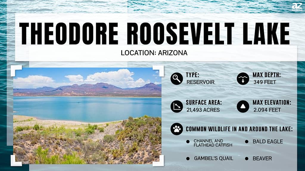
Arizona’s Theodore Roosevelt Lake (often simply called Roosevelt Lake) was created when Roosevelt Dam was completed on the Salt River in 1911, making it the oldest reservoir in the state.
The desert climate made Arizona tough for settlers from the very beginning. Water was the most important, and often hardest-to-find, resource. Then, when the rains did come, they often caused torrential flooding.
A Proposed Solution Becomes a Reality
A network of dams was proposed to provide water for homesteads and crop irrigation and also to provide a means of flood control. This system of dams was proposed in 1889, but adequate funding for the project was not available. That changed with the Federal Reclamation Act of 1902. One year later, funding was approved, and the dam project was underway.
Construction of Roosevelt Dam on the Salt River was completed in 1911 as part of the larger Salt River Project. The dam’s completion created Roosevelt Lake. Theodore Roosevelt, for whom both the dam and lake were named, was present for the dam’s dedication in March 1911. He had been instrumental in bringing the plans for the dam and lake to fruition during his presidency.
Interestingly, this Arizona dam and lake are actually older than the state itself. Roosevelt Dam was completed in 1911, while Arizona didn’t achieve statehood until 1912. It was the last of the 48 contiguous U.S. states to be admitted into the Union.
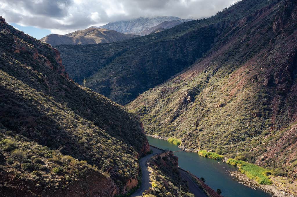
The Salt River runs through the Sonoran desert valley to the Roosevelt Dam in Arizona.
©iStock.com/Eric Mischke
The World’s Largest at the Time
At the time of its dedication, Roosevelt Dam stood 280 feet tall. It was the largest masonry dam in the world at the time. Roosevelt Lake, which the dam created, was also the largest artificial lake in the world. Both records have since been surpassed, but Roosevelt Lake is still the largest lake located wholly within the state of Arizona. Lake Mead and Lake Powell are bigger, but Lake Mead crosses into Nevada and Lake Powell into Utah.
In 1996, Roosevelt Dam underwent a $430 million modification project. The original stones of the dam were encased in cement, and the dam’s height was raised to 357 feet. This enlarged Roosevelt Lake’s capacity by 20%.
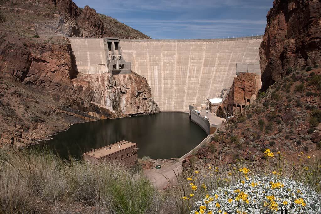
The Theodore Roosevelt Dam is on the Salt River and Tonto Creek, located northeast of Phoenix, Arizona.
©iStock.com/uhg1234
Modern-Day Roosevelt Lake
Vital Public Services
Today, Roosevelt Lake features 128 miles of shoreline. The 1996 dam modification project gives the lake enough water for one million people. It now has the capacity to generate 36 megawatts of electricity, enough to power 30,000 homes. It also provides enhanced flood control and irrigation, helping to turn the desert into fertile agricultural land.
Roosevelt Lake is part of the Tonto National Forest. Along with its vital supply of water and electricity to the region, the lake is also a favorite recreation destination. Located 80 miles east of Phoenix and 150 miles north of Tuscon, the lake draws thousands who want to escape the Arizona heat with a day at the lake.
Fishing
The lake is stocked with healthy populations of channel and flathead catfish, carp, bluegill, crappie, and smallmouth and largemouth bass. It’s common for Lake Roosevelt anglers to land impressive, even trophy-sized fish. Previous state records for largemouth (14 lbs. 8 oz.) and smallmouth bass (7 lbs. 4 oz.) were caught in the lake. Crappies weighing over a pound are common. The lake also boasts catfish over 60 pounds.
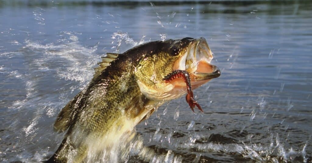
Roosevelt Lake is one of the best fisheries in Arizona.
©iStock.com/stammphoto
Boating
Boating enthusiasts enjoy the lake on houseboats, pontoons, sailboats, and ski boats. If it floats, you’re like to see it on Lake Roosevelt.
Camping and Hiking
Tent camping is available on the lake. Some of the most popular sites include Grapevine, Schoolhouse, Cholla, Indian Point, Cholla Bay, and Bachelor Cove. Roosevelt Lake Marina also has tent and full-hookup RV sites.
While there are a few rough trails, the only maintained hiking trail in the area is Vineyard Trail. It is part of the Arizona Trail, an 800+ mile hiking trail that runs from the Arizona-Mexico border to Utah.
The Apache Trail
Roosevelt Lake sits on the northern end of the Apache Trail. This road was originally constructed for the region’s dam projects in the early 1900s. Today, it provides a scenic and adventurous drive. Part of the road is paved, while part of it is still dirt. RVs and trailers are strongly discouraged from using the Trail.
The Apache Trail is a 39-mile-long scenic byway that showcases igneous mountains, saguaro and ferocacti, and multiple lakes, including Apache Lake, Canyon Lake, and Saguaro Lake. It’s an unforgettable experience while you’re visiting the biggest lake of them all: Roosevelt Lake.
Important note: at the time of this writing, a 5-mile portion of the Apache Trail is closed due to the 2019 Woodbury Fire. The Arizona Department of Transportation will provide updates on when the entire road will be reopened.
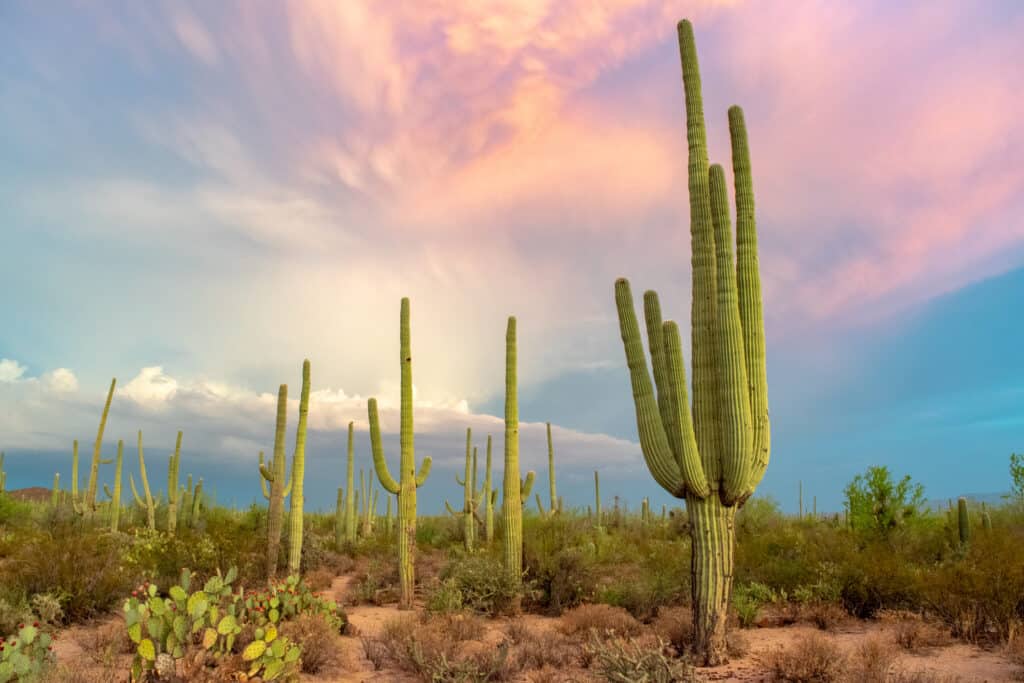
Saguaros and small cacti feature prominently along the Apache Trail.
©iStock.com/Nate Hovee
Where is Roosevelt Lake Located on a Map?
Lake Roosevelt lies in the Tonto Basin, a low-lying area amid three mountain ranges: the Sierra Ancha Mountains, the Mazatzal Mountains, and the Superstition Mountains. State Highway 188 runs along the western side of the lake for much of its length, but the lake can also be reached by State Highway 88.
The photo featured at the top of this post is © iStock.com/twohumans
Thank you for reading! Have some feedback for us? Contact the AZ Animals editorial team.


