
Idaho, known as the “Gem State,” has diverse terrain. Idaho is beautiful, from towering mountains to rolling plains, deep canyons, and crystal-clear lakes. Unfortunately, Idaho is one of the coldest regions in the United States, with an average daily temperature of only 15 degrees. The city of Wallace in Idaho receives the most rain per year in the state. The climate in this beautiful state varies throughout the cities but usually consists of solid winters and warm summers. Temperatures range from -60 degrees to 118 degrees. The coldest monthly mean temperature is -20 degrees, and the warmest monthly mean temperature is 104 degrees.
Rainiest Place in Idaho
So, what place is the rainiest in Idaho? Let’s first look at which cities in Eastern Idaho, Central Idaho, Southwestern Idaho, and Northern Idaho receive the most precipitation. The precipitation is based on the annual average for rainfall plus snowfall in the state. Preston received the most rain in eastern Idaho, with an average of 17.3 inches on 94 days out of the year. In central Idaho, the city with the most annual average for rainfall plus snowfall is Stanley, Sawtooth Recreation Area, on 125 days of the year. For southwestern Idaho, McCall receives 25 inches of precipitation on 125 days of the year. Finally, in Northern Idaho, the city with the most rain was the city of Wallace, with 37.2 inches of precipitation over 151 days of the year, receiving the most rain in the whole state.
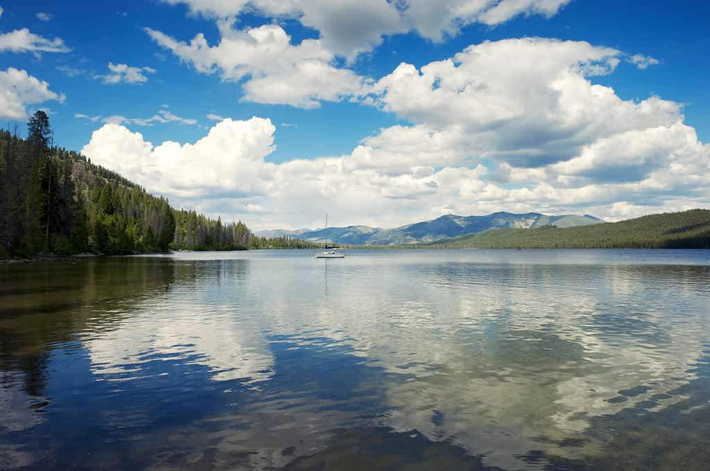
The climate in Idaho varies throughout the cities but usually consists of solid winters and warm summers.
©PeskyMonkey/Shutterstock.com
Wallace
Named the Silver Capital of the world, Wallace receives the most rain on average per year in Idaho as it lies in the Northern region. Wallace, Idaho, is a city in Shoshone County, Idaho, in the Silver Valley mining district of the Idaho Panhandle. Founded in 1884, the town sits alongside the South Fork of the Couer d’ Aleme River. Wallace continues its 100-plus-year run as the world’s largest silver producer. This makes the city the wealthiest mining town still in existence. The National Register of Historic Places lists Wallace as the town with the last traffic light on a coast-to-coast Interstate highway, and a marker in downtown Wallace explains about “The Last Stoplight.” This historical city, despite the rain, is a vacation destination for all four seasons for skiing, snowboarding, biking, and hiking.
The Federal Highway Administration (FHWA) originally planned to build I-90 as an at-grade freeway. This plan would have demolished most of downtown Wallace. In the 1970s, city leaders list every building in the downtown on the National Register of Historic Places. The FHWA had to redesign I-90 to bypass downtown because federal law protects historic places from negative effects of highway construction.[30][31][32] An elevated viaduct was erected.
Many people often confuse weather and climate, but they are very different. For example, the weather is defined as the characteristics of the atmosphere over a short time, while climate, on the other hand, is atmospheric conditions over long periods.
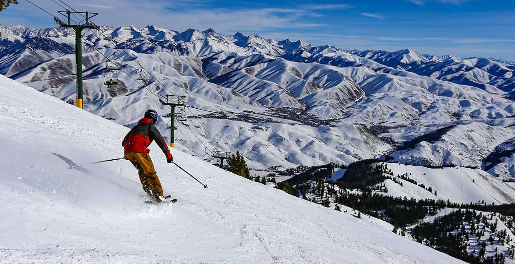
Wallace is a vacation destination for all four seasons for skiing, snowboarding, biking, and hiking.
©CSNafzger/Shutterstock.com
Weather
The weather is how the atmosphere behaves and its effects on life and human activities. Weather can change very fast on a minute-by-minute basis. When people think of the weather, people think of temperature, humidity, precipitation, cloudiness, brightness, visibility, and wind.
Climate
The climate is the average weather in a place over a long time. The environment describes the long-term pattern of temperature in an area. The climate is the average weather for a particular region over a 30-year period.
Due to Idaho’s northerly latitude location in North America, Idaho’s climate has significant seasonal temperature differences. Idaho gets freezing winters and warm summers, but wide ranges in elevation affect the state’s regional precipitation. The east and west mountains guard the low-elevation regions of southern Idaho. This reduces the amount of moisture that can penetrate the area resulting in generally low precipitation amounts. On the other hand, northern and central Idaho, in higher elevations, receive up to four times the amount of rain and snow.
Now Idaho isn’t the Arctic, but cold weather doesn’t scare Idahoans. On average, Idaho receives 47 inches of snow annually, with the U.S. average only being 28 inches. Idaho gets less rain than the United States average, with 18 inches of rain annually, with the United States average being 38 inches. Idaho receives precipitation in rain, snow, sleet, or hail 99 days out of the year.
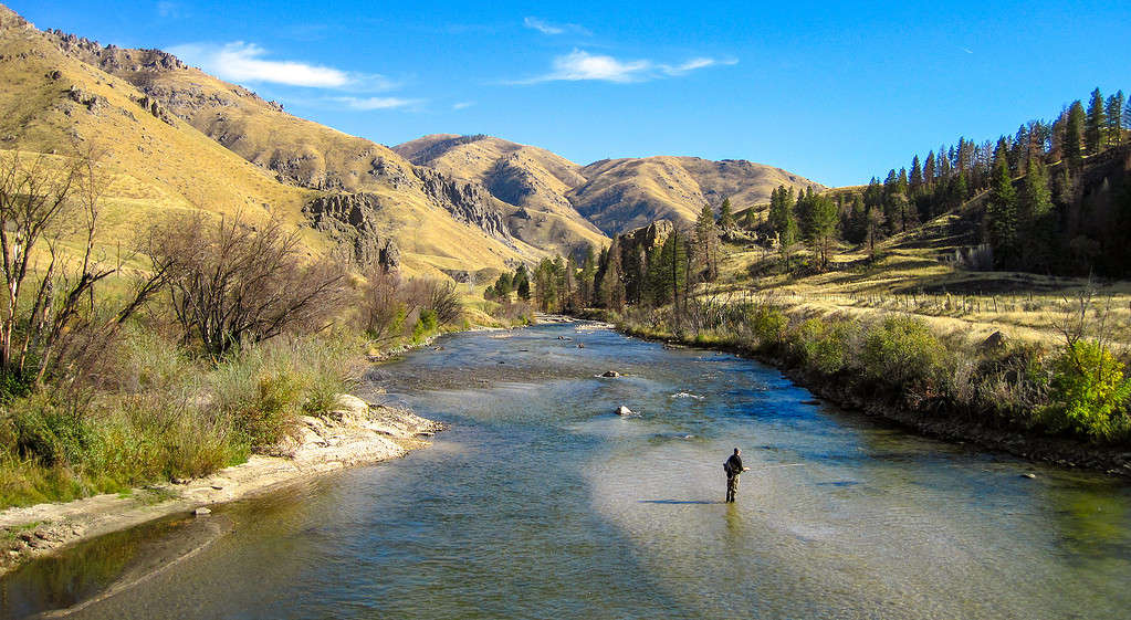
Due to Idaho’s northerly latitude location in
North America
, Idaho’s climate has significant seasonal temperature differences.
©CSNafzger/Shutterstock.com
Sunniest Place in Idaho
Now that we have covered the city that receives the most rain annually, what about the area with the most sunny days? The city in Idaho with the most sunny days is the city of Boise. Boise had a total of 120 sunny days per year. Sunny days are defined by the total number of days per year where the sky is mostly clear. Pocatello came in second with 106 days per year and Lewiston with 91.
Boise, the capital city of Idaho, is one of the most beautiful places to live in the Pacific Northwest. It is a beautiful place to live and one of the best places in the United States for year-round weather. Boise has an annual high temperature of 64 degrees F and an annual low temperature of 41 degrees F. Heavy snowfalls and sub-zero temperatures are common elsewhere in the region, but not in the sunny city of Boise. The winters are mild and and the summers are sunny, warm, and have low humidity. Boise is a fast-growing city and usually ranked in the top 20 cities to live in America.
Where is Wallace Located on a Map?
Most of downtown Wallace almost got wiped out in the 1970s by the construction of Interstate Highway 90. To save the town, city leaders listed every downtown building on the National Register of Historic Places. Since historic sites are protected by law, an elevated viaduct was erected instead and only a business route runs through town.
The photo featured at the top of this post is © Tucker James/Shutterstock.com


How to Add Us to Google News


Thank you for reading! Have some feedback for us? Contact the AZ Animals editorial team.