
Canada is not only renowned for its national symbol, the maple leaf, but it has also established its importance in more ways than one. For example, it shares the world’s longest international land boundary with the United States.
The Great White North is the second-largest country in the world by total area, behind only Russia. It spans 3.9 million square miles (10 million square kilometers) and the northern two-fifths of North America.
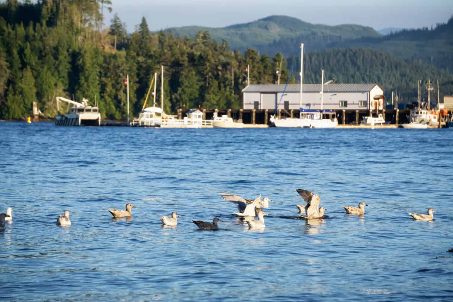
Weather Patterns Across Canada
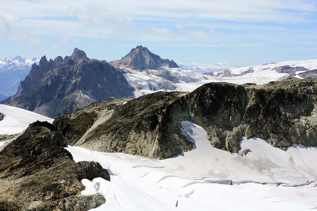
Many areas of Canada experience bitterly cold winters, with the interior and Prairie provinces being most affected.
©Marius M. Grecu/Shutterstock.com
With its latitudinal size and expansive landscape, the weather patterns in Canada are, unsurprisingly, varied. The Gulf Stream in the Atlantic and the Alaska Current in the Pacific significantly impact climate, as do other ocean currents.
The predominant air currents in the Pacific are westward winds moving from the sea to the land. These winds give coastal British Columbia high precipitation and temperate winter and summer temperatures. The Great Lakes in the Inland regulate the weather in southern Ontario and Quebec.
There are regional differences in the average summer and winter temperatures throughout Canada. Many areas of the country experience bitterly cold winters, but the interior and Prairie provinces, which have a continental climate, are most affected.
Daily average temperatures there hover around -15 °C (5 °F), but they can dip as low as -40 °C (40 °F) with extremely cold wind chills. While snow might linger in some northern regions all year, it can blanket the ground for roughly half the year in non-coastal areas. The British Columbia coast enjoys a temperate climate characterized by a moderate and rainy winter.
The average summer high temperature between the coastlines ranges from 25 to 30 °C (77 to 86 °F), with temperatures occasionally rising above 40 °C (104 °F) in some inland locations. However, East and west coast average high temperatures are often in the low 20s °C (68 °F).
Vancouver and Victoria are the two main cities in Canada that do not fit the continental climatic pattern. An oceanic environment with a distinct summer dry season characterizes Vancouver’s proximity to the warm-summer Mediterranean.
Vancouver also has the mildest winters of all of Canada’s eight main cities compared to Winnipeg, with the harshest winters. Conversely, Montreal, Ottawa, and Toronto have the warmest summers. Victoria is the only major city that has an exclusively warm-summer Mediterranean climate.
7 Rainiest Places in Canada
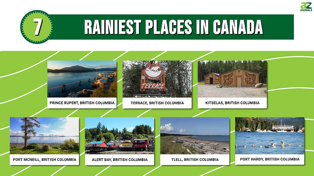
The west coast of British Columbia receives the most rainfall in all of Canada. In fact, British Columbia’s coastline areas dominate the top ten list of Canada’s rainiest places.
Vancouver residents take great satisfaction in their capacity to survive amid a perpetual cloud cover; the city has earned the nickname “Raincouver” due to its reputation for heavy fall rain. However, it’s not by any means the wettest region in Canada.
The 2021 World Rain Index report from Budget Direct gathered climatic data to determine the number of rainy days in 64,429 cities with at least one millimeter of precipitation.
These are the top 10 recorded in the Land of Maple Syrup.
1. Prince Rupert, British Columbia
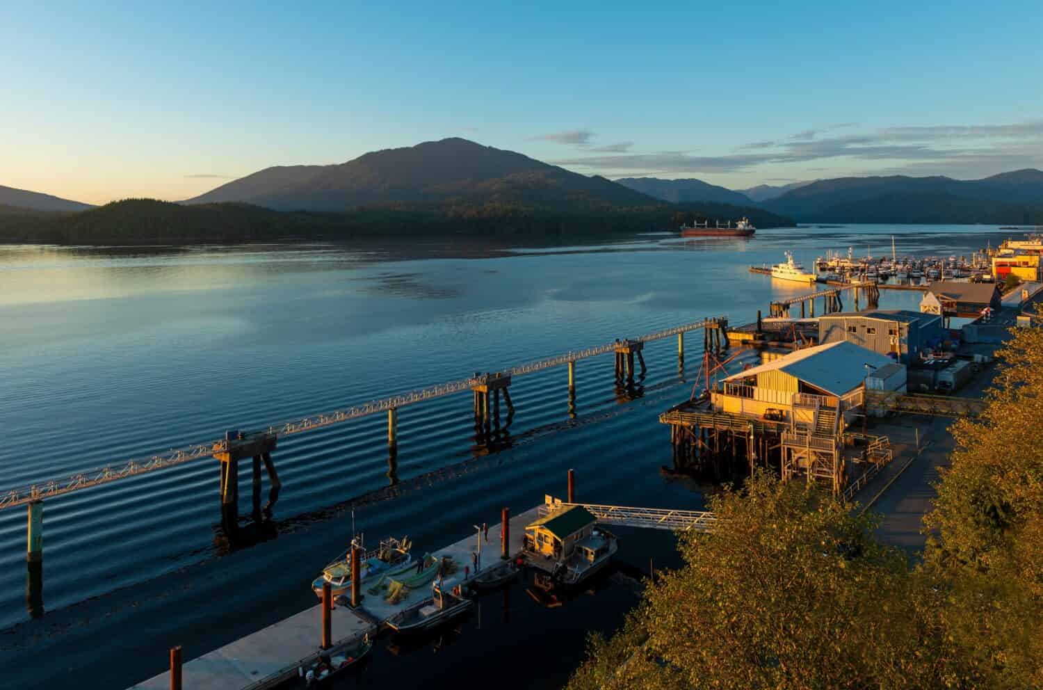
A beautiful sunset over Prince Rupert Harbor, caught on a sunny day.
©SL-Photography/Shutterstock.com
With 2,620 mm (103 in) of precipitation annually on average, 2,530 mm (100 in) of it raining, Prince Rupert is renowned as “The City of Rainbows” and is also Canada’s wettest city. October is typically the wettest month, receiving an average precipitation of 331 mm (13 in).
Prince Rupert has the coolest summers among the biggest 100 cities in Canada, with an average maximum temperature of 15.67 °C (60.21 °F). However, they experience a moderate winter compared to other Canadian cities. The city’s average afternoon temperature in December, January, and February is 5.2 °C (41.4 °F), ranking it the tenth warmest city in Canada.
The daily mean temperature in August is 13.8 °C (56.8 °F), which indicates that summers are pleasant and relatively less rainy. Winters are cold and damp but warmer than most places at a comparable latitude due to the influence of the Pacific.
Although spring and fall aren’t very distinct, fall months record the highest rainfall, making this the rainiest place in Canada.
The port city of Prince Rupert on Kaien Island is close to the Alaskan Panhandle within the Canadian province of British Columbia. The North Coast of British Columbia uses it as a land, air, and marine transit center.
Its population increased by 0.7% from 12,220 inhabitants in 2016 to 12,300 as of the 2021 census. The population density in 2021 was 186.4/km2 (482.7/sq mi), with a land area of 66 km2 (25 sq mi).
2. Terrace, British Columbia
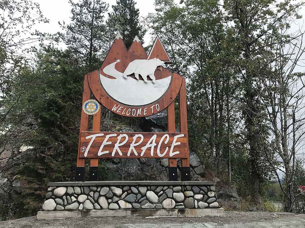
The most rain you’ll see in Terrace is from October through February.
©CC BY-SA 4.0 / CC BY-SA 4.0 – License
Terrace experiences humid, chilly winters (albeit significantly milder than those found inland) and drier, warm summers. The average yearly temperature of 6.6 °C (43.9 °F) varies between an average of 3.0 °C (26.6 °F) in January and an average of 16.5 °C (61.7 °F) in July.
Although temperatures exceeding 32 °C (90 °F) have been reported every month from May to September, and a maximum of 37.3 °C (99.1 °F) has been recorded, summertime temperatures (June to August) often hover around 15.7 °C (60.3 °F).
It takes 1,460.4 mm (57.5 in) of precipitation to support the region’s lush flora in Terrace, which averages 1375.7 mm (54.2 in) of annual rainfall and 331.5 cm (130.51 in) of snowfall.
It rains the most from October through February. Making this another of the rainiest places in
Canada. Although west and southwesterly winds are the most common, a few northerners in the winter bring snow.
Terrace is close to the Skeena River in British Columbia. It’s the central location for retail services in BC’s northwest. The city was initially known as Littleton. Although, postal authorities rejected it due to potential confusion with Lyttleton, a town in New Brunswick. The newly coined name describes how the land rises from the river.
3. Kitselas, British Columbia
Even at its driest, Kitselas sees much rain.
©Hans-Jürgen Hübner / CC BY-SA 3.0 – License
In Kitselas, it rains a lot all year long; rainfall is abundant even in the driest month. There’s approximately 2060 mm (81.1 inches) of rain annually. The city records the most precipitation in October, with an average rainfall of 269mm (10.8 inches). Unfortunately, October also has the wettest days in a year (20.53), leaving February with the least number (14.47).
Kitselas has a cold, temperate climate; 4.3 °C (39.7 °F) is the average yearly temperature. August is the warmest month of the year, averaging 14.5 °C (58.1 °F). On the other hand, the lowest average temperature is in December at -4.8 °C (23.4 °F).
Throughout the year, Kitselas records about 1973.87 hours of sunshine, while monthly sunlight hours total 64.86 on average.
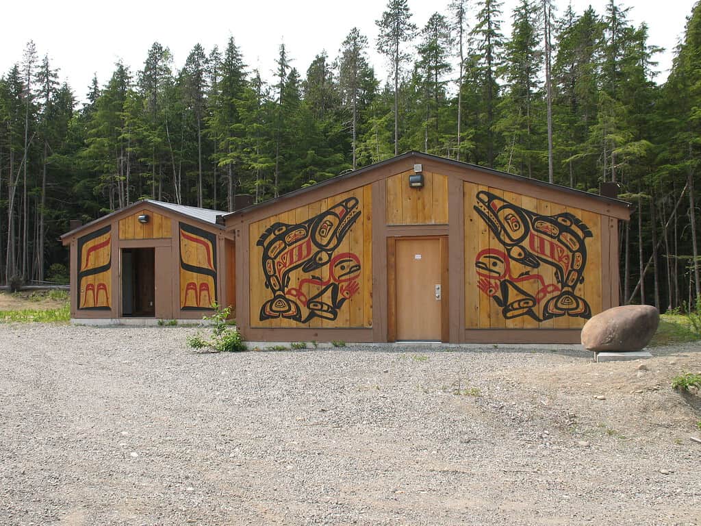
Tsimshians live in Kitselas, often spelled Kitsalas, an unincorporated community on the Skeena River in northwest British Columbia, Canada. In Tsimshian, the word “Kitselas” refers to the people of the village at the canyon.
4. Port McNeill, British Columbia
As much as it rains there, Port McNeill is a beautiful place.
©Klara_Steffkova/Shutterstock.com
The annual rainfall in Port McNeill totals up to 1442mm (56.77″) and lasts 203 days. January records the highest precipitation, with 223mm (8.78 inches) of rain over 19.8 days. July has the least precipitation, receiving 33mm (1.3 inches) over 10.7 days.
The coldest month is December, with average high temperatures of 4.2°C (39.6°F) and low temperatures of 0.7°C (33.3°F). Conversely, August is the warmest month in Port McNeill, with average high and low temperatures of 19.1°C (66.4°F) and 9.8°C (49.6°F), respectively.
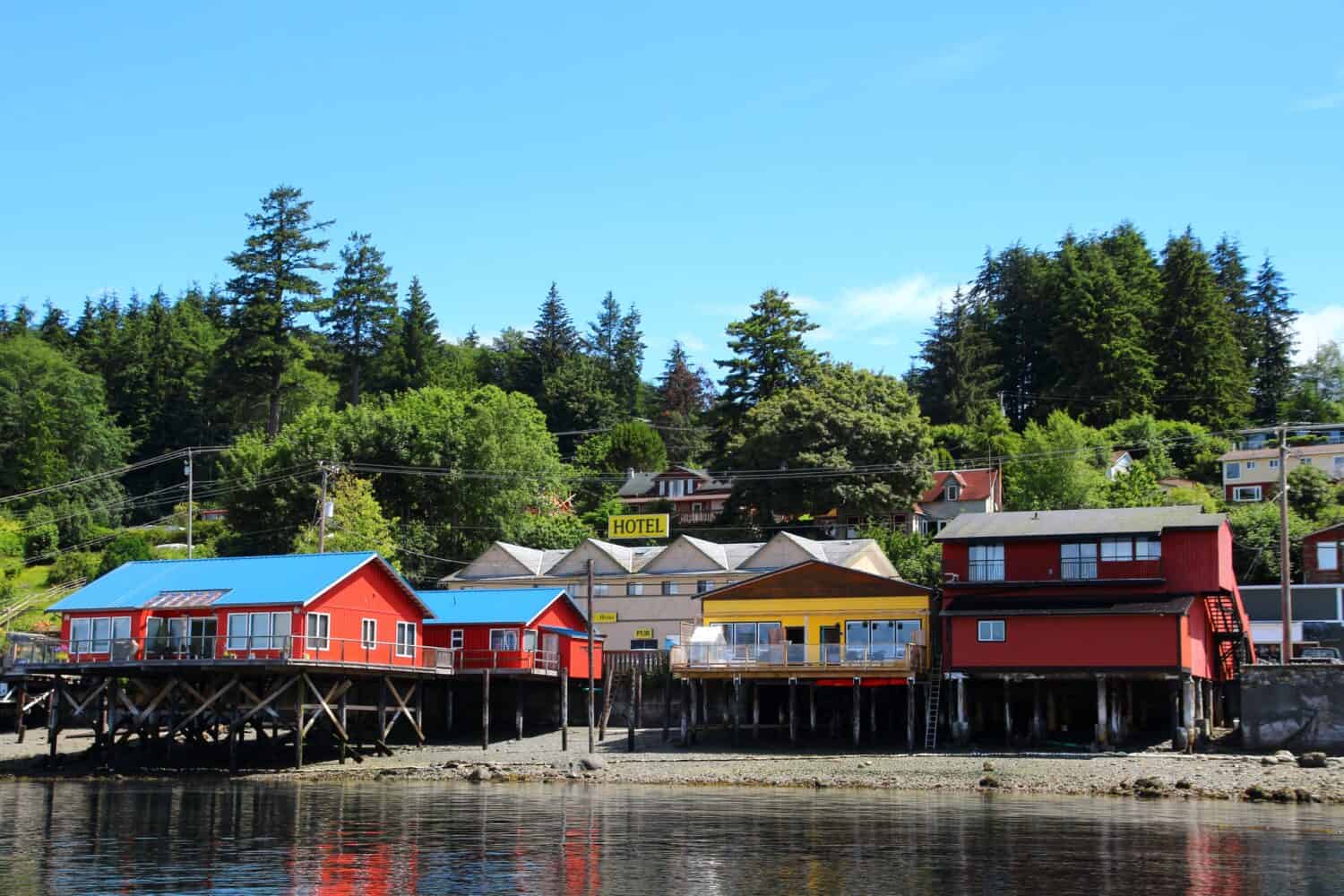
Port McNeill is on the northeastern side of Vancouver Island, on Queen Charlotte Strait. It started as a logging base camp before becoming a settlement in 1936. Captain William Henry McNeill of the Hudson’s Bay Company was honored with its name.
5. Alert Bay, British Columbia
With its proximity to the Pacific Ocean, there is plenty of rain at Alert Bay.
©jet 67/Shutterstock.com
Alert Bay experiences significant rainfall mainly because of its closeness to the Pacific Ocean and its location in the path of low-pressure systems from the ocean. As a result, winter is the wettest season, but it rarely snows because the average low temperature is above freezing.
The annual average precipitation is 1,591.5mm (62.66 inches), while the yearly average rainfall is 1,526.6 (60.10 inches). 11.6 °C (52.9 °F) and 5.4 °C (41.7 °F) are the average high and low temperatures, respectively.
The average number of rainy days ( greater than or equal to 0.2 mm) is 205.5, while the average number of days with precipitation ( greater than or equal to 0.2 mm) is 211.8.
Alert Bay is a village within the Regional District of Mount Waddington, British Columbia. It lies on Cormorant Island, near Port McNeill on northeast Vancouver Island. The tallest totem pole in the world, which stands at 173 feet tall, can be found in this Canadian village.
This village is sparsely populated and recorded a further decline as of the 2021 census. There were 479 inhabitants in 2016, but the 2021 census showed a 6.3% reduction in the population to 449. Its population density in 2021 was 265.7 people per km2 (688.1 people per square mile). Meanwhile, its land area was 1.69 km2 (0.65 sq mi).
6. Tlell, British Columbia
Over 240 days see rain in Tlell.
©vagabond54/Shutterstock.com
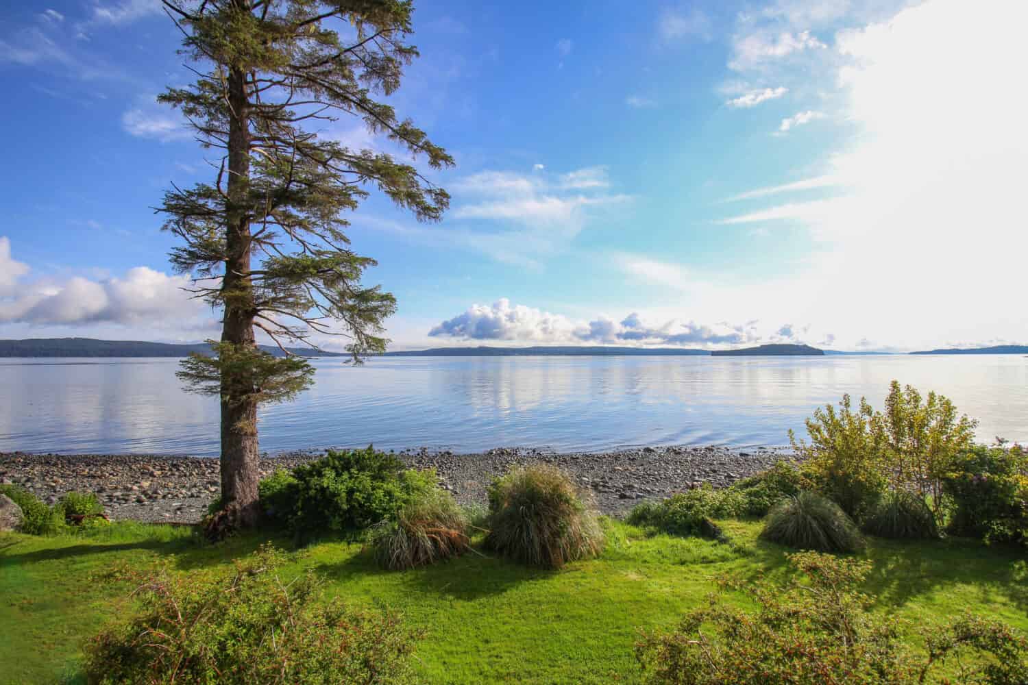
Tlell is an unincorporated settlement on the east shore of Graham Island. It’s a part of Haida Gwaii (formerly the Queen Charlotte Islands) in British Columbia. The average number of wet days (greater than or equal to 0.2 mm) is 243.5. Meanwhile, the average number of precipitation days ( greater than or equal to 0.2 mm) is 247.9.
5.3°C (41.5°F) on average for the high and 2.3°C (36.1°F) on average for the low make February the coldest month in Tlell. The warmest month is August, which records average high temperatures of 16.4°C (61.5°F) and low temperatures of 12.2°C (54°F).
There are 211.6 days of rain in a year in Tlell, totaling 141mm (5.55″) of precipitation. January is the wettest month on record, while May is the driest.
7. Port Hardy, British Columbia
Summers at Port Hardy are unusually cool, and the rain there is prevalent.
©EB Adventure Photography/Shutterstock.com
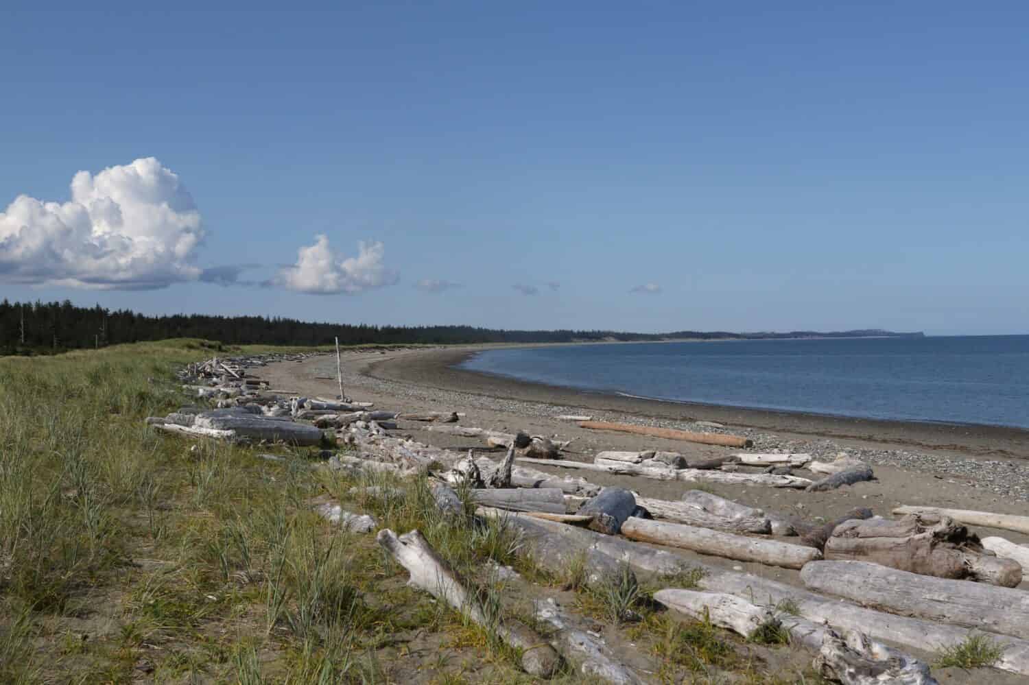
Vice-Admiral Sir Thomas Masterman Hardy, who commanded HMS Victory, the world’s oldest operational naval vessel, inspired the naming of Port Hardy. It’s a district municipality on the northeastern tip of Vancouver Island. Also, the entry point to Cape Scott Provincial Park, the North Coast Trail, and the BC Marine Trail.
3,902 people were residing in Port Hardy as of the 2021 census. It’s the twin city of Numata in Japan.
It has an oceanic climate because of exposure to the moderating impact of the Pacific. Thus, winters are very mild, and summers are unusually cool for the latitude. However, summer rainfall is still more than those climates in the southern Mediterranean despite the characterized drying trend in summer. Port Hardy receives significantly more rain in the winter than Canada’s interior.
The yearly average temperature is 8 °C (46 °F), with only modest seasonal temperature fluctuations. The annual average rainfall is 1550mm (61 inches).
Conclusion
Canada has its fair share of wet weather but also has natural beauty, friendly communities, and outdoor adventures. You can explore the diverse landscapes in these areas; don’t forget your raincoat.
Summary of the 7 Rainiest Places in Canada
| Location | |
|---|---|
| 1 | Prince Rupert, British Columbia |
| 2 | Terrace, British Columbia |
| 3 | Kitselas, British Columbia |
| 4 | Port McNeill, British Columbia |
| 5 | Alert Bay, British Columbia |
| 6 | Tlell, British Columbia |
| 7 | Port Hardy, British Columbia |
The photo featured at the top of this post is © iStock.com/Daria Nipot


How to Add Us to Google News


Thank you for reading! Have some feedback for us? Contact the AZ Animals editorial team.