Introduction
Did you know that Vermont receives more annual snowfall than anywhere else in the United States? The state averages 89 inches of snow annually, but some mountainous areas can receive over 300 inches of snow in one year. Factors like topography, distance from the coast, and storm patterns all make Vermont one of the snowiest states with one of the coldest winters.
Understanding Snowfall in Vermont
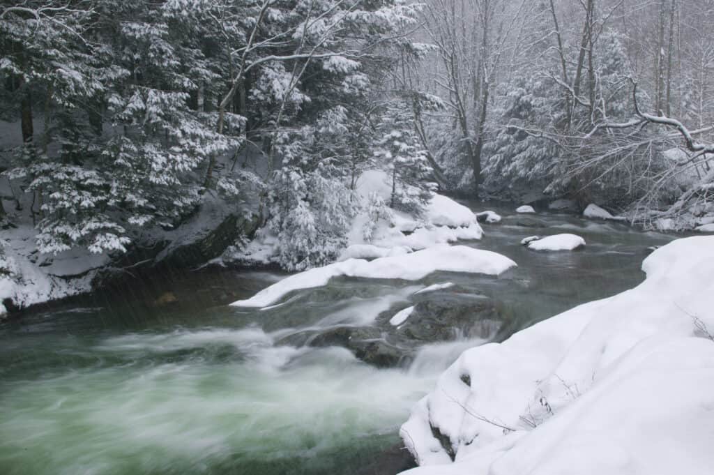
Although massive snowstorms are known to occur in Vermont every several years, the biggest and worst blizzard hit Vermont in 1888.
©iStock.com/DonLand
Three distinct storm tracks influence the amount of snowfall in Vermont. Northwest storms are cold and dry. Southwest storms are warmer and have more moisture. Coastal storms are a rarity, but they produce drastic effects like long-lasting blizzards. When the three storm types meet Vermont’s Green Mountains, orographic lift occurs, which accounts for Vermont’s reputation for heavy snowfall.
Part of understanding Vermont’s snowfall patterns is found in orographic lift. Orographic lift happens when a mass of air passes from low terrain to high terrain because it is forced to rise over a mountain. When cold, moisture-packed wind hits the mountain, precipitation is released on the windward side as it rises due to orographic lift. On the leeward side, relatively less precipitation occurs because the air becomes drier and warmer as it falls. Therefore, amount of snowfall decreases on the leeward side. Because the Green Mountains are a mountain range rather than a singular slope, the effects of orographic lift dramatically intensify. Winds cannot simply pass over the slopes but are forced to face the range, resulting in increased snowfall on the windward side of the Green Mountains. This effect explains why mountainous areas receive more snowfall on average than other areas in Vermont.
Temperature in Vermont
Temperature and snowfall averages in Vermont are divided into three regions: Northern Vermont, Central Vermont, and Southern Vermont. Notable temperature averages in Fahrenheit for all three regions are as follows:
Northern Vermont
When snow typically begins to fall in October, the average temperature high measures at 57º, while the average low measures at 36º. These temperatures may seem high for snowfall, but this explains why October only averages an inch of snowfall in Northern Vermont. The largest average amount of snowfall measures at 24 inches in the month of December. During December, the average high for temperature is 28º, and the average low is 10º. Annually, the average temperature in Vermont measures between 31º and 53º, and the average annual snowfall comes to 101 inches.
Central Vermont
In Central Vermont, snow begins in October and averages one inch. The average high in October is 60º, and the average low is 38º. In January, Central Vermont receives its largest average amount of snowfall at 17 inches. The average high in temperature for January is 28º, while the average low is 11º. Central Vermont averages 67 inches of snowfall yearly, and temperatures range between 36º and 56º.
Southern Vermont
Unlike Central and Northern Vermont, Southern Vermont receives its first snowfall in November, averaging five inches with temperature highs at 49º and lows at 39º. Southern Vermont’s largest snowfall occurs in January and averages 19 inches. Temperatures range from 9º to 32º in January. The average annual snowfall for Southern Vermont measures 76 inches. The average annual high is 58º, and the average annual low is 34º.
Earliest First Snow Ever Recorded
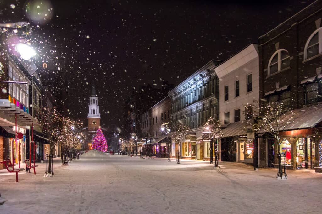
The earliest first snow of the season occurred in 1956 and 1991 on September 20th in Burlington, Vermont.
©iStock.com/Alex Boudreaux
The earliest first snow of the season occurred in 1956 and 1991 on September 20th in Burlington, Vermont. However, this snowfall left only a trace of snow. The earliest first snow that measured up to an inch occurred on October 9, 1979. The average date for the first trace of snow to appear in Burlington, Vermont is October 15th, while the average date for the first inch of snow to appear is November 17th. While November 17th may seem early for the start of a notable snow season, snow in Vermont typically starts to appear in early November. In fact, the earliest recorded first foot of snowfall happened on November 16, 1906, which takes place one day before the average first inch of snowfall in Burlington, Vermont.
Latest First Snow Ever Recorded
The latest first snow recorded in Burlington, Vermont occurred with a trace of snowfall in November of several years between the early 1900s and the 2000s. Although there is no specific date recorded for the latest first snowfall in Burlington, it can be assumed that the latest trace of first snow occurred after the average first snowfall date of October 15th. In the same way, the latest first inch of snow likely fell after November 17th.
Description of First Snowfalls in Vermont
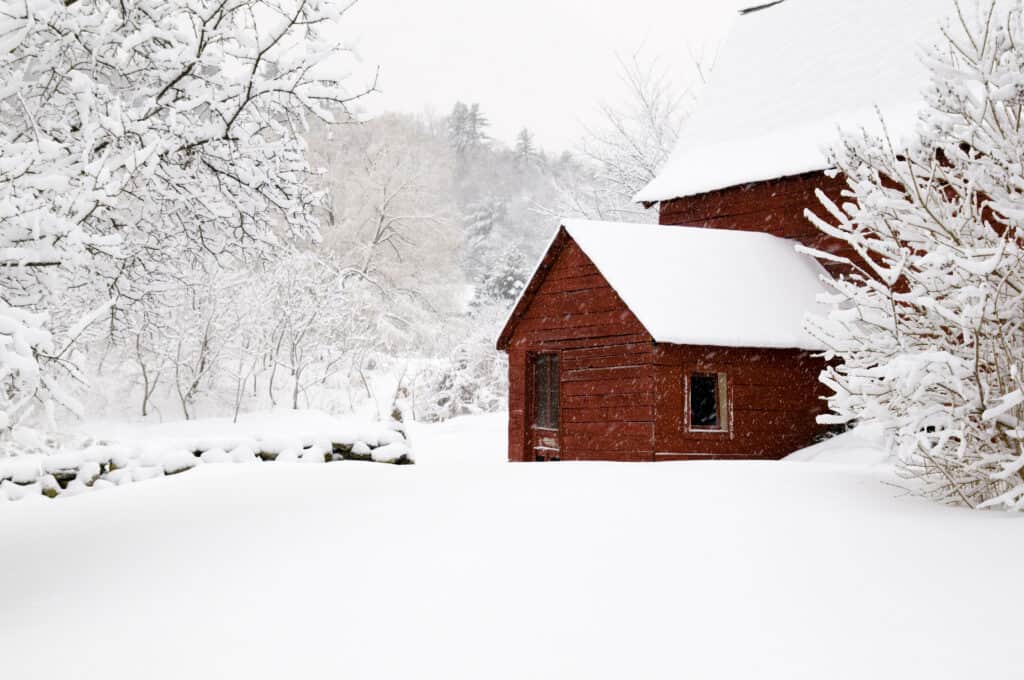
Factors like topography, distance from the coast, and storm patterns all make Vermont one of the snowiest states with one of the coldest winters.
©iStock.com/steverobertsphotography
First snowfalls in Vermont typically begin with just a trace of snow usually accumulating to less than an inch in measurement. However, some first snowfalls have been on the larger side. For instance, Burlington, Vermont received 20.4 inches of snowfall in 2002 in the month of November alone. This occurrence is notable because snowfall in November averages between five to 10 inches in each of the three Vermont regions.
Biggest Snowfall in Vermont
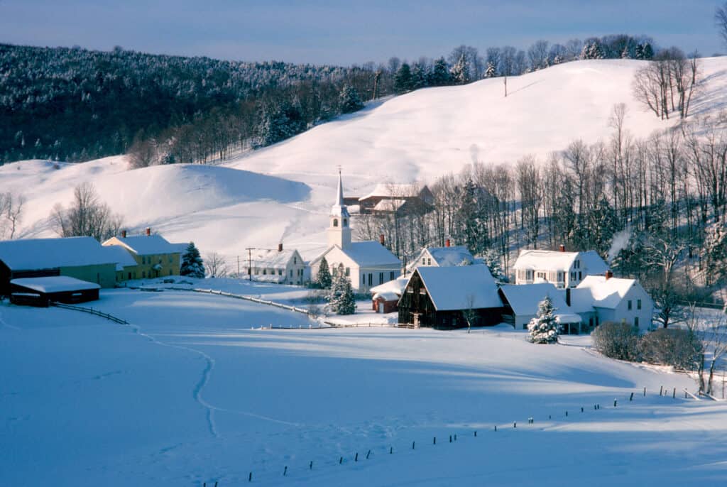
When snow typically begins to fall in October, the average temperature high measures at 57º, while the average low measures at 36º.
©iStock.com/George Robinson
The biggest snowfall in Vermont occurred on January 2nd and 3rd of 2010 when almost three feet of snow fell! The snow measured 33.1 inches. Two notable places in Vermont that receive the most snow are Mount Mansfield and Burlington. In 2007, Mount Mansfield received 326.8 inches of snow throughout the year. By comparison, Burlington received only 131.6 inches.
Blizzards in Vermont
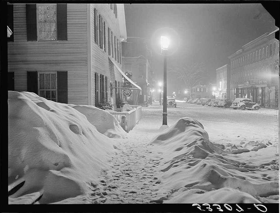
The state of Vermont averages 89 inches of snow annually, but some mountainous areas can receive over 300 inches of snow in one year.
©969 × 740 pixels, file size: 140 KB, MIME type: image/jpeg – License
Although massive snowstorms are known to occur in Vermont every several years, the biggest and worst blizzard hit Vermont in 1888. People called the blizzard The Great White Hurricane or The Great Blizzard of 1888. The Great White Hurricane covered 10 states in the Northeast, leaving three to five feet of snow in its wake. It killed approximately 400 people. In Southern Vermont, temperatures reached below 6º. People were trapped in their homes and left without telephone lines, therefore unable to contact the outside world.
The Best Places to Enjoy Snow in Vermont
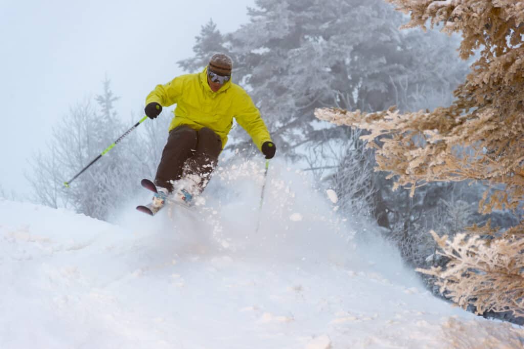
Annually, the average temperature in Vermont measures between 31º and 53º, and the average annual snowfall comes to 101 inches.
©iStock.com/DonLand
Some of the best areas to see and enjoy snow in Vermont are ski resorts. Sugarbush Resort in Warren, Vermont has the steepest slopes for skiing in the state and it averages 218 inches of snow annually. Another popular ski resort is Jay Peak in Jay, Vermont. Jay Peak averages 359 inches of snowfall annually and receives the most snowfall of any resort in the eastern United States.
Up Next
- The 5 Deadliest Blizzards of All Time
- Animals in Vermont
- The 5 Best Places to Camp in Vermont this Summer
The photo featured at the top of this post is © iStock.com/steverobertsphotography
Sources
- , Available here: https://www.vermont.com/weather/
- , Available here: https://www.weather.gov/media/btv/climo/extremes/late-erl-snow.pdf
- , Available here: https://www.weather.gov/media/btv/climo/extremes/top20snow.pdf
- , Available here: https://www.weather.gov/btv/historicalSnow
- , Available here: https://blog.snowplownews.com/snowfall_records/burlington-vermont/
- , Available here: https://blog.snowplownews.com/snowfall_records/mount-mansfield-vermont/
- , Available here: https://www.newenglandinnsandresorts.com/inspiration/the-blog/vermont-winter-vacations#:~:text=Sugarbush%20Resort%20(Warren),and%20always%20plenty%20of%20snow
- , Available here: https://www.onthesnow.com/vermont/sugarbush/historical-snowfall
- , Available here: https://jaypeakresort.com/skiing-riding/mountain
- , Available here: https://www.woodstockvt.com/the-town/blog/the-biggest-snowstorm-in-vermont-history
- , Available here: https://www.onthesnow.com/news/what-is-orographic-lift/
FAQs (Frequently Asked Questions)
How much snow does Vermont have?
Vermont averages 89 inches of snowfall per year, but some areas can receive over 300 inches of snow!
For how many months does it snow in Vermont?
It snows starting in October or November until March or April annually.
What is winter like in Vermont?
Winters in Vermont are cold and long with plenty of snowfall.
Thank you for reading! Have some feedback for us? Contact the AZ Animals editorial team.


