The mighty Yukon River ranks among North America’s most significant and important waterways. Derived from the Gwich’in Indian phrase chųų gąįį han, meaning “white water river,” the Yukon dominates the landscape of northwest Canada and Alaska. Historically, the river played an important role during the Klondike Gold Rush of 1896 to 1903. Today, it continues to play a vital role in the region’s economy and supports a diverse array of wildlife.
The Yukon River gets its name from its pale-colored water due to glacial runoff. That said, how wide does this gorgeous and powerful river measure?
In this article, we’ll take measurements of the Yukon River and gauge its average and maximum width. We’ll also examine some of its major tributaries, history, and features along the river. Finally, we’ll end with a look at fishing on the river and the current troubles facing its fish populations.
Where is the Yukon River?
Although the Yukon River shares its name with Canada’s Yukon territory, it does not begin within the territory. The Yukon River rises in northwestern British Columbia. Experts argue as to the location of the source of the river. Some contend that it begins near the south side of Atlin Lake, while others claim it begins near Lake Lindeman. Regardless, both lakes eventually flow into Tagish Lake and then Marsh Lake. The Yukon River proper starts on the northern side of Marsh Lake, not far from the town of Whitehorse.
From there, the Yukon River flows northward and passes into the Yukon. It charts a northerly course through several major cities, including Whitehorse and Carmacks. The river then passes through Dawson City and into eastern Alaska near the town of Eagle. It then cuts west through the state, passing numerous small towns. The river’s mouth resides near Kusilvak, Alaska, at which point it empties into the Bering Sea.
Where is the Yukon River on a Map?
You can see on the map below the general region of the Yukon River. As stated, you can find the proper river starting point near Whitehorse in the Yukon.
What is the Widest Point on the Yukon River?
The widest known point on the Yukon River is located near the Pilot Station sonar site. This sonar site rests around 121 miles upstream of the Yukon River’s mouth near the city of Pilot Station. At this point, the Yukon River measures approximately 3,280 feet wide. That said, the river varies in width depending on the location, weather, and time of year. For example, the Yukon River measures around 2,690 feet wide between the towns of Rampart and Tanama. Moreover, the river runs through a lot of undeveloped and seldom-traveled landscapes. This makes it difficult to get accurate data on the river’s measurements.
How Large is the Yukon River?
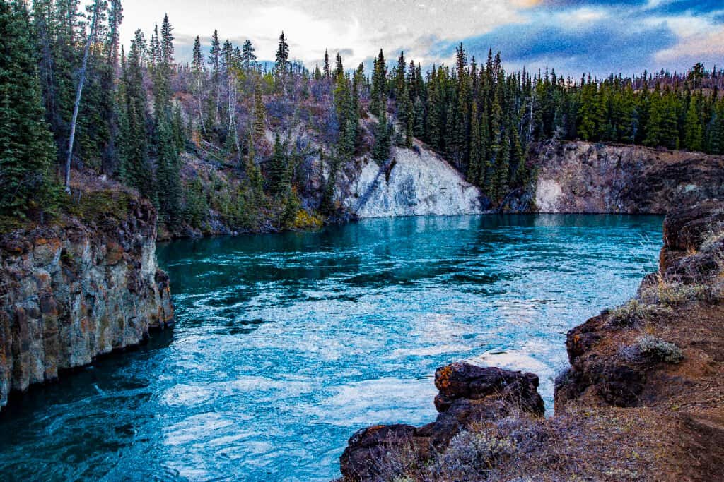
The Yukon River is the fourth-longest river in North America.
©iStock.com/HeatherECampbell
The Yukon River ranks as one of the largest rivers in North America and worldwide. From its source to its mouth, the Yukon River measures 1,980 miles long. This makes the Yukon River the longest river in the Yukon and Alaska. Moreover, it holds the title of the second-longest river in Canada and the fourth-longest river in North America. It has an average depth of between 30 and 40 feet but a maximum depth of 130.
The Yukon River features an average flow between 230,000 and 250,000 cubic feet per second. Its drainage area encompasses around 321,500 square miles. That means its total drainage area measures larger than the state of Texas!
Tributaries of the Yukon River
Numerous tributaries drain in the Yukon River. These waterways range from small streams and creeks to sizable rivers. For example, the Tanana River ranks as the largest tributary of the Yukon River. Located in eastern Alaska, the Tanana River measures 584 miles long and features an average discharge of 41,800 cubic feet per second.
Here is a list of a few of the major tributaries of the Yukon River:
Lower Yukon Tributaries
- Andreafsky River – 120 miles
- Atchuelinguk River – 165 miles
- Innoko River – 500 miles
- Koyukuk River – 425 miles
- Melozitna River – 135 miles
- Nowitna River – 250 miles
- Tanana River – 584 miles
Middle Yukon Tributaries
- Hodzana RIver – 125 miles
- Beaver Creek – 180 miles
- Birch Creek – 150 miles
- Chandalar River – 100 miles
- Christian River – 140 miles
- Porcupine River – 569 miles
- Charley River – 88 miles
- Kandik River – 82 miles
Upper Yukon Tributaries
- Fortymile River – 60 miles
- Klondike River – 99 miles
- Stewart River – 331 miles
- White River – 200 miles
- Pelly River – 330 miles
- Teslin River – 393 miles
History of the Yukon River
For thousands of years, numerous Native American tribes lived and hunted along the Yukon River. The river provided these people with water and food in the form of fish and acted as a primary form of navigation. Russian settlers first discovered the mouth of the Yukon River in 1831 when they occupied St. Michel Island. However, it would take another decade before explorers found the river’s source.
Over the next few decades, a stream of trappers, traders, and settlers slowly trickled into the region. However, the river saw a giant uptick in travelers in the late 19th century. The discovery of gold along the Klondike River in 1896 saw a rush of prospectors flood into the river in the Klondike Gold Rush. Hundreds of boats carrying people hoping to strike it rich traveled up the Yukon River during the next few years. However, once the gold rush died, so did migration into the region. The following 100 years saw little population growth in the Yukon. Many boom towns retracted in size, and government services moved upstream to more accessible cities.
Bridges and Dams on the Yukon River
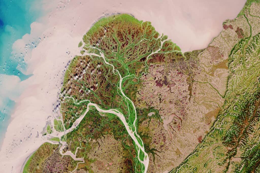
The Yukon River measures 1980 miles.
©lavizzara/Shutterstock.com
The Yukon River features only four vehicle-accessible rivers along its entire 1980-mile length. These include:
- The Lewes Bridge near Marsh Lake, Yukon
- The Robert Campbell Bridge in Whitehorse, Yukon
- The Yukon River Bridge in Carmacks, Yukon
- The Yukon River Bridge near Fairbanks, Alaska
You can find a car ferry at Dawson City, but the ferry only operates during the summer. In the winter, the ferry is replaced by an ice bridge. Meanwhile, a dam impounds the Yukon River near the city of Whitehorse. This dam impounds Schwatka Lake and produces hydroelectric power for the area.
Animals in the Yukon River
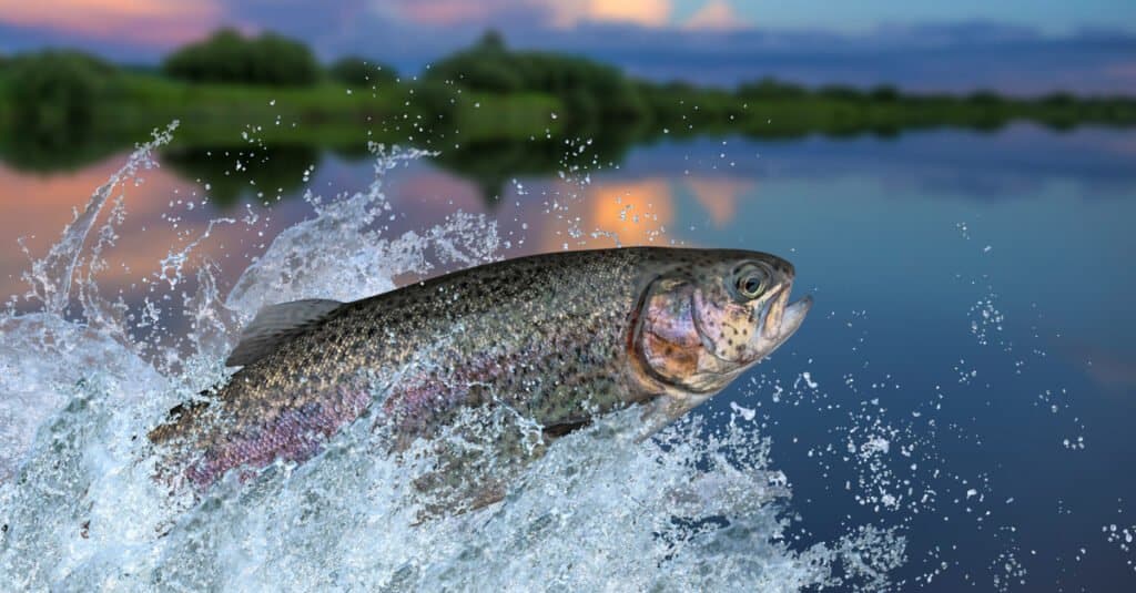
Rainbow trout are some freshwater fish species found in The Yukon River.
©FedBul/Shutterstock.com
The Yukon River supports a wide array of plants and animals. Freshwater fish species in the river include Arctic char, Arctic grayling, salmon, and rainbow trout. You can also find various mammals along its banks, such as beavers, bears, otters, and muskrats.
Historically, the Yukon River featured one of the longest and richest salmon runs worldwide. The river is home to coho, chum, and Chinook salmon. These salmon swim up the river from its mouth in western Alaska to their spawning grounds in Yukon and British Columbia. Anglers prize these fish for their size and great taste. Salmon require large fat stores to give them energy for the upstream trip. This extra fat lends to their silky-smooth texture and delicious taste.
Why Did the Government Ban Fishing on the Yukon River?
Over the last few years, the salmon run in the Yukon River has been much lower than in previous decades. King and chum salmon have entirely disappeared from the river, significantly damaging the region’s native populations. Native peoples and other subsistence communities rely on salmon for food and economic stability. Opinions vary as to the cause of the downturn in salmon numbers. Some argue that climate change represents the primary cause of the dwindling numbers. Others claim that commercial fishing offshore is scooping up wild salmon before they get a chance to spawn.
In response to this crisis, the government of Alaska has banned salmon fishing on the Yukon River several times during the past few years. The government enforced this ban in an attempt to stabilize salmon populations. However, this move has angered many Native communities who rely on the fish. Only time will tell whether this move will restore salmon populations to their former highs.
The photo featured at the top of this post is © iStock.com/HeatherECampbell
Thank you for reading! Have some feedback for us? Contact the AZ Animals editorial team.


