
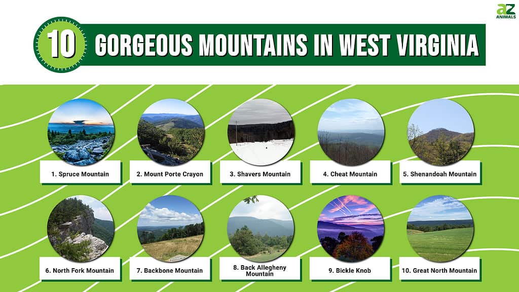
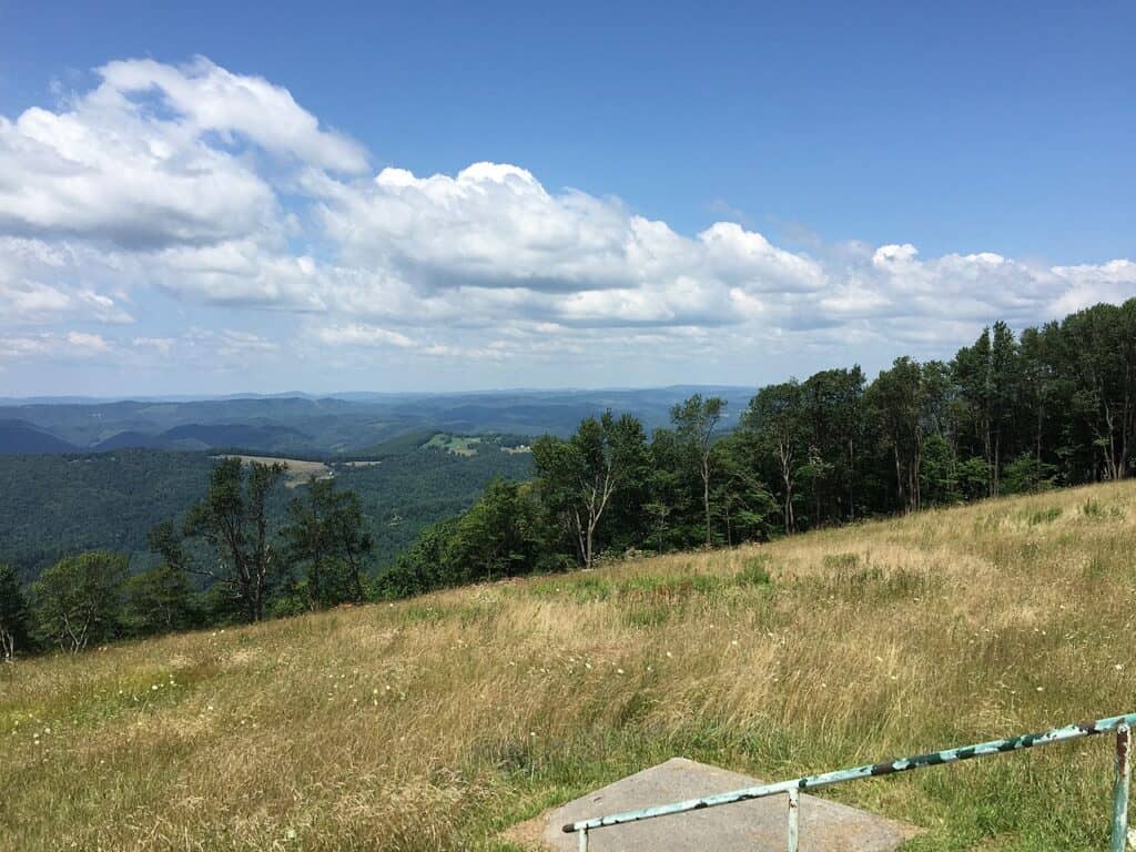
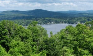
The mountains in West Virginia may not be the highest within the US but there are a lot of them. West Virginia is one of the few states that lies entirely within a mountain range. All of West Virginia is part of the massive Appalachian Mountain chain.
Because there are so many large hills and mountains in West Virginia it’s a great place for hiking and camping. If you’re an outdoor lover and you want to challenge yourself or get yourself in better shape hiking the mountains in West Virginia is a great way to do that.
The mountains in West Virginia are closely grouped together because they are almost all part of the same mountain chain. There are also sub-ranges of large peaks grouped together throughout the state. Whether you’re planning a fun day of hiking or a camping trip with the family some of the best hiking mountains in West Virginia are:
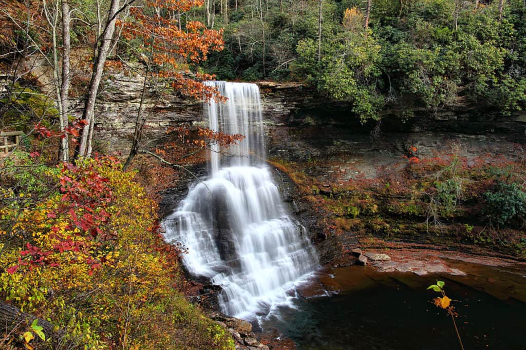
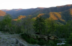
Cascades Falls is a stunning
waterfall
walk in Southwest Virginia that should be on your list of picturesque hikes to do
©ForestWander / Creative Commons – License
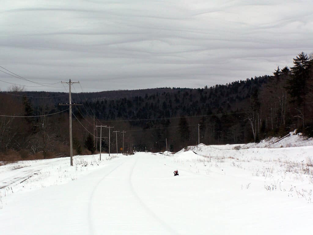
Spruce Mountain
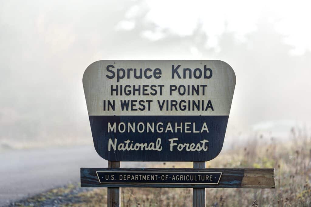
Spruce Mountain is probably the most well-known mountain in West Virginia because it’s the tallest mountain in the state.
©Kristi Blokhin/Shutterstock.com
Located in: Monongahela National Forest
Height: 4,863 feet
Nearby City: Seneca Rocks
Known For: Spruce Mountain is probably the most well-known mountain in West Virginia because it’s the tallest mountain in the state. There is a public observation tower at the summit of the mountain where you can see expansive views. The summit is easy to get to because there is a paved road that vehicles can travel on that will get you most of the way to the top. From the parking area, it’s a very short walk on a paved road with not much incline to the tower. The observation tower can get a little crowded. If you take the Whispering Spruce Trail from the summit it will lead you on a short half-mile loop around the entire summit of Spruce Mountain and you will get even better views without having to crowd into the observation tower.
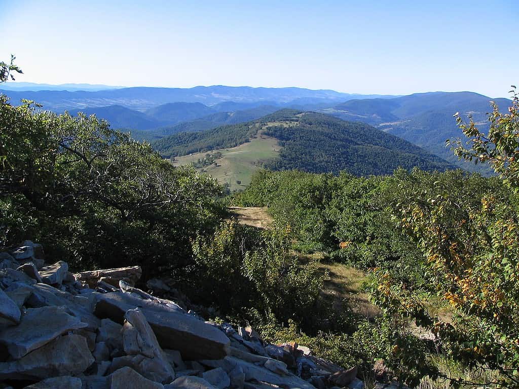
Roaring Plains Wilderness includes Mount Porte Crayon, which is still a little wild and mysterious.
©Dogwood123 / CC BY-SA – License
Mount Porte Crayon
Located in: Roaring Plains Wilderness
Height: 4,770 feet
Nearby City: Dryfork
Known For: The area around Mount Porte Crayon has been the focus of the advocacy group The Nature Conservancy, which has been turning large portions of that land into a protected wilderness. That’s appropriate for this mountain which is still a little wild and mysterious. Unlike Spruce Mountain which has a lot of focus on tourists and gentle hiking Porte Crayon attracts mostly serious hikers who want to experience nature and mountain views without a lot of company. The hike to the summit of Mount Porte Crayon can be difficult because there is some tough terrain to travel through.
But the real challenge on this mountain is the weather. Often the summit is shrouded by gray mist and clouds. And the weather can change from one extreme to another very quickly. Hikers attempting to take on this mountain should be ready for any kind of weather to make sure they are safe.
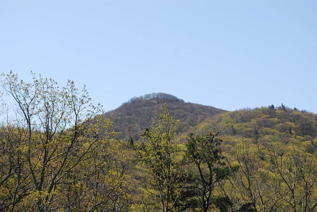
Shavers Mountain
Shavers Mountain is a little more remote than some of the other tall peaks in
West Virginia
.
©Brian M. Powell (user Bitmapped on en.wikipedia) / Creative Commons – License
Located in: Monongahela National Forest
Height: 4,432 feet
Nearby City: Bowden
Known For: Like several other mountains in West Virginia Shavers Mountain is really part of a series of peaks that are all grouped together. This is a feature unique to West Virginia because of the way that the hills and peaks of the Appalachian Mountains lay within the state. Shavers Mountain is a little more remote than some of the other tall peaks in West Virginia. The entire set of peaks that are part of Shavers Mountain lies between the Gaudineer Scenic Area and the Otter Creek Wilderness Area. That makes this area a fantastic destination for a hiking or camping destination. There are lots of trails that are appropriate for hikers of all ages and abilities.
If you’re hiking to the summit of Shavers Mountain you can take the Shavers Mountain Trail to the Green Mountain Trail. Combining the two trails will give you a lovely loop around the summit and back down the mountain. You can also take the Shavers Mountain Trail to the summit and back.
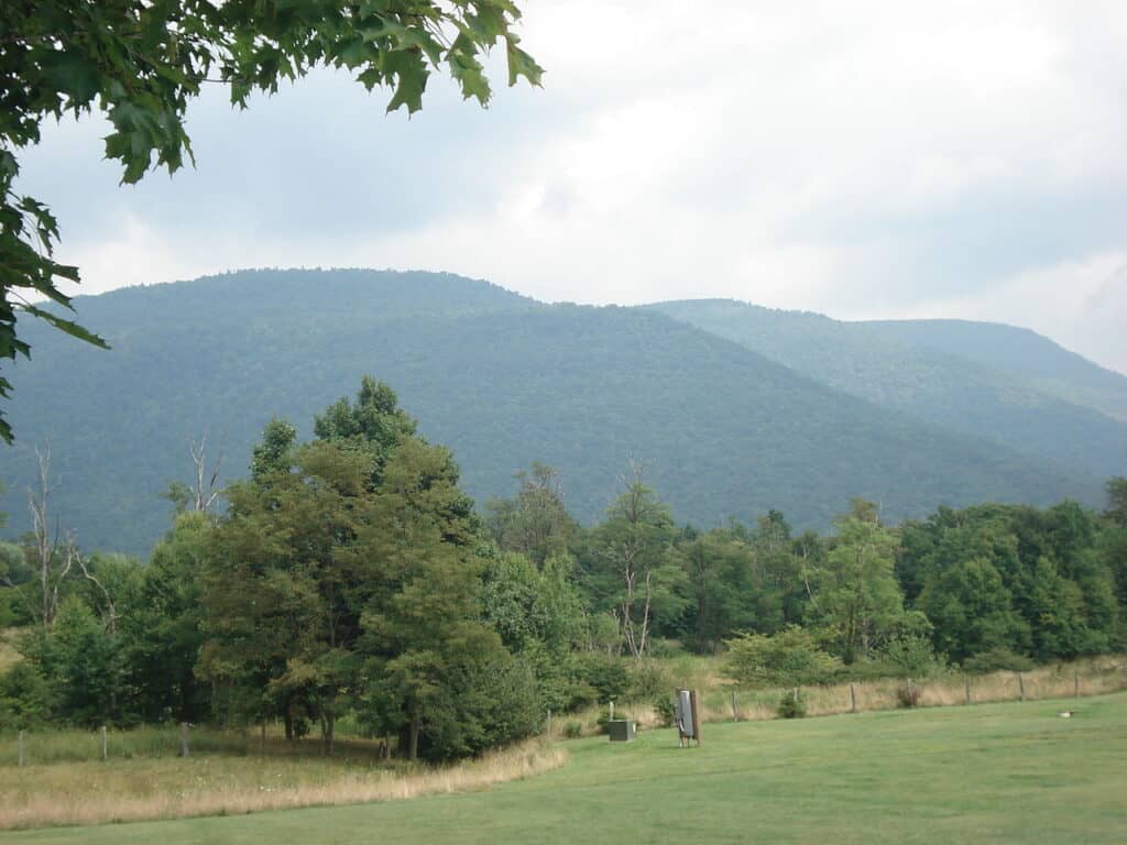
Cheat Mountain
The Cheat Mountain area and the Monongahela
National Forest area are popular
camping and hiking destinations in the summer months.
©Brian M. Powell (user Bitmapped on en.wikipedia) / Creative Commons – License
Located in: Monongahela Forest
Height: 4,848 Feet
Nearby City: Elkins
Known For: Cheat Mountain is known for having most of the remaining old-growth spruce forest in West Virginia. Most of the spruce forests in West Virginia have been either cut down or they have been destroyed by weather and disease. There are almost 40,000 acres of old-growth spruce remaining in West Virginia and almost all of those trees are found on or around Cheat Mountain. Cheat Mountain is also famous for being the coldest and snowiest peak in West Virginia. If you want to hike this mountain you will need to do it between May and September if you want to avoid bad weather.
The Cheat Mountain area and the Monongahela National Forest area are popular camping and hiking destinations in the summer months. You can bike, hike, kayak, and canoe in the Monongahela Forest area.
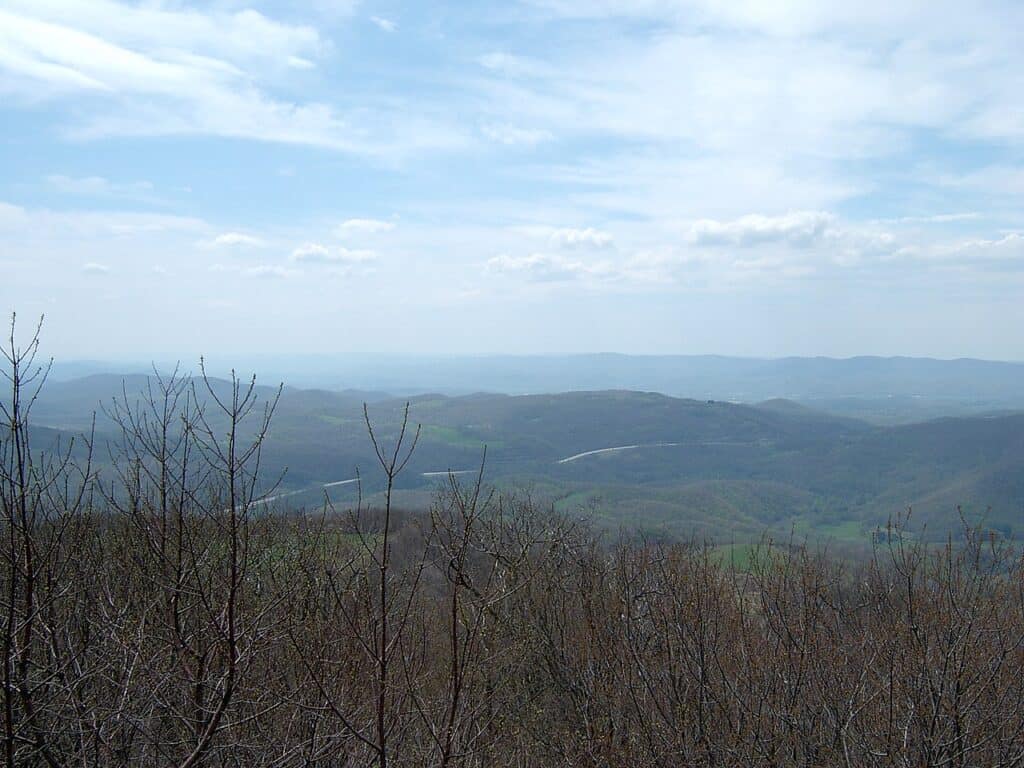
Shenandoah Mountain
From the summit of Shenandoah Mountain, you can see some truly spectacular views, especially in the fall when the leaves on the trees are changing colors.
©Brian M. Powell (user Bitmapped on en.wikipedia) / Creative Commons – License
Located in: George Washington National Forest
Height: 4,397 feet
Nearby City: Franklin
Known For: Shenandoah Mountain is one of the most beautiful mountains in West Virginia. It actually sits partially in Virginia and partially in West Virginia and it’s right at the entrance to the famous Shenandoah River Valley. From the summit of Shenandoah Mountain, you can see some truly spectacular views, especially in the fall when the leaves on the trees are changing colors. Most of the mountain is covered in huge trees and there are acres of forest in the valley floor below the mountain. There are currently plans by non-profit groups to get the land around the mountain declared to be protected wilderness land to save it.
Hiking to the summit of Shenandoah Mountain takes most hikers two days but there is a great stopping point about eight miles up at Bald Knob. From Bald Knob it’s another nine miles or so to the summit. Because the mountain is mostly forest and there is a bit of an incline most hikers take two days to get to the summit even if they are experienced hikers. There is a shorter version of the trail to the summit for hikers that would rather do a short day hike.
North Fork Mountain
North Fork Mountain’s stunning views start as soon as you hit the trail and they just don’t stop.
©Wyatt Greene / Creative Commons – License
Located in: Allegheny Mountains
Height: 4,588 feet
Nearby City: Riverton
Known For: North Fork Mountain is widely regarded as having the best views of any mountain hike in West Virginia. The stunning views start as soon as you hit the trail and they just don’t stop. Accessing the trail is easy. There is parking off of Route 33 where you can leave a vehicle and pick up a trail that will start the journey up the mountain. There are many lookouts and switchbacks all along the trails to the summit so that you can stop and enjoy spectacular views all along your hike. The trail runs about 20 miles to the summit of North Fork Mountain and all along the ridge it sits on. That’s a long trek for most hikers but there are lots of camping areas along the ridge where you can stop for the night when you’re ready to call it a day.
Backbone Mountain
If you want to hike from West Virginia traveling along the Backbone Ridge look for the Hoye Crest Trail.
©Famartin / Creative Commons – License
Located in: Allegheny Mountains
Height: 3,662 feet
Nearby City: Parsons
Known For: Backbone Mountain in West Virginia is also called “the Devil’s Backbone” because of the shape of the ridges that make up this part of the Alleghany mountain range. It’s a popular spot for hiking and it’s very easy to access. Trailheads are accessible from Centennial Park which is right off Route 19. Centennial Park has great views through the valley below the mountain but for the best views you need to hike to the summit of Backbone Mountain. If you want to hike from West Virginia traveling along the Backbone Ridge look for the Hoye Crest Trail. It can be hard to see but there will be a red HP painted on trees along this trail.
Back Allegheny Mountain
A word of caution about hiking on Back Allegheny Mountain: Many hikers report that the trail is not well marked at the summit and it’s easy to lose the trail unless you’re looking hard for it.
©Valerius Tygart / Creative Commons – License
Located in: Monongahela National Forest
Height: 4,843 feet
Nearby City: Bowden
Known For: Back Allegheny Mountain is most well known for its unique shape of the mountain. It’s part of a range of peaks like many other mountains in West Virginia. But this mountain has a sheer stone face that’s 20 miles long. The entire mountain covers 75 square miles. It’s a popular area for hiking all year long and skiing and snowmobiling in the winter. One of the most popular trails to the summit of Back Allegheny Mountain is the Alleghany Mountain Trail. This trail runs for about 15 miles out and back. The Horton Trail is also a popular one, especially with birders.
A word of caution about hiking on Back Allegheny Mountain: Many hikers report that the trail is not well marked at the summit and it’s easy to lose the trail unless you’re looking hard for it. You may want to bring a trail map and a GPS to make sure that you stay on course.
Bickle Knob
Bickle Knob is one of the few elevations where you can get an amazing view of the Monongahela National Forest from above.
©Edward Bodnar/Shutterstock.com
Located in: Otter Creek Wilderness
Height: 4,000 feet
Nearby City: Elkins
Known For: Bickle Knob is one of the few elevations where you can get an amazing view of the Monongahela National Forest from above. Birdwatching is very popular on Bickle Knob and so are hiking and biking. Hike up to the old Bickle Knob Observation Tower and you will be treated to stunning panoramic views of the forest. If you really want to make the most out of your visit go during the fall. When the forest is bursting with yellows, crimsons, and browns it’s a truly spectacular sight. The Observation Tower is open every day during most of the year although it does close in the winter.
Great North Mountain
Most hikers take two days to get to the summit of Great North Mountain because it’s a long hike up.
©Famartin / Creative Commons – License
Located in: Appalachian Mountains
Height: 2,805
Nearby City: Wardensville
Known For: Great North Mountain is the primary border between Virginia and West Virginia. So, if you’re hiking along the 50 miles ridge you will likely be moving in and out of both states depending on what trails you take. The hike can be strenuous until you get to the summit. But after you hit the summit and start to move across the ridge it’s easier. Most hikers take two days to get to the summit because it’s a long hike up. The Falls Ridge Trail is the most accessible route to the top. However, you should take the time to veer off to the Falls Run Waterfall Trail and see the waterfall. It’s really stunning.
10 Tallest Mountains In West Virginia
- Spruce Mountain
- Cheat Mountain
- Back Allegheny Mountain
- Mount Porte Crayon
- Yew Mountain
- North Fork Mountain
- Allegheny Mountain
- Shavers Mountain
- Shenandoah Mountain
- Backbone Mountain
Highest Point In West Virginia
Spruce Mountain -4863 feet
Up Next
- 10 Snakes in the Blue Ridge Mountains
- 7 Deadliest Mountains in the United States
- How Old Are the Appalachian Mountains?
The photo featured at the top of this post is © ForestWander / Creative Commons – License / Original
How to Add Us to Google News


FAQs (Frequently Asked Questions)
What mountain range makes up all of West Virginia's mountains?
West Virginia is one of the few states that lays entirely within a mountain range. All of West Virginia is part of the massive Appalachian Mountain chain.
What is the tallest mountain in West Virginia?
Spruce Mountain is probably the most well-known mountain in West Virginia because it’s the tallest mountain in the state.
Thank you for reading! Have some feedback for us? Contact the AZ Animals editorial team.