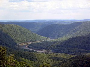
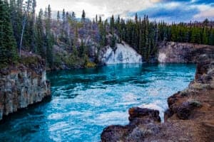
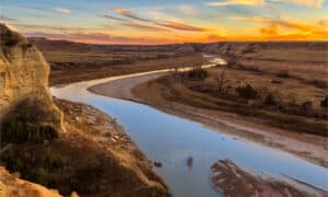
England is a country within the larger United Kingdom alongside Scotland, Wales, and Northern Ireland. With a long past, it has earned its place in the history books. The country has massively contributed to literature, art, science, music, and religion. England is also famous for its beautiful countryside, lakes, and rivers. The United Kingdom contains roughly 1,500 rivers. Some of the most beautiful and historic of these are located in England. Read on to learn more about England’s lovely rivers.
1. River Thames
The River Thames is England’s longest river, running for 215 miles. It spans from its source at Thames Head to the Thames Estuary in the southeastern corner of Great Britain. It eventually drains out of the Atlantic Ocean via the English Channel and the Norwegian Sea. While the depth of the river changes from location to location, its maximum depth is only 66 feet. Surprisingly, this makes the River Thames the deepest river in all of the United Kingdom.
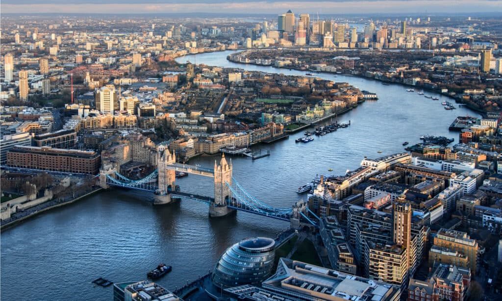
This river’s course is long enough that a national trail has been established alongside it.
©Csaba Peterdi/Shutterstock.com
The course of the River Thames is long enough that a national trail has been established alongside it. The Thames Path National Trail begins in southwestern England at the Cotswolds and continues for 185 miles. It weaves through big cities and countryside alike before ending in the southeast district of Woolwich. It is an easily traversable path for all ages. The path can be done in parts. However, if you desire to walk the trail in its entirety, it takes about two weeks.
There are plenty of sightseeing opportunities along the River Thames. Be sure to stop at the famous British bridges, such as London Bridge, Waterloo Bridge, Tower Bridge, and Millenium Bridge. The Thames has more than 25 species of fish, including bream, carp, pike, perch, chub, gudgeon, and sole. Boating, kayaking, rowing, and canoeing on the river are all common activities. With 45 locks and multiple moorings and docks, more than enough places exist to enter and exit the water.
2. River Trent
The River Trent is the third-longest river in the United Kingdom. It runs for 185 miles from the Staffordshire countryside before converging with the River Ouse at Trent Falls. It continues all the way to the Humber estuary above the North Sea. This river is distinguished by its uncharacteristic flow; no other river in Britain flows north. It’s also known for its use in trade and transport.
It has a depth range of 2-9 feet and still uses many of its waterways and canals. Examples include the Foss Dyke, the Sheffield and Tinsley Canal, and the South Yorkshire Navigation Canal. The Trent River is also used to transport large quantities of oil from the port city of Kingston. This continues its tradition as the most-used trading river in the United Kingdom.
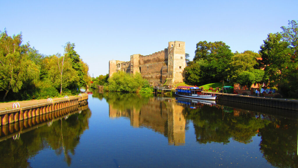
This river is distinguished by its uncharacteristic flow; no other river in Britain flows north.
©Yvonne Robb/Shutterstock.com
There are 42 tributaries that branch off from the River Trent, including the Soar, Tame, Dove, and Derwent Rivers. The Trent is also home to 70 bridges and an assortment of ferries and crossings. The most famous of these is the one-mile-long Swarkenstone Bridge, built in the 1200s. It is still the longest bridge in England.
Those wishing to fish along the River Trent will be pleased to find more than 30 fish species. A handful of these are bream, perch, carp, salmon trout, sturgeon, chub, lamprey, and eel. Two popular fishing spots are the Rolleston Fishery and the Fiskerton Fishery, both located in Nottingham.
3. River Severn
The River Severn is the longest river in the United Kingdom at 220 miles long. It flows from the peat bogs of the Plynlimon Mountains to the Severn Estuary. From there, the river connects to the Celtic Sea before emptying into the Atlantic Ocean. Along the way, it passes through the counties of Gloucestershire, Worcestershire, Powys, and Shropshire.
The Severn is known for the intensity of its tidal bore. This term describes a counter-current wave that flows up a river where it meets the sea. The tidal bore of the Severn River has reached heights of 50 feet, which makes it the tallest in the United Kingdom and the third-tallest in the world. This makes the Severn a common attraction for surfboarders looking to catch a unique ride on world-record waves. The depth of the River Severn varies from point to point. It ranges anywhere from 6 inches (in drought conditions) to 50 feet (during a tidal bore).
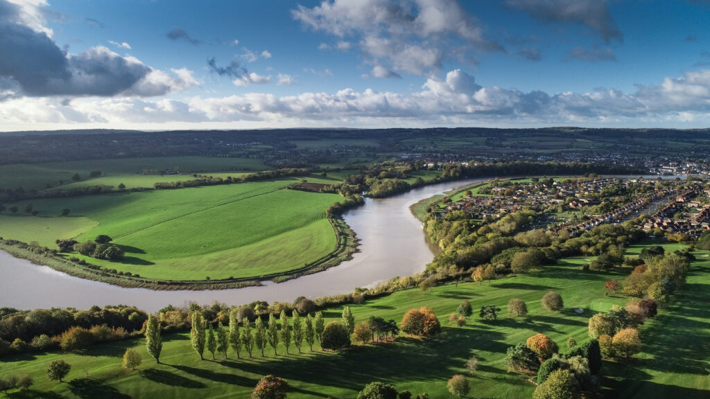
The tidal bore of the Severn River has reached heights of 50 feet, which makes it the tallest in the United Kingdom.
©Ian Luck/Shutterstock.com
During the Industrial Revolution, the River Severn served as a quick and convenient means of transport. Shipments of iron and coal traveled between the Midlands and the Bristol Channel. Coalville and Ironbridge, two appropriately named industrial villages in Britain, were largely responsible for helping to make the River Severn one of the most used rivers in Europe during the 1600s.
Today, canoers, boating enthusiasts, and tourists use the river for recreation. The River Severn is home to many species of fish, including common carp, common bream, European perch, European chub, brown trout, and Atlantic salmon.
4. River Mersey
The River Mersey finds its headwaters at Stockport in Greater Manchester, England. The river continues on for 70 miles until it reaches the Irish Sea in the coastal town of Liverpool. The Mersey is formed by the confluence of three smaller rivers, the Tame, the Etherow, and the Goyt. The river has a maximum depth of about 100 to 150 feet.
The River Mersey is famous in popular culture for being the namesake of Merseybeat, a genre of music that arose in 1960s Liverpool. It describes bands such as The Beatles, Rory Storm and the Hurricanes, and Gerry and the Pacemakers.
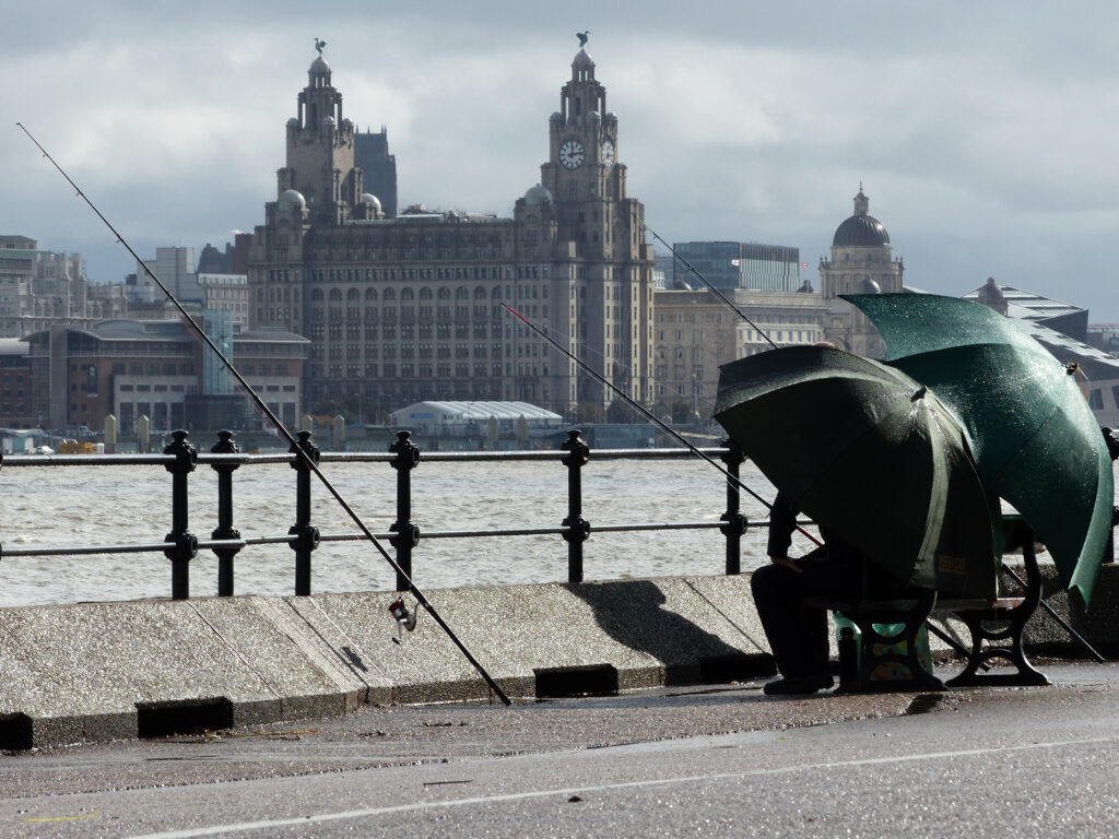
If you are looking to fish the River Mersey, you are likely to find several species, like
flounder
, bass, and cod.
©TimmyTwoTone/Shutterstock.com
In its original Anglo-Saxon, the word “Mersey” means “boundary river,” which is a fitting name. The river has served as the dividing line between the Northumbria and Mercia kingdoms, as well as the modern-day towns of Liverpool and Birkenhead. The Mersey has also been an important facilitator of trade, providing easy access for the transport of goods.
A long history of military transport, trading, and general industrial growth polluted the River Mersey. However, some species have been making a comeback as oxygen levels increase and conditions improve. If you are looking to fish the River Mersey, you are likely to find several species. Catching flounder, bass, cod, and dab are common occurrences. Anglers even occasionally spot congor eel and silver eel.
5. River Tyne
The River Tyne is a 73-mile-long river that forms from the confluence of the North Tyne and the South Tyne. The headwaters of the River Tyne start in the northwest of England in the county of Cumbria. The North Tyne flows from Cheviot Hills on the English-Scottish border, while the South Tyne begins in the Pennines Mountains. The River Tyne meets the North Sea in the coastal village of Tynemouth. This river has an average depth of roughly 14-15 feet. The river largely transported coal shipments for six centuries between the 1200s and the 1700s.
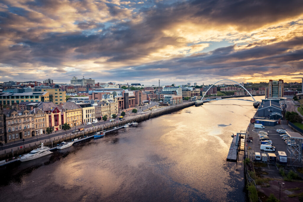
Beautiful River Tyne holds the distinction of being one of the least polluted rivers in England.
©SAKhanPhotography/Shutterstock.com
The River Tyne is one of the least polluted rivers in England. This is an impressive feat, considering the country is widely recognized as the birthplace of the Industrial Revolution. The Tyne also flows under 22 bridges, including some of the more popular bridges in England. The Gateshead Millenium Bridge (the first tilting bridge in the world) and the Tyne Bridge in Newcastle are examples.
The Tyne also has a reputation as the best spot for salmon and sea trout fishing in England and Wales. The official season begins as early as February, with the most opportune fishing conditions in May through October. The River Tyne is also home to several other species, including brown trout, roach, chub, grayling, dace, and gudgeon.
6. River Great Ouse
Starting in Wappenham in Northamptonshire, the River Great Ouse is one of several rivers in Britain with the name “Ouse.” The others are the River Little Ouse and two additional rivers of distinct lengths, both named the River Ouse. They run through separate parts of eastern England; one through Yorkshire and one through East Anglia. The River Great Ouse flows for 143 miles across England before emptying into The Wash, an estuary/bay on the east coast that drains into the North Sea. The word “Ouse” comes from the Celtic term for water, usa.
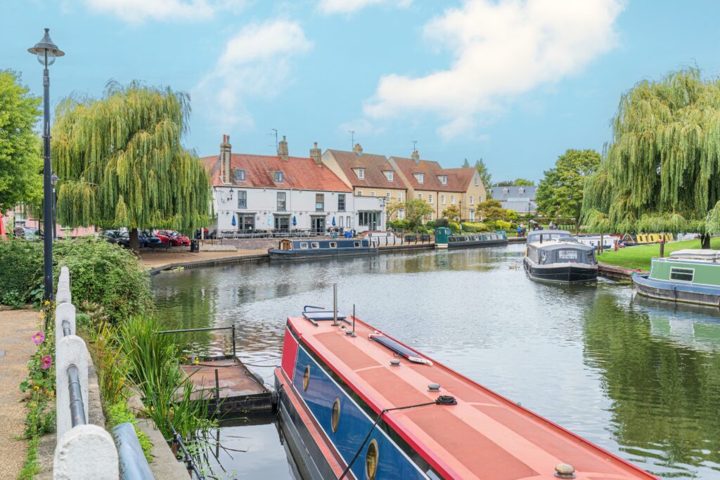
A large part of the River Great Ouse has been altered by human intervention, such as sluice gates, dikes, and dams.
©Gordon Bell/Shutterstock.com
The River Great Ouse has an average depth of 4-5 feet. A large part of the river’s path has been altered by human intervention, such as sluice gates, dikes, and dams. With the help of these man-made structures, the river flows across six counties through more than 15 towns. These include Buckingham, Stoney Stratford, Great Barford, St Neots, St Ives, Hemingford Grey, and King’s Lynn. In addition to its expansive route, the River Great Ouse also spawns a number of tributaries. The River Lark, River Cam, River Babingley, River Kym, and the River Ivel all extend from the River Great Ouse.
With such a considerable span, there are many opportune spots for fishing. Some of the prevalent species along the River Great Ouse are carp, bass, grey mullet, stone loach, barbel, and bullheads.
7. River Ure
The River Ure is a 74-mile-long river that springs from the Ure Head on Abbotside Common. It flows until it meets the River Ouse at Cuddy Shaw Reach near North Yorkshire. Along the way, the River Ure spawns a few tributaries, most notably Bishopdale Beck and the Rivers Burn, Skell, Laver, Bain, and Cover.
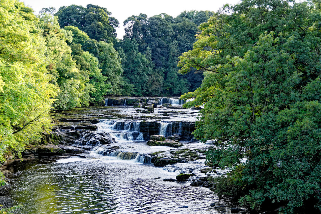
This river is unique in that most of the animals found in and around it are on Britain’s endangered species list.
©Ion Mes/Shutterstock.com
The River Ure is unique in that most of the animals found in and around it are on Britain’s endangered species list. White-clawed crayfish, otters, and water voles are a few. For interested anglers, there are plenty of grayling, perch, wild brown trout, river lamprey, barbel, pike, roach, and Atlantic salmon. Many species thrive alongside the River Ure, especially red foxes, rabbits, oystercatchers, roe deer, golden plovers, badgers, and curlews.
The River Ure is a great location for white water rafters, specifically along the segment from Ripon to Linton. While it contains a wide range of difficulty levels, most of the river is advisable only for advanced rafters.
8. River Wye
The River Wye flows for 155 miles from its source at Plynlimon in the Cambrian Mountains. Its path is similar to that of the Severn River, flowing to the Severn Estuary and into the Irish Sea. The River Wye passes many English cities, such as Hereford, Hay-on-Wye, Chepstow, and Ross-on-Wye. It even serves as a partial natural border separating Wales from England. The Wye is also the fourth-longest river in the United Kingdom.
Concerning the etymology of the name Wye, there are several different hypotheses. The word could derive from Brythonic gwyr, which is interpreted as “crooked hills.” Others instead suggest Old English wæg, meaning “wave.” The Wye was much later given a Latin name, Vaga, an adjective meaning “wandering.”
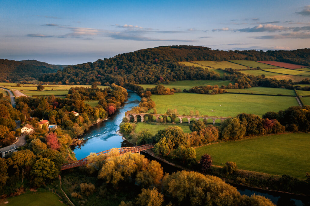
The River Wye has gathered the accolade of Britain’s favorite river of 2010.
©steved_np3/Shutterstock.com
The River Wye has also gathered the accolade of Britain’s favorite river of 2010 and runs adjacent to the Wye Valley Area of Oustanding Natural Beauty. This land is a nationally-recognized conservation area that caters to cyclists, sailors, and nature enthusiasts. Other areas to visit along the River Wye include the Wye Valley Railway and the village of Hereford. The latter is known for its yearly festival of books and its famous castle from the Middle Ages.
The Wye has also been lauded for its salmon fisheries (though populations are largely diminished), such as the Moccas Fishery. Other species commonly caught on the River Wye include three-spined stickleback, grayling, large chub, dace, silverfish brown trout, stone loach, and gudgeon.
The photo featured at the top of this post is © iStock.com/Alexey_Fedoren
Thank you for reading! Have some feedback for us? Contact the AZ Animals editorial team.


