
People come from all over the country to ski and climb California’s mountains. While some mountains are popular for recreation, others are just obstacles that separate one part of the state from another. The various mountain ranges that divide this state have resulted in some of the most challenging roadways in America. Discover the steepest highway in California, see how it compares to other roadways in the state and beyond, and find out why drivers must be extra careful!
How to Measure Road Steepness
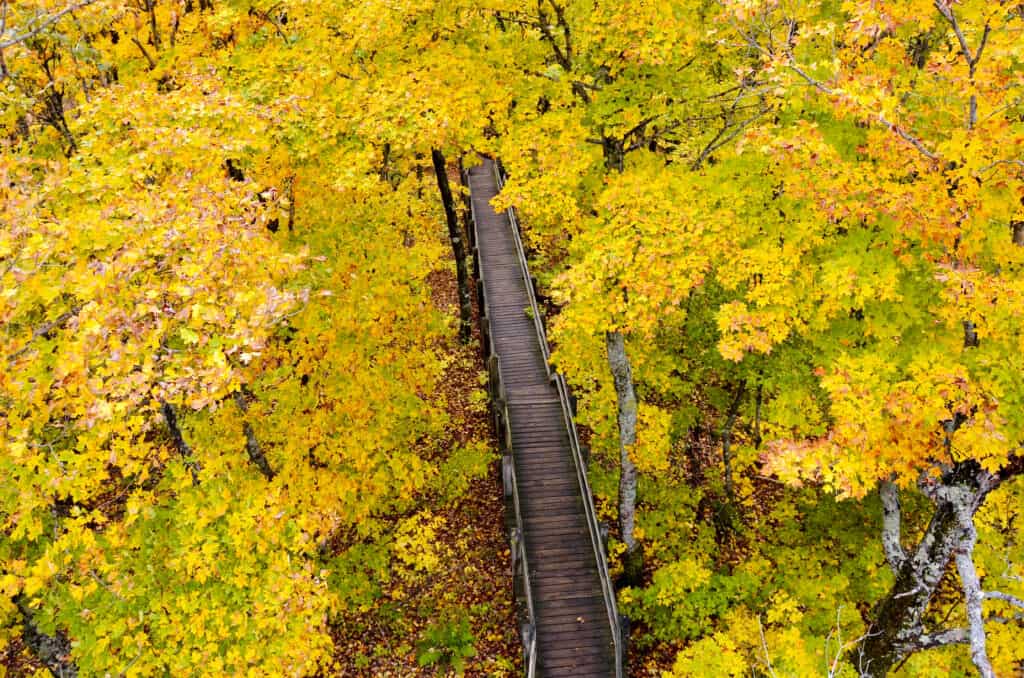
Steepness refers to the distance traveled vertically over a horizontal distance.
©PQK/Shutterstock.com
Before we look at the steepest highway in California, it’s important to mention how to measure a road’s steepness. Measuring the percentage of a slope is a matter of dividing the vertical gain (rise) by the distance traveled (run). To turn this into a slope percent, the resulting number from that calculation must be multiplied by 100.
If a road gains 500 feet in altitude throughout 2,000 feet, then the resulting slope is 25%. This overview of simplistic slope calculations should provide enough information to help visualize the steepness of various roads.
What is the Steepest Highway in California?
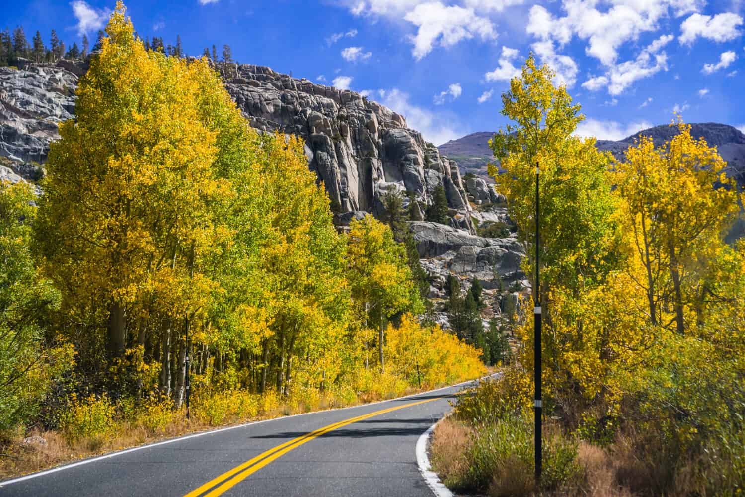
Sonora Pass is the steepest part of California State Route 108.
©Sundry Photography/Shutterstock.com
The steepest highway in California is State Route 108, a roadway with a maximum grade of 26% in some locations. State Route 108 runs from Route 305, travels through the Sierra Nevada Mountains and terminates near Modesto, California. The highway runs for a total of about 120 miles, and it’s not for the faint of heart.
The steepest and most challenging part of the highway is called the Sonora Pass. The majority of the steeper parts of the highway have at least an 8% grade. However, the mountain pass has a few extremely dangerous parts where the steepness vastly increases, including the portions that have a grade of about 26%. The steepness is not the only challenging aspect of driving on this road.
The Sonora Pass has many twists and turns which force drivers to move slowly and carefully to stay safe. The elevation in the region reaches 9,628 feet, so a mistake while driving can be troublesome if not fatal. The beautiful sights that people encounter on the Sonora Pass on Route 108 reward travelers. The mountain drive is rife with picturesque natural beauty.
Still, the steepest highway in California is not merely a place that can give drivers sweaty palms. This road can be deadly. Many people have died trying to traverse the Sonora Pass on State Route 108. Sometimes, people drive too fast, or they’re simply not prepared for the difficulty of maneuvering in a mountain pass. Other times, people bring vehicles, like box trucks, which are more challenging to handle than a typical vehicle. As a result, they may crash into other vehicles or obstacles on the mountain pass.
Why Do People Travel on State Route 108?
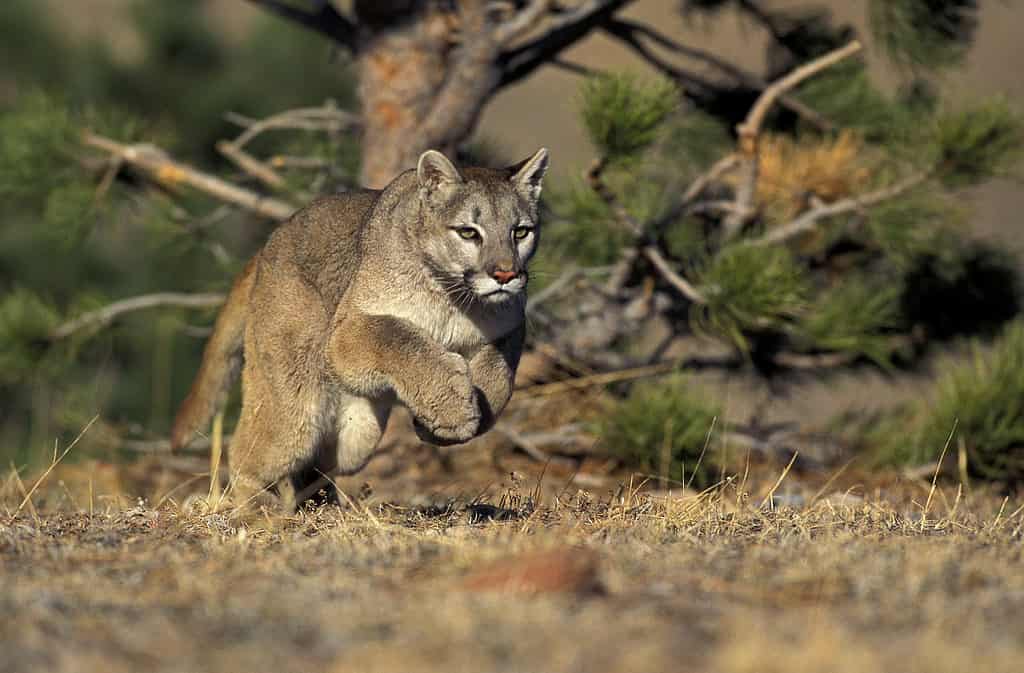
The Sierra Nevada Mountains are home to many interesting animals.
©iStock.com/slowmotiongli
Given the danger of traveling through the Sierra Nevada Mountains, one may wonder why people travel over the Sonora Pass on State Route 108 at all. For one thing, the pass cuts down on the amount of time required to travel from Modesto to places like Bridgeport or other areas near the border of Nevada. People are always looking for the best ways to cut down on travel time. That’s especially true in a place like California where landslides can block some passages for days.
Yet, some people travel along State Route 108 to reach areas where they can hike. The Sonora Pass provides great insertion points for hikers looking to experience a challenging, gorgeous hike through the Sierra Nevada Mountains. People that hike in these mountains can see a variety of animals such as:
- Sierra Nevada red fox
- Pollen wasps
- Mountain lions
- Coyotes
- Marmots
- Red-tailed hawks
However, the steepest highway in California is not always open. For the most part, the Sonora Pass is closed between November and May due to the heavy snowfall that strikes this part of California. The pass is hard enough to traverse when the conditions are perfect. Allowing people to drive over these mountains in winter would result in even greater numbers of accidents and distress calls.
What Are Other Steep Roads in California?
California is a rather mountainous state. As a result, the region has many very steep roads. In fact, California is home to some of the steepest roads in the United States. For example, 28th Street located in San Pedro, a neighborhood of Los Angeles, has a grade of 33.3% between Gaffey Street and Peck Avenue.
Yet, that extremely steep portion of the road only runs for about 50 feet. Eldred Street in Los Angeles has a 33% grade, and the road runs for a longer distance. The road is so long and challenging to navigate that the people who live on the street have their mail delivered to mailboxes located at the bottom of the hill.
Rounding out the top three steepest streets in California is Baxter Street in L.A. Between Allesandro and Alvarado Streets, the road reaches a 32% grade.
While San Francisco is often recognized for its very steep roads, Los Angeles actually has the steepest ones in California.
What is the Steepest Highway in the United States?
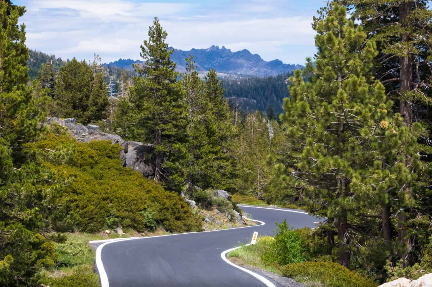
Highway 4 is the second-steepest highway in California.
©N8Allen/Shutterstock.com
State Route 108 is the steepest highway in the United States. The second-steepest highway in the United States is State Route 4 in California, a roadway that runs from Hercules to Markleeville. The steepest part of this roadway is Ebbetts Pass. This pass has a maximum grade of about 24%, just 2% less than Sonora Pass.
This highway is interesting because of its proximity and similarity to Route 108. Route 4 runs parallel to parts of Route 108 with just about 10 miles separating them on their westernmost portions. This road has amazing views and also closes during the winter because of the potentially dangerous weather that strikes the area.
California features some of the steepest roadways in America. The steepest highway in California is a white-knuckle journey across a mountain pass that is certainly not for everyone. Still, anyone that makes the journey to this region can appreciate the incredible beauty available in the region. Hikers, travelers, and photographers can all find something to love in this mountain range.
Where is State Route 108 Located on a Map?
California’s State Route 108 runs east to west above Yosemite National Park. It is east of Stockton, stretching from Sonora to Sonora Junction near the Nevada border. It is a total of 120 miles and is also part of the Stanislaus National Forest.
The photo featured at the top of this post is © iStock.com/Sundry Photography


How to Add Us to Google News


Thank you for reading! Have some feedback for us? Contact the AZ Animals editorial team.