
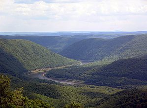
The Colorado River watershed is divided into an Upper Basin and a Lower Basin, and it contains seven states. The Upper Basin encompasses parts of the states of Colorado, New Mexico, Utah, Wyoming, and Arizona. What is the Upper Colorado River Basin Compact of 1948, and why is it important?
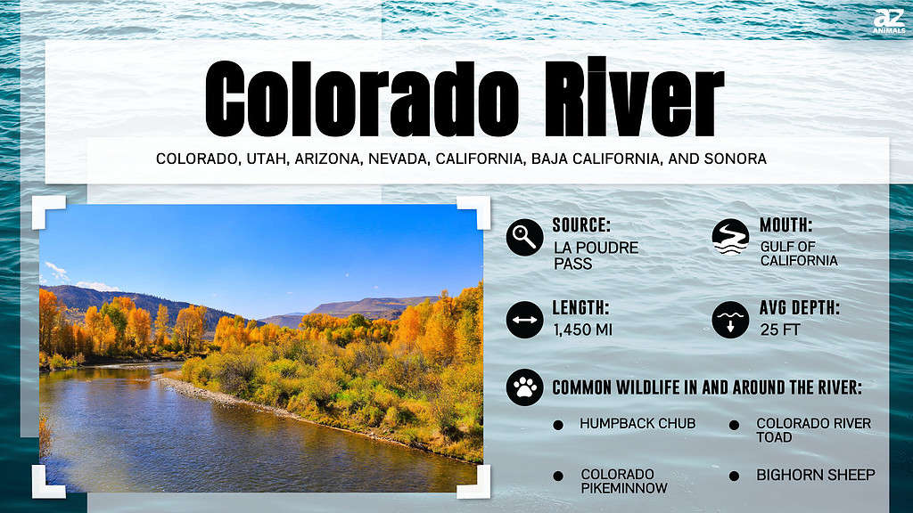
The Colorado River is an essential resource to the United States and Mexico. It provides water to around 40 million people in both countries, and seventy percent of that is used for agriculture. Since it’s such a prized resource in an arid part of North America, meticulous rules must exist so the water is allocated properly.
What is the Upper Colorado River Basin Compact of 1948? Why is it important? We’ll take a look now.
What is the Upper Colorado River Basin Compact of 1948?
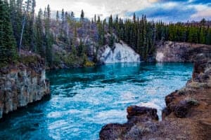
The Colorado River Compact is an agreement between the Upper Basin states about how much water they’re allowed to keep from the Colorado River. It also created the Upper Colorado River Commission, which continues to monitor the water collected in the Upper Basin and released to the Lower Basin states. This compact was made on October 11, 1948.
Certain percentages of leftover water after Lower Basin allocation are established in the Upper Colorado River Basin Compact. The states of the Upper Basin were promised the following percentages of remaining water:
- Wyoming: 14%
- Colorado: 51.75%
- Utah: 23%
- New Mexico: 11.25%
Since the Upper Basin delivers ninety percent of the Colorado River’s water, these states must take into consideration the needs of their downstream neighbors in extenuating circumstances. Drought conditions are an example of such a circumstance. In turn, if the Upper Basin can’t supply the necessary water resources without damaging its state, the new commission is expected to work on an interstate solution.
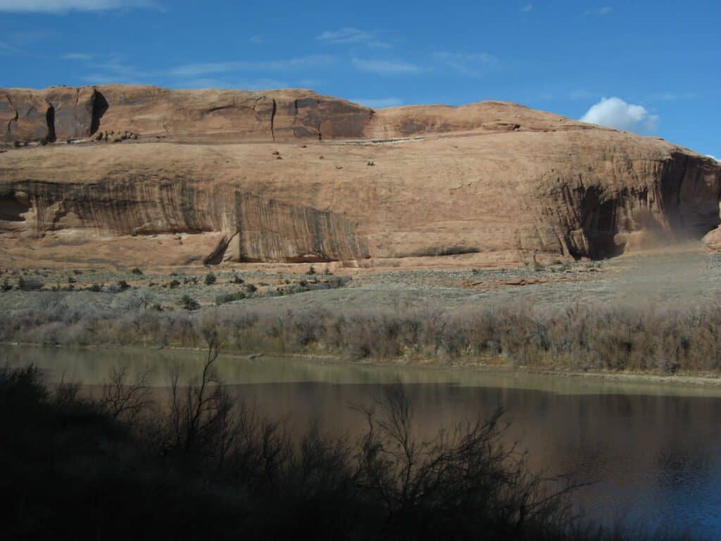
The Colorado River Compact is an agreement between the Upper Basin states about how much water they can keep from the Colorado River.
©Ken Lund / Flickr – License
Why is the Upper Colorado River Basin Compact of 1948 Important?
The Colorado River Basin Compact of 1948 was important because it established how much water the Upper Basin states kept while also meeting the needs of the Lower Basin states. This was vital so faster-growing states didn’t hog all of the water before other states could develop. The amount of water that the Lower Basin states are entitled to is established in the Colorado River Compact of 1922.
Lower Basin states include California, a majority of Arizona, and Nevada. Lower Basin water also supplies Mexico with its ration. The Upper Basin states, as a consequence of the 1948 Compact, keep a certain percentage of leftover water per state after the Lower Basin allocation.
There were concerns that the needs of the Lower Basin states may affect the current and future needs of the Upper Basin States. The established commission and agreements in the Colorado River Basin Compact of 1948 reserve enough water for agricultural and industrial growth in the Upper Basin. This Compact also addresses water distribution from some minor tributaries of the basin shared by states.
The Colorado River Basin Compact also addresses tribal water rights for the first time though not thoroughly. It puts the onus on the states in which the land is located to provide proper water resources to indigenous communities.
How Does the Upper River Basin Compact Affect Dams?
When a dam blocks river water in a state, the water contained by that dam comes out of the total allotment for that state. This specificity in the Upper River Basin Compact was pivotal in guaranteeing that states didn’t unfairly hoard water resources.
Water may be held by certain states for hydroelectric purposes. Just because the water is being held doesn’t mean that the said state generating power doesn’t have to deliver appropriate amounts of water downstream. This line of thinking was built upon and legally continued by the Colorado River Storage Project Act of 1956.
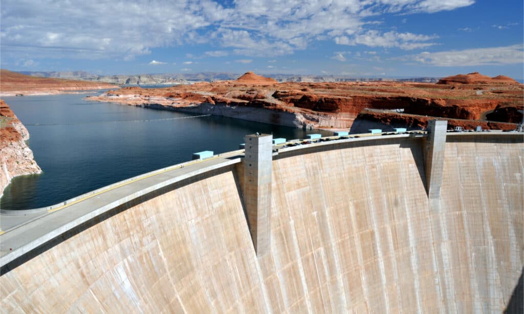
Hoover Dam provides hydroelectric power and irrigation water for much of the southwestern United States.
©Matej Hudovernik/Shutterstock.com
What is the Law of the River?
The Law of the River is a collection of laws, compacts, agreements, regulations, and other contracts dictating specific water rights to each state reliant on the Colorado River. Upper Basin states are specifically regulated so that Lower Basin states receive promised amounts of water.
The Law of the River as a whole is designed to make sure that the best interest of all seven states along the river is equally taken into consideration. It preserves the rights of the Upper Basin, where most of the river’s water is generated. Most of the demand exists in the Lower Basin, which is also guaranteed a certain amount of water.
Unfortunately, the current water allocations present in today’s law of the river overstretches water resources. On average, there is not enough water in the river to meet the needs of the seven affected states.
This is causing legal problems and water crises made worse by prolonged drought. The Upper Basin isn’t creating as much surplus water as in the past. The development in these Upper Basin states has tied up more legally promised water resources resulting in drastic water shortages downstream.
Lake Powell and Lake Mead are dangerously low though no drastic decisions have yet been forced into existence by this unfolding crisis.
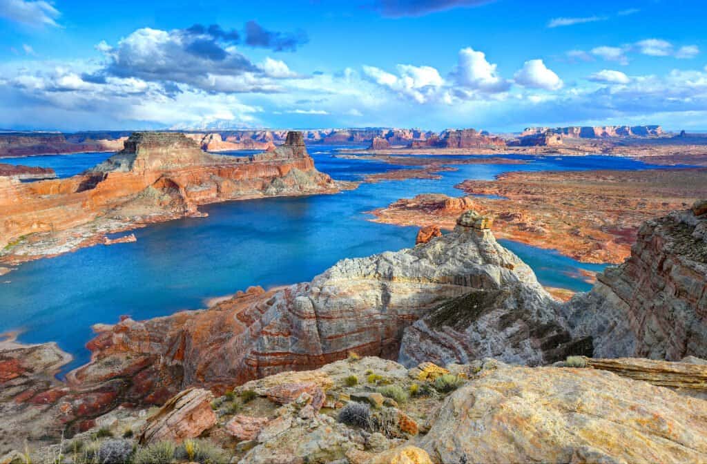
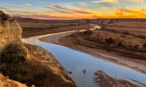
Lake Powell, a large reservoir on the Colorado River, is seeing drastically low water levels as a result of drought and increased water usage.
©worldswildlifewonders/Shutterstock.com
Why is Lee Ferry in Arizona Important to the Law of the River?
Lee Ferry, AZ, is important to the Law of the River because it is the dividing point between the Upper Basin and the Lower Basin. It is near the border between Utah and Arizona. It is also the point where water levels are recorded to help guarantee that the Lower Basin states are receiving promised amounts of water.
Water stages and flows are recorded by a stream gauge that has provided the most detailed records of water flow in the United States. Stream gages record data every 15 minutes so that the U.S. Geological Survey can interpret it. This allows them to monitor the constantly changing river water so they can determine exactly how it’s flowing and how high it is.
This site was chosen because, historically, it was used as a river crossing for the Colorado River. It’s one of the only points near the middle of the river that’s easily accessible on both sides.
The photo featured at the top of this post is © Simon Morris / Flickr – License / Original
Sources
- U.S. Department of the Interior, Available here: https://www.usbr.gov/lc/region/g1000/lawofrvr.html
How to Add Us to Google News


Thank you for reading! Have some feedback for us? Contact the AZ Animals editorial team.