
Continue reading for our analysis...
The Mississippi River flows for about 2,350 miles from Minnesota all the way down to Louisiana. The headwaters of the river start in a small lake in northern Minnesota, Lake Itasca, and empties into the Delta and the Gulf of Mexico! If you don’t have three months to paddle down the river yourself you can watch this video to watch a trip from the Mississippi headwaters to its delta in five minutes!
The video opens with a peaceful scene of Lake Itasca at sunrise. There is light fog floating across the lake as the camera pans across the small rock pile dividing the lake from the river’s start. This is the narrowest part of the Mighty Mississippi where you can actually walk across 20-30 feet. Lake Itasca State Park is also the home to the tallest White Pine Tree in Minnesota. You get to see a first-hand picture of the majestic tree.
Then you get a first-person view of kayaking down the river. First, through Crosby Farm Park in a flood in Saint Paul, MN, then on to St. Anthony Falls in Minneapolis. As the banjo music plays in the background you get a distance shot of Frontenac State Park as a turkey vulture flies across the view.
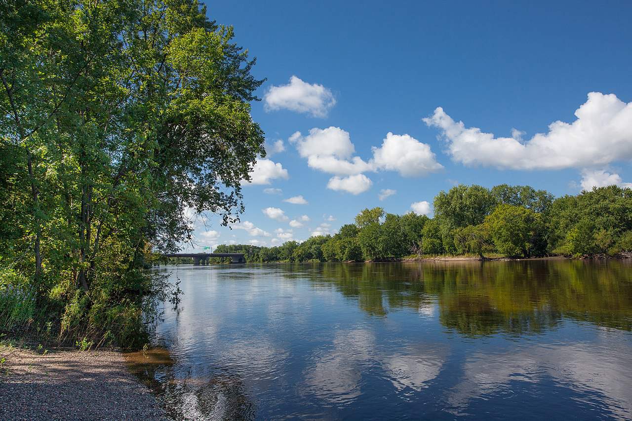
The Mississippi River is about 2,350 miles long.
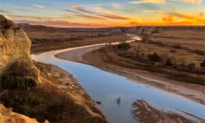
©iStock.com/Willard
Further down the Mississippi, in Prairie Island, MN, you see the moon shining over the river. The river crosses over the Minnesota border into Iowa with the Effigy Mounds National Monument in Harpers Ferry, IA. Nest you see an enormous barge floating past Lock & Dam 10 in Guttenberg, IA. According to the National Park Service, “Barges and their tows move approximately 175 million tons of freight each year on the upper Mississippi through a system of 29 locks and dams.”
As the river continues you see a train passing along the edge of the Mississippi in Hannibal, Missouri. Then the Eads Bridge in St. Louis comes into view. The Eads bridge spans 6,444 feet across the Mississippi. Did you know the widest part of the Mississippi River is 11 miles wide at Lake Winnibigoshish? Now that would be a long bridge if they ever built one.
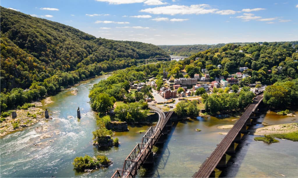
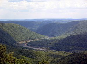
Harpers Ferry National Historical Park is featured in the video’s Mississippi River run.
©Zack Frank/Shutterstock.com
Next, you see where the Missouri River joins the Mississippi at the Missouri-Mississippi confluence. The Missouri River is actually longer than the Mississippi! The video continues along the highlights of:
- Wing Dam
- Clarksdale, Mississippi
- Vicksburg, MS
- Natchez, MS
- Cypress-Tupelo Swamp, Sky Lake Wildlife Management Area: Belzoni, MS
- Bonnet Carre Spillway in St. Charles, LA
- Oil refineries beside levee: New Orleans, LA.
Reaching New Orleans we know we are close to completing the Mississippi headwaters to its Delta and the end of the Mississippi, The video shows a helicopter flying above the Delta. A panoramic view of downtown New Orleans on the banks of the Mississippi shows a few barges circling the river in St. Bernard Port.
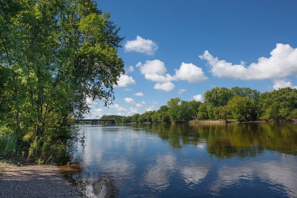
Mississippi National River and Recreation Area covers 54,000 acres of land.
©NPS/Gordon Dietzman / Public Domain – License
Before emptying into the Gulf of Mexico the Mississippi River flows by:
- Joyce Wildlife Management Area: Hammond, LA (Take the swamp walk to see bald eagles and osprey and note that “Alligators and a variety of other reptiles and amphibians are common on Joyce WMA.” So be prepared!
- Docville Farm: St.Bernard, LA
- Bayou Sauvage National Wildlife Refuge: St. Benard, LA.
The video began with sunrise at Lake Itasca and ended at sunset at the Bayou Sauvage National Wildlife Refuge in Louisiana just before the Gulf of Mexico, more than 2,000 miles!

How to Add Us to Google News


Thank you for reading! Have some feedback for us? Contact the AZ Animals editorial team.