
If you’ve heard of the continental divide but wondered what it is exactly, you’re in the right place! We’re going to answer the question, “What is the continental divide, and why is it important?” We’ll examine how continental divides are made, what they do, and how they affect people and animals.
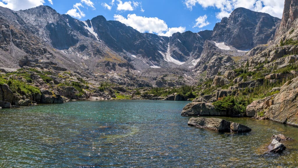
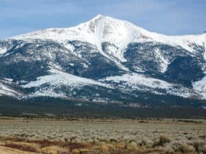
Continental divides are mountainous geographical features in the landscape that separate rainfall and drain it into different areas.
©iStock.com/SeanXu
What Is a Continental Divide?
Continental divides are mountainous geographical features in the landscape that separate rainfall and drain it into different areas.
They are large boundaries that dictate what landmass, rivers, oceans, and, in some cases, endorheic basins with no outlets to an ocean, rain, or snow melt run into.
Imagine a mountain range like the Rockies. When it rains overhead, raindrops land on either side of the highest peaks and run downhill in opposite directions. This establishes the flow of rivers and means those rainstorm droplets end up in very different places.
Simply put, a continental divide is a water drainage divider.
Continental divides are mountainous geographical features in the landscape that separate rainfall.
©Nicholas Courtney/Shutterstock.com
America’s Continental Divide
America has six continental divides dictating where rainfall ends up, but when people say “the continental divide,” they usually mean The Great Continental Divide, sometimes shortened to The Great Divide.
The Great Divide
It runs, for the most part, along the Rocky Mountains’ highest ridge from Cape Prince of Wales on the Bering Sea coast of Alaska, to the Strait of Magellan, in South America’s Andes.
It’s considered the greatest because it’s the longest and directs water into either the Atlantic or the Pacific Ocean.
Rain that falls on the east of the continental divide eventually joins the Atlantic Ocean. It enters the South Platte River and runs through the Mississippi River, New Orleans, and into the Gulf of Mexico.
Rain falling on the western side runs in the opposite direction to the Pacific Ocean via the Colorado River. It travels through Utah, the Hoover Dam, and Las Vegas.
In some cases, water will run into an endorheic basin like Utah’s Great Salt Lake or Oregon’s Crater Lake, which has no ocean outlets.
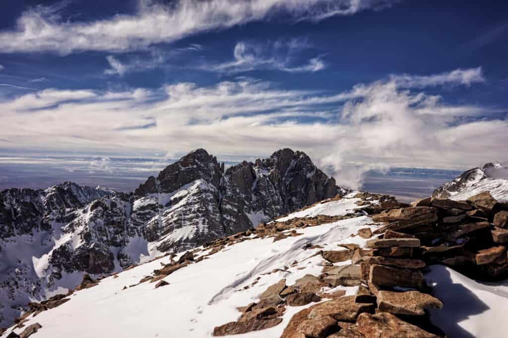
The Great Divide runs from Alaska through Mexico and into South America, diverting a massive amount of rainfall and water resources. It is a huge geological feature. The highest point is Colorado’s Gray’s Peak, with an elevation of 14,270 feet.
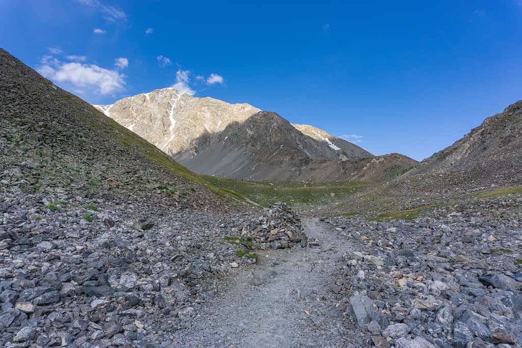
Acoma and Zuni tribes built stone bridges and cairns, which still stand on the Great Divide Trail.
©Grenierb/Shutterstock.com
Central and South America
In Central America, the continental divide runs alongside the Sierra Madre mountain system, and the Panama Canal cuts through it. Continuing on to South America, the continental divide runs along the Andes mountain chain. Water falling to the west of the Andes reaches the Pacific Ocean, and to the east, it finishes in the Atlantic Ocean.
How Was It Made?
The Earth’s crust comprises seven continental plates that move back and forth. When they rub against one another, they cause earthquakes.
In the distant past, continental plates collided with enormous force, and when a small tectonic plate collided with the North American plate 70 million years ago, it was subducted (pulled beneath). This motion pushed up a towering mountain range we know today as the Great Continental Divide.
It’s staggering to think the Earth’s activity so many millions of years ago has such a profound effect on today’s ecosystems, weather patterns, droughts, and the crop harvest we rely on.
The Earth’s crust comprises seven continental plates that move back and forth.
©MattMakesPhotos/Shutterstock.com
Why Is It So Far West?
The continental divide known as The Great Divide is way off center, to the west of the continent. It wasn’t designed by humans. It’s an accident of geography that occurred when the world was formed.
When Europeans colonized the United States in the 17th and 18th centuries, the Great Divide was a marker for the unknown that lay ‘out west,’ and it was a barrier to westward expansion. Lewis and Clark’s expedition crossed it at the Lehmi Pass in Montana, and settlers crossed through the South Pass in Wyoming.
Thousands of years before settlers arrived, the continental divide was inhabited by indigenous people, including the Acoma and Zuni tribes, whose stone bridges and cairns still stand on the Great Divide Trail. The highest peaks were sacred to the Blackfeet Nation’s creation stories. They called the mountains “mistakis, the backbone of the world.”
The United States Continental Divides
The North American continent contains six mountaintop divides that send water to the Atlantic, the Pacific, and the Arctic oceans or into landlocked lakes or salt flats.
These are the divides most experts agree on:
- Laurentian/ Northern
- Arctic
- St Lawrence
- Eastern
- Great Basin
The Great Continental Divide and Laurentian Divide converge at Glacier Park’s Triple Divide Peak in Montana. It’s a popular tourist spot, and so named because from here, water enters three oceans. The Pacific, the Atlantic, and the Arctic Oceans. Experts consider it North America’s ‘hydrological apex’.
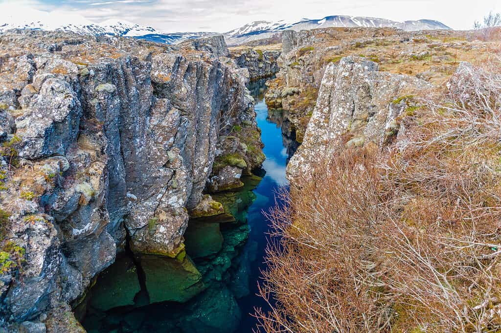
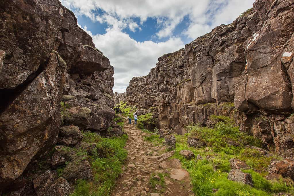
The continental divide between the European and North American continental plates in Iceland.
©Benedikt Juerges/Shutterstock.com
Why the Continental Divide Is Important
Continental divides are important because they determine where and to whom freshwater goes. Every living thing on our planet needs water to survive.
Groundwater creates weather patterns, rivers, and streams that irrigate crops and provide water for many habitat regions as it makes its way to the oceans.
It has also created differing cultures and ways of life due to the water resources it provides. Wide open farms that require dams and irrigation systems would look very different if shifted.
If the divide was just a few miles further to the east or west, it would significantly change the U.S. topography, weather, and landmass use as we know it.
What Animals Live Near the Continental Divide in North America?
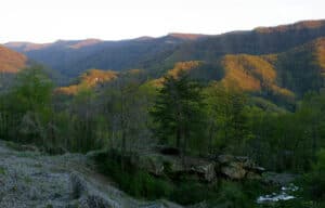
The Great Divide Trail runs along the continental divide, and it’s packed with interesting, unusual, and sometimes dangerous animals because the habitats are so varied. The trail is one of the country’s most ecologically diverse. It runs for 3,100 miles through five western states!
Habitats include tundra, coniferous forests, subalpine meadows, craggy snow-covered peaks, grassland, sagebrush, and many miles of rivers and streams, all fed by rain falling east or west from the very tip of the continental divide.
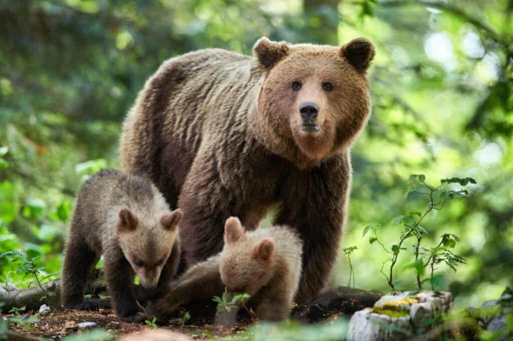
It is a bear country with both grizzly and black bears in residence. Always carry bear spray on the Great Divide Trail and keep your eyes peeled. Mountain lions are a rare sight, but they do live in the Rockies, as do wolves.
Beavers, yellow-bellied marmots, coyotes, snowshoe hares, pika rodents, boreal toads, and bats have all made it their home, and hikers often spot lots of ungulate species (these are hoofed animals) including deer, elk, bighorn sheep, moose and varieties of cattle.
Bald eagles soar over the mountain tops, white-tailed ptarmigan, mountain chickadee, western tanager, and many species of owls and woodpeckers are loved by birdwatchers there.
The continental divide is a rich habitat for all species of animals.
Always carry bear spray on the Great Divide Trail and keep your eyes peeled.
©Piotr Krzeslak/Shutterstock.com
Does Europe Have a Continental Divide?
What Continental Divides Exist on Other Continents?
Yes, every continent has continental divides except Antarctica, which doesn’t receive enough rainfall to flow from peaks into drainage basins.
Europe
Many seas surround Europe, a continent that has many mountain ranges, and therefore many continental divides. But the main one experts agree on (and not all agree!) is the European watershed that separates the northeast bodies of water from the southwest bodies. The northwest bodies are:
- Atlantic Ocean
- North Sea
- Baltic Sea
- Arctic Sea
The southern bodies are:
- Mediterranean Sea
- Adriatic Sea
- Aegean Sea
- Black Sea
- Caspian Sea
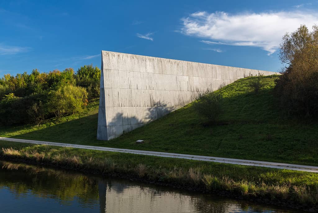
A marker on the Rhine Main Danube canal at the European Continental Divide in Germany.
©Steve Heap/Shutterstock.com
Africa
Africa’s main continental divide is the Congo-Nile Divide, situated between the Congo and Nile watersheds. It passes through the African Great Lakes. Between the Sahara and Congo, areas drain into Lake Chad. There’s also the Mediterranean-Indian Ocean divide in East Africa. In the south, the divide between the Atlantic and Indian Oceans passes through various watersheds like the Congo and Orange Rivers, ending in the Kalahari Desert.
Asia
There are multiple continental divides in Asia. For instance, one runs through the Indian state of Himachal Pradesh in the Himalayas, draining into the Arabian Sea in the Northern Indian Ocean. Another is located around Lake Baikal in southern Siberia, emptying to the Kara Sea and Laptev Sea in the Arctic Ocean. Runoff from the Ural Mountains divide drains into the Caspian Sea or Arctic Ocean. The Tibetan Plateau in the Himalayas divides the areas that flow to either the Indian Ocean or the Pacific Ocean.
Australia
Australia’s Great Divide is called the Great Dividing Range, separating rivers that flow to the Pacific Ocean and the eastern seaboard from those flowing west to the Southern Ocean, the Marray-Darling Basin, the Gulf of Carpentaria, or the Lake Eyre Basin.
The Political Continental Divide
Some commentators refer to the way states tend to regularly vote either Democratic or Republican as a continental divide. In some cases, it refers to the social differences between Americans and Canadians.
What Is the Continental Divide? Why Is It Important?
Let’s recap.
The Great Continental Divide is a mountain range created millions of years ago by the Earth’s continental plate activity. It runs from Alaska to the tip of South America and dictates whether rainfall runs to the Pacific or Atlantic oceans.
It’s important because it divides water resources. In turn, this creates ecological habitats and weather patterns, so the continental divide dictates where we can successfully grow crops and thrive.
In the past, the continental divide was part of the indigenous nation’s creation mythology, and in the settler period, it was a massive physical barrier to westward expansion.
The photo featured at the top of this post is © EQRoy/Shutterstock.com
How to Add Us to Google News


Thank you for reading! Have some feedback for us? Contact the AZ Animals editorial team.