
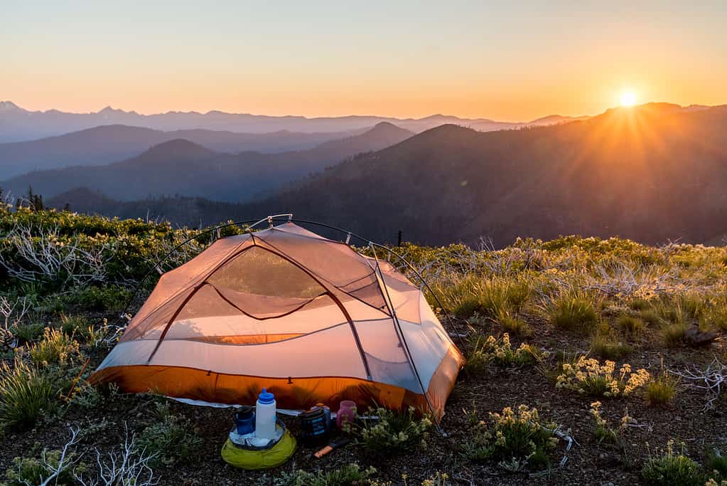
From south to north, the iconic Pacific Crest Trail (PCT) begins at the Mexican border in southern California. It then travels north through California, Oregon, and Washington until it reaches the Canadian border. Additionally, the long-distance hiking (and equestrian) archetype is 2,653 miles (4,270 kilometers) long and runs 100 to 150 miles east of the Pacific Coast. Passing through 7 national parks and 25 national forests, the Pacific Crest Trail’s elevation spans from approximately 110 feet (34 meters) to an astounding highest peak of 13,153 feet (4,009 meters).
The trail is a third of what is known as the United States’ “Triple Crown of Hiking.” This trio includes the PCT, The Appalachian Trail in the eastern U.S., and the Continental Divide Trail from Chihuahua, Mexico, to Alberta, Canada.
Where are the loftiest summits along the Pacific Crest Trail? Let’s discover the six highest peaks along the Pacific Crest Trail.
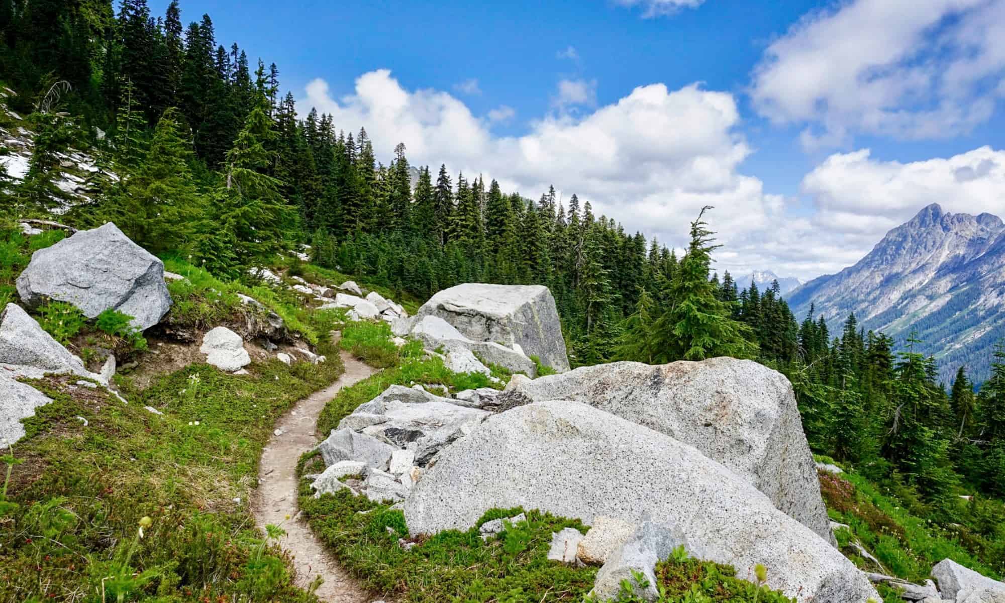
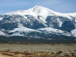
6. Donohue Pass
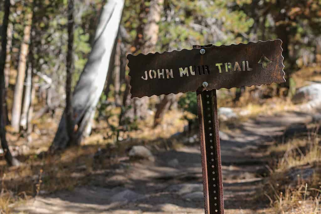
The John Muir Trail and the PCT both transverse Donohue Pass.
©melissamn/Shutterstock.com
This sixth-highest peak lies on the boundary between Yosemite National Park and the Ansel Adams Wilderness. At 11,066 feet (3,373 meters) elevation, Donohue Pass and Peak were named after Sergeant Donohue, who first ascended the peak.
The 26.9-mile trail loop via Rush Creek and John Muir Trail is considered highly challenging and should only be traversed by experienced hikers. Accordingly, the best time to hike Donohue is May through October. High temperatures during this time range from about 55° to 65°F for the high and 16° to 29° for the low.
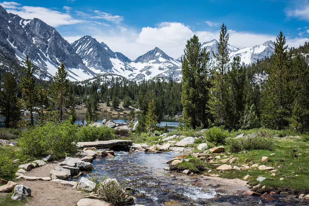
5. Muir Pass
Muir Pass is named for John Muir, a Scottish-American naturalist, botanist, zoologist, glaciologist, and nature enthusiast.
©Logan Bush/Shutterstock.com
Located near the midway point of the John Muir Trail and mile 841 of the PCT, Muir’s elevation is 11,955 feet (3,644 meters). Its grade is gentle, and at the top of the pass is Muir Hut, the only backcountry structure (other than the ranger stations) anchored on top of a Sierra Nevada pass.
The Muir Pass via Bishop Pass hike is 20 miles long and considered highly challenging. Again, this trek should only be attempted by expert hikers. The optimum times to visit are June through October, where the high temperatures run from 54° to 70°F and the lows run from 33° to 49°F.
4. Glen Pass
This Pass lies in the Sierra Nevada in Kings Canyon National Park.
©Patricia Elaine Thomas/Shutterstock.com
The fourth-highest Peak along the PCT is named for Forest Service ranger Glen H. Crow. It has an elevation of 11,969 feet (3,648 meters). It is 11.6 miles north of Forester Pass and 16.1 miles south of Pinchot Pass.
The Glen Pass via PCT is a difficult one-way trail in Kings Canyon National Park. The best times to visit are from June to September when the average high temperatures run from 89° to 95°F and the average lows from 59° to 66°F.
3. Pinchot Pass
Pinchot Pass is named for Gifford Pinchot, the first head of the United States Forest Service.
©Ron Karpel/iStock via Getty Images
Located in far eastern Fresno County in the Sierra Nevada mountain range, Pinchot’s elevation is 12,090 feet (3,685 meters) running from east to west. Also between Crater Mountain and Mount Wynne, Pinchot Pass separates a lake basin.
It is a well-maintained trail that is easily navigable during the snow-free season, but it is a long trail and windy at its summit. The best times to hike this pass/peak are May through October when the average high temperatures range from 64° to 85°F and the lows range from 48° to 67°F.
2. Mather Pass
The pass is located in King’s Canyon National Park.
©Leene/Shutterstock.com
At an elevation of 12,093 feet (3,680 meters), this penultimate peak is named for Stephen Mather, who served as head of the National Park Service and Assistant Secretary of the Interior. Between Crabtree Meadows and Tuolumne Meadows, the path traverses not only the Pacific Crest Trail but also the John Muir Trail.
Most hikers acknowledge Mather Pass as one of the more difficult climbs because its southern headwall is so steep. However, during non-snow seasons, the trail is more accessible. As well, its overseers maintain it well. Although the trek is filled with challenging switchbacks, the views from the peak are breathtaking. Again, the best times to hike this pass are during the late spring and early summer, when the temperatures are milder.
1. Forester Pass
This mighty mountain is located on the Kings-Kern Divide between Sequoia National Park and Kings Canyon National Park.
©chrisontour84/Shutterstock.com
At 13,153 feet (4,009 meters), this towering peak sits at 13,153 feet (4,009 meters), which is the highest point along the Pacific Coast Trail. How did this incredible peak get its name? It was found and documented by a group of United States Forest Service workers — thus, “Forester Pass” was christened.
Four men were seriously injured on August 26, 1930, while they were working on the construction of the trail of the pass. While blasting the trail, a boulder crushed 18-year-old Donald Downs’ arm. Downs’ arm was initially amputated, but he eventually died a week later from complications of the surgery.
Surprisingly, the Pass is fairly manageable on the way up, gaining an average of 440 feet per mile. Overall, it is considered highly challenging. After all, it is the absolute highest peak along the Pacific Crest Trail!
Summary of the 6 Highest Peaks Along the Pacific Crest Trail
| PCT Peak | Elevation (feet/meters) |
|---|---|
| 6. Donohue | 11,066/3,373 |
| 5. Muir | 11,955/3,644 |
| 4. Glen | 11,969/3,648 |
| 3. Pinchot | 12,090/3,685 |
| 2. Mather | 12,093/3,680 |
| 1. Forester | 13,153/4,009 |

How to Add Us to Google News


Thank you for reading! Have some feedback for us? Contact the AZ Animals editorial team.