
Hiking the Pacific Crest Trail (PCT) considers different methods and approaches, but all require careful strategy and self-conditioning. This trail stretches thousands of kilometers through an array of terrains. It beckons those looking to embrace its challenges and immense beauty. This article will explore the length of the Pacific Crest Trail, how long it takes to hike it, and the many factors that influence the journey.
The Pacific Crest Trail was officially established in 1968, and it was completed in 1993.
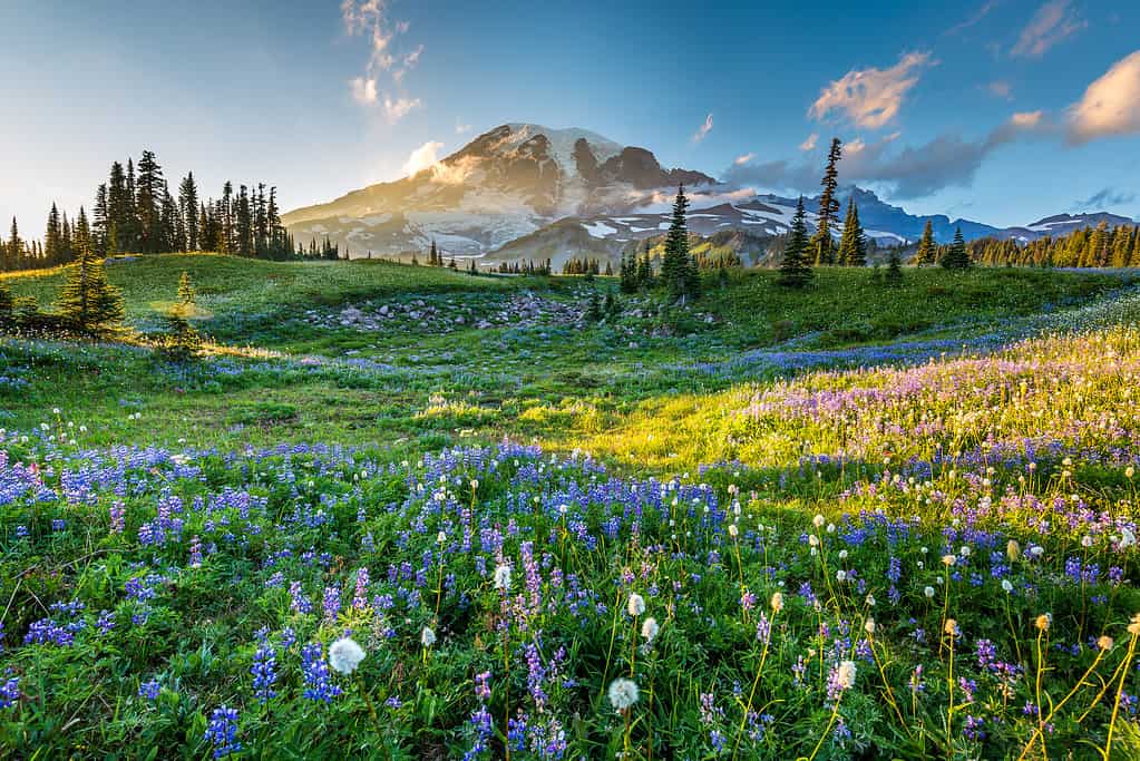
©RobertCrum/iStock via Getty Images
How Long Does It Take to Hike The Pacific Crest Trail?
The Pacific Crest Trail (PCT), an emblem of human determination and nature’s best, stretches its sinuous path over a majestic expanse of the western United States. This awe-inspiring trail encompasses an impressive array of ecosystems, traversing diverse landscapes from scorching deserts to wild alpine wilderness and rugged mountains.
Pacific Crest Trail Length
Spanning a monumental distance of approximately 4,265 kilometers (2,650 miles), the Pacific Crest Trail extends its journey from the arid expanses of Campo, California, in the United States near the Mexican border, to the picturesque Manning Park in British Columbia, Canada. In its course, the trail navigates through three captivating states, including California, Oregon, and Washington. These states showcase the sheer diversity of western North American landscapes, offering an immersive experience through their unique terrains and ecosystems.
The trail passes through 25 national forests and 7 national parks, through some of the most extreme wilderness and challenging terrain in the continental United States. The elevation along the PCT ranges from its lowest near Bridge of the Gods on the Oregon and Washington border at approximately 34 meters (110 feet) above sea level to its highest point at Forest Pass in the Sierra Nevada at approximately 4,017 meters (13,180 feet) above sea level.
The Average Length of Time It Takes to Hike the Pacific Crest Trail
Embarking on the arduous trek of the Pacific Crest Trail is a commitment that isn’t taken lightly, one that demands an intimate understanding of nature, its challenges, and the human limit. The duration of the journey varies depending on the approach, strategy, and pace of the hiker. For those who set out as through-hikers, intending to complete the entire trail without interruption, the expedition often spans around five to six months for the experienced hiker conditioned and versed in wilderness navigation. The ardent connection forged with the natural world and the appreciation of its beauty are the rewards that sustain and enrich through-hikers during this remarkable journey.
Fastpacking the Pacific Crest Trail
Fastpacking is another method for completing the PCT for those who desire to travel swiftly and lightly. These trailblazers, embracing the minimalist ethos of speed, efficiency, and minimalism, can complete the trail in a fraction of the time. On average, it takes through-hiking fastpackers, who consider themselves athletes and are deeply familiar with wilderness navigation, roughly two to three months to complete the PCT. Their remarkable pace requires meticulous planning, profound trail awareness and self-awareness, and mental toughness.
When to Hike the Pacific Crest Trail
The optimal time to embark on hiking the entire PCT hinges on the alignment of weather conditions and seasonal shifts. Generally, hikers commence their journey in the spring, typically in April, when snow is receding and temperatures are amiable. The early start allows hikers to traverse the often snow-covered high passes of the Sierra Nevada and Cascades before the impassable snowfall returns in the fall. Overall, this strategic timing ensures safer passage through the more challenging stretches of the trail.
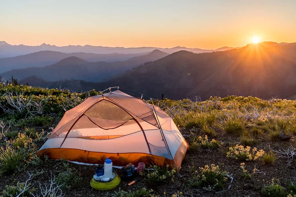
As the trail meanders its way, shelter can take various forms. Hikers may visit one of many trail towns scattered at intervals along the trail. These oases offer a chance to rest, refuel, and connect with fellow hikers. Accommodations off-trail in these resupply towns range from quaint hostels, lodges, campgrounds, and more, serving as an interlude of comfort amid the secluded wilderness. However, it’s important to note that some hikers, driven by the unyielding call of the wild, choose to camp solely along the trail, only stopping in town to resupply and head back out.
Through-Hiking and Section-Hiking the Pacific Crest Trail
Furthermore, there are two distinct methods to hiking the PCT adventure. They include through-hiking and section-hiking. Without getting too technical or enabling perfectionism mindsets, both methods provide hikers the opportunity to hike the PCT at their own style, pace, and commitment. Through-hiking entails the complete traversal of the trail, a feat that requires prolonged commitment and immense logistical planning. On the other hand, section-hiking enables hikers to complete the trail in segments. This approach offers flexibility, allowing hikers to cover the trail’s expanse over multiple seasons or even years.
Hiking the Pacific Crest Trail is a Physical, Emotional, and Spiritual Journey
The Pacific Crest Trail is not only a physical expedition but also a spiritual journey. Moreover, it is a journey of awakening. This grounding experience pushes you to your limits, uncovering and revealing things within you that you may not have expected. Endurance, resilience, and reverence are required when venturing deep into the natural world. The PCT beckons humans to forge and define their own stories along its expanse.
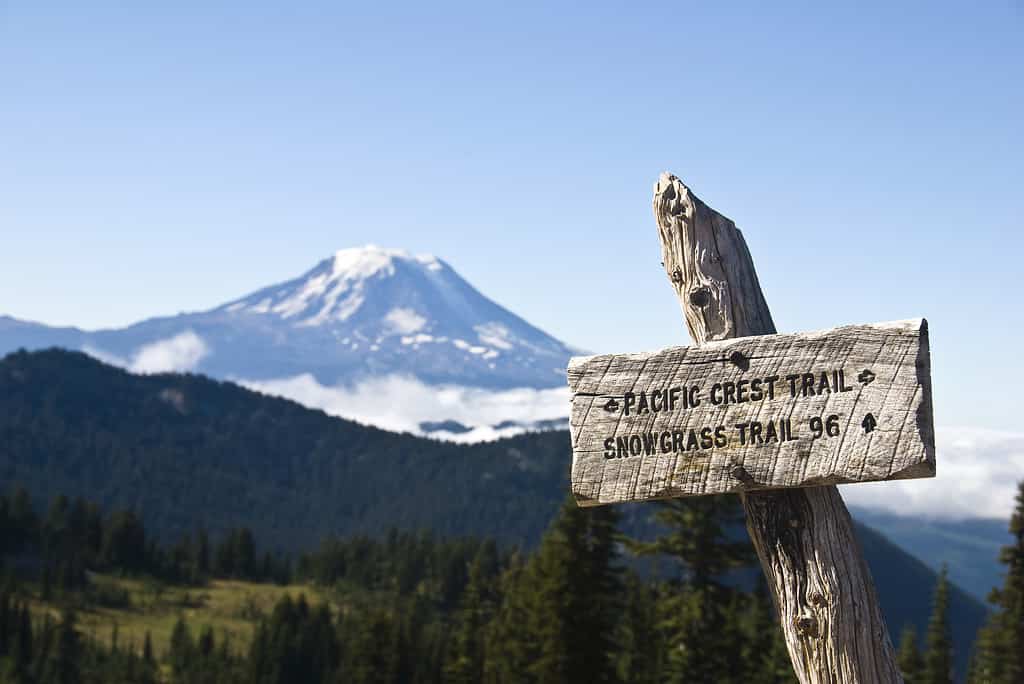
The Pacific Crest Trail passes through 25 national forests and 7 national parks. Its elevation ranges from its lowest point at roughly 34 meters (110 feet) above sea level to its highest point at approximately 4,017 meters (13,180 feet) above sea level.
©Drew Payne/iStock via Getty Images
NOBO and SOBO: What is the Best Way to Hike the Pacific Crest Trail?
Embarking upon hiking the Pacific Crest Trail (PCT) is a profound journey that considers two distinct approaches. The decision of whether to hike the PCT in a northbound (NOBO) or southbound (SOBO) direction is a pivotal choice that shapes the experience and challenges faced. Though NOBO is more common, both approaches carry their own set of considerations, making this decision a personal one.
NOBO (Northbound)
For those who opt to hike the PCT northbound, the journey begins in the warmth of the southern California desert. NOBO hikers set forth from the Mexican border, gradually making their way toward the towering peaks of the Sierra Nevada and the magnificent Cascade Range. This direction, favored by the majority of through-hikers for its prime optimization of weather and seasons, offers a rhythm of transition from the arid desert to the high alpine, allowing hikers to adapt to the increasing challenges and avoid intense heat and snow as much as possible.
Setting out as a NOBO hiker typically commences in the spring, around April. This timing aligns with the southern deserts’ receding snow cover and milder temperatures. The gradual transition through various elevations enables hikers to tackle the Sierra Nevada and Cascade Mountains before winter weather returns to the higher altitudes.
SOBO (Southbound)
In contrast, southbound hikers begin their odyssey in the serenity of the wilderness on the Candian border, embarking from the northern end of the PCT. The SOBO route leads them southward through the rugged terrains of Washington, Oregon, and, ultimately, California’s intense and diverse landscapes. This approach, while less common than NOBO, presents its own unique set of challenges.
The decision of when to start a SOBO journey is crucial for a successful and safe experience. Typically, hikers set off in mid-June or even early July, as the snow cover in the northern regions begins to melt and the trails become more passable. However, SOBO hikers must be prepared to face snow-covered terrain in the early stages of their journey as they traverse the high mountain ranges of the Cascades and Sierra Nevada.
The choice between NOBO and SOBO when hiking the length of the Pacific Crest Trail entails a series of pros and cons that prospective hikers must carefully consider.
NOBO (Northbound) Pros
Easier Start: The relatively gentle terrain and milder temperatures of the southern desert in the spring provide a gradual introduction to the challenges of the trail.
Thru-Hiking Community: The majority of through-hikers, approximately 90%, according to the Pacific Crest Trail Association, opt for the NOBO direction, offering the opportunity to connect with fellow hikers and build camaraderie.
Optimal Timing for High Passes: Starting in the spring allows NOBO hikers to tackle the Sierra Nevada and Cascade Mountains during milder weather before winter conditions return.
NOBO (Northbound) Cons
Crowds: The popularity of NOBO hiking can result in crowded trail sections and competitive camping spots in certain areas.
Limited Water Sources: The southern desert section of the trail presents challenges with water availability.
Weather Extremes: Even in the spring, hikers may experience extreme temperatures in the desert sections at the beginning of their journey.
SOBO (Southbound) Pros
Solitude: The SOBO route offers a quieter and less crowded experience, with fewer hikers choosing this direction.
Later Start Time: SOBO hikers begin in the northern wilderness in June or July once the mountainous regions experience enough snowmelt and the trails are passable again. As they end in the desert, which experiences little snow, they can finish the trail as late as November.
Cooler Weather: Hiking in the hotter months along the north end of the trails allows for hiking on the south end of the trail in cooler months. This allows hikers to avoid the extreme desert heat along the trail’s south part.
SOBO (Southbound) Cons
Snow Challenges: Early stages of the journey can involve snow-covered trails in high mountain areas, requiring navigation skills and proper gear.
Less Thru-Hiker Community: A pro or a con depending on your people preferences. The smaller number of SOBO hikers may result in fewer opportunities for social interactions along the way.
Water Availability: Hikers need to plan for water sources and potentially carry more water in certain sections, particularly on the southern half of the trail.
Ultimately, whether to hike the PCT NOBO or SOBO is deeply personal, shaped by individual preferences, skills, and goals.
The Pacific Crest Trail is approximately 4,265 kilometers (2,650 miles) in length, stretching across California, Oregon, and Washington.
©Ron Karpel/iStock via Getty Images
What Factors Influence Hiking the Pacific Crest Trail?
The speed at which one can hike the Pacific Crest Trail (PCT) is influenced by a myriad of factors that intricately weave together the tapestry of challenges and triumphs. From the capricious whims of weather and temperature to the harsh effects of natural disasters, the PCT demands respect and adaptability from those who tread along its path.
Weather and Temperature
The natural rhythms of weather and temperature significantly impact the pace of PCT hikers. Hikers must contend with extreme temperature fluctuations as they journey through diverse terrains spanning open expanses, deserts, mountains, and forests. For instance, brutal heatwaves in the desert or even various mountainous sections can force hikers to seek shade and conserve energy during the hottest parts of the day. Moreover, sudden drops in temperature at higher elevations or during the night demand proper gear and precautions to prevent hypothermia.
Lack of Water Sources
Furthermore, the arid expanses of the PCT, particularly in the southern desert sections, pose a tough challenge due to limited water sources. Hikers must meticulously plan their routes around available water points, carrying enough water to sustain them between these sources. The scarcity of water forces a balance between carrying a sufficient supply and minimizing pack weight.
Illness and Injury
The grueling demands of hiking the length of the Pacific Crest Trail come with the risk of illness and injury. Blisters, strains, rashes, cuts, abrasions, illness, and even more severe injuries can significantly impede progress. Hikers must be equipped with first aid knowledge and carry medical supplies sufficient to address mild to extreme issues promptly. Injuries may necessitate rest days or even lead to the decision to abandon the hike. Furthermore, hikers should consider carrying a personal locator beacon (PLB), such as a Garmin InReach, in the event they need to be rescued.
Navigation
Navigating the PCT, with remote and often unmarked sections of trail, along with junctions, requires a skillful blend of map reading, compass use, and even GPS technology. Navigational errors can lead to detours, lost time, and increased fatigue. Hikers must be adept at interpreting topographic maps and maintaining a sense of direction to avoid unnecessary setbacks.
Natural Disasters
The unpredictable forces of nature, such as wildfires, earthquakes, snowstorms, floods, and landslides, can disrupt the trail and present immediate dangers to hikers. Wildfires, in particular, have become a recurrent concern along the PCT. Hikers need to stay informed about trail closures, have contingency plans, and prioritize safety above all else.
Altitude and Acclimatization
As the PCT ascends through mountain ranges, the challenge of altitude becomes pronounced. Hikers face the effects of reduced oxygen levels, which can lead to altitude sickness and increased fatigue. Acclimatization, the process of gradually adapting to higher elevations, is essential for minimizing the impact of altitude-related challenges.
Terrain and Elevation Gain
The varied terrain of the PCT, from smooth paths to rugged and steep sections, directly influences the speed of hiking. Elevation gain and uneven or rocky terrain pose particular challenges, requiring increased effort and slowing progress. Hikers must be prepared for the physical demands of steep ascents and descents.
Gear and Pack Weight
The Most obvious is pack weight. The weight of the hiking gear and supplies carried in the backpack directly affects a hiker’s speed and endurance. Striking the right balance between essential items and minimizing pack weight is a skill that impacts overall performance.
Adaptability is a necessity for hiking the length of the Pacific Crest Trail. The trail’s unpredictable nature and the interplay of the factors listed above underscore the importance of careful planning, rigorous preparation, sound judgment, and contingency plans. Whether through relentless sunshine, frigid nights, or unexpected challenges, those who embark on the PCT must summon physical strength and mental and emotional control.
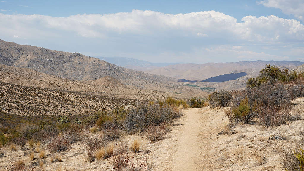
Desert sections of the southern part of the Pacific Crest Trail may be dry, but they also come with the difficulty of water sources that are few and far between.
©Christopher Heil/iStock via Getty Images
What is the Fastest Known Time for Completing the Pacific Crest Trail?
The Pacific Crest Trail (PCT) stretches over an expansive and diverse 4,265 kilometers (2,650 miles). Whether through-hiking or section-hiking, this marvelous trail offers a true test of human endurance and resilience. In addition to connection with the natural world. The fastest known time (FKT) for completing this epic trail has been a subject of fascination and admiration among outdoor enthusiasts and athletes. FKTs, in general, have gained immense popularity over recent years. When considering the PCT, the FKT has changed hands only a few times over the past decade.
The unique blend of diverse ecosystems, ranging from arid deserts to lush alpine regions, demands awareness and preparation. Preparing to challenge the FKT requires immense planning, consideration, and strategy. Completing this trail in record time demands physical prowess and a deep understanding of the terrain. Not to mention an unwavering respect for nature.
FKT Achieved by Karl Sabbe in 2023
As of recently, the ‘men’s supported fastest known time’ for completing the Pacific Crest Trail was, for a second time, achieved by Karel Sabbe in August of 2023. Sabbe, a Belgian ultrarunner and dentist, covered the entire trail in an astonishing 46 days, 12 hours, and 50 minutes. This remarkable feat required an average daily mileage of approximately 94 kilometers (58 miles), showcasing exceptional stamina and perseverance. Sabbe’s accomplishment resonates with the spirit of determination and the human capacity to conquer daunting challenges.
It is important to note that FKT attempts on the PCT are meticulously planned and executed. They often involve extensive research, trail knowledge, and strategic support. Ultrarunners like Karel Sabbe carefully consider various factors. Such factors may include but aren’t limited to preconditioning, weather conditions, nutrition, and pacing to optimize their performance along the trail.
The allure of setting and breaking FKT records on trails or mountaineering routes reflects the indomitable human spirit. In addition to the deep connection individuals experience with the natural world in relation to the mind-body-spirit connection.
As humans push their limits on this iconic trail, they also draw attention to the imminent significance of preserving these breathtaking wilderness areas for generations to come.
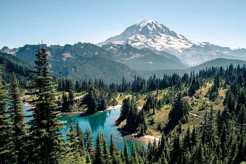
There are tremendous views near and along the Pacific Crest Trail.
©RomanKhomlyak/iStock via Getty Images
Conclusion
The Pacific Crest Trail (PCT) is a remarkable trail spanning the United States’ western states. These states include California, Oregon, and Washington State. The length of the Pacific Crest Trail traverses over 4,279 kilometers (2,650 miles) through diverse landscapes.
The journey’s length varies depending on one’s pace and approach. Through-hikers commit five to six months for the entire trail on average. In comparison, fastpackers achieve this feat in approximately two to three months. The choice between hiking northbound (NOBO) or southbound (SOBO) shapes the experience, with NOBO being the most popular approach. Challenges like weather, altitude, terrain, and navigation influence the journey, underscoring the need for adaptability, resilience, and sound judgment.
Overall, hiking the PCT is an experience that pushes you to your limits. It also grounds you, bringing you back to your primitive roots within nature. The trail beckons those who wish to immerse themselves in nature’s truest form while unearthing their own sense of being.
The photo featured at the top of this post is © RomanKhomlyak/iStock via Getty Images


How to Add Us to Google News


Thank you for reading! Have some feedback for us? Contact the AZ Animals editorial team.