
Louisiana is a southern state that is bordered by Arkansas to the north, Mississippi to the east, the Gulf of Mexico to the south, and Texas to the west. It is most well known for its diverse mix of cultures and traditions, ranging from the French and Spanish settlers to the Creoles/Cajuns and the Indians.
Louisiana is also famous for the port city of New Orleans, a common shipping destination and the birthplace of jazz music.
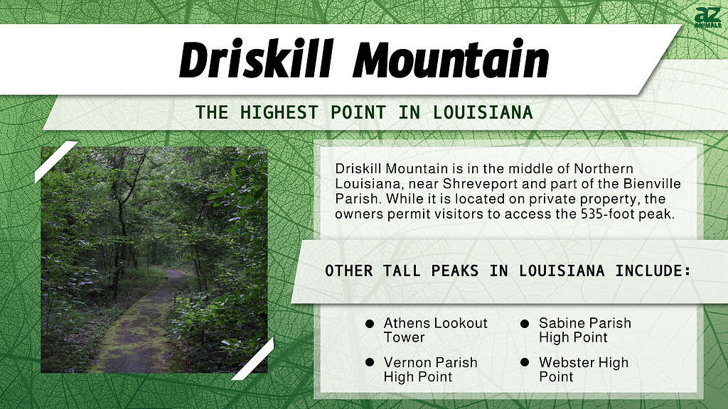
What Louisiana is not famous for is its mountains. It is one of three states in the U.S. with its lowest point located below sea level. The highest point in Louisiana is Driskill Mountain, at 535 feet high. This highest point is the third-lowest in the nation after Britton Hill in Florida and Ebright Azimuth in Delaware.
Where Is Driskill Mountain, and Is It a Real Mountain?
Driskill Mountain is part of the Bienville Parish, located near Shreveport, Ruston, and Grambling.
©iStock.com/Nancy Strohm
Driskill Mountain is located on private property in the middle of Northern Louisiana, only a short drive off of the 507 freeway. Louisiana is divided into parishes instead of counties, a tradition that comes from its French and Spanish heritage. Driskill Mountain is part of the Bienville Parish, located near Shreveport (Louisiana’s major city) and Ruston and Grambling, two popular neighboring college towns.
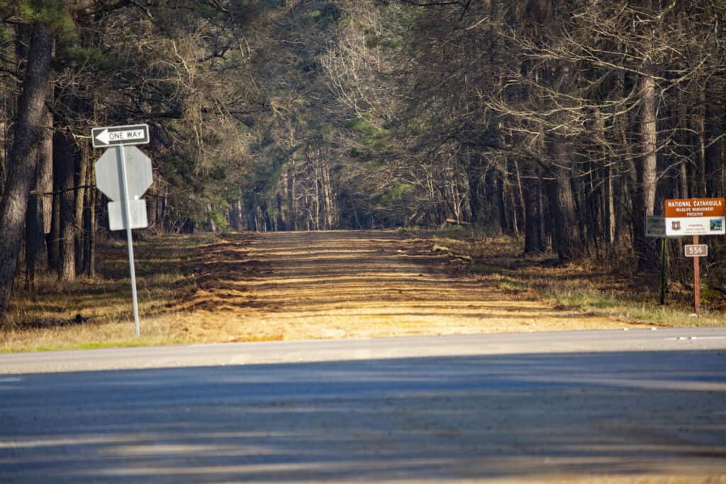
The Bienville Parish is beloved for its fishing and hunting, as it offers many lakes and forests in the surrounding area. Their forestry commodity alone is valued at more than $47 million dollars.
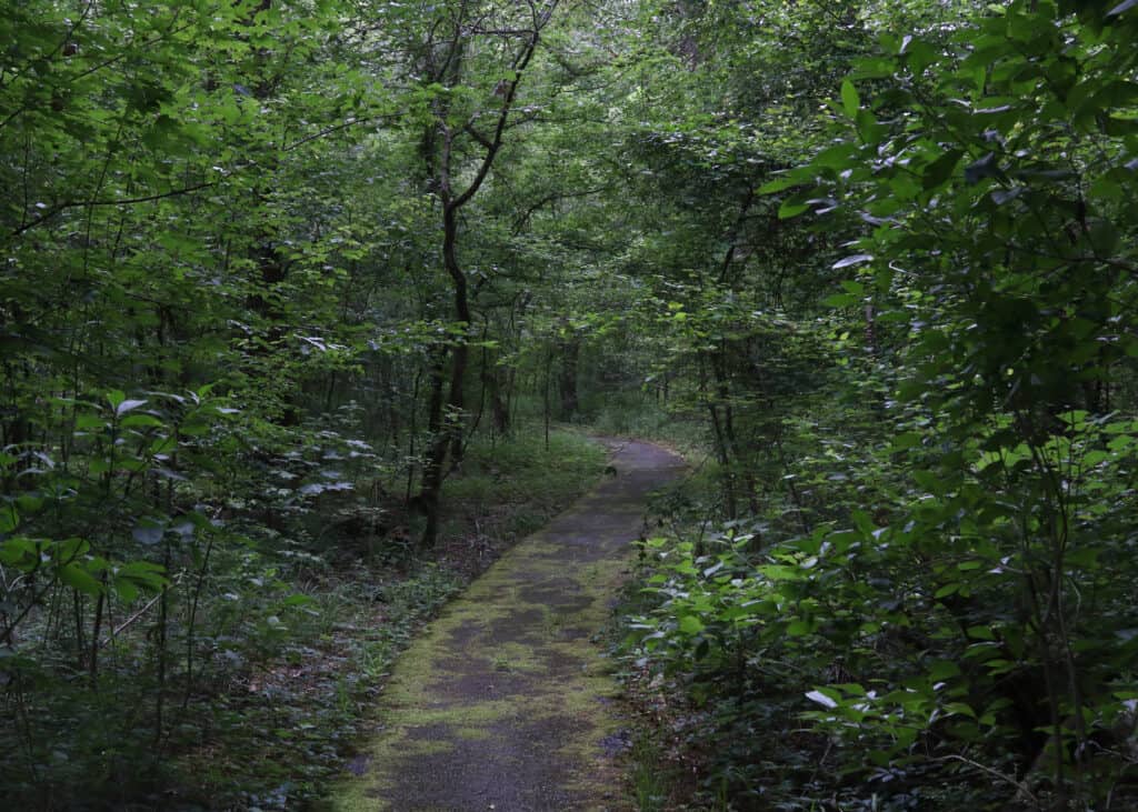
The easiest way to find Driskill Mountain is to head to the Mount Zion Presbyterian Church in the town of Arcadia. If you follow the dirt road behind the church’s cemetery and into the pine wood trees you will be able to follow trail signs that point the way.
Even though Driskill Mountain is not on public land, the owners of the area permit visitors as long as they leave no trace on the mountain and refrain from loud or rowdy behavior.
While an elevation of 535 feet would usually qualify as a hill in most states, Louisiana as a whole is one of the lowest places in the nation, with an average height of only 100 feet above sea level. Its highest area is the third lowest in the United States, while its lowest spot (in New Orleans) is eight feet below sea level.
Accordingly, Driskill Mountain qualifies as a mountain for the state of Louisiana. The terrain in the area is largely forest, which is common for this section of Louisiana and northeastern Texas, with a significant amount of ferrous sandstone in the soil. You can also find plenty of dogwood and azalea plants in the area.
There are a few buildings in the city of New Orleans that stand taller than Driskill Mountain, including the Hancock Whitney Center (previously known as One Shell Square) and Place St. Charles skyscrapers in the city’s downtown section.
Where Is Driskill Mountain Located on a Map?
Driskill Mountain lies about 5.3 miles southeast of Bryceland, in the forests of Bienville Parish, between Shreveport, the largest city in the state, and the college towns of Grambling and Ruston. Louisiana is located in the southern part of the United States. It is bordered by Texas to the west, Mississippi to the east, Arkansas to the north, and the Gulf of Mexico to the south.
How Was Driskill Mountain Formed?
Driskill Mountain is the result of the erosion of fine silt during the Paleogene period, a relatively recent geologic occurrence (the first of three during the Cenozoic era) that accounts for less than 1% of geologic time. The developments of this shift can be observed much closer to the Earth’s surface as a result. The Paleogene period spanned from 66 million to 23 million years ago.
The peak of Driskill Mountain is comprised of nonmarine quartz sands that date back to the Cockfield Formation, a geologic formation that originally occurred in Mississippi during the Paleogene period.
Most of Driskill Mountain was created by the Cook Mountain Formation (also dating back to the Paleogene) and is comprised of coastal/marine silt and clay.
Who Is Driskill Mountain Named After?
Driskill Mountain is named for James Christopher Driskill, a former soldier from Henry County, Georgia. He was born on June 27, 1817. He sold his land in Macon, Georgia, in October 1859 and moved his family of eleven (which included his wife Eugenia, one daughter, and eight sons) to Louisiana, where he had bought 320 acres of timber and farmland from Nathan P. Smith. His plot eventually grew to include 960 total acres, but part of his original purchase included what is now known as Driskill Mountain.
When Civil War broke out in 1861, James Driskill joined the Home Guard, a confederate militia whose function was to serve as the last line of defense for their respective home fronts. The Home Guard was comprised of any male between 18 and 50 years who could not serve in the Confederate army. William, the eldest Driskill, perished in Virginia on May 5, 1864, in the Battle of the Wilderness, and another one of his sons vanished in the war.
Driskill sold two acres of land to the trustees of the Mount Zion congregation for $5 on June 26, 1883. They joined forces with a local Presbyterian Church and constructed the Mount Zion Presbyterian Church that still stands today, as well as the Driskill Memorial Cemetery.
With the exception of one daughter and son, the family of James Christopher Driskill stayed on their land after the war. Most of his family line currently resides in Bienville Parish.
What Are the Five Highest Points in Louisiana?
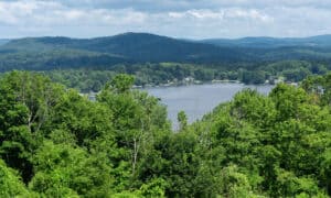
Eagle Hill is five miles west of the Kisatchie National Forest, the only national forest in Louisiana.
©iStock.com/tornado98
The five highest points in Louisiana are Driskill Mountain (535 feet), Athens Lookout Tower (500 feet), Sabine Parish High Point (490 feet), Vernon Parish High Point (484 feet), and Webster High Point (480 feet).
Athens Lookout Tower is in the city of Athens in Claiborne Parish. It is one of six lookout towers in the parish, including the Antiock Lookout Tower, The Blackburn Lookout Tower, KLVU-AM, KWHN-FM, and the Rocky Hill Lookout Tower. Athens is named for the capital of Greece, and it reportedly was the head city of the Claiborne Parish in 1846 before a fire broke out two years later and wiped out the courthouse records. The city of Homer is the current parish seat.
The Sabine Parish High Point is comprised of five mountains, the tallest of which is Eagle Hill. Eagle Hill reaches a height of 456 feet and leads north to the Ouachita Mountains of Arkansas. This mountain is also five miles west of the pinewood expanses of the Kisatchie National Forest, the only national forest in Louisiana.
There is currently a radio tower and abandoned artillery observation tower (Eagle’s Roost) atop Eagle Hill, but it is also renowned for being the site of many unearthed Native American artifacts. There was also a temporary Air Force Station at Eagle Hill during the Vietnam War.
The Vernon Parish High Point is the colloquial name for an unofficial highpoint on land that is joint-owned by the Fort Polk Wildlife Management Area and the Fort Polk Military Reservation. Vernon Parish was started in 1871 during the Reconstruction era, and today it has a population of over 50,000, making it the largest parish in Louisiana.
This area has been a profitable location for the timber industry, as it is replete with pine trees and has a railway that was built in 1897 to assist in transporting lumber and workers. Leesville is the parish seat of Vernon Parish, but the parish itself covers 1,341 square miles (14 miles of which is water). The construction of Fort Polk in the middle of World War II created significant employment opportunities for the area, and the local population grew over five times larger in the years immediately after its founding.
The fifth and final high point in Louisiana is the Webster Parish High Point. This is a part of four mountains in Webster Parish: Indian Mound (144 feet), Big Mound (194 feet), Bull Hill (423 feet), and Duncan Hill (the highest at 427 feet). This area is considered part of the Kisatchie National Forest, and the Parish was named in honor of Daniel Webster, a U.S. statesman and Secretary of State under President Harrison.
The photo featured at the top of this post is © iStock.com/Nancy Strohm
Sources
- Louisiana Travel, Available here: https://www.louisianatravel.com/articles/hiking-driskill-mountain-louisianas-highest-elevation
- Summit Post, Available here: https://www.summitpost.org/driskill-mountain/151925
- All Trails, Available here: https://www.alltrails.com/trail/us/louisiana/driskill-mountain-trail
- Mountain Jobs, Available here: https://www.mountainjobs.com/blog/mountain-living/all-you-need-to-know-about-driskill-mountain-louisiana/

How to Add Us to Google News


Thank you for reading! Have some feedback for us? Contact the AZ Animals editorial team.