The Land of 10,000 Lakes is well known for its bodies of water, but what about the highest point in Minnesota? The state is home to nearly six million people, many of which live in the Minneapolis-Saint Paul urban area. While the central and southern parts of the state are largely dominated by farmland, the northern region is heavily forested. In fact, Minnesota’s northern forests are known as the North Woods. Second only to Alaska in terms of northerly latitude, Minnesota is a part of the Great Lakes Region.
Here, we’ll discover more about the highest point in Minnesota. We’ll also find out more about the state’s topography, from the lowest elevation to the highest. Then, we’ll discover just how to get to the state’s highest point and what there is to do in the area. Finally, we’ll explore the other four highest spots in Minnesota and how they compare to the highest spot in the state.

Highest Point in Minnesota

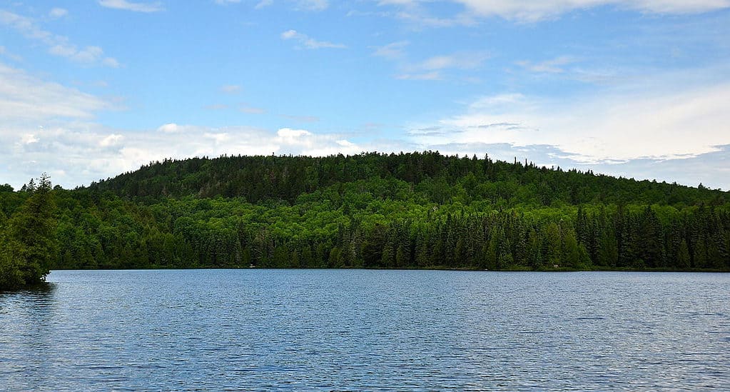
The highest point in Minnesota is Eagle Mountain.
©Skye Marthaler / CC BY-SA 3.0 – License
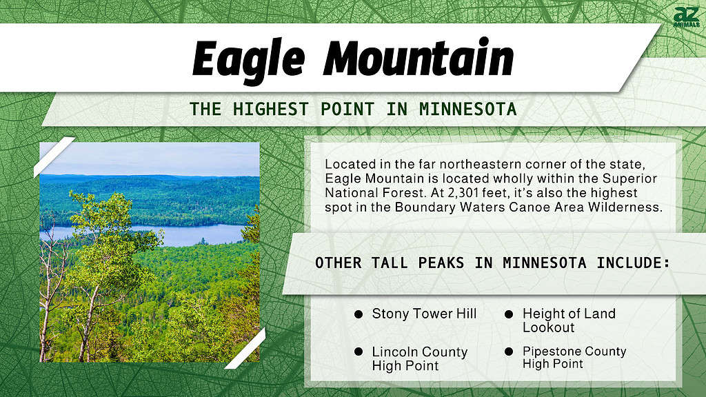
Measuring 2,301 feet in elevation, Eagle Mountain is the highest point in Minnesota. Located in the far northeastern corner of the state, Eagle Mountain is located wholly within the Superior National Forest. It’s also the highest spot in the Boundary Waters Canoe Area Wilderness. Interestingly, Eagle Mountain is one of the least accessible state high points in the country. It’s also extremely close to the state low point. Though the summit has no observation tower or other large structure, it is marked by an informative plaque.
Minnesota’s Topography: Top to Bottom

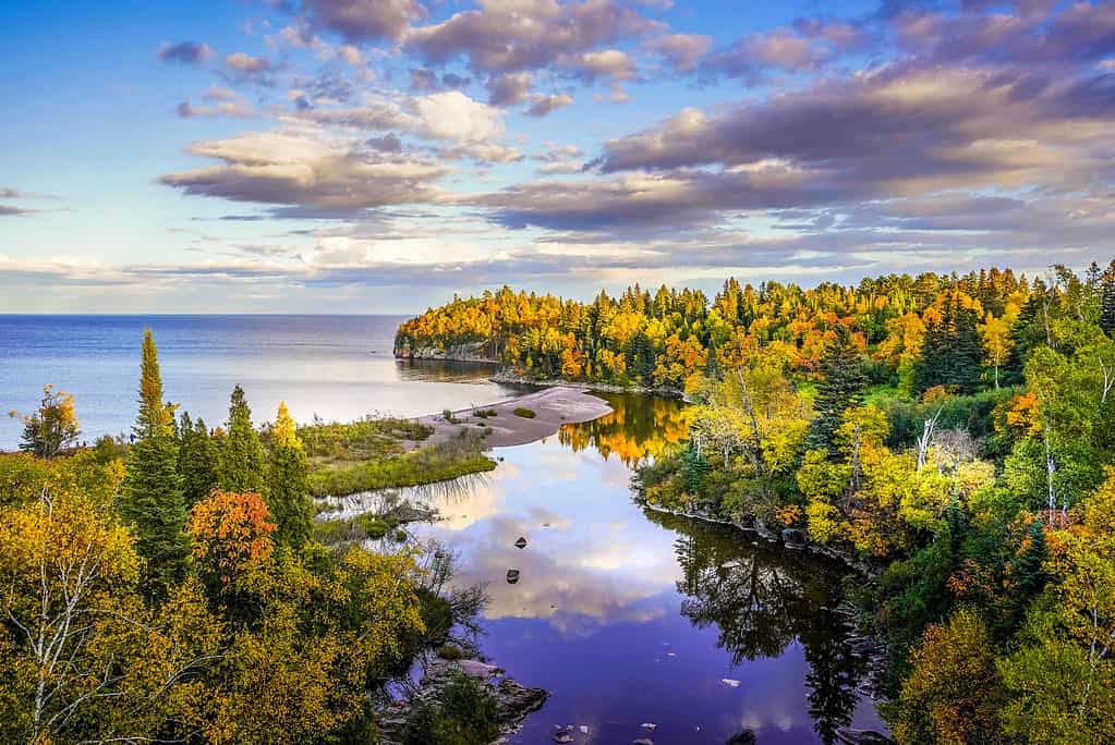
Minnesota is surrounded by bodies of water.
©iStock.com/Susan Rydberg
So, Eagle Mountain is the highest point in Minnesota, but how does the rest of the state compare? Minnesota’s low point is 600 feet above sea level, at the shores of Lake Superior. In fact, this low point is located less than 20 miles from the state high point at Eagle Mountain. Further, Minnesota’s land mass covers nearly 90,000 square miles, which makes it the 12th largest state in the United States.
Eagle Mountain is a part of the Canadian Shield formation. Like much of Minnesota, it’s surrounded on all sides by various bodies of water. These include Whale Lake, Shrike Lake, Whale Creek, Vireo Lake, and Belly Lake. locally, Eagle Mountain has several hundred feet of clearance. It rises above the surrounding lands in an obvious prominence.
Can You Drive to Eagle Mountain?

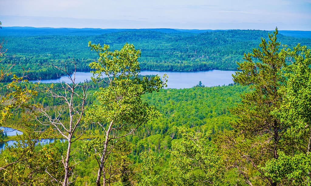
It is not possible to drive to the top of Eagle Mountain and you will need a permit to hike to the summit.
©Marina Hannus/Shutterstock.com
You cannot drive to the top of Eagle Mountain. The only way to reach the summit is via a strenuous hike along a remote trail. You will need a permit for the hike, which can be purchased at the Eagle Mountain Trailhead. Because of its isolated nature, hiking to the top of Eagle Mountain is something that requires advanced preparation and experience.
To hike to Eagle Mountain, start at the Eagle Mountain Trailhead along Forest Road 170. The hike is approximately 7 miles roundtrip, with the first section of the trail following forested lowlands. Along the way to the top, you’ll bypass Whale Lake, which is picturesque in its own right. The final section of the hike is the steepest, with about 550 feet in elevation gain. Eagle Mountain can be hiked at any time of the year. Winter travelers should ensure that they pack proper cold-weather gear.
Where Is Eagle Mountain Located on a Map?
Eagle Mountain is in northern Cook County in the Misquah Hills. Eagle Mountain Trailhead is around 20 miles northwest of Grand Marais and a little over 30 miles from Tofte.
There are two peaks with the name Eagle Mountain in Minnesota. The second is shorter and situated within the Lutsen Mountains ski resort.
Things to Do Near Eagle Mountain

You can explore Grand Marias Lighthouse, close to Eagle Mountain.
©Sam Wagner/Shutterstock.com
Though the highest point in Minnesota is relatively remote, that doesn’t mean there aren’t things to do nearby. First and foremost, outdoor lovers will find no shortage of wild lands to explore in the surrounding area. There are a few small towns nearby, including Grand Marais, home to the Grand Marais Lighthouse. In fact, you can drive Voyageur Highway (Hwy 61) along much of Lake Superior’s northern border.
The closest larger towns are Duluth and Superior, to the southwest. There, you’ll find the Karpeles Manuscript Library Museum, the Glensheen Mansion, and the Lake Superior Railroad Museum. Duluth is also home to the Duluth Lakewalk and the Duluth Children’s Museum. If you’re planning on taking a day trip to the highest point in Minnesota from Duluth, be sure to get an early start.
The Five Highest Points in Minnesota
We now know that Eagle Mountain, at 2,301 feet, is the highest point in Minnesota. Both the highest and second highest points in Minnesota are located in the Northern Minnesota Ranges. The second highest point in the state is Stony Tower Hill, which rises to 2,080 feet in elevation. At 2,005 feet elevation, the Height of Land Lookout is the third highest point in the state. It’s located in the Mississippi Headwaters region.
Both the fourth and fifth highest peaks in Minnesota are located in Sioux River Upland. The fourth highest point is the Lincoln County High Point, at 1,994 feet high. Finally, the fifth highest spot in Minnesota is the Pipestone County High Point, which measures 1,990 feet.
The photo featured at the top of this post is © R Kulawiak/Shutterstock.com
Sources
- , Available here: https://www.fs.usda.gov/recarea/superior/recreation/recarea/?recid=41628&actid=50
- , Available here: https://www.summitpost.org/eagle-mountain/151003
Thank you for reading! Have some feedback for us? Contact the AZ Animals editorial team.


