
In 2020, the population of Riverside County, California, was 2,418,185. It is the fourth-most populous county in the state of California and the tenth in the entire county. It is named for the county seat, the city of Riverside. In the recent past, it became one of the fastest-growing counties in the state as individuals flocked to the area to take advantage of affordable housing compared to other regions in California. The county was first formed in 1893, 23 years after its namesake city was founded.
The Indigenous peoples native to this area include the following:
- Serrano
- Payómkawichum
- Mohave
- Cupeno
- Chemehuevi
- Cahuilla
- Tongva
Riverside County is comprised of 7,303 square miles. It is roughly the same size as the state of New Jersey. It is home to a variety of diverse flora and fauna, including the endemic Blue oak (Quercus douglasii). But have you ever wondered what the highest point is in Riverside County?
The Highest Point in Riverside County
The highest point in Riverside County, California, is San Jacinto Peak. Also seen written as Mount San Jacinto, this peak sits at an elevation of 10,834 feet. Mt. Whitney, the highest point in California, is less than 4,000 feet taller than San Jacinto Peak at a maximum height of 14,505 feet.
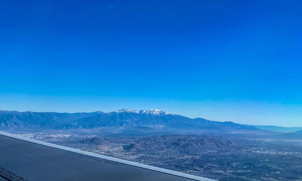
Due to its high elevations, San Jacinto Peak can often be seen with snow!
©iStock.com/Debora Vandor
Where Is San Jacinto Peak Located on the Map?
The city of Palm Springs is to the east of San Jacinto Peak; to the west, Idyllwild. When you are at the top of the peak, you can see San Gorgonio Mountain across the San Gorgonio Pass to the north.
San Jacinto Peak is a part of the San Jacinto Mountains, which are found within Mount San Jacinto State Park. Its geographical coordinates are 33°48′53″N 116°40′46″W.
When Should You Go to San Jacinto Peak?
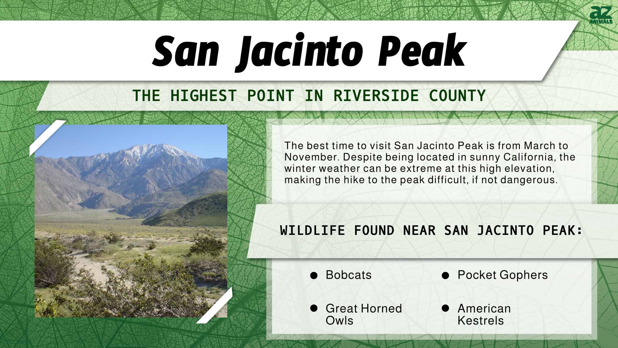
The best time to visit San Jacinto Peak is from March to November. Despite being located in sunny California, the winter weather can be extreme at this high elevation, making the hike to the peak difficult, if not dangerous. During the later fall months, you’ll be able to enjoy the colors as the seasons shift in the mountainside.
There have been reports of some snow patches closer to the peak, even in July. However, for those sticking to the marked trails, there should be no problem. If you’re seeking a thrilling hike outside of the peak months, it is recommended to bring microspikes, as snowy conditions can be difficult to navigate.
If you plan to go to San Jacinto Peak, please look further into the local rules and regulations before your trip. A day pass may be required, and, in some areas, dogs are not allowed.
Can You Drive to San Jacinto Peak?
Unfortunately, you cannot reach the highest point in Riverside County by car. However, there are other methods besides hiking if you’d like to see the views that San Jacinto Peak has to offer. It is important to note that some hiking will be required to reach the peak; otherwise, without hiking, you’ll be able to reach up to around 8,500 feet.
First, you may drive up part of the mountain. US Highway 243 will lead up the mountain to the Marion Mountain Trailhead at about 5,500 feet. From this location, you can hike the rest of the way to the peak. The hike to the peak can be strenuous and takes around nine hours.
The second option, aside from hiking the entirety of the mountain, is to take the Palm Springs Aerial Tramway. This will take you to 8,500 feet, allowing you to hike the remaining distance to San Jacinto Peak.
What Is There to Do at San Jacinto Peak?
San Jacinto Peak offers a wide variety of ways to enjoy the natural beauty of the highest point in Riverside County.
First, as mentioned above, there is both hiking and driving and the tramway. This allows you to enjoy the best of the mountain’s elevated views. There are also several campsites surrounding the mountain where you may camp. RVs of specific lengths are accepted in some areas, so check before your arrival.
Some of the activities you can take place in at San Jacinto Peak include the following:
- Photography
- Birdwatching
- Biking
- Camping
Wildlife Near the Highest Point in Riverside County
Riverside County and San Jacinto Peak are rich with a wide diversity of wildlife.
For birds, you may come across a variety of passerines, birds of prey, and waterfowl. Some of the most popular sights are American kestrels, mountain bluebirds, great blue herons, and great horned owls. You may also see different mammals, such as coyotes, weasels, pocket gophers, and bobcats. There are also several reptiles to be aware of, such as the California king snake.
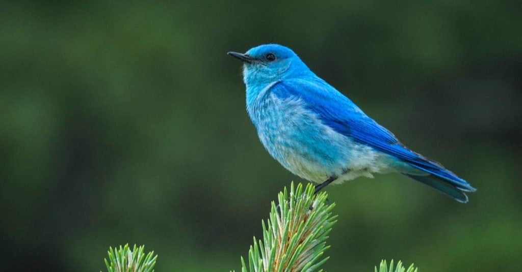
If you’re lucky, during your visit to the highest point in Riverside County, you may be able to spot the beautiful
mountain bluebird
.
©MTKhaled mahmud/Shutterstock.com
The photo featured at the top of this post is © iStock.com/Debora Vandor


How to Add Us to Google News


Thank you for reading! Have some feedback for us? Contact the AZ Animals editorial team.