
The Brazos River in Texas is one of the longest rivers in the United States, but just how deep is it? Let’s look at the Brazos River and learn about its physical characteristics, location, and ecology. Plus, we’ll learn about its history as a river and the importance of it over the years.
How Deep is the Brazos River?
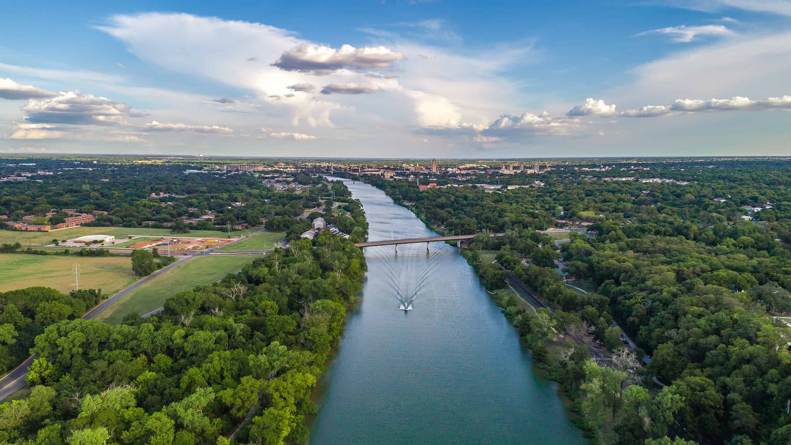
The average depth of the Brazos River is around 2-5 feet, with some deeper holes occasionally reaching 20 feet.
©Hundley Photography/Shutterstock.com
The Brazos River has a variable depth that changes according to the season and water flow, especially in relation to the dams located on the river. The depth averages between 2-5 feet most of the way, but there are some deep holes 12-20 feet deep in several areas.
The depth also changes daily between low flow and when the hydroelectric dams generate power. Near the mouth of the river, where it meets the Gulf of Mexico, the depth of the channel is more than 20 feet, although it didn’t occur naturally. Instead, it was intentionally dug out by the U.S. Army Corps of Engineers.
Where is the Brazos River Located

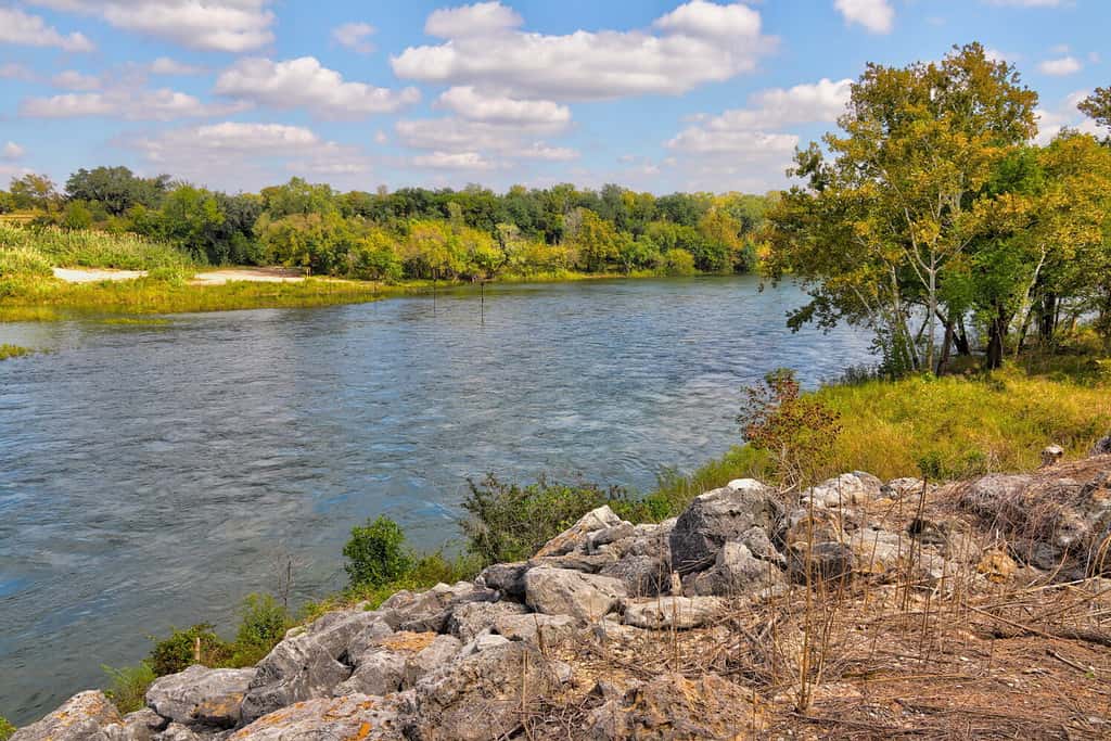
The river starts near Blackwater Draw and ends in the Gulf of Mexico.
©davisdeatonphotography/Shutterstock.com
The Brazos River is located in the United States, with the vast majority of it flowing through the state of Texas. The headwaters of the river begin at the confluence of the Salt Fork and Double Mountain fork near the border of New Mexico and western Texas around Lubbock, although the river exists before then but isn’t considered the Brazos “proper.
From there, the Brazos River flows southeast through the Llano Estacado, an incredibly large plains region sometimes called the “Staked Planes” after Spanish explorers started using wooden stakes to mark places in the huge open area (the precursor equivalent to “dropping a pin” on Google!).
The Brazos River then cuts through the Caprock Escarpment, which is a steep slope that separates the Llano Estacado from the lower plains. The Caprock Escarpment is a natural barrier that creates a dramatic change in elevation and scenery. The Brazos River forms several canyons and waterfalls as it descends from the escarpment.
The Brazos River continues to flow southeast through the Texas Hill Country, which is a region of rolling hills and valleys that covers central and south-central Texas. Then, it passes by (or through) several landmarks in the area, including Possum Kingdom Lake, Lake Granbury, Lake Whitney, Waco, Baylor University, San Felipe de Austin, and Washington-on-the-Brazos.
Finally, the journey of the Brazos River finally ends as it empties into the Gulf of Mexico at Freeport. The mouth of the river is about 20 miles south of Galveston Island.
How Long is the Brazos River?
The Brazos River is one of the longest rivers in Texas and the 14th-longest river in the United States, with a total length of about 1,280 miles.
Additionally, the river has a discharge rate of 8,390 cu ft/s, although when the dams are fully open this can peak at an impressive 84,000 cu ft/s. The large lakes and dams along the Brazos River have a lot to do with the depth and the overall discharge of the river since they can control flow rates.
On top of the discharge rate, the total watershed of the river is around 46,000 miles, within which are 42 lakes and rivers totaling 2.5 million acre-feet of water. Essentially, the Brazos is a very important river for all sorts of things in Texas. Around 31% of the land in the watershed is for crops, with 4.6% of the watershed being urban area.
The Ecology of the Brazos River
Wildlife
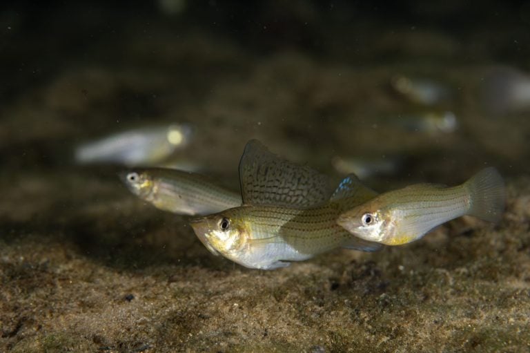
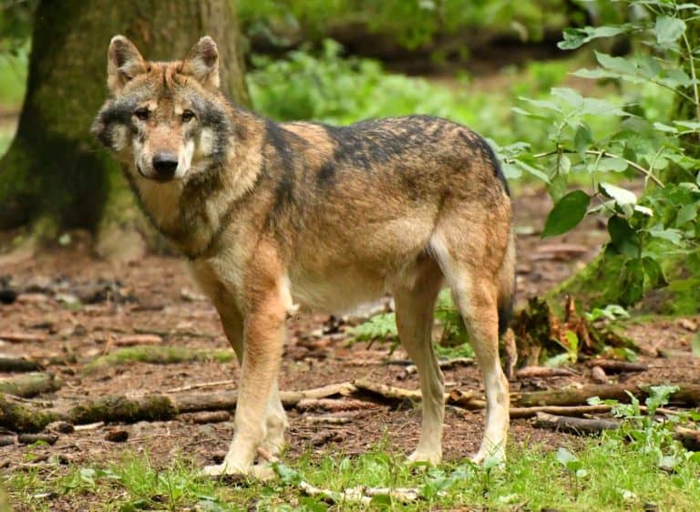
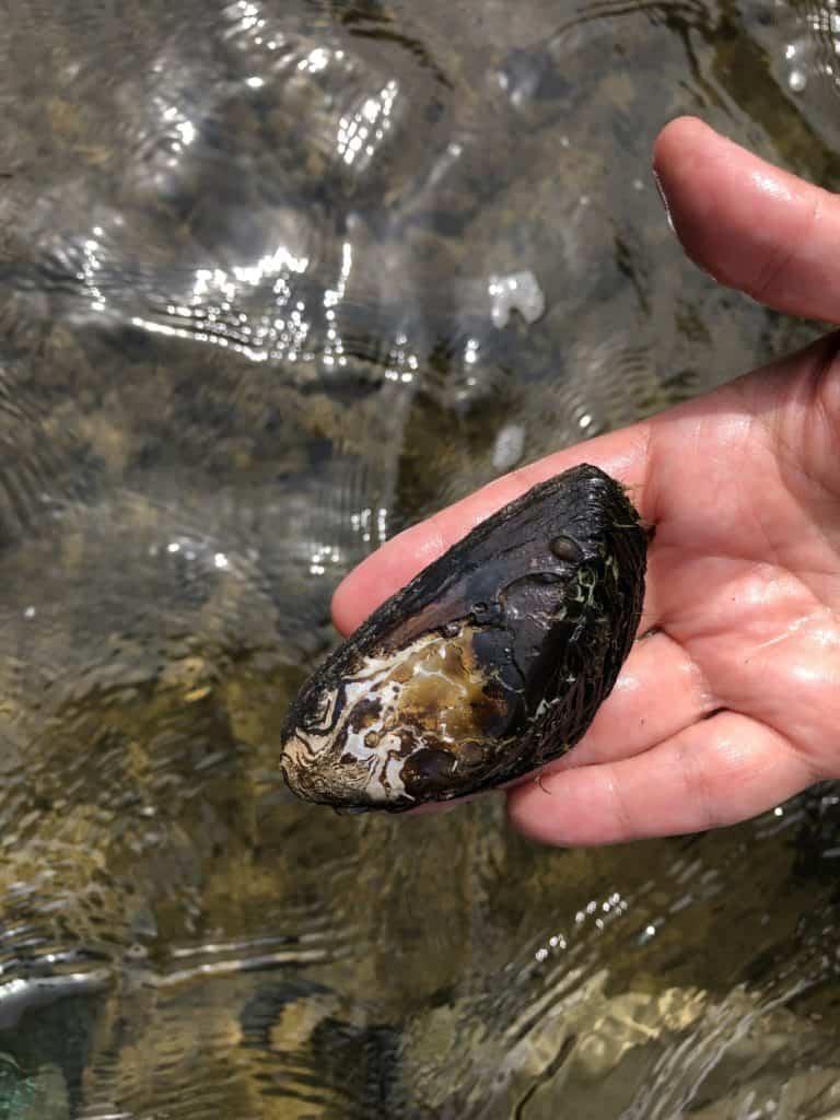
Like most rivers, the Brazos River is a gathering point for wildlife around the area, and an important ecological resource for aquatic creatures itself. Some of the most common fish species are catfish, crappie, gar, and freshwater drum. Even more, there are species of fish that are endemic (they only live in the Brazos), with the Brazos shiner being one of the most notable examples. Besides fish, there are also dozens of species of mussels, crayfish, and snails.
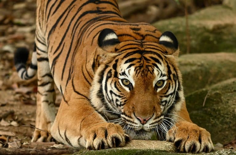
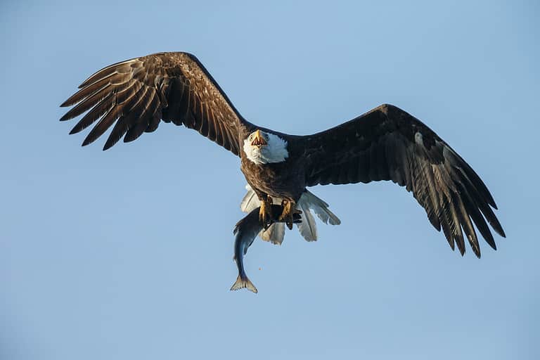
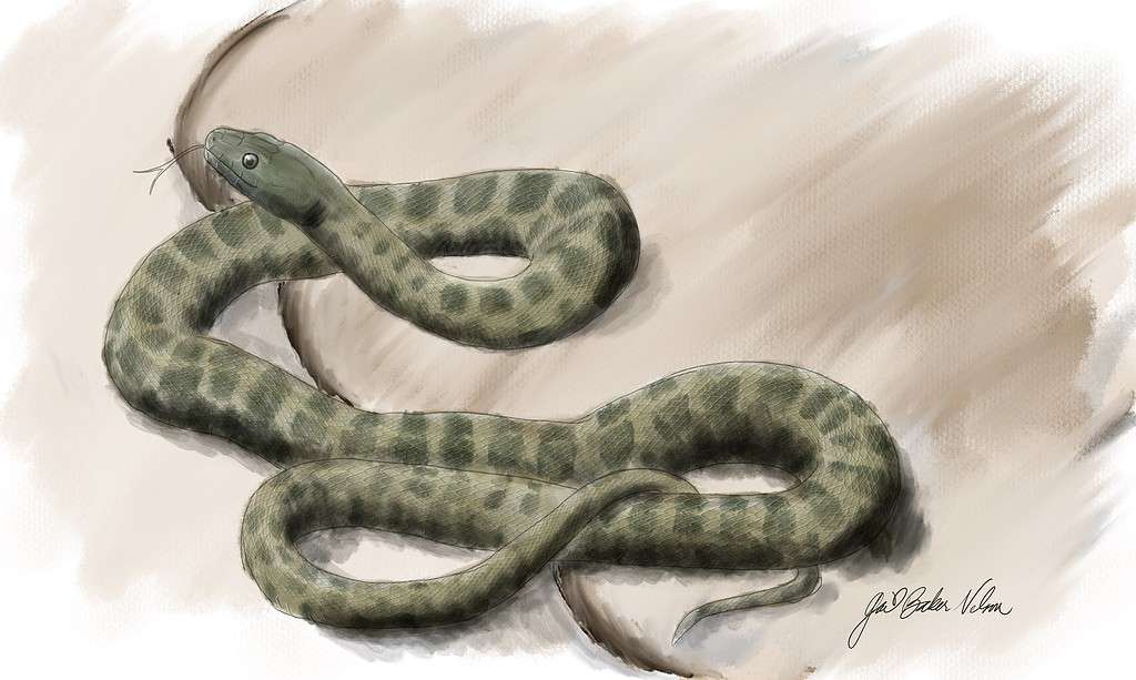
The scrub and forests along the river are a gathering place for birds, mammals, reptiles, and amphibians. Some of the most common birds include herons, egrets, owls, woodpeckers, and ducks. Additionally, the classic mammals that are found across most of Texas, the Brazos included, are bobcats, foxes, white-tailed deer, raccoons, and feral hogs. Another endemic species, the Brazos water snake, is located exclusively in the upper Brazos and is currently threatened.
Landscape
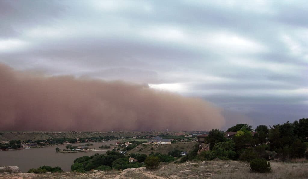
Dust storms are common across the LLlano Estavado, otherwise known as the Staked Plains.
The Brazos River is long, and as such, it spans different regions and landscapes of Texas (of which there are many). The initial stages of the Brazos mostly take it through arid plains known as the Staked Plains. The Staked Plains is one of the largest mesas in North America and is known for its dust storms and extreme temperatures. From there, the river then enters a region known as the lower plains after a steep drop-off region.
The Brazos River continues to flow southeast through the Texas Hill Country, which is a region of rolling hills and valleys that cover central and south-central Texas. Compared to the Staked Plains region, this area is lusher, but still mostly savannah.
The Brazos River finally empties into the Gulf of Mexico after crossing the coastal plain of Texas. Here, the river expands, and the landscape turns from savannah into one of three landscapes, depending on the location: the humid forested plains of East Texas, the humid prairies of, and the subhumid plains of South Texas.
The History of the Bravos River

Through cultures and people groups, the Brazos River has been essential for the people of Texas before the region was even named it.
©U.S. Army Corps of Engineers / Public Domain – Original
The Brazos River has a long history that spans as far back as prehistory to as recent as today. On a brief timeline, the river has been essential, starting with:
- the Native Americans
- the Spanish explorers
- American settlers
- And finally, the Texans
The river has also played a significant role in the development of Texas and a few of its major urban areas today.
The earliest written history of the Brazos River dates back to the 17th century. Back then, it was called the Tokonohono, meaning “big water” in the Native American tongue. The river was later named by the Spanish explorers “Río de los Brazos de Dios”, which translates to “The River of the Arms of God.”
The Brazos River was also confused with the Colorado River by some early explorers. The most famous example was probably René-Robert Cavelier, Sieur de La Salle (although most people know him just as “La Salle”). La Salle was a French explorer who attempted to establish a colony near the mouth of the Mississippi River but ended up near the Gulf Coast of Texas. He called the Brazos River “Maligne” (evil) and he was killed by his own men right near its banks in 1687.
The Brazos River became one of the major Anglo-American settlement sites in Texas in the early 19th century. Stephen F. Austin founded one of the first English-speaking colonies at San Felipe de Austin in 1822. Shortly after, the Brazos River was also a major site of Texas independence from Mexico in 1836. The rebellion declared their independence from Mexico at Washington-on-the-Brazos, a place on the river that’s today known as “the birthplace of Texas.”
After Texas’ annexation, the river was used by steamboats to transport people and things across the banks, especially cotton. More recently, the river also underwent several changes from things like dams and canals, drastically altering its natural flow.