
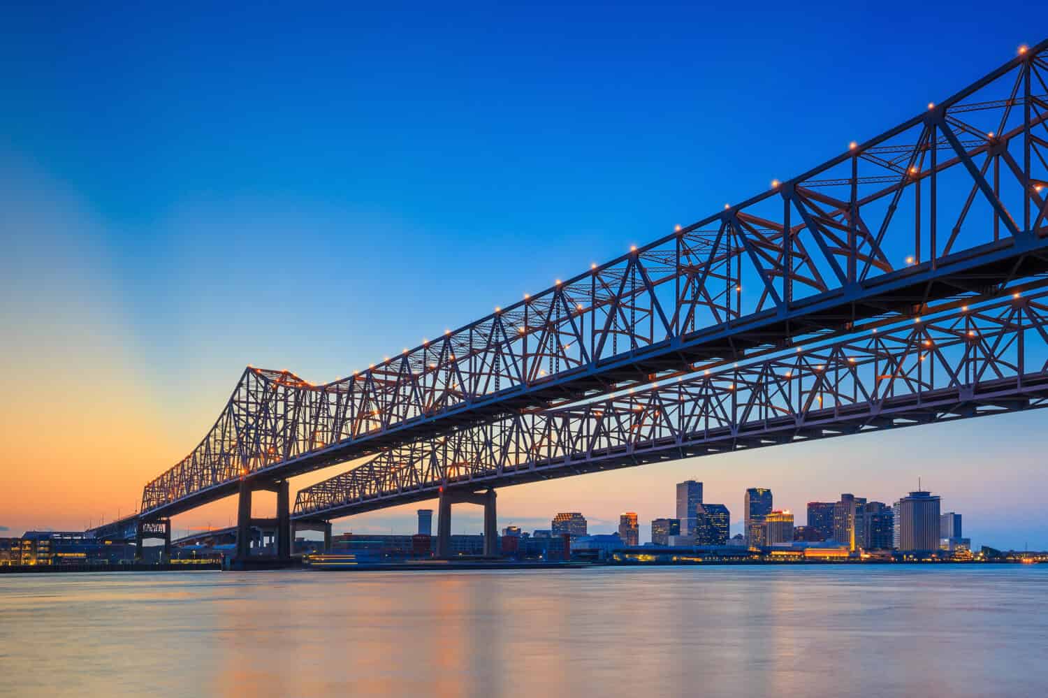
New Orleanians are bracing for a water crisis. The city’s mayor, LaToya Cantrell, already signed an emergency declaration back in September; President Biden has just recently approved the Governor’s request for an emergency declaration; and residents have been panic-buying water supplies for a while.
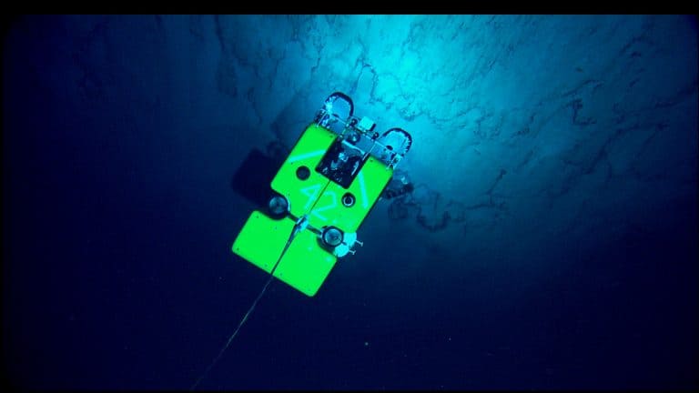
The current state is largely a consequence of the effects of climate change and various human activities, like mining, on the Mississippi River. Now, saltwater from the Gulf of Mexico is creeping up this once mighty river — and threatening to pollute the water supplies of the city and its almost 400,000 residents.
To understand why New Orleans is facing this crisis, it’s essential to understand the current state of the Mississippi River, especially its water levels.
How Deep Is the Mississippi River Near New Orleans?
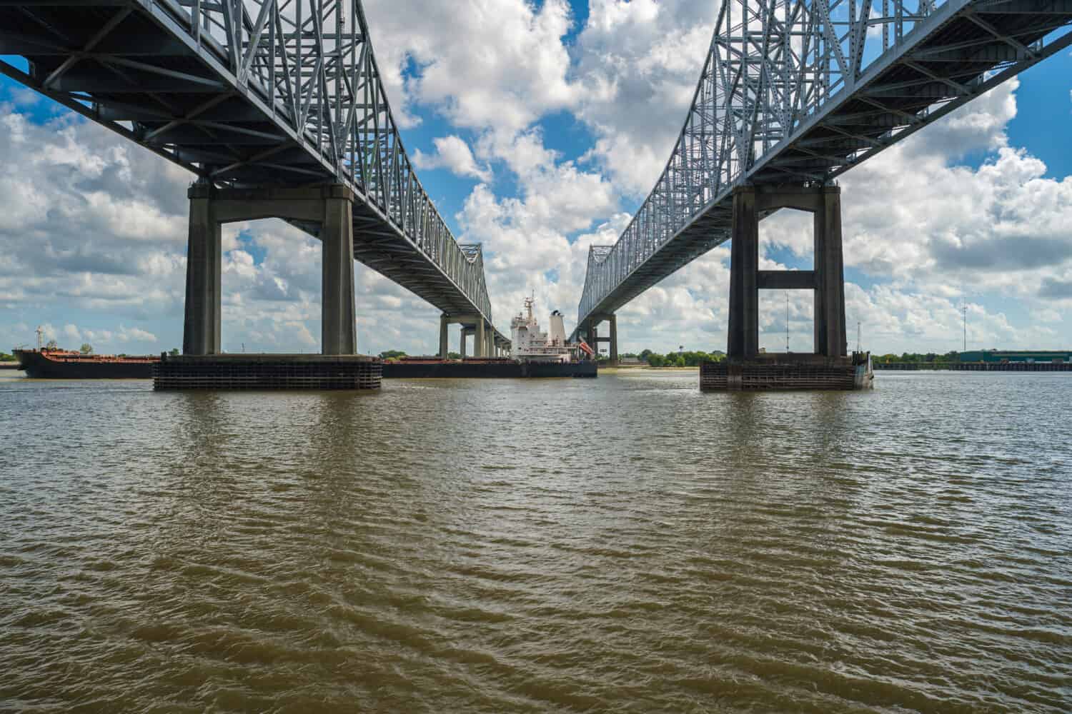
The Mississippi River near New Orleans reaches 200 feet deep, but this is the river’s deepest point — not its average depth. So, what we need to consider instead are the water levels measured at official gauge stations, such as the one located at the Corps of Engineers’s dock in Carrollton, New Orleans. The water levels measured here are especially important since the Carrollton plant plays a vital role in providing the city with drinking water.
The latest observed depth there is just 3.60 feet at the moment of writing (October 5th, 2023). Of course, the depth will depend on weather conditions and vary by area, but this should give us a general idea of the current state of the river.
For reference, the average depth of the Mississippi River generally ranges between nine and 12 feet.
Mississippi River Near New Orleans: Historic Water Levels
The below list shows water levels on October 5th over the last 10 years, as measured at the Carrollton gauge station:
- October 5th, 2022: 3.12 feet (lower than at the moment of writing)
- October 5th, 2021: 4.29 feet (higher than at the moment of writing)
- October 5th, 2020: 4.54 feet (higher than at the moment of writing)
- October 5th, 2019: 6.12 feet (higher than at the moment of writing)
- October 5th, 2018: 9.24 feet (higher than at the moment of writing)
- October 5th, 2017: 3.61 feet (higher than at the moment of writing)
- October 5th, 2016: 4.91 feet (higher than at the moment of writing)
- October 5th, 2015: 3.04 feet (lower than at the moment of writing)
- October 5th, 2014: 3.31 feet (lower than at the moment of writing)
- October 5th, 2013: 3.11 feet (lower than at the moment of writing)
We should, of course, keep in mind that water levels on a particular day won’t give us the full picture. However, even this small comparison shows that they’re plummeting for the second year in a row, and experts who have studied them in more depth agree.
The Problem Is (At Least) Twofold
“A river doesn’t just carry water, it carries life.” – Amit Kalantri
©f11photo/Shutterstock.com
There are at least two major factors that have contributed to the current situation in New Orleans.
- The Mississippi River Delta is the fastest-shrinking delta in the world. It is losing land, which also means the physical buffer between the Gulf of Mexico and New Orleans is reduced and simultaneously increases the risk of saltwater intrusion.
- Experts expect the Mississippi River to hit record lows for the second consecutive year. According to Governor John Bel Edwards, significant rainfall is not expected for several months, which further increases the chances of saltwater intruding into the river.
Some, however, still hope that New Orleans will manage to dodge the water crisis. Beyond that, we should also hope to combat the root causes of the issue soon.