
Maine is a beautiful New England state that boasts a lot of beautiful views and experiences. It is the Northeasternmost state in the United States and contains the end of the Appalachian Trail. There are a number of beautiful mountains in Maine, and today we’ll – figuratively – climb one of them. Let’s explore one beautiful peak in Maine – Mount Katahdin. We’ll learn a couple of things about this peak but we’ll mainly be focused on one question: “How tall is Mount Katahdin?”
How Tall is Mount Katahdin?
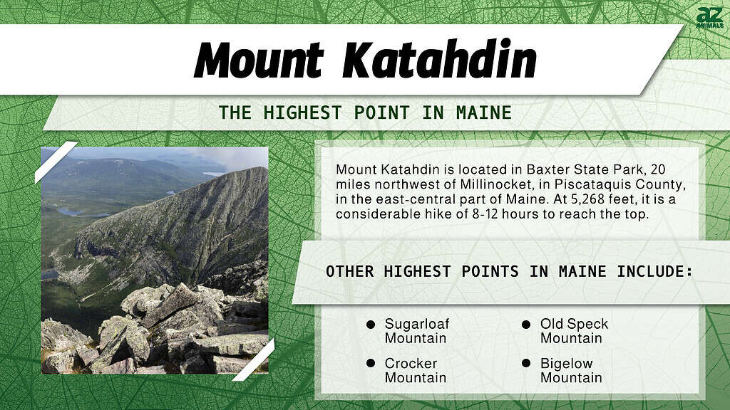
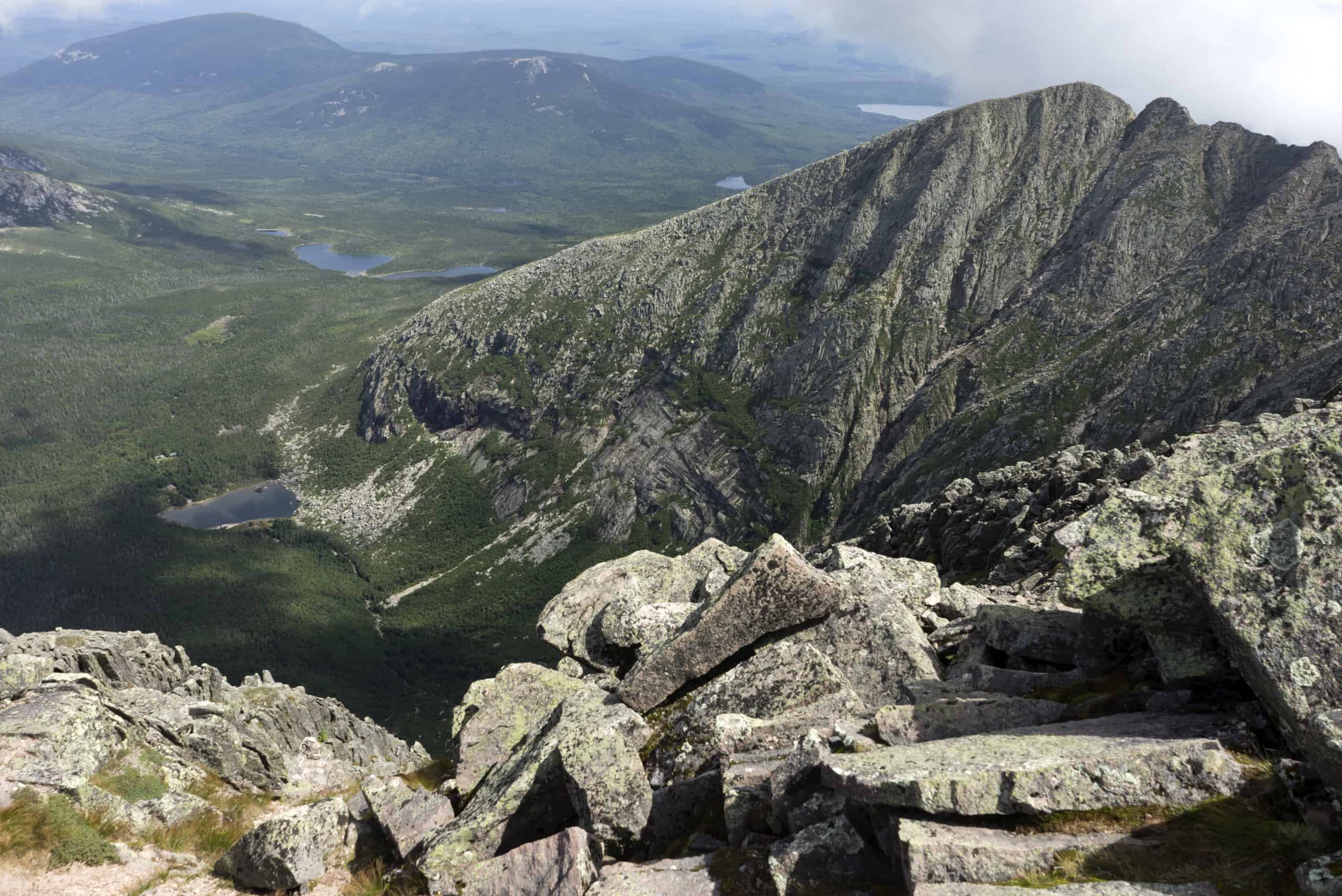
Mount Katahdin is the highest peak in Maine, with an elevation of 5,269 feet. This may seem small in comparison to some of the more western peaks in the United States – like the 14,505 towering feet of Mount Whitney – but don’t underestimate it. This mountain is considered one of the most challenging summit hikes in the United States. The mountain has a prominence of 4,288 feet. That means this mountain towers over the surrounding geography easily and impressively. Let’s compare this mountain to other mountains in Maine.
| Mountain | Elevation | Prominence |
|---|---|---|
| Mount Katahdin | 5,269 feet | 4,288 feet |
| Sugarloaf Mountain | 4,237 feet | 3,180 feet |
| Crocker Mountain | 4,229 feet | 1,214 feet |
| Saddleback Mountain | 4,121 feet | 2,448 feet |
| North Brother Mountain | 4,150 feet | 1,243 feet |
Where is Mount Katahdin on a Map?
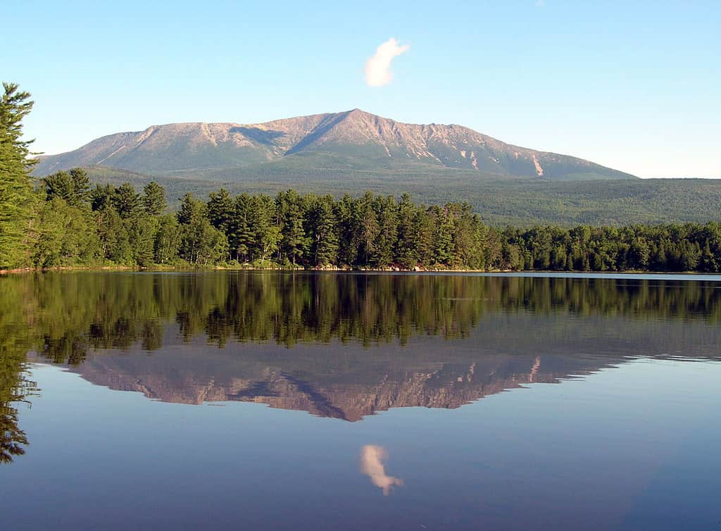
The name “Katahdin” translates to “Greatest Mountain” in the Penobscot language.
©Sandra S Newman/Shutterstock.com
Let’s take a look at Mount Katahdin on a map. This helps us get a better idea of where it is and what its features are.
By exploring this map, you can see that Mount Katahdin is close to a couple of other mountain peaks. How far is this mountain from major cities in Maine? Since the mountain is in the middle of Baxter State Park, it’s pretty isolated. Bangor, the capital city of Maine, is about 96.3 miles away from Katahdin – or a two-hour drive. Portland, Maine, is a bit further south – 225 miles southwest, to be exact. The average travel time from Portland to Mount Katahdin is about three hours and 51 minutes.
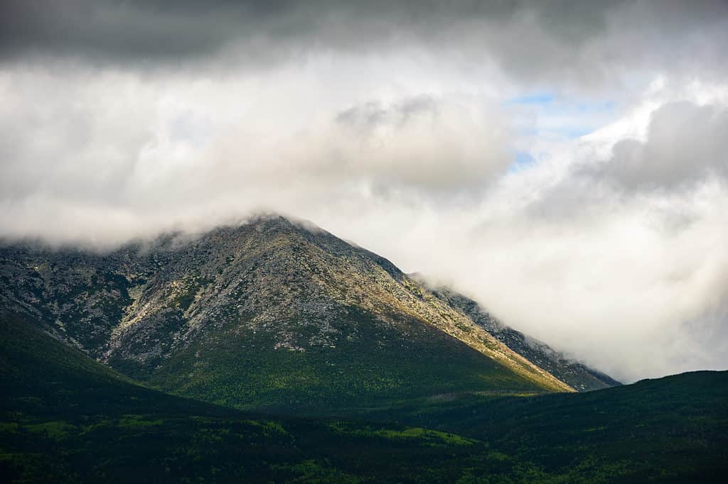
Can I Hike Mount Katahdin?
©Zack Frank/Shutterstock.com
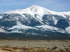
There are several trails that will lead you to the summit of Mount Katahdin, and all of them are very strenuous. The hike requires an elevation gain of about 4,000 feet. Most climbers recommend the Chimney Pond Trail to the Saddle Trail for the easiest ascent, but this is still an incredibly challenging route. The route is a 9.8-mile loop with an elevation gain of 3,917 feet. The Friends of Baxter Website estimates that the average trip to the summit will take 8-12 hours roundtrip. Here are just a couple of the hikes you can take to get to the top.
- Mount Katahdin via Hunt Trail is a 10.9 miles out-and-back route with an elevation gain of 4,258 feet.
- Abol Trail is an 8.1-mile out-and-back trail with an elevation gain of 3,969 feet.
- Mount Katahdin and Hamlin Peak Loop is an incredibly challenging 11.4-mile loop with an elevation gain of 4,455 feet.


How to Add Us to Google News


Thank you for reading! Have some feedback for us? Contact the AZ Animals editorial team.