
Although it isn’t known for its frigid temperatures, the state of Georgia can experience some cold snaps in certain parts of the state. The northwestern parts of the state tend to be the coldest due to the higher elevation in the Appalachian mountains. Many of the coldest places in Georgia are in the mountainous northern part of the state. This is also the location of the state’s highest mountain peaks. Because of this higher elevation, temperatures are often a few degrees cooler at the summits than in the surrounding regions below. But even temperatures in the entire county can be colder than in other parts of Georgia, which are further south and lower in elevation. So the next time you plan a trip to The Peach State make sure to pack a jacket if you want to check out one of these cool spots.
1. Roswell
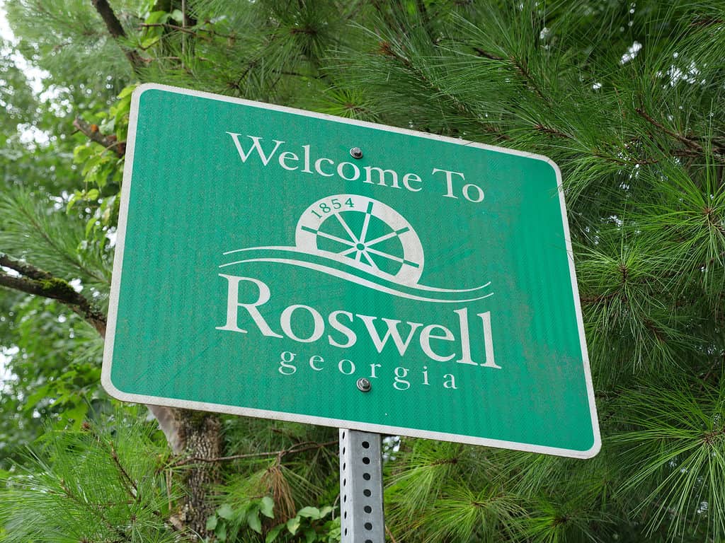
Roswell, Georgia is north of Atlanta and has some of the coldest average temperatures in the state.
©iStock.com/albertc111
As the coldest place in Georgia, the town of Roswell just outside of Atlanta has some of the coldest average temperatures in the state. Summer temps can get into the low 90s and winter temperatures dip to around 35 degrees Fahrenheit.
Roswell is a suburb of Atlanta and home to around 92,000 people. It is directly north of the city center and northeast of nearby Marietta. Founded in the early 1830s as a center for cotton production and processing, Roswell grew up to the Civil War as an agricultural town. After the Civil War, it continued to play a role in the cotton industry. Today, you can tour one of the historic sites in Roswell, enjoy its many parks, or check out the wildlife at the Chattahoochee River National Recreation Area.
2. Floyd County
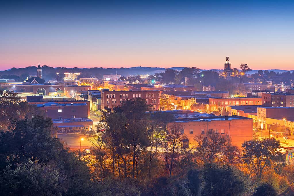
Rome, Georgia is the county seat of Floyd County and has a picturesque historic downtown area.
©Sean Pavone/iStock via Getty Images
The coldest temperatures in the state were recorded in this county. On January 27, 1940, temperatures reached -17 degrees Fahrenheit! This is almost unheard of in Georgia and was the result of snow and cold air. This part of Georgia is sometimes called “The Pocket” due to its topography. It is a valley with Horn Mountain and Mill Mountain on either side. This creates the perfect place for cold air to get trapped, which is exactly what happened in January 1940.
Around 100,000 people live in Floyd County and Rome, Georgia is its largest city and county seat. The city was built in the 1830s on numerous hills surrounding the Etowah, the Oostanaula, and the Coosa Rivers. Due to its location near the river routes, it became an important site for trade and commerce in northwestern Georgia, which greatly impacted its growth in its early years.
3. Rabun County
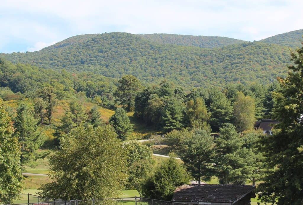
The hike to the top of Rabun Bald is easy to follow but does include some steep inclines.
©Thomson200 / Creative Commons – License
Temperatures in this county in the northeastern corner of Georgia average 58.2 degrees Fahrenheit over the year. The winters are not extremely frigid but the mild summer temps, often staying in the low 80s even at the height of the summer in July and August, bring the overall averages down. This is mainly due to the higher elevation in the area. It is part of the Eastern Continental Divide and home to some pretty impressive peaks. Rabun Bald is 4,969 feet high and the second-highest peak in the entire state.
Rabun County also gets a lot of rain, averaging around 70 inches each year. It is around 377 square miles total and a lot of that land is protected forest. The Chattooga River forms the northern border of the county which is also the border between Georgia and South Carolina. The Chattahoochee-Oconee National Forest also makes up a large portion of the forested land in the county. This county is more rural than some others on our list and only has around 17,000 residents in total.
4. Towns County
You can enjoy spectacular views from the top of Brasstown Bald, the highest peak in Georgia.
©A-Z-Animals.com/Ashley Haugen
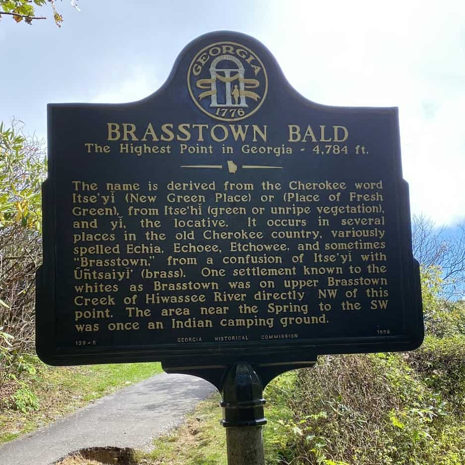
Located in northeastern Georgia is Towns County. Daily average temperatures in this region are as low as 57.5 degrees Fahrenheit. Like its neighbor Rabun County, Towns County has a high elevation and is part of the Blue Ridge Mountains. Brasstown Bald is the highest peak in the state and is located in the southern part of Towns County. It rises a staggering 4,784 feet high. From its peak, you can see Georgia, North Carolina, South Carolina, and even Tennessee. It truly is a magnificent place but make sure to pack a jacket because temperatures at the top are usually 5 or 10 degrees cooler than at the base or in the surrounding areas.
| Number | City/County |
|---|---|
| 1 | Roswell |
| 2 | Floyd County |
| 3 | Rabun County |
| 4 | Towns County |
The photo featured at the top of this post is © RodClementPhotography/Shutterstock.com


How to Add Us to Google News


Thank you for reading! Have some feedback for us? Contact the AZ Animals editorial team.