
Virginia is a special state, known for its wilderness areas, wildlife, and diverse landscapes. While northern Virginia is full of bustling cities and suburbs, some of the most remote spots in Virginia rest among the Blue Ridge Mountains and along the sprawling coastline. Ready to discover 11 of the most remote places in Virginia? Let’s begin with a hidden gem in the southwestern part of the state.
1. Beartown Wilderness
Roaring Branch Trail is a remote hiking trail in Beartown Wilderness.
©UnsulliedBokeh/Shutterstock.com
Location: Eastern Tazewell County
Coordinates: 36.8835339° N, -82.7874541° W
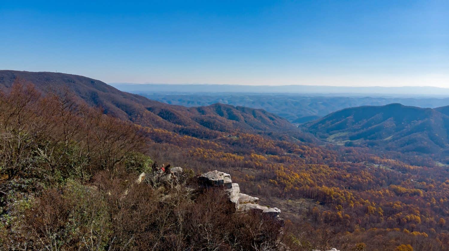
This unique stretch of wilderness is home to streams, unique flora, and a hidden bog home to rare species.
The main attraction is the remote 8.8-mile Roaring Branch Trail that winds through Beartown Wilderness. Park by the trailhead or in gravel pull-offs along US-23, but take care crossing the highway to reach the start — a set of stone stairs.
2. Hidden Valley Lake
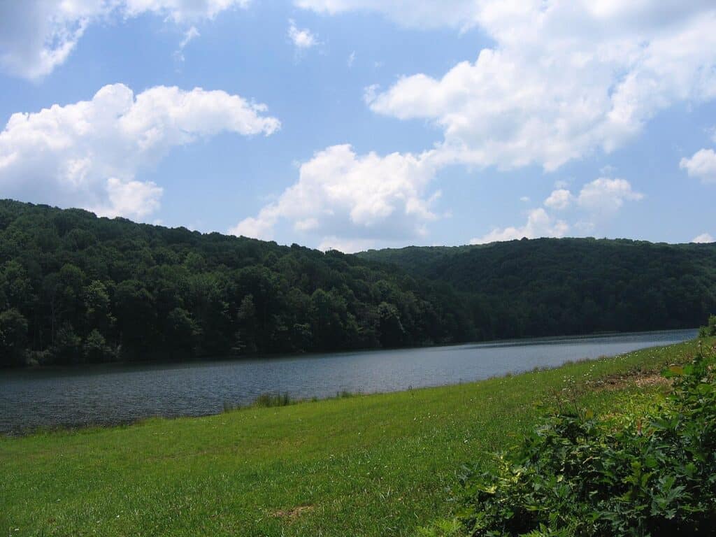
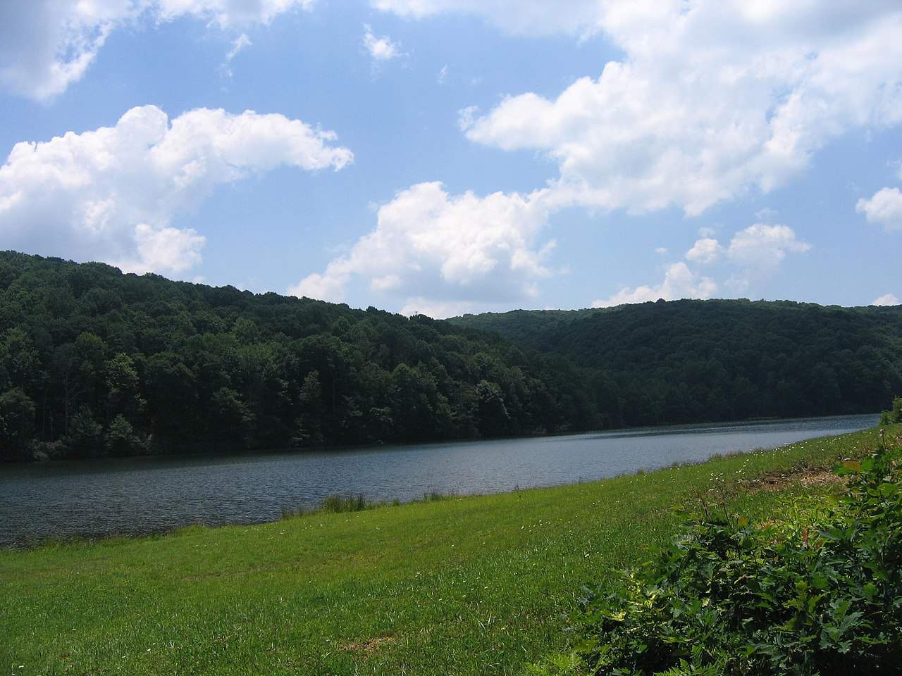
Hidden Valley Lake is in the mountainous Hidden Valley Wildlife Management Area.
Location: Washington County
Coordinates: 38.8080° N, 122.5583° W
If you want an off-the-beaten-path adventure, a trip to Hidden Valley Lake is it. The remote lake is 61 acres within a much larger wilderness area, making it one of the most remote spots in Virginia.
To get to the lake for boondocking or fishing, you have two options:
- Drive to the nearby parking lot (must request an access permit first)
- Hike a 4.5-mile trail
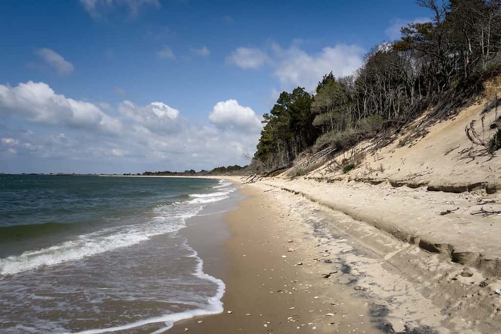
3. The Virginia Coast Reserve
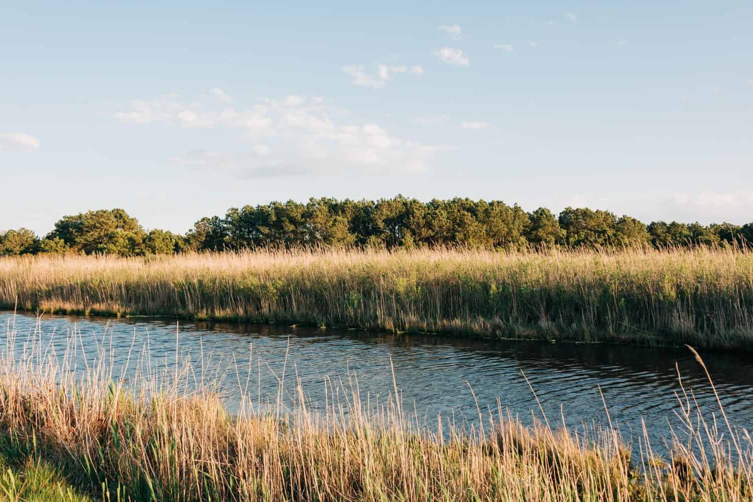
The marshlands of the Virginia Coast Reserve protect the locals from storm surges.
©Jon Bilous/Shutterstock.com
Location: The Eastern Shore
Coordinates: 37.4209° N, 75.6874° W
The Virginia Coast Reserve is a series of 14 islands on the Eastern Shore. The islands are undeveloped, allowing a delicate ecosystem to form among the dynamic landscape of the area.
To access the most remote islands in Virginia, head to the Brownsville Preserve’s William B. Cummings Birding and Wildlife Trail. This 2.8-mile trail leads you right to the coastline.
4. Clinch Mountain Wildlife Management Area
Clinch Mountain Wildlife Management Area is popular for hiking as well as trout and bass fishing.
©J. Adam Hamilton/Shutterstock.com
Location: Russell County
Coordinates: 36.9445577° N, -81.8251201° W
Located out in the “boonies” of Russell County sits the Clinch Mountain Wildlife Management Area. Within it, a picturesque 330-acre lake boasts excellent conditions for trout and bass fishing.
To reach this remote spot, start in the nearby town of Saltville. Turn left onto Route 91 (0.25 mile) then right onto Route 634. Bear left onto 613 and in 3.5 miles, turn right onto Route 747 and you’re in the area!
5. Saint Mary’s Wilderness
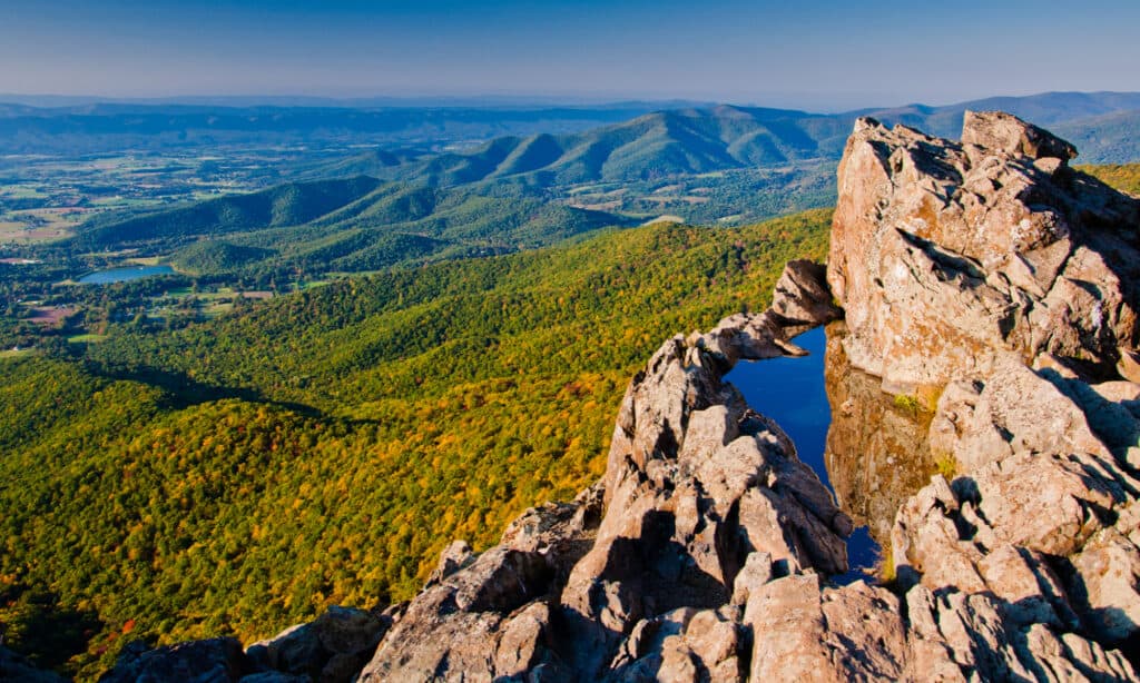
The Blue Ridge Mountain range extends across eight states.
©Jon Bilous/Shutterstock.com
Location: Augusta County
Coordinates: 37.9251° N, -79.1377° W
If you want to find the most remote places in Virginia, look no further than in the Blue Ridge Mountains. Saint Mary’s Wilderness sits on 10,000 acres and offers 17 miles of hiking trails.
To get to one secluded hike, take I-81 South to exit 213A. Turn left onto Dabney’s Rd, turn left onto State Route 608 (Cold Springs Rd), then turn right onto St. Mary’s Rd. Trailhead parking is at the end of this road!
6. Natural Tunnel State Park
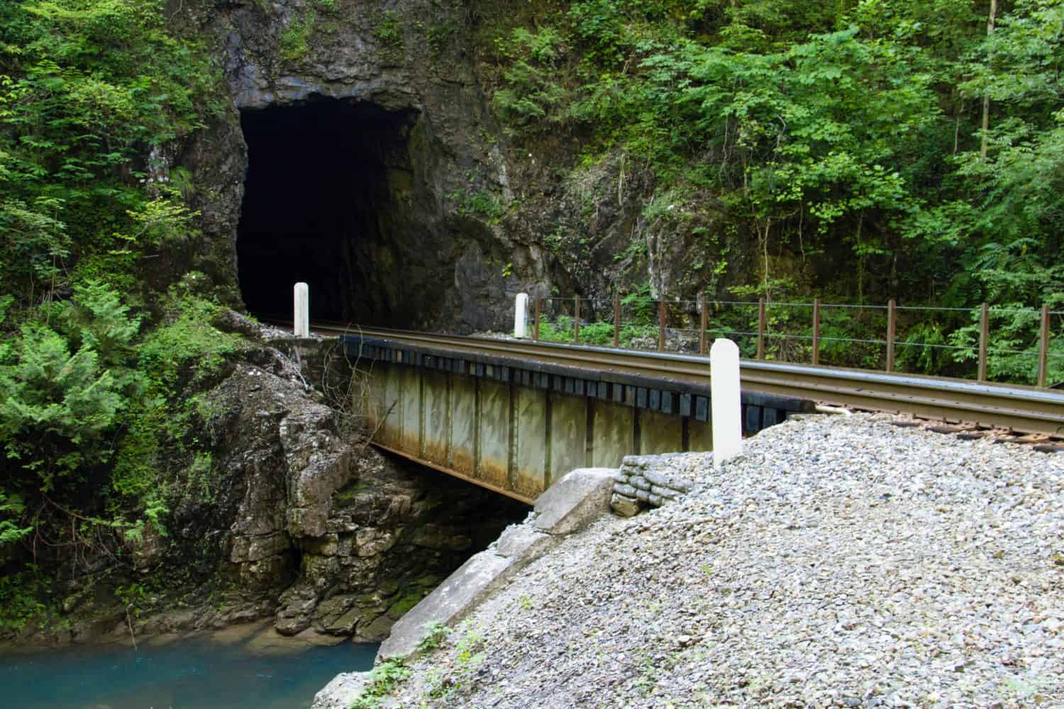
This tunnel was dubbed the “Eighth Wonder of the World” by William Jennings Bryan.
©ehrlif/Shutterstock.com
Location: Scott County
Coordinates: 36.6996° N, 82.7420° W
This park features a tunnel carved through the limestone ridge naturally over thousands of years. At 850 feet long and 10 stories high, this is a remote place in Virginia to cross off your bucket list.
The park is accessible by taking I-81. From there, take Route 23 North to mile marker 17.4. From there, turn off onto Natural Tunnel Parkway and travel about one mile east to the park entrance.
7. Tangier Island
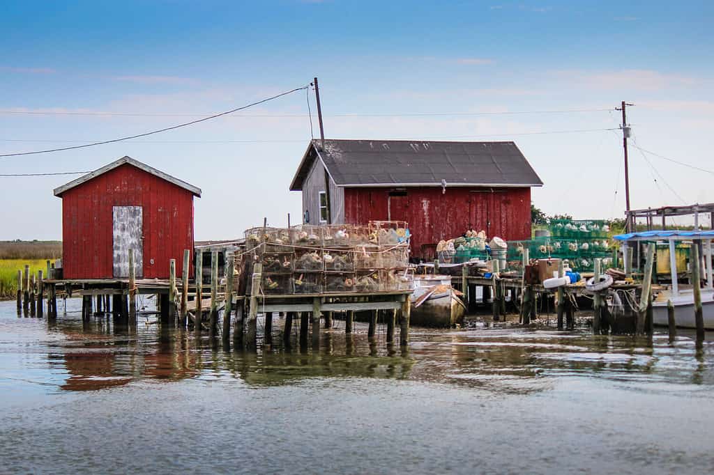
The only way to access Tangier Island is by air or sea.
©Nicole R Young/Shutterstock.com
Location: Accomack County in the Chesapeake Bay
Coordinates: 37.8244° N, 75.9929° W
This secluded island located 12 miles into the Chesapeake Bay is only accessible by boat or plane. To explore one of the most remote places in Virginia, you have three options:
- Take the Tangier Ferry out of the Onancock Wharf
- Pilot your boat
- Fly into Tangier Airport with a private charter
8. Kiptopeke State Park
Kiptopeke State Park is located on the Eastern Shore of the Chesapeake Bay.
©Cavan-Images/Shutterstock.com
Location: Southern end of the Eastern Shore
Coordinates: 37.1703° N, 75.9810° W
Also located on the Chesapeake Bay, Kiptopeke State Park features 562 acres of unique coastal habitats and recreation areas.
Kiptopeke is off Route 13, three miles from the northern end of the Chesapeake Bay Bridge-Tunnel. From there, turn west onto Route 704 and the park entrance is .5 miles away.
9. Devil’s Bathtub
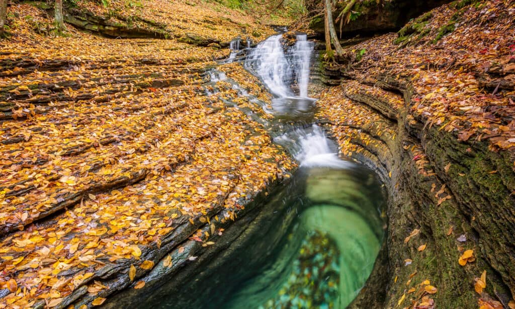
Fall leaves blanket the Devil’s Bathtub in Southwestern Virginia.
©anthony heflin/Shutterstock.com
Location: Scott County
Coordinates: 36.819106° N, -82.628852° W
If you want to hike a well-known trail that’s known for being in a remote and isolated part of the state, look no further than Devil’s Bathtub.
The parking lot is .5 miles from the trailhead. From the lot, walk up High Knob Road around the bend. Turn left to stay on High Knob Road and look for signs for Devil’s Bathtub. Keep walking until you get to a gravel road. Turn left and you’ll see the start of the trail up ahead!
10. Virginia Creeper Trail
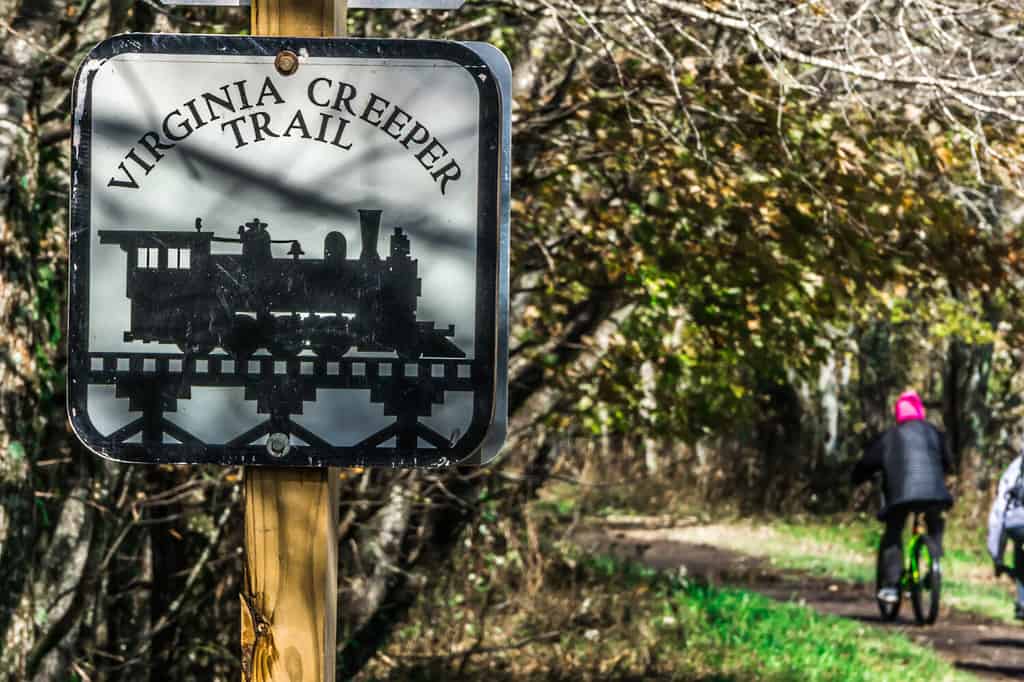
The Creeper Trail runs from Damascus to Abingdon, Virginia.
©digidreamgrafix/Shutterstock.com
Location: Damascus
Coordinates: 36.59917° N, -81.62561° W
There are many entrance points to the Virginia Creeper Trail. One of the most remote spots is in the tiny town of Damascus — known as the Heart of the Creeper Trail and “trail town USA”.
If you start at one of the local bike shops, you’ll enjoy a leisurely bike ride or walk downhill to Abingdon, Virginia where the trail ends.
11. Appalachian Trail
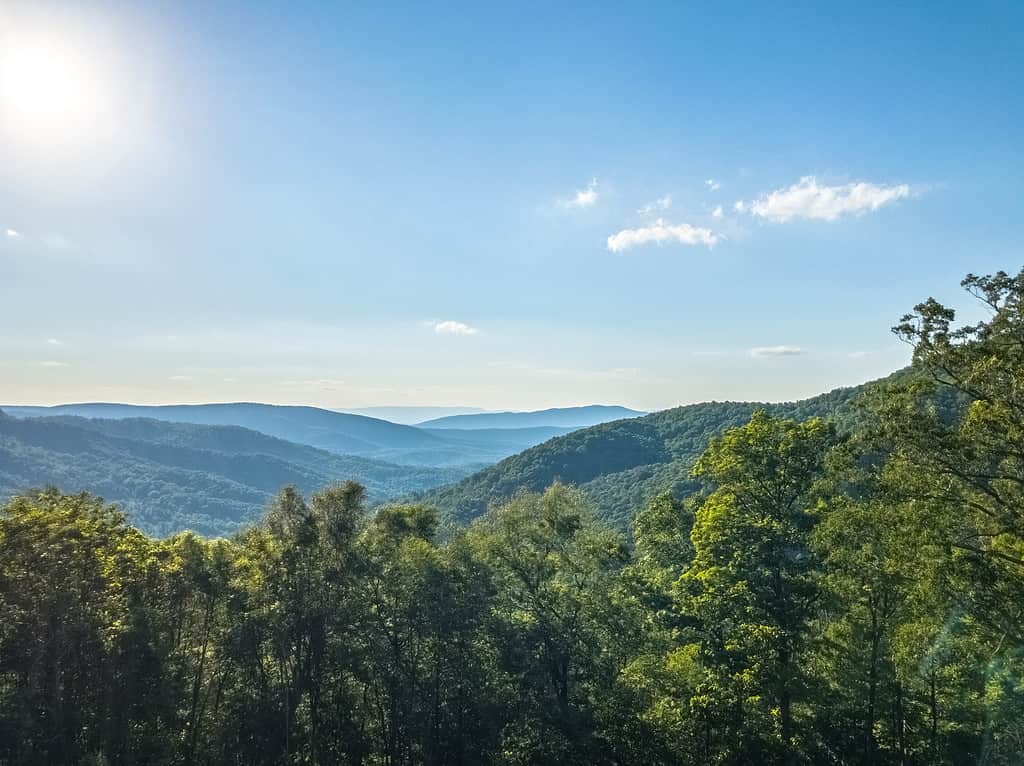
The Appalachian Trails runs parallel to the Blue Ridge Mountains in Virginia.
©Film Adventure/Shutterstock.com
Location: Damascus
Coordinates: 36.6372° N, 81.6405° W
The last remote place on our list is also in Damascus, a town at the southern end of the Appalachian Trail (AT). It’s among the most remote stretches of wilderness along the AT.
The AT goes through the town’s park and down Main Street, crossing paths with the Virginia Creeper Trail!
Summary of the 11 Most Remote Spots in Virginia
| Number | Place |
|---|---|
| #1 | Beartown Wilderness |
| #2 | Hidden Valley Lake |
| #3 | The Virginia Coast Reserve |
| #4 | Clinch Mountain Wildlife Management Area |
| #5 | Saint Mary’s Wilderness |
| #6 | Natural Tunnel State Park |
| #7 | Tangier Island |
| #8 | Kiptopeke State Park |
| #9 | Devil’s Bathtub |
| #10 | Virginia Creeper Trail |
| #11 | Appalachian Trail |


How to Add Us to Google News


Thank you for reading! Have some feedback for us? Contact the AZ Animals editorial team.