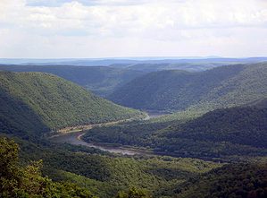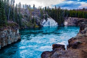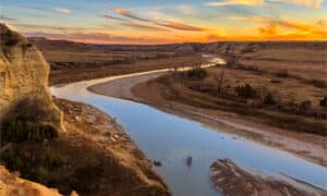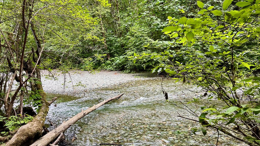
MacMillan Provincial Park is a beautiful area to experience the natural serenity of British Columbia.
©Oleksandra Kharkova/iStock via Getty Images
Throughout history, humans have used rivers to travel great distances or transport goods from one town to another. These waterways connected settlements and civilizations through trade routes that would form counties, states, and countries.
British Columbia is a vast swath of land with rivers flowing across the province. Waters race down the nearby mountains and out to the ocean where they go through the water cycle to return to the mountains once again. British Columbia’s rivers connect several towns and settlements, and this article will detail the longest rivers in the region.
Fun Facts About British Columbia
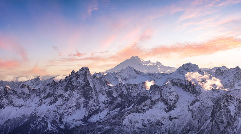
The Rocky Mountains or “The Rockies” stretch across British Columbia and into the United States.
©Christiannafzger/ via Getty Images
British Columbia is a province in Canada, located between the Rocky Mountains and the Pacific Ocean. It has a population of 5.4 million people as of the 2023 census, making it the 3rd largest province in the country. Ontario is the largest Canadian province with a population of 14 million people, followed by Quebec with 8.5 million people.
Canada does not have states or counties like the US. Instead, they have provinces that are divided within the country. A province is a principal administrative division of certain parts of the country.
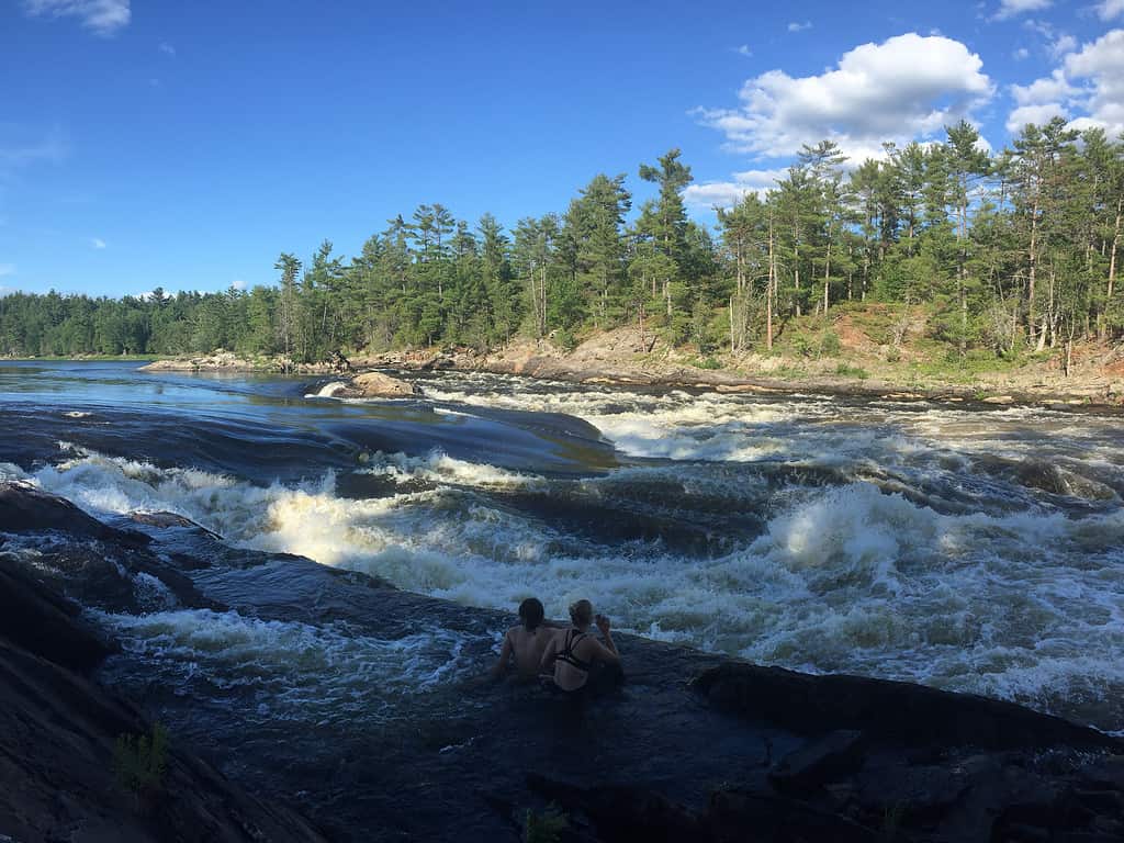
The Ottawa River is a popular vacation destination for adventurers interested in white water rafting.
©Kaitlyn Philip/iStock via Getty Images
Queen Victoria named the region when the British colonies occupied the area in 1858. The name is a combination of the British colonies and the Columbia River where they settled.
British Columbia’s capital city is Victoria, with a population of 92,141 people. Vancouver is its largest city with 662,248 people.
In total, the province spans 944,735 square kilometers or 364,764 square miles long. It is larger than nearly every US state aside from Alaska.
British Columbia’s Longest Rivers
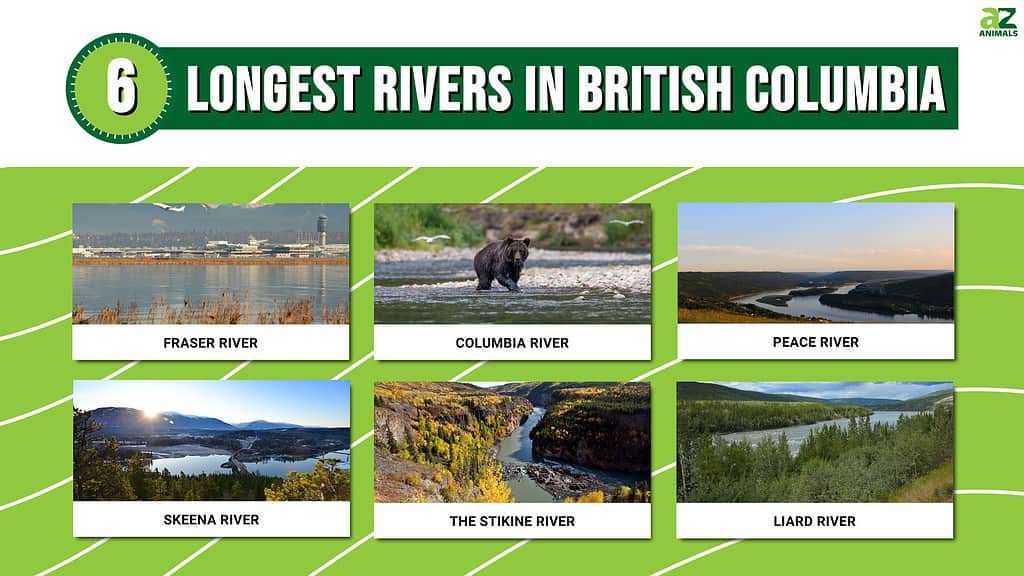
There are more than 8500 rivers across Canada, each with varying levels of length and depth.
In total, six major rivers are the largest completely contained within British Columbia:
- Fraser River
- Columbia River
- Peace River
- Skeena River
- Stikine River
- Liard River
1. Fraser River
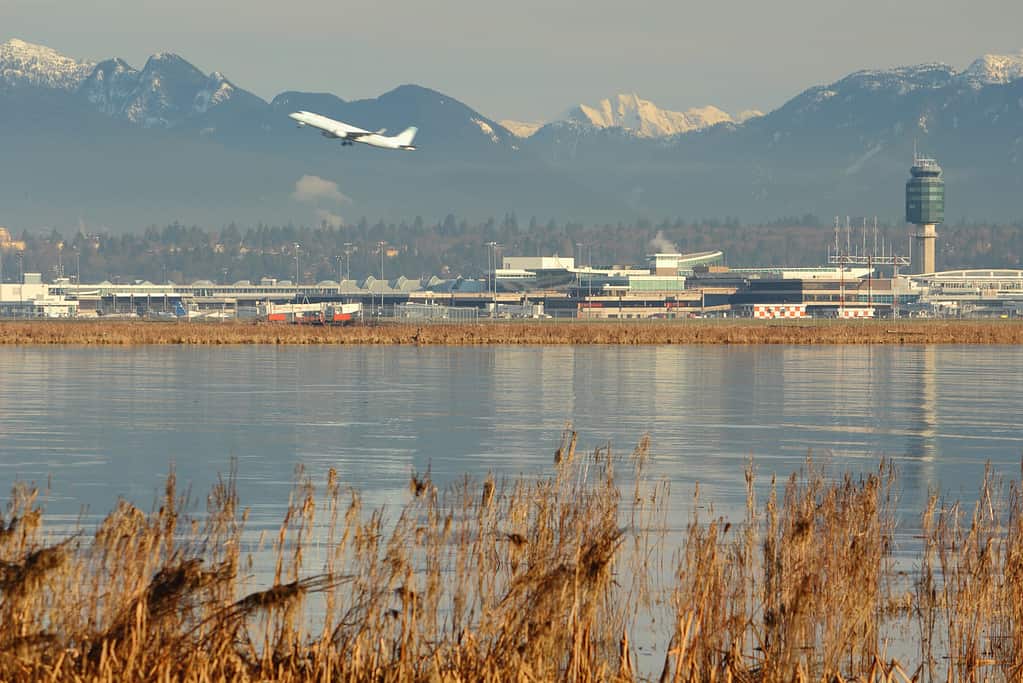
Vancouver International Airport is located along the Fraser River as an easy point of travel.
©iStock.com/Maxvis
The Fraser River is the longest river in British Columbia that does not pour out into neighboring territories or countries. It is 1370 kilometers long and a main section of the Fraser River Drainage Basin which supplies thousands of gallons of water to the area for transport and agriculture.
The Fraser River Drainage Basin encapsulates 233,000 square kilometers of land.
It holds the largest number of sturgeons in the country and the biggest supplier of sockeye salmon in the world.
In 1948, the Fraser River flooded and cut off Vancouver from its surrounding neighbors. The town was isolated and had to fend for itself until the waters receded. In total, there was $20 million in damages and 16,000 homes were destroyed.
2. Columbia River
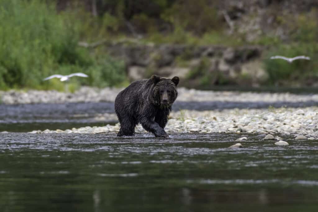
Grizzly bears explore shallow areas of the Columbia River to capture the salmon that inhabit its waters.
©iStock.com/psahota
The Columbia River is the second largest river in British Columbia, stretching 2000 kilometers. Technically, it is larger than the Fraser River, but the Columbia River is longer as it passes through the US.
It starts in the Columbia Lake, winds through the US border, and pours out into the Pacific Ocean at Astoria, Oregon.
The Columbia River used to be called Rio de San Roque but was changed by Robert Gray. In 1792, Gray renamed the river after his ship the Columbia.
3. Peace River
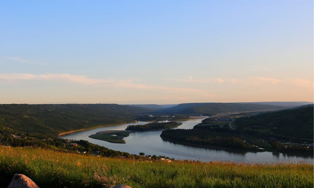
Peace River is a historic waterway for many indigenous tribes living along the shores.
©mike8816/Shutterstock.com
Next, is the Peace River which is 1923 kilometers long. This river starts in the Rocky Mountains and flows into Alberta, ending in the Slave River. Peace River and the Slave River are both tributaries to the Mackenzie River, the longest river in Canada.
Peace River is the location where the Cree and Dane-Zaa (Beaver) nations signed a peace treaty to settle a territorial dispute. The river was bountiful for food and useful for irrigation and transportation between the nations.
4. Skeena River
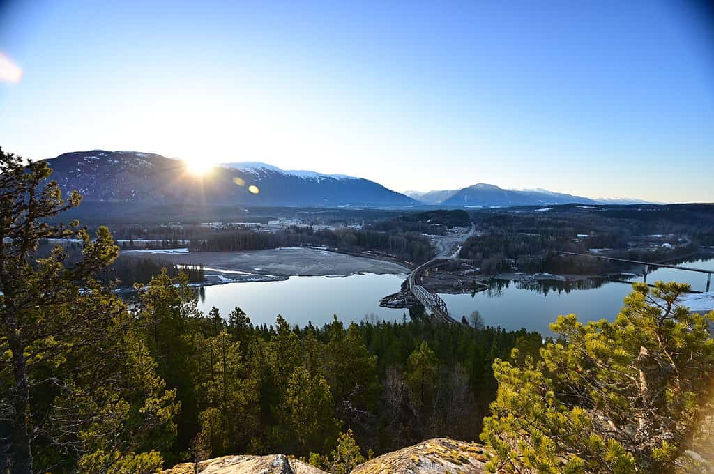
Tourists traveling to the Skeena River can spend hours fishing the clear waters for freshwater fish.
©Tomas_Handfield/iStock via Getty Images
The Skeena River starts at the Skeena Mountains, and flows south toward the Babine and Bulkley Rivers, before ending in the Chatham Sound in the Pacific Ocean. In total, the Skeena River is 580 kilometers long.
Similar to the Fraser River, the Skeena River is well-known for its salmon population. It is a popular site for sport and commercial fishing for sockeye salmon. From May to October, different types of salmon swim upstream to their spawning grounds.
The Skeena River forms a natural divide between the Klappan River and the Stikine River. The Tsimpsean translation of the river means “the divide” referencing its geological purpose.
5. The Stikine River
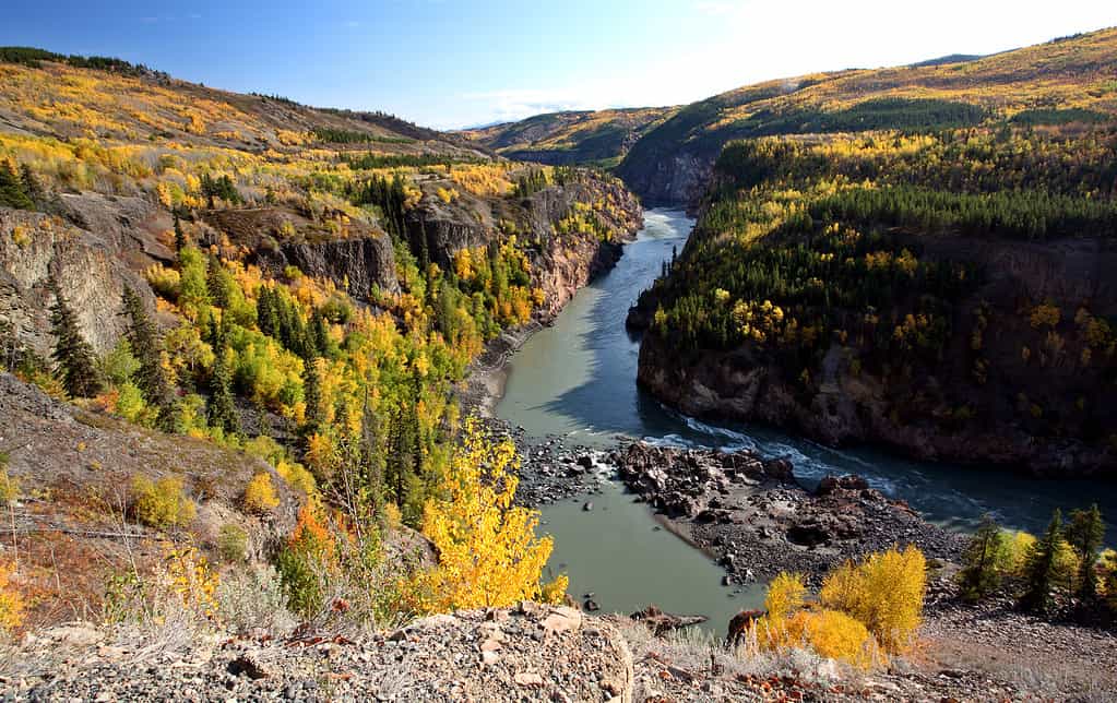
The Grand Canyon of British Columbia is located within the Stikine River area.
©bobloblaw/iStock via Getty Images
The Stikine River flows for 270 kilometers from Spatsizi Wilderness Park and empties in the Pacific Ocean near Wrangell, Alaska. It is named after the Tsimshian-Nisga people who lived in the area, calling it “Tlingit” or “great river.” In 1834 it was re-discovered by John McLeod of the Hudson’s Bay Company and used as a trade route.
In 1896, miners used the Stikine River to reach the Klondike Mountains where a gold rush was flooding the surrounding area. Stikine River was an easily accessible route to and from Glenora and the Yukon Territory
The river was an easy way for miners to reach the Cassiar Mountains mining region where rumors of gold circulated.
6. Liard River
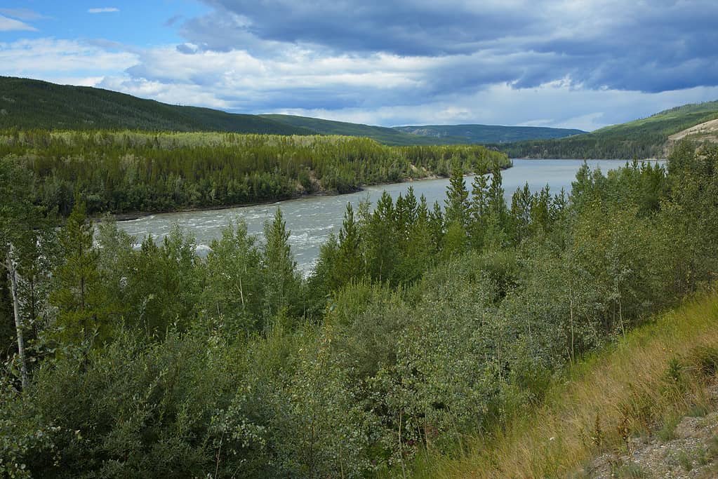
While not situated solely in British Columbia, the Liard River joins with other larger rivers.
©Karel Stipek/iStock via Getty Images
The Liard River extends from the Yukon territories in the northernmost part of Canada to British Columbia. It streams 1115 kilometers and joins the Mackenzie River at Fort Simpson as part of the longest river in the country.
The Liard River famously has lovely hot springs encompassing eight pools of thermal water simmering between 108-126 degrees Fahrenheit. The pools bring people from across the country to bathe in the heated waters, relax, and enjoy the fresh air and natural scenery.
How Are These Rivers Used Today?
The bigger rivers like the Fraser and Columbia provide fresh drinking water to hundreds of communities across British Columbia. The stable water irrigates 600,000 acres of farmland to produce goods shipped internationally.
British Columbia’s main exports are:
- Softwood lumber
- Coal and Copper Ore
- Natural Gas
Construction of dams in the Columbia River provides power, navigation, and flood control support to the surrounding territories.
What is the Longest River in Canada

The longest river in Canada is the Mackenzie River. It stretches across the Northwest Territories before ending in the Arctic Ocean. It is the second-longest river system in North America and the twelfth-longest river in the world.
The Mackenzie River is 4,240 kilometers long and connects to several small river systems across the Yukon and British Columbia regions.
Sir Alexander Mackenzie named the river after himself while traveling the entire length in 1789. Mackenzie followed the entire length of the river, an accomplishment never recorded before. The river played a key role for future explorers to travel to and from the Arctic without lengthy hikes.
Summary of the Longest River in British Columbia and Canada
| Rank | River | Length in Kilometers |
|---|---|---|
| 1 | Columbia | 2000 |
| 2 | Peace | 1923 |
| 3 | Fraser | 1370 |
| 4 | Liard | 1151 |
| 5 | Skeena | 580 |
| 6 | Stikine | 270 |
The photo featured at the top of this post is © Kevin Oke Photo/Shutterstock.com
Thank you for reading! Have some feedback for us? Contact the AZ Animals editorial team.


