
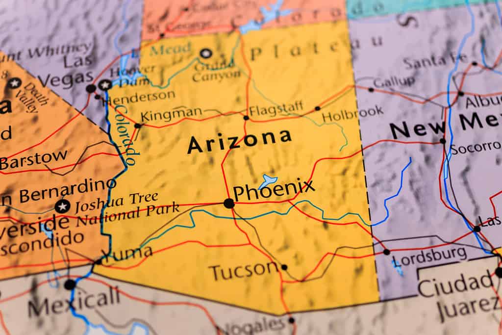
Every state in the United States has its own unique and interesting story, including how its borders were drawn. But for many of us, these states are just shapes that we learned in a grammar school geography class. Although Arizona‘s borders are straight lines on two sides, the Southwest state has the unusual feature of meeting three other states in a single point, at a place called the Four Corners Monument. Its western and southern borders also have interesting tales to tell. So, let’s discover how Arizona got its unique shape!
©Alexander Lukatskiy/Shutterstock.com
How the U.S. Got its Territory
Before we delve specifically into Arizona’s history, here’s a summary of how the United States got the rest of the land that makes up the 50 states and the country’s other territories:
The 50 States:
- East of the Mississippi: won in the American Revolution
- Florida: negotiated takeover from Spain
- West of the Mississippi to the Rockies: purchased from France
- Pacific Northwest: claimed in the Lews and Clark Expedition and negotiated with Britain
- Texas: won independence from Mexico, then joined the U.S.
- California and the Southwest: seized from Mexico in the Mexican War
- Alaska: purchased from Russia
- Hawaii: taken over in a coup by American businessmen.
Other Territories:
- Guam and Puerto Rico: seized from Spain in the Spanish War
- U.S. Virgin Islands: purchased from Denmark
- American Samoa: taken over after the Samoan civil war
- Northern Mariana Islands: taken over from Japan at the end of World War II
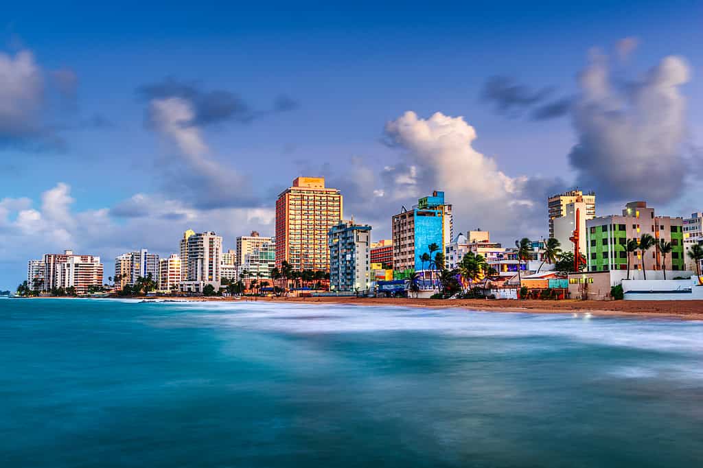
Puerto Rico is a territory of the United States that may become a state in the future.
©iStock.com/Sean Pavone
Arizona Today
Arizona is located in the Southwestern United States bordering California, Nevada, Utah, New Mexico, and the country of Mexico. It also shares a corner with Colorado. It is the 6th-largest state by land area and the 14th in population. Arizona might bring to mind deserts, but this is true only of its south. In the north, it is characterized by mountains, canyons, and evergreen forests with cooler temperatures. The most amazing natural wonder and most popular tourist attraction in the state is the Grand Canyon, carved by the Colorado River for eons, leaving behind fascinating stratified rock formations.
Native American reservations take up about 25% of the state, with the largest being the Navajo Nation with more than 300,000 people. As part of the so-called “Sun Belt,” Arizona has attracted a large number of people from other states who prefer to live in a year-round warm climate. This has caused explosive suburban growth in cities like Tucson and Phoenix which has put a strain on water resources. A current major problem for Arizona and its neighbors is the historically low water level in Lake Mead on the Colorado River at the Arizona-Nevada border.
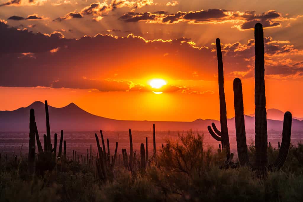
Deserts like this, near Tucson, are the quintessential image of Arizona.
©Ste Lane/Shutterstock.com
How the U.S. Got Arizona
Arizona was occupied by Native Americans for thousands of years before Spanish missionaries and explorers began arriving in the 16th century and claimed the area for the Spanish Empire. When Mexico declared its independence from Spain in 1821, Arizona became Mexican territory. But, as it turns out, not for long. The United States went to war with Mexico over a Texas boundary dispute and, in 1848, claimed control of 55% of Mexico’s territory, including Arizona. There was a final adjustment to the border five years later, though, when the United States purchased a chunk of land south of the Gila River because it had an easier route to build a transcontinental railway. This, the Gadsden Purchase of 1853, completed the southern border of Arizona with Mexico as it stands today.

The U.S. government extended Arizona’s border to acquire a route for a transcontinental railroad.
©Ebyabe / CC BY-SA 3.0 – License
How Arizona Became a State
Arizona was initially part of the Territory of New Mexico, but when the Civil War broke out in 1861, the southern half of the state tried to join the Confederacy. This breakaway territory included the areas of modern New Mexico and Arizona south of the 34th parallel. Union control of the region was reestablished by 1862, and a new Arizona Territory was established that included the modern borders of the state, in addition to the southern tip of what is today Nevada. That piece of territory was west of the Colorado River, which formed the rest of Arizona’s western border. In 1866 the U.S. government convinced Arizona to transfer that area to Nevada, which had become a state two years before.
The admission of Arizona was controversial because progressives in Arizona wanted to include provisions for women’s suffrage, direct election of senators, and to give the right to organize referenda on civic issues and recalls of elected officials. As a result of these kinds of provisions, the U.S. Congress rejected Arizona’s constitution. There was some movement toward making Arizona a part of New Mexico, but to avoid this, Arizona removed the offending provisions from the constitution and finally won approval for its stand-alone statehood bid in 1912. After they were officially in, however, residents of Arizona amended the Constitution back to the way they wanted it, and women in the state got the right to vote in 1912, eight years before the rest of the country did.
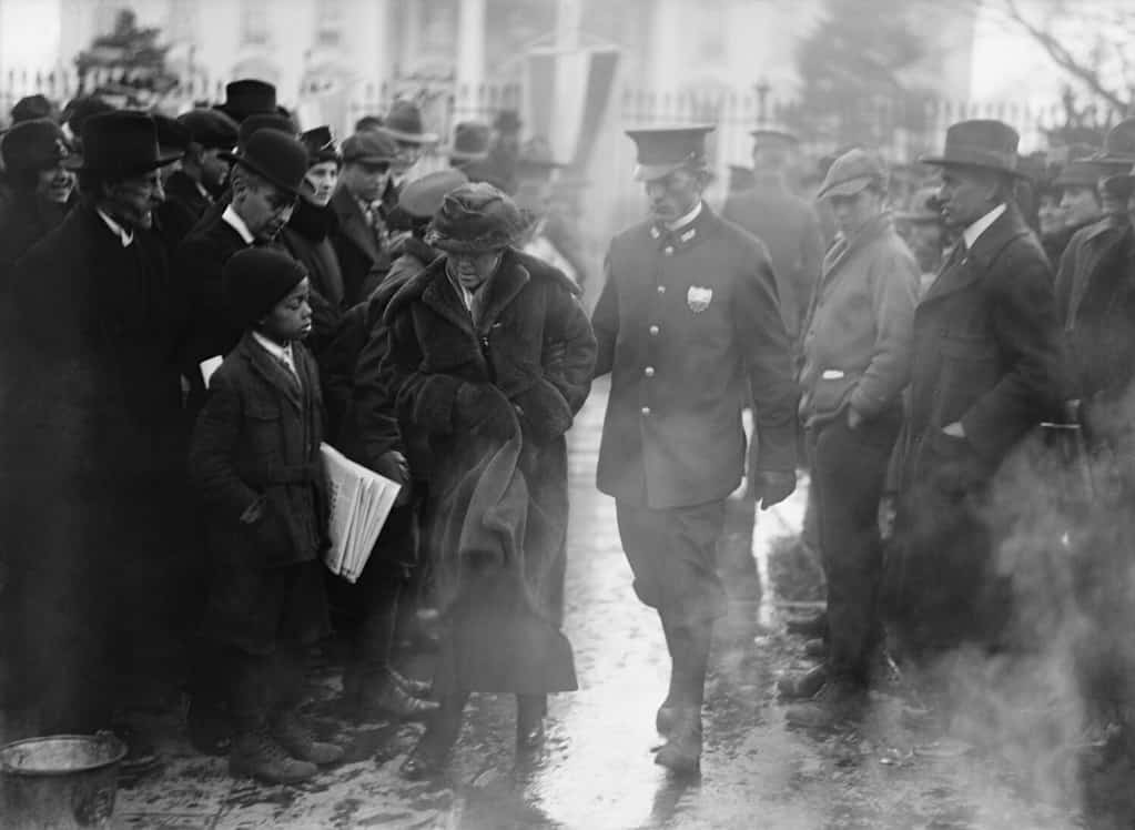
The issue of women’s suffrage nearly cost Arizona its bid to become a state.
©Everett Collection/Shutterstock.com
A Summary of How Arizona Got Its Borders
- With Mexico: The peace agreement of the Mexican War of 1848, extended further south by the Gadsden Purchase of 1853.
- With Utah: Established by the federal government with the formation of the Utah Territory in 1850.
- With California: In 1850 when California became a state, its approved border with Arizona was set at the Colorado River.
- With New Mexico: In 1863 the federal government reorganized the area to create separate Arizona and New Mexico territories with their current border.
- With Nevada: Nevada became a state in 1864. Arizona agreed to transfer to Nevada its claimed territory west of the Colorado River, which resulted in modern Nevada coming down to a point in the south.
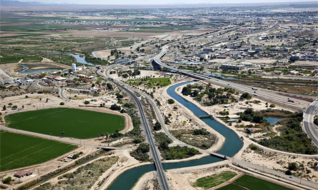
The Arizona-California border runs along the Colorado River, as seen here in Yuma, AZ.
©Tim Roberts Photography/Shutterstock.com
A Tumultuous History
As you can see, the question “How did Arizona get its shape?” is not a quick and easy one to answer. It’s part of a rough-and-tumble history of colonization, war, rebellion, and finally, a surprisingly progressive turn. This historical move made Arizona a national leader on one of the most important civil rights issues of the 20th century. As new residents flock to the area for recreation, work, or retirement, they become part of this history as well. With a story that is still developing, Arizona is likely to continuing surprising us in the future!
The photo featured at the top of this post is © Alexander Lukatskiy/Shutterstock.com


How to Add Us to Google News


Thank you for reading! Have some feedback for us? Contact the AZ Animals editorial team.