
There are 3,442 named mountains in Utah, a state in the Mountain Western region of the United States. Of these many mountains, Kings Peak towers over them all with a massive elevation of 13,527 feet. Today, we’ll be looking at another impressive mountain in Utah – Mount Nebo. This mountain is the tallest and southernmost mountain in the Wasatch Range of Utah. Let’s take a closer look, and answer one big question: “How tall is Mount Nebo?”
How Tall is Mount Nebo?
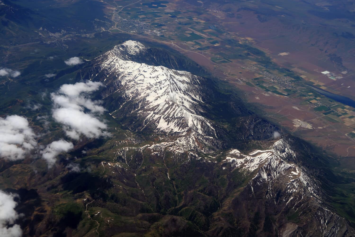
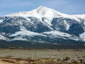
Mount Nebo is the southernmost mountain in Utah.
©Jeremy Christensen/Shutterstock.com
According to the official website for Nephi City, Utah, Mount Nebo towers at an elevation of 11,928 feet. This mountain is also impressive in its prominence, boasting a prominence of 5,488 feet. How does this stack up against other peaks in Utah – and across the United States? Let’s take a look using two helpful tables.
Mount Nebo vs. Other Utah Peaks
| Mountain | Elevation | Prominence |
|---|---|---|
| Kings Peak | 13,528 feet | 6,348 feet |
| Mount Nebo | 11,993 feet | 5,488 feet |
| Mount Peale | 12,726 feet | 6,161 feet |
| Mount Timpanogos | 11,752 feet | 5,269 feet |
| Bald Mountain | 11,942 feet | 1,823 feet |
Mount Nebo vs. Peaks in the United States
| Mountain | State | Elevation | Prominence |
|---|---|---|---|
| Mount Whitney | California | 14,505 feet | 10,075 feet |
| Mount Katahdin | Maine | 5,269 feet | 4,288 feet |
| Mount Denali | Alaska | 20,308 feet | 20,194 feet |
| Mount Ranier | Washington | 14,409 feet | 13,246 feet |
| Mount Elbert | Colorado | 14,439 feet | 9,093 feet |
Where is Mount Nebo on a Map?
Provo, Utah, is the closest large city to Mount Nebo.
©Jeremy Christensen/Shutterstock.com
Let’s take a closer look at the exact location of Mount Nebo and check out how far it is from major cities in Utah.
You can zoom in and out on this map to explore the area, but you can see that Mount Nebo is slightly east of Highway 15, south of Provo. It’s only a 34.9-mile drive from Provo to the parking area for Mount Nebo. This drive takes about 50 minutes to complete. Further away is Salt Lake City, Utah. It takes about an hour and 40 minutes to complete the 78.4-mile drive to the parking area.
Can I Hike Mount Nebo?
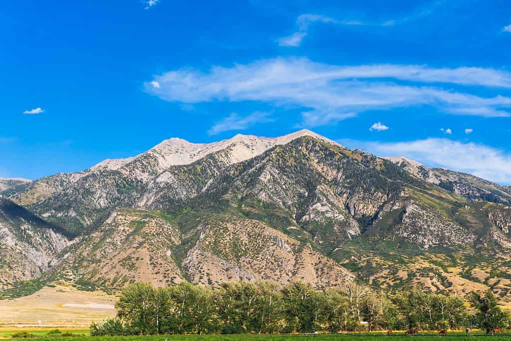
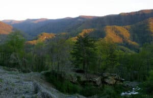
Mount Nebo is the highest southern peak in Utah.
©Soren989/Shutterstock.com
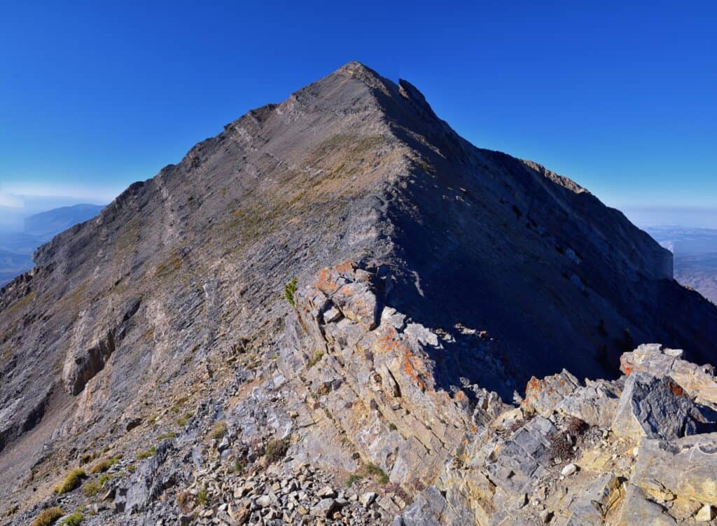
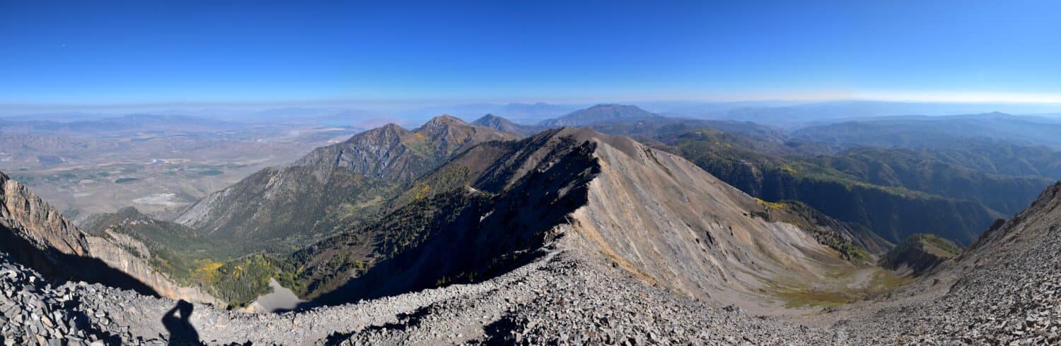
You can absolutely hike Mount Nebo, though it is a pretty challenging route to get to the summit. AllTrails rates the hike to the summit as a challenging route. The out-and-back hike is estimated to be about 8.6 miles in length with an elevation gain of 3,569 feet on the trek. Make sure to do your research before trying to hike any summit, and get the local weather and trail information before you attempt to get there.

How to Add Us to Google News


Thank you for reading! Have some feedback for us? Contact the AZ Animals editorial team.