
At its heart, Utah is a state divided between two major geologic formations: the Great Basin to the west, and the Colorado Plateau to the east. First colonized more than 10,000 years ago by Native Americans, and later settled by the Mormon pioneers, Utah is a state rife with history and natural beauty. The vast majority of its population is concentrated along the Wasatch Front (including Salt Lake City), as well as the metropolitan area of St. George, in the southwest corner of the state. But, just where is the highest point in Utah?
Discover the answer to that question and more as we explore the state’s highest point. We’ll find out how to get there and whether or not you can drive to the top. Finally, we’ll learn what else there is to do in the area, and how the other high points in the state compare.
Read on to learn about the highest point in Utah!
The Highest Point in Utah
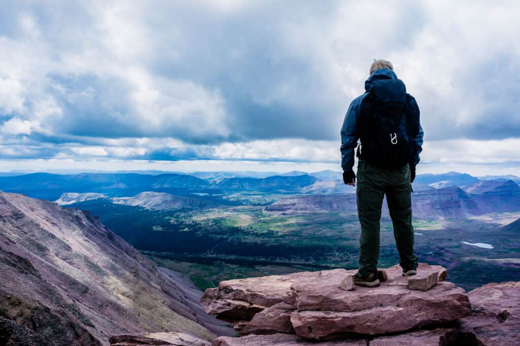
The highest point in Utah is called Kings Peak.
©Mitch Johanson/Shutterstock.com
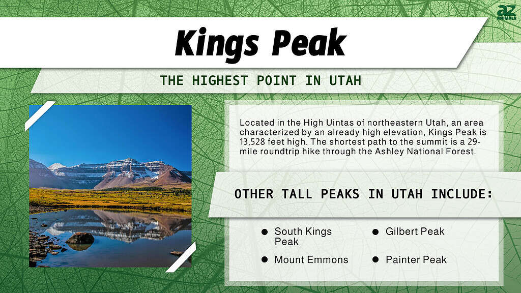
Kings Peak, at 13,528 feet elevation, is the highest point in Utah. The peak is located in the High Uintas of northeastern Utah, an area characterized by an already high elevation. Kings Peak gets its name from Clarence King, who was the first-ever director of the U.S. Geological Survey. Interestingly, Kings Peak has one of the greatest topographic prominences in the United States. Prominence refers to the actual elevation between the peak and the surrounding valley floor. At 6,348 feet, the prominence of Kings Peak makes it high enough to be called an “ultra prominence.” Only 56 other peaks in the United States share this title.
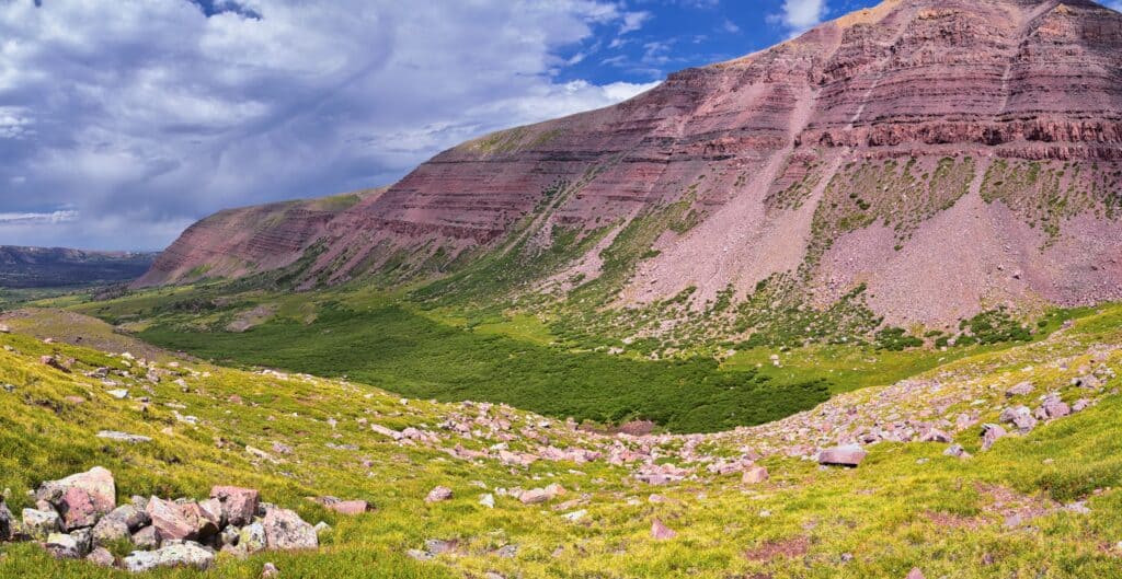
Viewed from the forested valley below, Kings Peak is the highest prominence on an otherwise mesa-like ridge of exposed rock. Like many of Utah’s formations, the ridge that makes up Kings Peak exhibits staggeringly beautiful layers of multicolored rock. The summit itself is very rocky, with sparse grasses and frequent summer thunderstorms and high winds.
How Does Kings Peak Compare with the Rest of Utah?
Kings Peak might be the highest point in Utah, but Utah is no sea-level state. In fact, Utah has the third-highest average elevation in the United States (6,100 feet). The lowest point in the state is still 2,000 feet above sea level, at Beaverdam Wash. Kings Peak is no laughing matter when it comes to other state high points either. In fact, only six state high points exceed the elevation of Kings Peak.
Can You Drive to Kings Peak?
You can only get to Kings Peak by hiking.
©Jeremy Christensen/Shutterstock.com
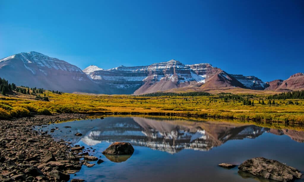
No, you cannot drive to Kings Peak. In fact, you can’t even get close to it via a motorized vehicle. The shortest path to the summit is a 29-mile roundtrip hike through the Ashley National Forest. The only way to get to Kings Peak is by backpacking there, and back again. There are three main approaches to the peak: via the Uinta River Trailhead, the Yellowstone Creek Trailhead, or the Henry’s Fork Trailhead.
Henry’s Fork is the most commonly used path to Kings Peak. The trail starts on the north side of the mountains and is best approached through Wyoming. The other two trails both start out on the south side of the mountain. The Uinta River Trail is closer to a 50-mile roundtrip hike, while the Yellowstone Trail passes Deer Lake.
Where Is Kings Peak Located on a Map?
Kings Peak is in northeastern Utah in north-central Duchesne County. It is about 79 miles east of central Salt Lake City, and around 45 miles north of Duchesne.
Things to Do Near Kings Peak
You can see various forms of wildlife in the surrounding Ashley National Forest.
©MackieSlab/Shutterstock.com
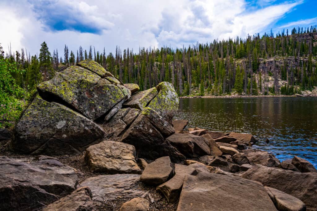
Located entirely in the beautiful Ashley National Forest, the area surrounding Kings Peak has plenty to offer for any outdoor enthusiast. If a 30-mile backpacking trip is a little too much for you, consider checking out some of the tamer trails and backpacking opportunities in the area. Visitors might see mule deer, elk, coyotes, and even beavers (at certain ponds). In addition to that, the High Uintas offers stunning views at all times of the year.
If you’re looking for something a little more urban to complete your trip to Kings Peak, you might want to spend some time in Salt Lake City or Park City. Both cities are within 100 miles of Kings Peak.
Utah’s Five Highest Points
The elevation of Kings Peak is 13,528 feet.
©Greg Rorem/Shutterstock.com
Now you know that the highest point in Utah is Kings Peak, at 13,528 feet elevation, but what about the other tall peaks? All five of Utah’s highest points lie within the Central Uinta Range, known locally as the High Uintas.
The second highest peak in Utah is South Kings Peak (located just south of Kings Peak), at 13,512 feet. The third highest point is Gilbert Peak, at 13,442 feet elevation. Coming in fourth is Mount Emmons, with an elevation of 13,440 feet. Finally, the fifth highest peak in Utah is Painter Peak, at 13,387 feet.
The photo featured at the top of this post is © Greg Rorem/Shutterstock.com


Sources
- , Available here: https://www.summitpost.org/kings-peak/150376

How to Add Us to Google News


Thank you for reading! Have some feedback for us? Contact the AZ Animals editorial team.