In the United States, more than 4000 accidental drownings occur per year with more than half of those drownings occurring in natural waterways. While Arizona isn’t one of the highest-rated states for unintentional drowning deaths, there is still more than 1 drowning death per 100,000 people every year. With Arizona rivers being a popular year-round recreational destination, just how dangerous are Arizona rivers?
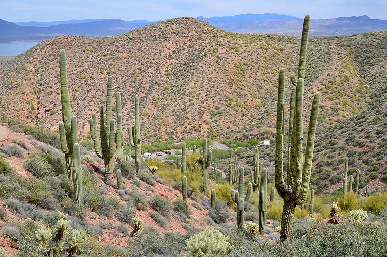
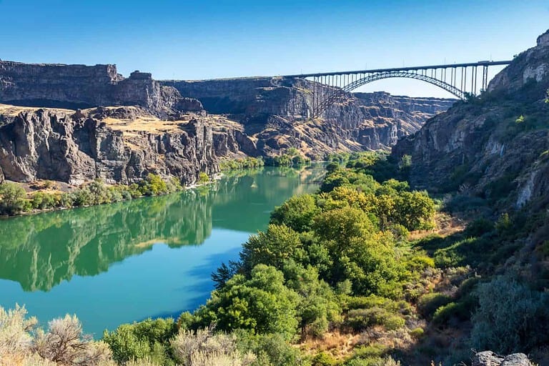
How Many Rivers Are There in Arizona?
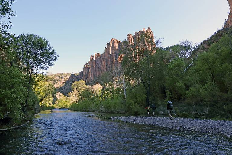
Over 50 rivers flow in the state of Arizona.
©Alexander Lukatskiy/Shutterstock.com
There are over 50 rivers in Arizona associated with 2 drainage basins. Around 5 of these rivers are considered major rivers, with all of the rivers being in tributary systems eventually connecting to the Colorado or Yaqui Rivers. There are over 120 lakes along these rivers that are used for water storage, hydroelectric purposes, and recreation.
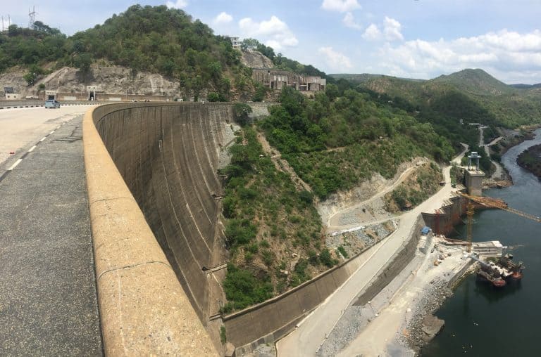
Over 90 percent of all riverine environments in Arizona are altered by human endeavors. Since a lot of Arizona is arid, damming or diversion for drinking water and farming have largely contributed to artificial river landscapes.
What River in Arizona is the Most Dangerous?
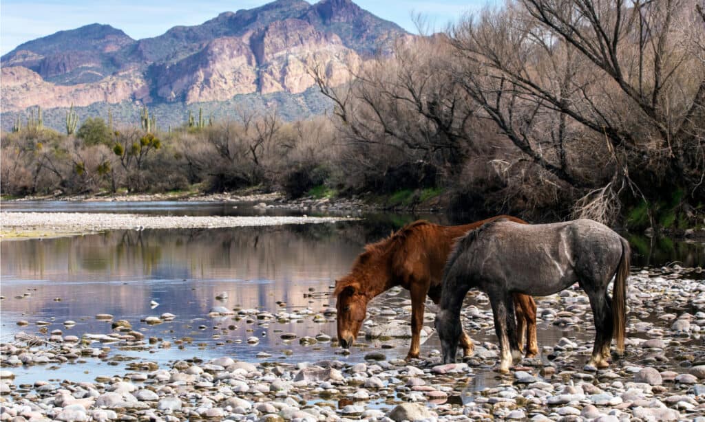
The Salt River in Arizona claims the most lives every year because it’s close to the Phoenix Metro Area.
©Brent Coulter/Shutterstock.com
The most dangerous river in Arizona is the Salt River. While sections of the Colorado River are much rougher, the length of the Salt River has the most recorded drowning deaths per year. At least 2 people drown on the river every year, but this number rises substantially based on yearly water conditions.
The Salt River is considered a major river in the state even though it’s a tributary of the Gila River. The Salt River covers about 200 miles along its watercourse, and it hosts 4 major reservoirs. These reservoirs are Apache Lake, Saguaro Lake, Canyon Lake, and Roosevelt Lake.
The Salt River hosts the most deaths in Arizona every year because of its proximity to the densely populated Phoenix Metropolitan Area. City dwellers seek out the Salt River for recreational activities like swimming, tubing, rafting, fishing, and kayaking. Because it’s used so heavily, it also takes the most lives.
Drinking while boating on waterways is not illegal in Arizona, and life jackets are not required by law. As a result, more accidents take place on Arizona waterways in a season than on the entire Atlantic seaboard.
Boaters in AZ are offered a discount on their insurance if they take water safety courses. However, no mandatory licensing or training requirements exist to operate a motorboat in Arizona.
One of the deaths that occurred on the Salt River in 2023 happened on Saturday, March 18. Storms raised the level of the river beyond its normal flow, and an 81-year-old man was overconfident in his kayak. He fell into the water near Pebble Beach close to the city of Mesa and died after being retrieved from the water by civilian rescuers.
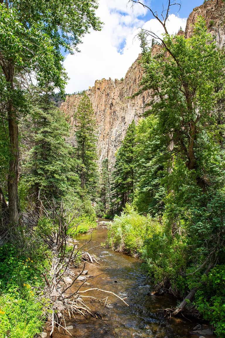
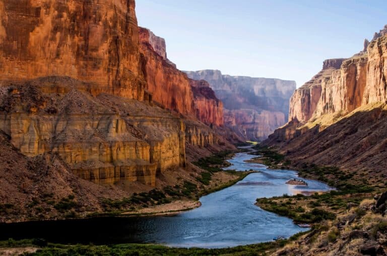
How Dangerous Is the Colorado River in the Grand Canyon?
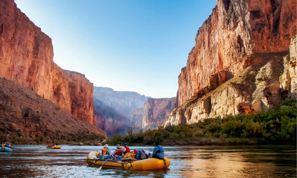
Rafting through the Grand Canyon is popular but potentially dangerous.
©Jim Mallouk/Shutterstock.com
The section of the Colorado River most commonly traversed by adventurers wishing to see the Grand Canyon flows between Lee’s Ferry and Lake Mead. Approximately 100 people have drowned in this section of the river over the last century or so. These deaths happened due to rafting disasters, people wading into the water, and swimmers trying to cross the river.
The Colorado River is about 1700 miles long, and around 1450 of those miles are within Arizona’s borders. There are 7 states, including Arizona, that rely on the Colorado River Basin as a primary source of water.
Taking a rafting trip through the Grand Canyon should not be done lightly or by people who are not strong swimmers. However, the dangers that this stretch of the Colorado River pose aren’t any more dangerous than other whitewater rafting trips available on other watercourses in the country.
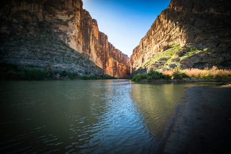
The Gila River is Popular and Sometimes Dangerous
A surprising amount of the rivers in Arizona do not flow year-round. The Gila River, which is one of the major rivers flowing through the state, has large sections that are dry unless a weather event has occurred. Only around 162 miles out of 570 miles of the Gila River flow steadily all year.
One of the stretches of the Gila River that flows year-round occurs at the confluence with the Salt River near the Phoenix Metro Area. This is because Phoenix discharges wastewater into the river which keeps it flowing. To the west of the metro area, the river is diverted into canals for agriculture and dries up.
At the Gila Box Riparian National Conservation Area northeast of Tucson, the water in the river flows full-time. The winter season is a little more treacherous and attracts whitewater enthusiasts.
The summer provides lazy waters so many describe Gila Box as a swimming hole. It is one of the safest expanses along the Gila River for those seeking to take a dip on a hot day. Despite this, visitors shouldn’t become complacent when it comes to river dangers even if the water is inviting. Every year, people drown along the Gila River.
Flash Floods in Arizona Are Dangerous
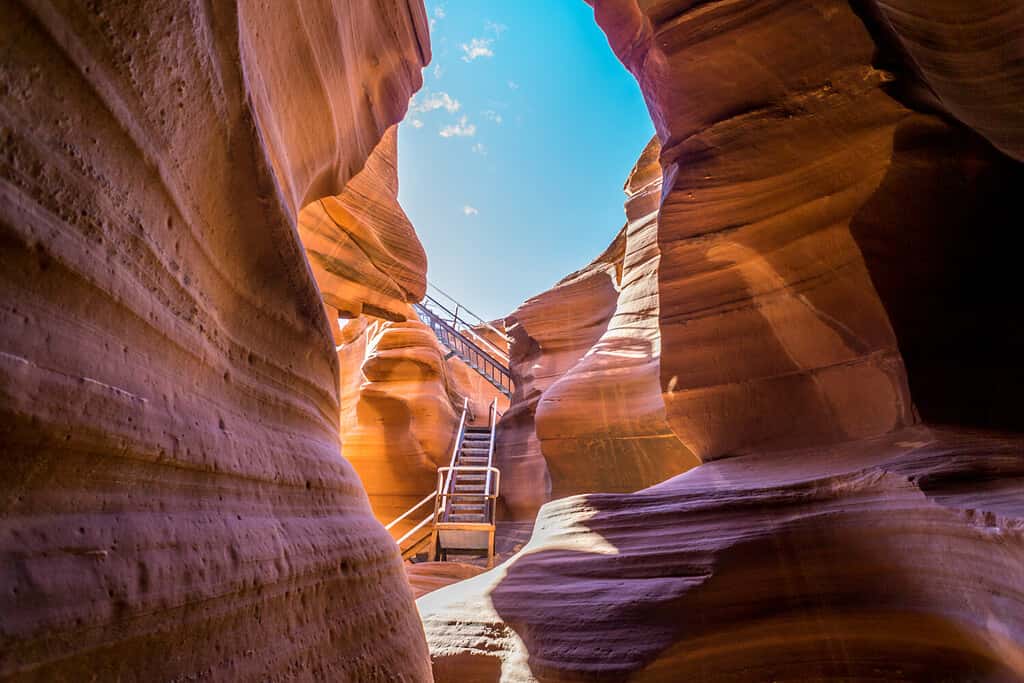
The Lower Antelope Canyon was slowly carved out by flood waters and is prone to flash flooding.
©Mr. James Kelley/Shutterstock.com
One of the dangers most prevalent on Arizona’s rivers than elsewhere in the nation is the potential for flash floods. Because the arid soil in the state doesn’t soak up water like other regions, large amounts of rainfall create immediate water torrents that catch people by surprise. Every year, at least a few people are caught in flash flood waters. Unfortunately, sometimes those trapped are unable to escape.
The normally dry Lower Antelope Canyon is a popular tourist destination because of the towering smooth stone passages unique to the area. The canyon has been slowly carved out by flood waters. As a result, when it storms, flash floods tear through the area without warning.
The most devastating flash flood at Lower Antelope Canyon occurred on August 12, 1997. A 40-foot wall of water plummeted through the canyon, and 11 hikers drowned.
Flash floods are especially dangerous because they sneak up on people. Campers or hikers in a region may not realize they’re in a dangerous situation until it’s too late.
Since no precipitation falls at their immediate location, visitors are often unaware of impending danger. However, if substantial rain falls anywhere above a person’s location in a watershed, it can cause substantial flooding even in an area that seems dry.