Key PointThe s:
- Kuskokwim River depth is Generally under 20 feet throughout.
- It varies in depth. There are significant differences along its course due to its enormity.
- Approximately 700-mile span, subject to variations.
The Kuskokwim River is the second largest river in Alaska behind the Yukon. Its delta is shared with the Yukon and provides sustenance fishing to many residents. The river is famous for being long, but how deep is the Kuskokwim River? We’ll look over the details now.
How Deep is the Kuskokwim River?
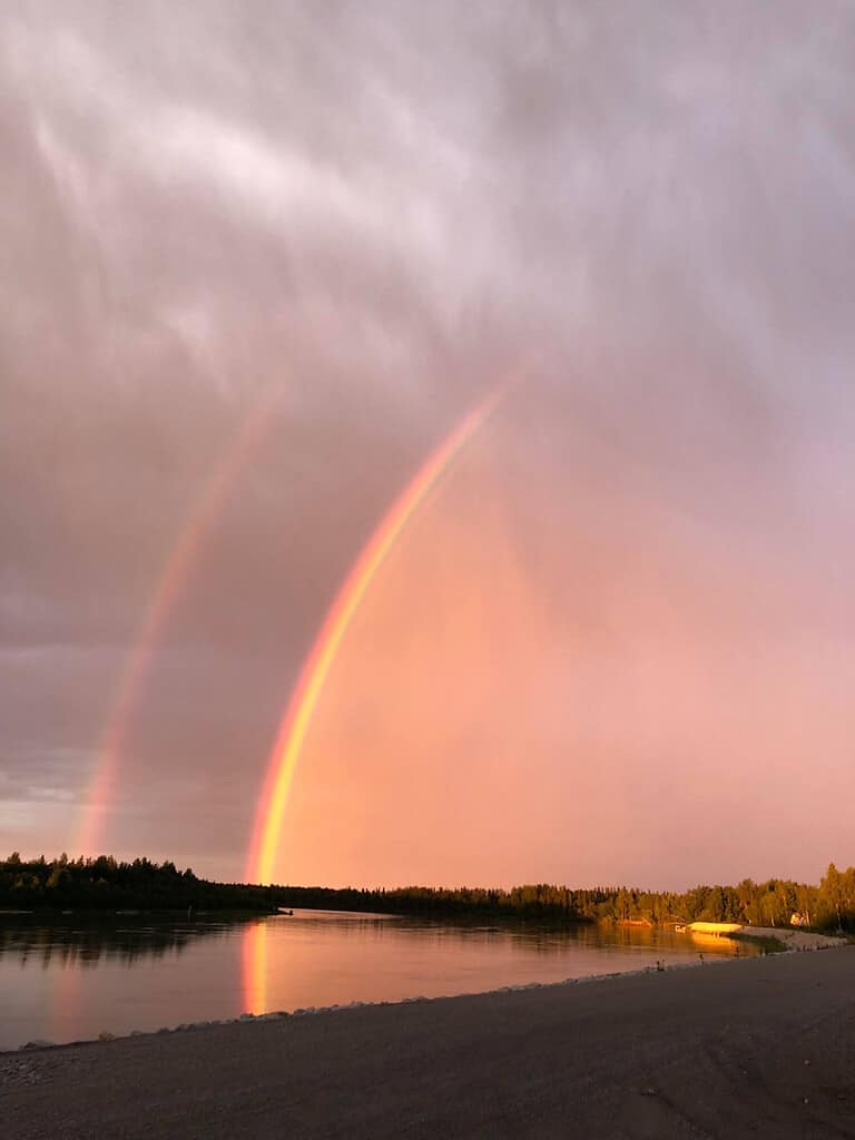
At McGrath, there is a gaging station that measures the depth of the Kuskokwim River.
©JenniLovesTheVillage/Shutterstock.com
The Kuskokwim River is usually no deeper than 20 feet along any given part. However, the Kuskokwim River is huge, so it is very different at varying points along its path. The river is about 700 miles long though this number varies because the forks and headwaters are often changing variables in its measurement.
As a result of its length, the depth of the river greatly depends on the location and time of year. The tide affects the height of the river daily until about 97 river miles upstream from its delta.
At the Crooked Creek gaging station, the river is usually between 5 and 10 feet deep. However, sometimes it’s as high as 30 feet and as low as 3 feet.
At the McGrath gaging station, the river is around 9 to 14 feet deep most of the time. Sometimes, though, it’s almost 20 feet deep.
At the McGrath gage, the preliminary flood stage is 21 feet deep, with major flooding occurring at 27 feet. On June 27, 2019, the river crested at 24.37 feet, which means it reached a moderate flood stage.
Animals of the Kuskokwim River
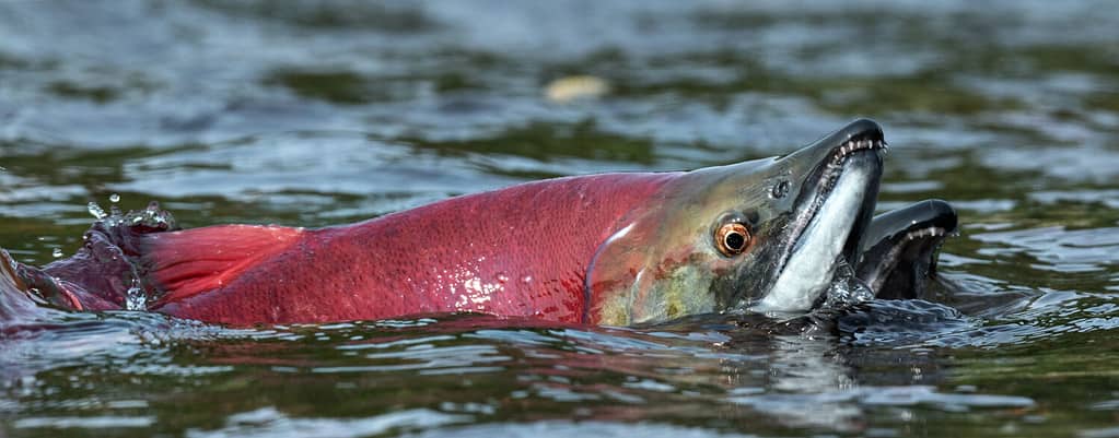
A handful of salmon species, including the sockeye salmon, use the Kuskokwim River for breeding.
©Sergey Uryadnikov/Shutterstock.com
The Kuskokwim River plays host to a variety of fish. Some of these fish are of interest to anglers.
Fish that live in the Kuskokwim River include:
- Sheefish (Stenodus leucichthys)
- Rainbow Trout (Oncorhynchus mykiss)
- Northern Pike (Esox lucius)
- Three-Spike Sticklebacks (Gasterosteus aculeatus)
- Arctic Graylings (Thymallus arcticus)
- Alaska Blackfish (Dallia pectoralis)
- Burbot (Lota lota)
- Dolly Varden (Salvelinus malma)
- Sockeye Salmon (Oncorhynchus nerka)
- Coho Salmon (Oncorhynchus kisutch)
- Chinook Salmon (Oncorhynchus tshawytscha)
- Chum Salmon (Oncorhynchus keta)
Sheefish individuals, also called Inconnu, in the Kuskokwim River system spawn in the upper regions of the river. Then, they spend their winters in the lower part of the river. They return to the upper reaches right before spawning so they can feed at the tributary entrances along the way.
The Kuskokwim is a huge and vital salmon run in Alaska. As the fish travel the length of the river to spawn, they are an incredibly valuable food source to the local people. Salmon are a primary yearlong food staple for a handful of villages along the river.
The mountainous forests of the Upper Kuskokwim River are home to animals like black bears, caribou, wolverines, and moose. Smaller animals found in most places near the river include land otters, weasels, muskrats, beavers, foxes, and martens. Arctic lampreys are also at home in the Kuskokwim River.
Flora of the Kuskokwim River
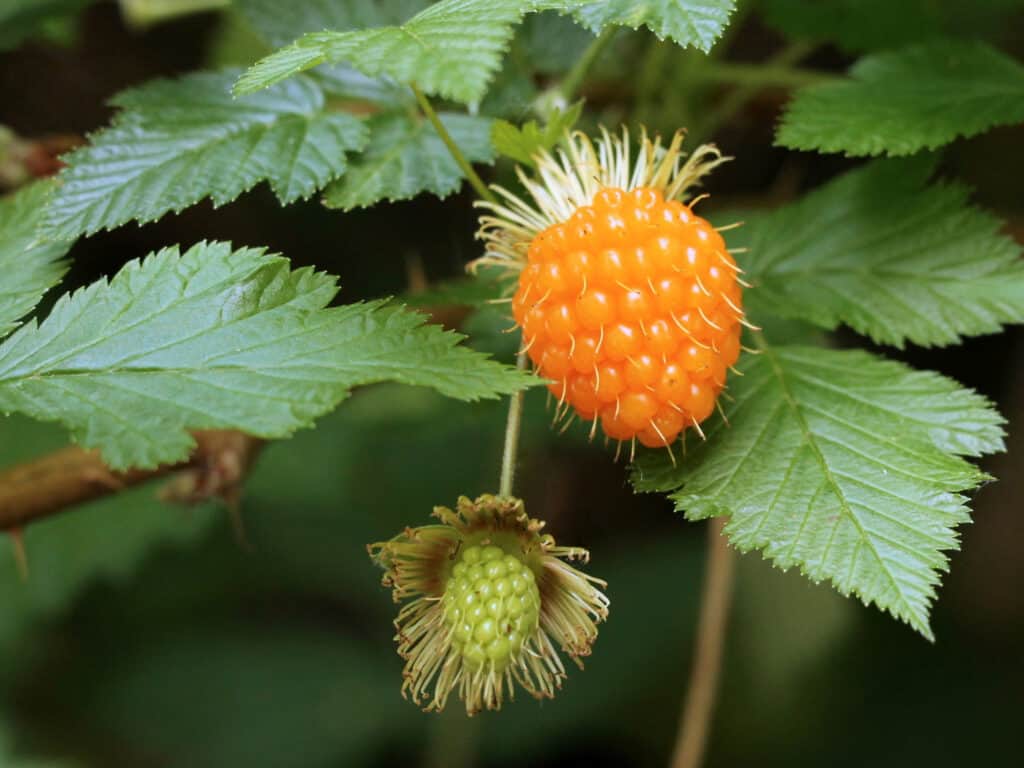
Salmonberries grow in certain areas near the Kuskokwim River.
©Randy Bjorklund/Shutterstock.com
Just like with the various animals found in and around the Kuskokwim River, there are a large variety of plants as well. Some of these plants are edible, while others are not. Never eat wild plants unless you’re sure you know what you’ve foraged.
Flora of the Kuskokwim River includes:
- Dwarf Birch (Betula nana)
- White Birch (Betula papyrifera)
- Felt Leaf Willows (Salix alaxensis)
- Salmonberries (Rubus spectabilis)
- Crowberries (Empetrum nigrum)
- Arctic Raspberries (Rubus arcticus)
- Many Mosses
- Many Species of Sedges
- Lichens
- Alders (Alnus)
- Labrador Tea (Rhododendron groenlandicum)
- Meadowsweet (Filipendula ulmaria)
The end of the Kuskokwim is a large delta that creates a marshland. This delta is also fed by the Yukon River, so it’s called the Yukon-Kuskokwim Delta. This delta has few trees, and the few present are usually alders.
Natives to the land know some tricks when it comes to finding the more delicious local plants. For example, seasoned foragers know that meadowsweet and labrador tea grows among dwarf birch. Knowing these kinds of intricate associations allows those who subsist on the land a better chance of finding their prized foods.
What to Do On the Kuskokwim River
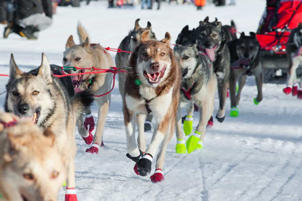
The Iditarod Trail Sled Dog Race is a big deal in the town of McGrath near the Kuskokwim River.
©iStock.com/Jeff Manes
The Iditarod Trail runs along the South Fork of the Kuskokwim. When the Iditarod Trail Sled Dog Race is held in early March, the city of McGrath is a checkpoint. With a population of just over 300 people, accommodations include 2 stores, a restaurant, and a bar. There is limited lodging available, but plans need to be secured well in advance.
If you decide to go to McGrath for the Iditarod Trail festivities, the weeklong celebration includes a fundraising dinner for the local museum and a public radio station. The museum contains interesting relics collected locally over the last few decades.
For example, a caribou sleeping bag of unknown age is on display. It was supposedly sold at one point for 10 Copenhagen cans and ammunition.
In the winter of 2020, an ice road from Sleetmute to Tuntutuliak on the frozen river was created. It is the longest ice road ever constructed on the river at 355 miles long. It is the primary mode of transportation when the river freezes, so you will travel it if you visit the region in the winter.
Usually, the seasonal road is about 300 miles long. Beginning with the 2022 to 2023 winter season, the State of Alaska is funding maintenance to keep this thoroughfare functioning while the river is frozen. For most visitors, traveling this road is a once-in-a-lifetime experience.
Where is the Kuskokwim River Located on a Map?
Southwestern Alaska plays host to the Kuskokwim River. It travels between the Kuskokwim Mountains and the Alaska Range Mountains. It is south of the Yukon River, which is also the only river that’s bigger than the Kuskokwim in Alaska.
Alaska holds the title for the longest river system entirely within one state because of the Kuskokwim River. It never leaves the state before it ends at Kuskokwim Bay. The Kuskokwim Bay is on the Bering Sea.
There are two main forks to the Kuskokwim called the North and South Forks. They drain nearby mountains before joining together near the city of McGrath. Where they converge is the beginning of the main Kuskokwim River.
The Kuskokwim River is also the USA’s longest free-flowing river. This means that this river is mostly unaffected by human enterprise, like damming. The Swift, Holitna, Stony, Kwethluk, Aniak, Kisaralik, and Eek Rivers are tributaries of the Kuskokwim River.
The photo featured at the top of this post is © JenniLovesTheVillage/Shutterstock.com
Thank you for reading! Have some feedback for us? Contact the AZ Animals editorial team.


