

Idaho is located in the Northwestern United States. To the north, Idaho borders Canada; to the west, it shares borders with Washington and Oregon; to the east, it borders Montana and Wyoming; and to the south, it borders Nevada and Utah. It is an unusually shaped state, with a boxy bottom and a long, crooked neck. Idaho is much taller than it is wide. But how tall is Idaho? The total distance from north to south is an astounding 479 mi (771 km), when measured is from the Canadian border to the southern border with Nevada. Continue reading to discover more about Idaho’s borders!
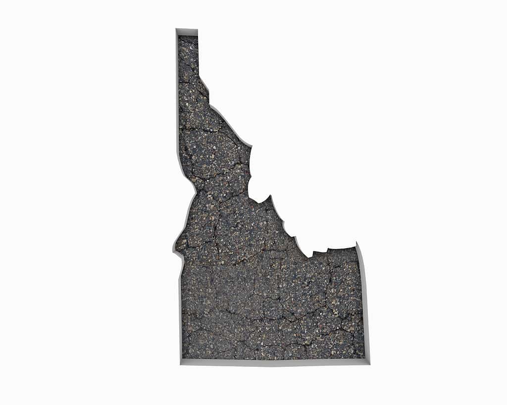
Idaho has a boxy bottom and a long, crooked neck.
©iQoncept/Shutterstock.com
How Tall Is Idaho? Northern Border
Early explorers and pioneers determined Idaho’s borders. Idaho became a separate territory in 1863 when President Abraham Lincoln signed the act creating the Idaho Territory. Even before it became a territory, The Oregon Treaty of 1846 between the United States and Great Britain determined Idaho’s northern border. The treaty established the 49th parallel as the boundary between the U.S. and Canada. Parallel refers to a line of latitude. In geography, latitude lines are horizontal lines that circle the Earth from east to west. They are measured in degrees north or south of the equator, which is at 0 degrees latitude. Therefore, the 49th parallel is 49 degrees north of the equator.
The international boundary between Idaho and Canada is 45 miles (72.4 km) long. It is the narrowest part of the state. There are two border crossings along the boundary between Idaho and British Columbia, Canada. The Eastport/Kingsgate Station is in the mid-state. The Porthill/Rykerts Station is farther east. Both stations operate 24 hours a day, seven days a week, 365 days a year.
How Tall Is Idaho? Southern Border
Idaho shares its southern border with the states of Nevada and Utah. The southern border of Idaho is remarkably straight because it follows to 42nd parallel. This is a result of the Adams-Onís Treaty of 1819. The treaty between the United States and Spain and was instrumental in shaping the borders of several western states, including Idaho. The treaty effectively established the 42nd parallel as the northern boundary of Spain’s colonial territory and the southern boundary of the United States in the western part of North America. When Idaho was organized as a territory and eventually admitted as a state in 1890, the 42nd parallel continued to be its southern boundary.
Therefore, another way to express the north (49th parallel)/south (42nd parallel) height of Idaho would be seven degrees.
Eastern Border
The rugged Rocky Mountains define Idaho’s eastern border. Wyoming lies to the south and Montana to the north. The border with Wyoming is relatively straight and defined by the Teton Mountains, which fall on the Wyoming side. Moving north toward Montana, the state line becomes 355 miles of twists and turns through the Continental Divide in the south and the Bitterroot Mountains farther north. An act of Congress in 1864 determined this boundary.
How Tall Is Idaho? Western Border
Oregon and Washington border Idaho to the West. The border is straight in the south and the north. The Snake River serves as a natural boundary in the mid-section of the Western border between the cities of Weiser and Lewiston. The Snake River flows from the Yellowstone National Park area in Wyoming through Southern Idaho, before turning north to create the border between Idaho and its neighbors to the West.
The present boundary between Idaho and Oregon was established in 1853 upon Oregon statehood. The Snake River forms the northern portion of Idaho’s western border with Oregon. Before turning due south to the 42nd parallel. Congress officially recognized the western border of Idaho and Washington in 1873. The border with Washington runs from the confluence of the Snake and Clearwater Rivers, due North to the 49th parallel, at the Canadian border.


How to Add Us to Google News


Thank you for reading! Have some feedback for us? Contact the AZ Animals editorial team.