
One of the most beautiful and beloved rivers in Oregon, the Deschutes River travels an incredible 252 miles from the high Cascades to the Columbia River. As it flows across the state, the river creates stunning canyons and valleys, its deep waters feeding the many incredible habitats it passes through. But have you ever wondered how wide the Deschutes River is at its widest point? In this article, we discover the width of the Deschutes River, its volume, and how it compares to other rivers in Oregon.

Where is the Deschutes River on a Map?
The Deschutes River flows through the center of Oregon, originating in the Cascade Range near Little Lava Lake and northwest of La Pine. The river then flows north through several major cities in Oregon. It joins the Columbia River near Biggs Junction and The Dalles along the border of Washington.
How Wide Is the Deschutes River at Its Widest Point?
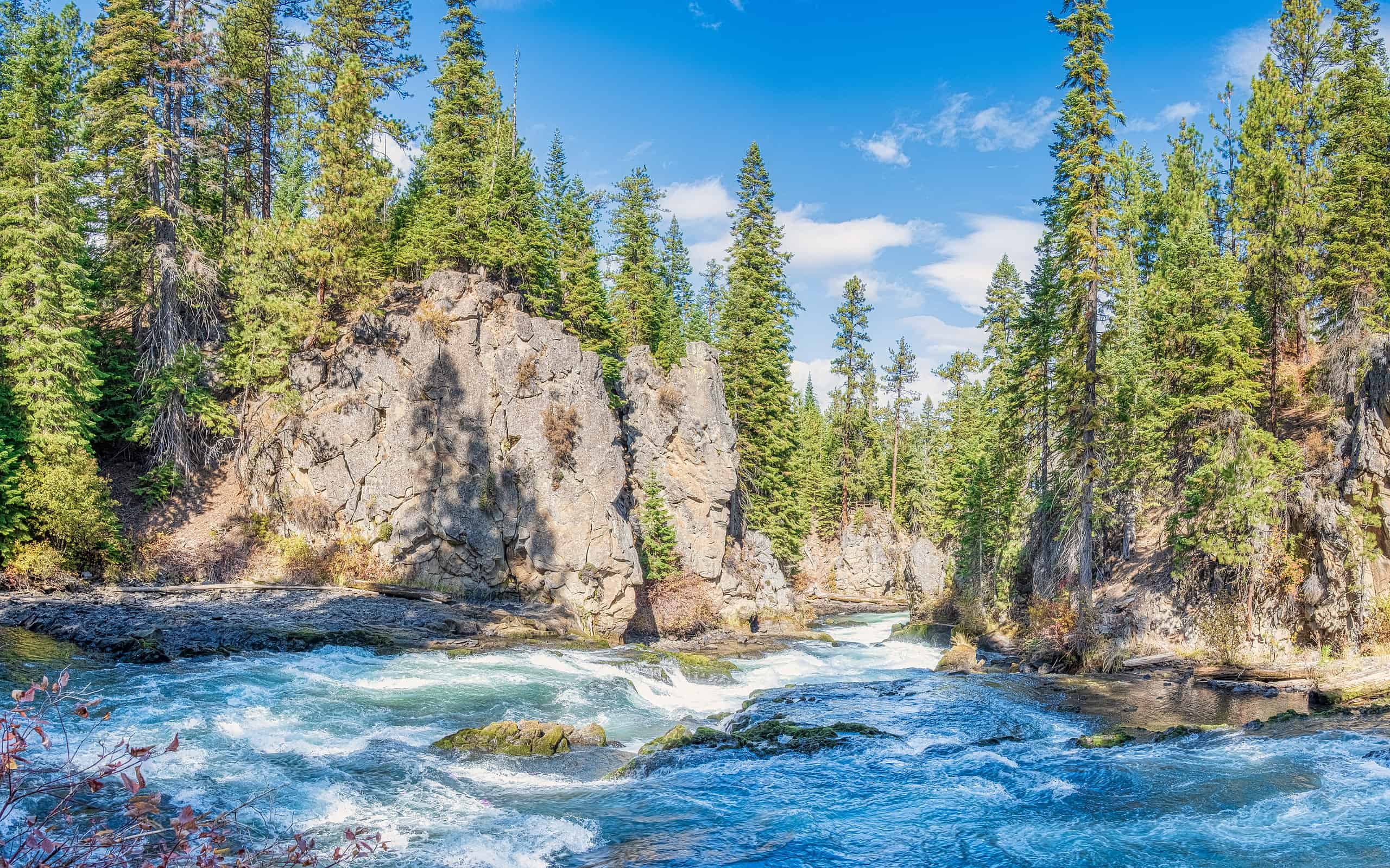
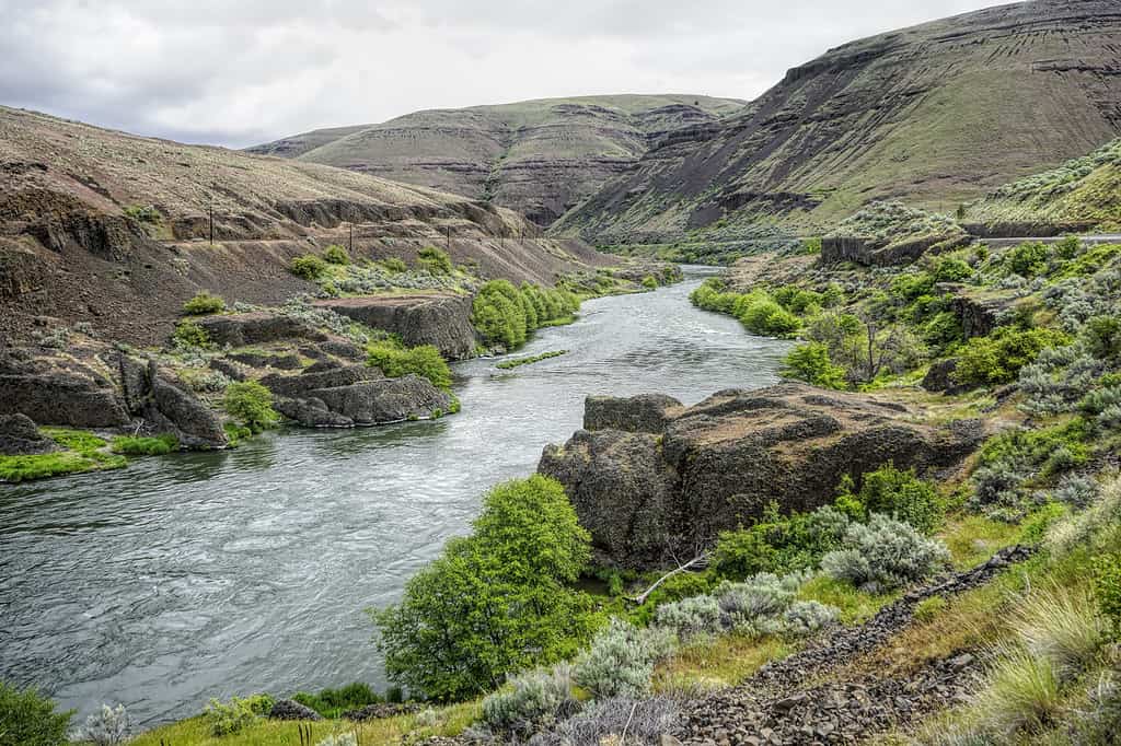
The Deschutes River carved many beautiful valleys.
©Strekoza2/iStock via Getty Images
At its widest point, the Deschutes River is around 570 feet wide. This large width of the river is located just before it merges with the Columbia River, on the southern edge of Moody Island. Along its entire 252-mile length, however, the width of the Deschutes River fluctuates, ranging between narrow sections just 100 feet wide to larger stretches more than 300 feet across.
Located in Central Oregon, the Deschutes River begins in the Cascade Range of La Pine at Little Lava Lake. It eventually merges into the Columbia River, ending just five miles southwest of Biggs Junction.
How Large is the Deschutes River in Volume?
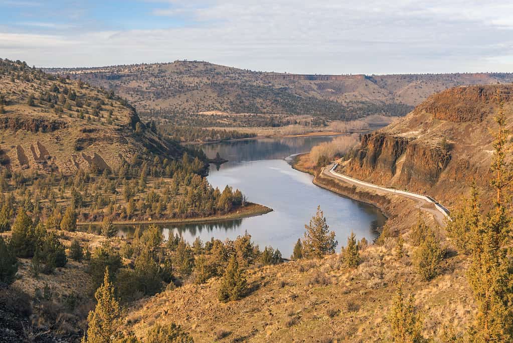
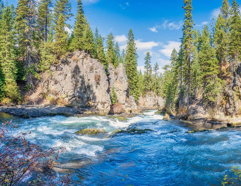
The landscape surrounding the Deschutes River is incredibly diverse.
©steve davis/iStock via Getty Images
River volume is commonly measured by discharge, or how much water flows through a river at certain points. Historically, the Deschutes River has a steady water flow, in part due to its underground sources. However, as more trees are cut down and more land is used for farming, its flow continues to change. In addition, the volume of the Deschutes River fluctuates depending on the season, with its highest flow from the end of spring through the beginning of summer.
According to the U.S. Geological Survey, in 2023 the Deschutes River’s discharge near Madras was around 3,550 cubic feet per second at its lowest point, and around 6,700 to 6,800 cubic feet per second at its peak. At Moody and near Biggs, however, the Deschutes River peaked at 12,200 cubic feet per second, while during the summer and early fall, it fell to around 4,200 cubic feet per second.
How Large is the Deschutes River Watershed?
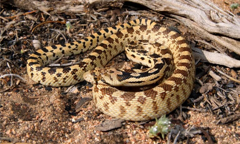
The Deschutes River and the Deschutes River Canyon are home to at least 300 different wildlife species.
©garytmarsh/iStock via Getty Images
The Deschutes River Basin is the second-largest watershed in Oregon, encompassing more than 10,000 square miles. It includes a dynamic range of different landscapes, from volcanic terrain and deserts to riparian habitats and dense forests. For several thousand years, Native American tribes here relied on the river and the river basin for its abundant resources.
The Deschutes River and river basin are commonly divided into three sections. Anglers frequent the Upper Deschutes River due to its accessibility and exceptional fishing. The Middle Deschutes River is known for being a cultural center of Oregon. It has several prehistoric sites, stunning landscapes, and incredible ecosystems. Steep basalt canyons, waterfalls, beautifully sculpted rock, whitewater rapids, and plenty of fishing also make this portion of the river quite popular. The Lower Deschutes River is well-known for its recreational opportunities, with many areas for hiking, paddling, swimming, biking, fishing, and camping.
How Does the Deschutes River Compare to Other Rivers in Oregon?
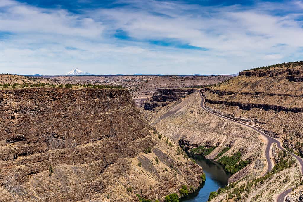
Benham Falls on the Deschutes River are rated as Class 5 for watercraft.
©Wirestock/iStock via Getty Images
The Deschutes River contributes to the Columbia River, but it is much smaller, measuring 252 miles long. The Columbia River, on the other hand, is one of the largest rivers in North America, measuring 1,243 miles long. In addition, while the widest portion of the Deschutes River is around 570 feet across, the massive Columbia River spans six miles wide near its mouth.
The Crooked River is one of the tributaries of the Deschutes River. It is smaller than the Deschutes River, measuring 125 miles. Beginning in Misery Flat and the South Fork Crooked River, it then runs west to the Deschutes River and Lake Billy Chinook.
Further east of the Deschutes River, the John Day River is another important river in Oregon. It is also a tributary of the Columbia River. Measuring 284 miles long, it is one of the longest rivers in the United States without dams.
Although the Williamette River is shorter than the Deschutes River — just 187 miles long — it is one of the largest rivers by volume in the United States. It is also the largest watershed in Oregon, while the Deschutes is the second largest.