
Snow is a lot more complicated than frozen water born from the sky. Snow types and related weather events can affect what you see outside of your window on a charming winter day. We illuminate the world of snow by describing the five most common types of snow crystals and breaking down the difference between snow-related weather events.
How Does Snow Occur?
Snow is precipitation in the form of ice crystals. In order for it to snow, it must be 32°F or below. Any precipitation above this temperature results in rain because water cannot freeze at temperatures higher than 32°F.
Is Snow Important?
Like rain, snow is an integral part of maintaining a large aspect of livability on our planet.
Snow can be present year-round in regions that maintain a cool temperature, but the longevity of the snow and ice can persist for years in some areas. In areas that receive snow seasonally, snowfall eventually evaporates or melts. As snow melts towards the end of the season, it can help defrost a layer of earth and provide water to plants appearing at the start of spring.
Old snow and firn have deeper implications for the earth. Snow that turns into ice can form layers known as ice sheets or ice caps. Their layers have unique atmospheric data that can be used to determine climate information from many years past. It can also provide insights for the future. While these types of snow accumulation are not the norm in most regions, large formations of snow aid in the monitoring of the climate, water cycle, and temperature management of the earth.
Snow Crystals
As you might guess, there’s much more to snow crystals than what we typically call “snowflakes”. Most snow crystals are just frozen water vapor. These crystals take different forms and have varying qualities, depending on external conditions.
The type of snowfall and the weather conditions affect how the snow accumulates on the ground, if it sticks at all. Throughout the winter, the gradual melting and refreezing of snow can change the landscape. For example, the first snowfall of the year, if not significant, will likely be very powdery and melt within the first day or so.
A significant snowfall at the beginning of the winter can lead to dense snow and ice that takes months to melt. The snow can easily be shaped into balls for winter activities, and a layer of ice and packed snow allows for sledding and skiing. All of those things wouldn’t be possible if it were not for a complex classification of snow crystals and the accompanying weather conditions.
Here are the different kinds of snow crystals and some information on how they’re formed:
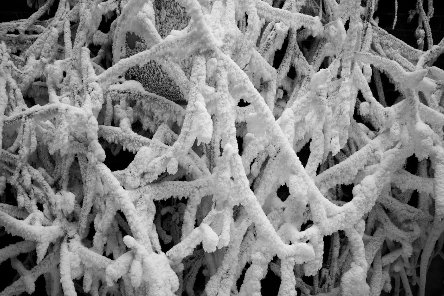
Snowflakes
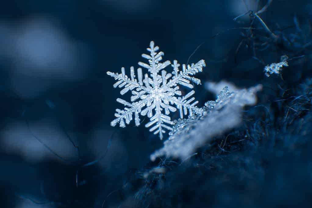
Snowflakes can have many different beautiful and symmetrical configurations.
©Mariia Tagirova/Shutterstock.com
The most widely known snow crystal is a snowflake. Snowflakes are either singular crystals or clumps of crystals (polycrystals) that come directly from clouds. They’re most recognizable as symmetrical, six-sided picturesque crystals. Snowflakes form when a very cold, but not frozen, water droplet comes in contact with dust or pollen. Upon contact, a primary ice crystal forms. The other six protrusions on the primary ice crystal are picked up on the way to the ground. This is the most common type of ice crystal you’ll see.
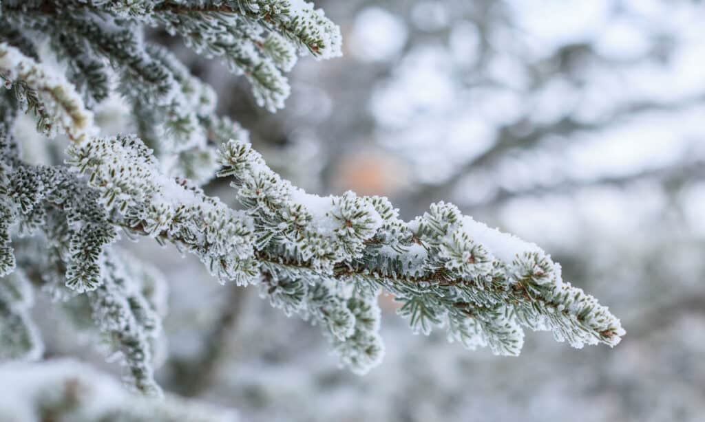
Hoar Frost
This type of frost can have a “feathery” appearance.
©Olexandr_Ft/Shutterstock.com
Snow and frost differ in the ways they form. Snow is created in the atmosphere, while frost is formed closer to the ground or solid surfaces. Hoar frost is most common on plant stems, poles, or other similar surfaces. It forms when the surface the ice crystal touches is colder than the surrounding environment, causing it to immediately congregate and freeze. Sometimes it takes the shape of rose petals. Other times, like when on the edge of a leaf, it simply looks like little individual crystals.
Rime Frost
Frost is generally a thin layer of ice deposits on surfaces. You can classify frost based on how it freezes.
©Gary C. Tognoni/Shutterstock.com
Rime frost and hoar frost can be hard to differentiate by appearance alone. They both tend to immediately supercool on similar surfaces and can have a similar crystal-forming structure. However, rime frost comes from a liquid state that is cooled into a solid state, known as freezing. Alternatively, hoar frost skips the liquid state and goes directly to a solid state. This is called deposition.
Graupel
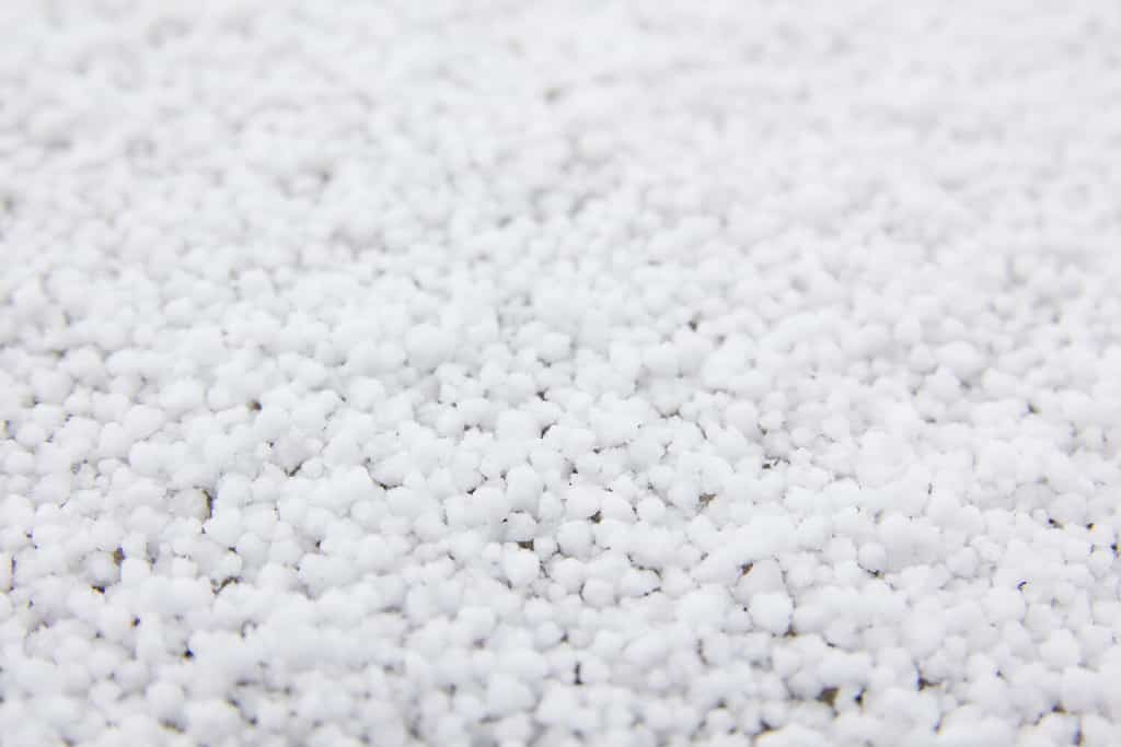
“Soft hail” is another term for graupel.
©swa182/Shutterstock.com
Graupel is a type of hail, though its composition makes the texture somewhat odd. It’s a crumbly pellet of ice that is not quite liquid but not quite frozen either. Graupel forms when a snow crystal and a supercooled (but not frozen) droplet of water meet up. This forms a large crystal that does not completely freeze but can retain its shape.
Watch, Advisory, and Warning: What’s the Difference?
Weather systems classify the severity of the expected weather in three ways: watches, advisories, and warnings. These are the three terms you’ll most often encounter when checking the weather forecast. Understanding these terms can give you a better sense of safety during times of adverse weather conditions.
A watch is typically given about 24 hours before the weather event is likely to occur, with more than a 50% certainty of its occurrence. Winter storm watches mean the conditions for a winter storm to form are favorable and authorities suggest being prepared for imminent inclement weather. Watches can upgrade to an advisory or warning if conditions change.
Advisories indicate the incoming conditions have the potential to cause harm to life or property. To issue a winter storm advisory, snow accumulation needs to meet certain criteria. Blowing snow and freezing rain with wind can also be enough to issue a winter storm advisory in some states.
Warnings are indicative of more severe weather concerns, such as blizzards or heavy snow. They also typically mean there is a significant chance of damage or threats to life or property.
Snow-Related Weather Classifications
Now that we know what to look for, here are the most common types of snow-related weather classifications you’re likely to encounter:
Snow Flurries
Snow flurries, if not followed by snow showers and more freezing conditions, will usually melt quickly.
©cwieders/Shutterstock.com
A flurry is a light snow that doesn’t usually lead to any accumulation. It’s airy and any amount that sticks to the ground won’t be around for long. This type of snow is “powdery” because of its texture and loosely packed crystals. Snow flurries are the least intense kind of snowfall. They can happen at any point when the weather is below 32°F.
Snow Showers
Snow showers are the ideal type of snow for those looking for a winter wonderland atmosphere.
©arlutz73/ via Getty Images
Like rain showers, snow showers proceed for a length of time and might end in some accumulation on the ground depending on the overall environmental and surface temperatures. Snow showers can progress into more dangerous weather events depending on the rate of snowfall, wind, and temperature.
Snow Squalls
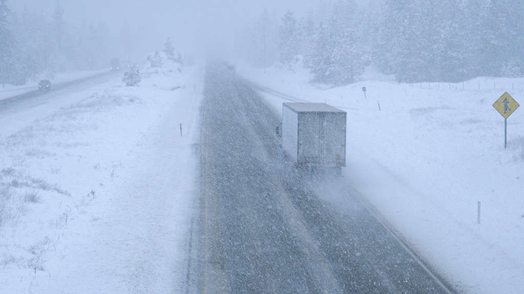
Snowfall mixed with wind is a dangerous combination, especially for those traveling.
©helivideo/iStock via Getty Images
These are more intense bouts of snow that have high gusts of wind associated with them. They can be dangerous and tend to lead to a higher accumulation of snow than snow showers alone. However, they usually don’t last very long. If you’re on the road during a squall, you should pull over in a safe area and waiting it out. Stay safe during points of low visibility.
Blowing Snow
When snow accumulation on the ground is picked up by the wind, it results in blowing snow.
©CO Leong/Shutterstock.com
Blowing snow results when falling snow is taken up by wind gusts. It can also be caused by wind rushing over ground snow. The height of blowing snow can reach 8 feet or more, which is high enough to affect vision and travel. Blowing snow can be dangerous because it reduces visibility and can displace snow in large amounts. It can happen at any time during a windy day, so always be on alert for a sudden lack of visibility due to blowing snow.
Blizzards
A blizzard will often deposit inches, if not feet, of snow and can pose a threat to those in the area.
©iStock.com/hayesphotography
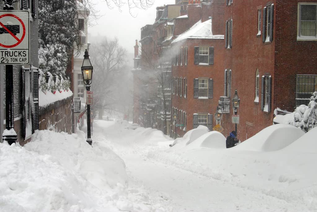
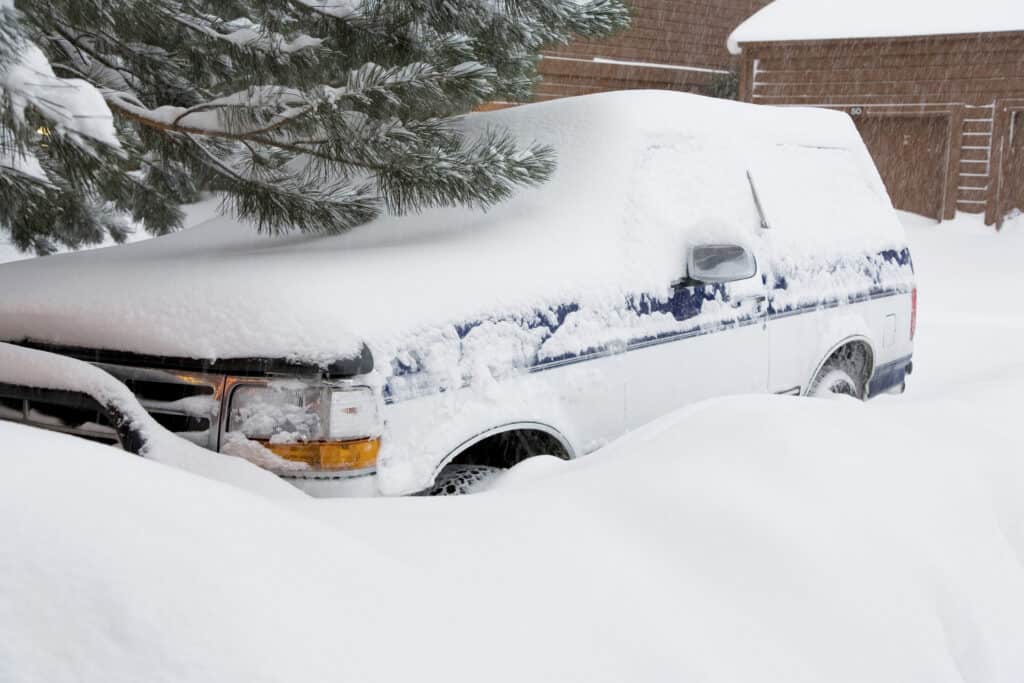
Blizzards are the most dangerous snow type. They drastically reduce visibility for at least three hours and are accompanied by gusts of wind over 35 miles per hour, meaning plenty of blowing snow. Blizzards can cross multiple states, similar to hurricanes, and can last days in worst-case scenarios. Heavy snowfall and winds can lead to power outages, falling trees, or other hazards to life. If there is an advisory or blizzard warning in your area, don’t take it lightly. Store items such as extra canned goods, medication, and batteries in the event of power outages.
Other Types of Snow-Related Conditions
These next three categories don’t directly fall under the “snow” umbrella but commonly come up when winter weather is occurring.
Freezing Rain
Not quite snow, not quite rain, freezing rain immediately freezes upon contact with any surface that is at or below the point of freezing. It’s originally a snowflake that winds up melting but then supercools when it reaches a freezing layer of air. This can cause ice to form. Periods of freezing rain are referred to as “ice storms”.
Sleet
Sleet forms when partially frozen water falls through a layer of warm air. Then, it passes through another layer of freezing air right before hitting the ground. The outcome is a slushy substance that freezes completely before ultimately hitting the ground. Sleet can accumulate and later melt and freeze into ice.
Ice
Ice, as we all know, is liquid water that has frozen into a solid. It becomes extremely slippery to walk and drive on and can pose quite a danger. Commonly, you’ll hear of “black ice” in reference to wintery road conditions. Despite its name, black ice is clear. It is simply a thin layer of ice that has formed on a road or pavement. Since it’s transparent, it looks just like the black road it is sitting upon, giving it its common name. The presence of black ice can mislead drivers into thinking they have traction on the roads.


How to Add Us to Google News


Thank you for reading! Have some feedback for us? Contact the AZ Animals editorial team.