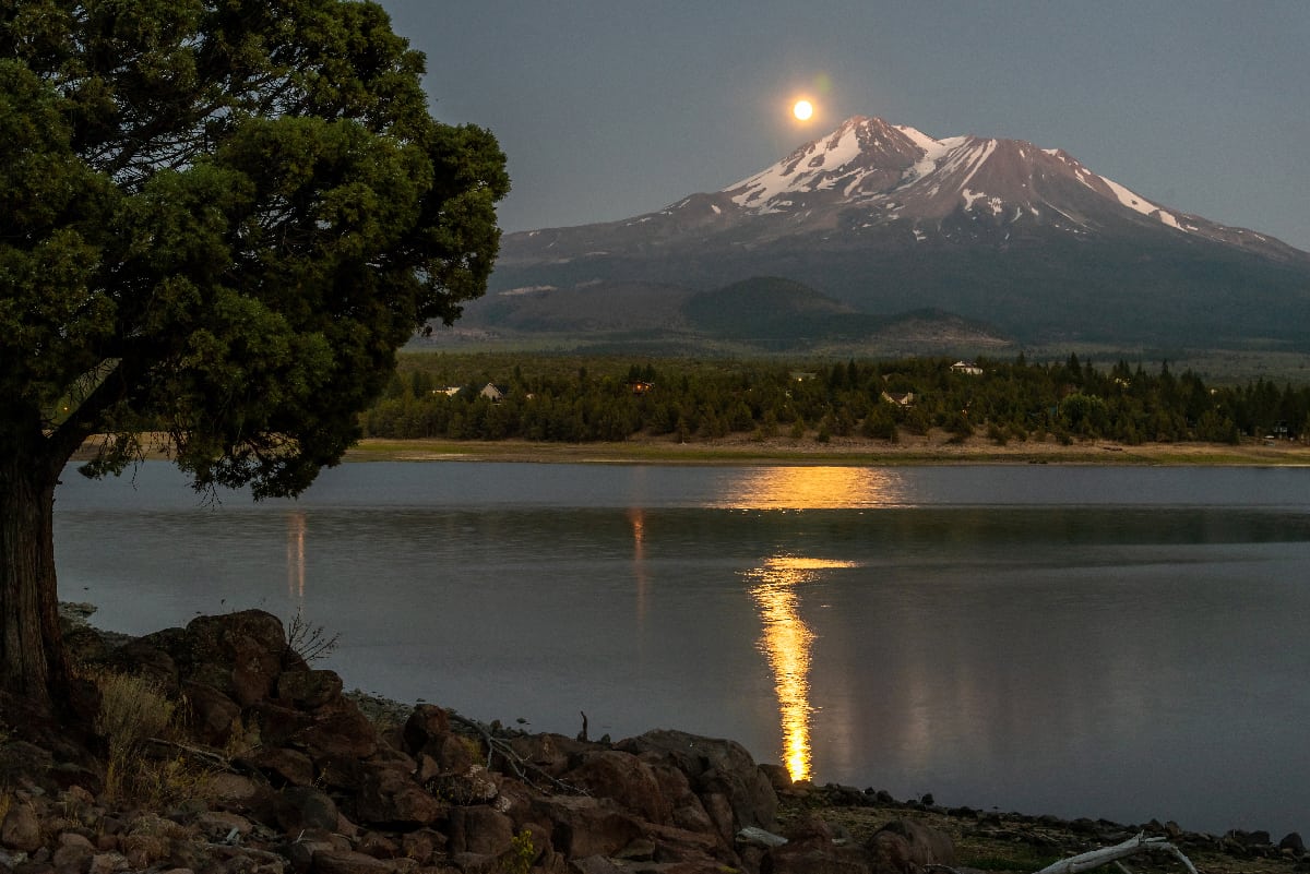
Mount Shasta is a large volcano and mountain located in northern California. It is the fifth-tallest mountain in the entire state, with a rich history and lore surrounding the volcano. Continue reading to explore 21 Mount Shasta facts, some of which may just surprise you!
Mount Shasta is the second-tallest mountain in the Cascade Range.
Because of its height, this mountain stands out among the landscape.
©Leonid Andronov/Shutterstock.com
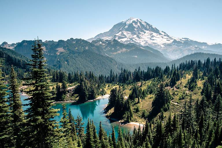
Undoubtedly, Mount Shasta is an incredibly tall volcano. Its peak reaches an elevation of 14,179 feet. It stands out among other mountains in the Cascade Range.
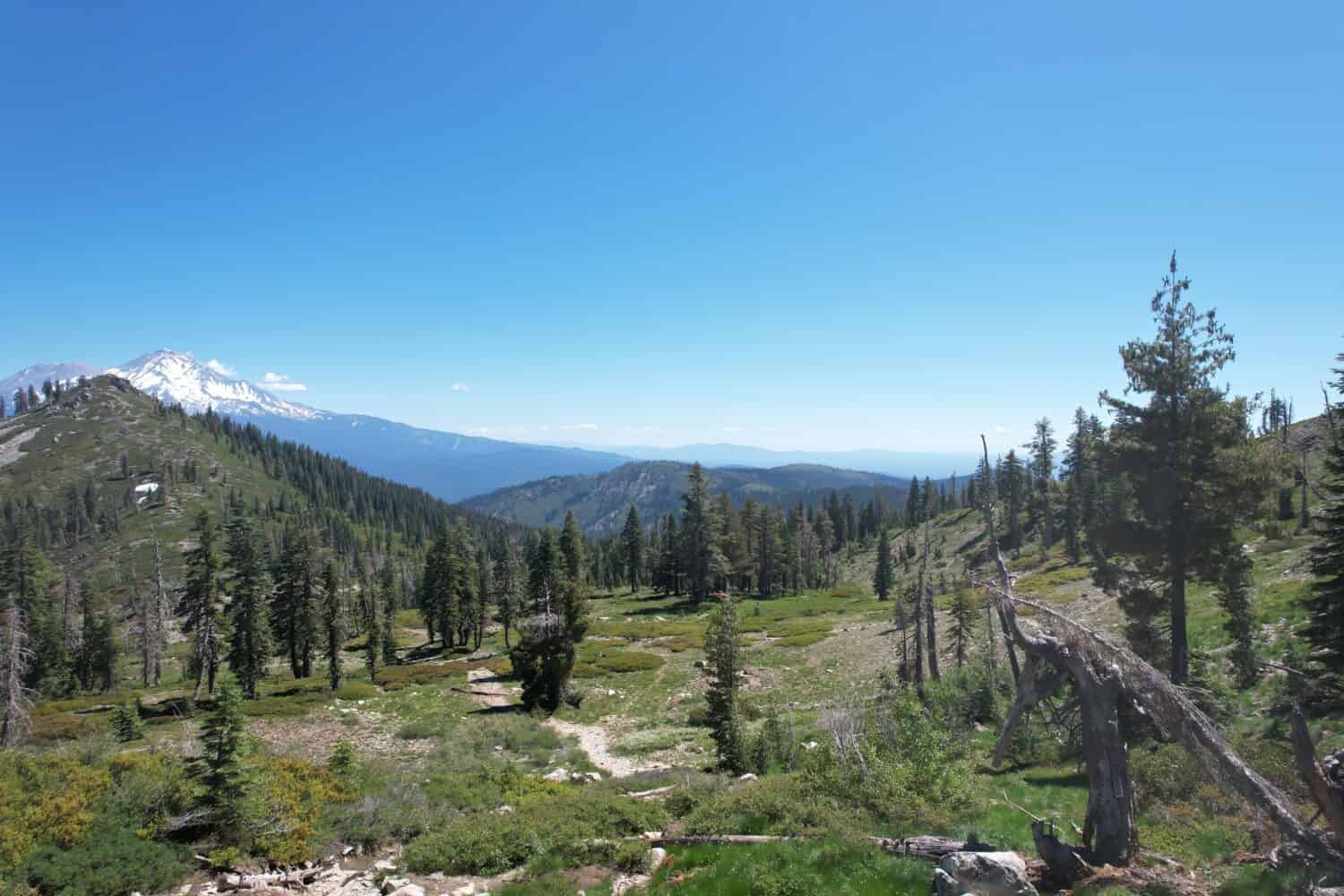
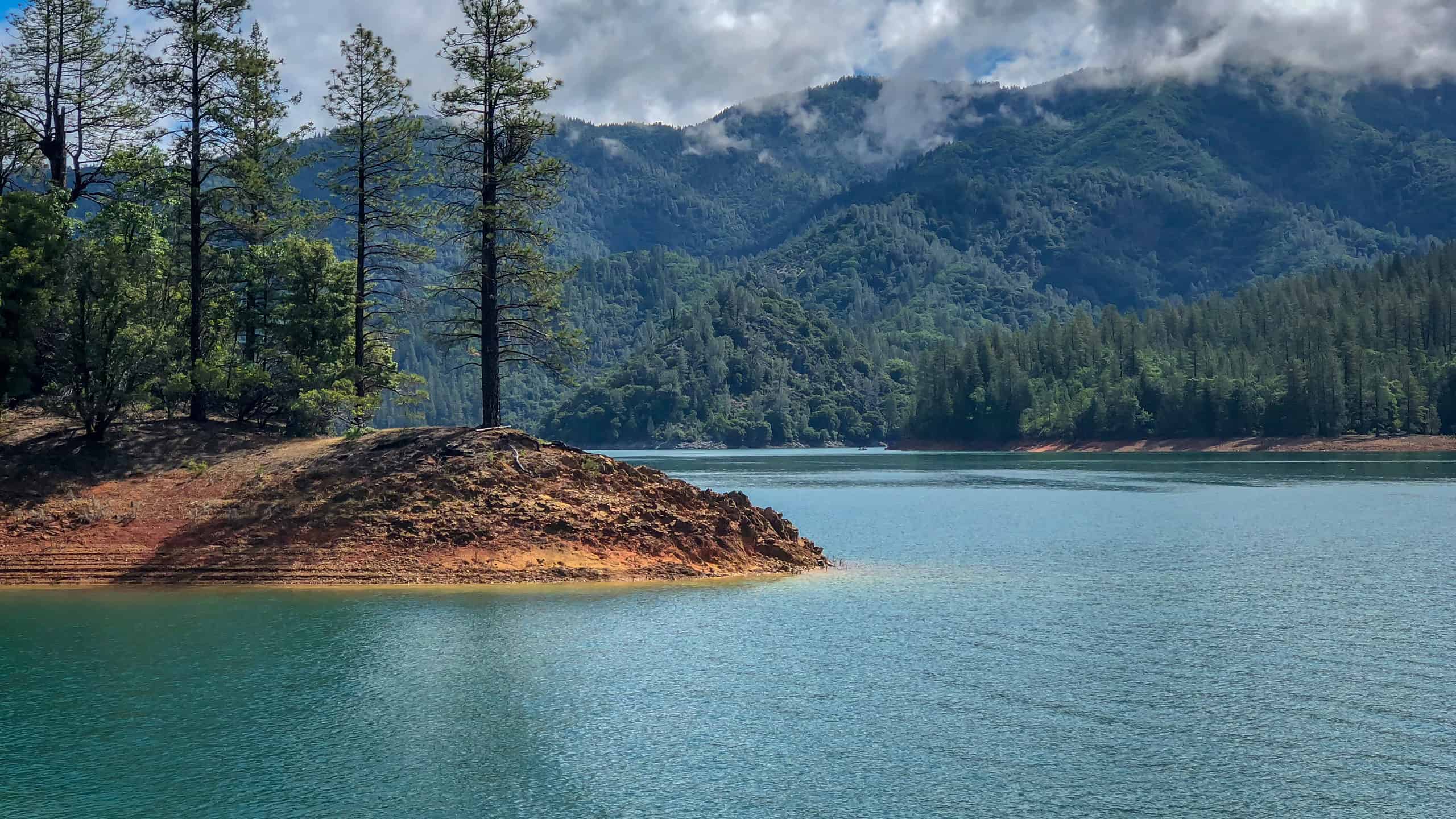
This mountain is located in the Shasta-Trinity National Forest.
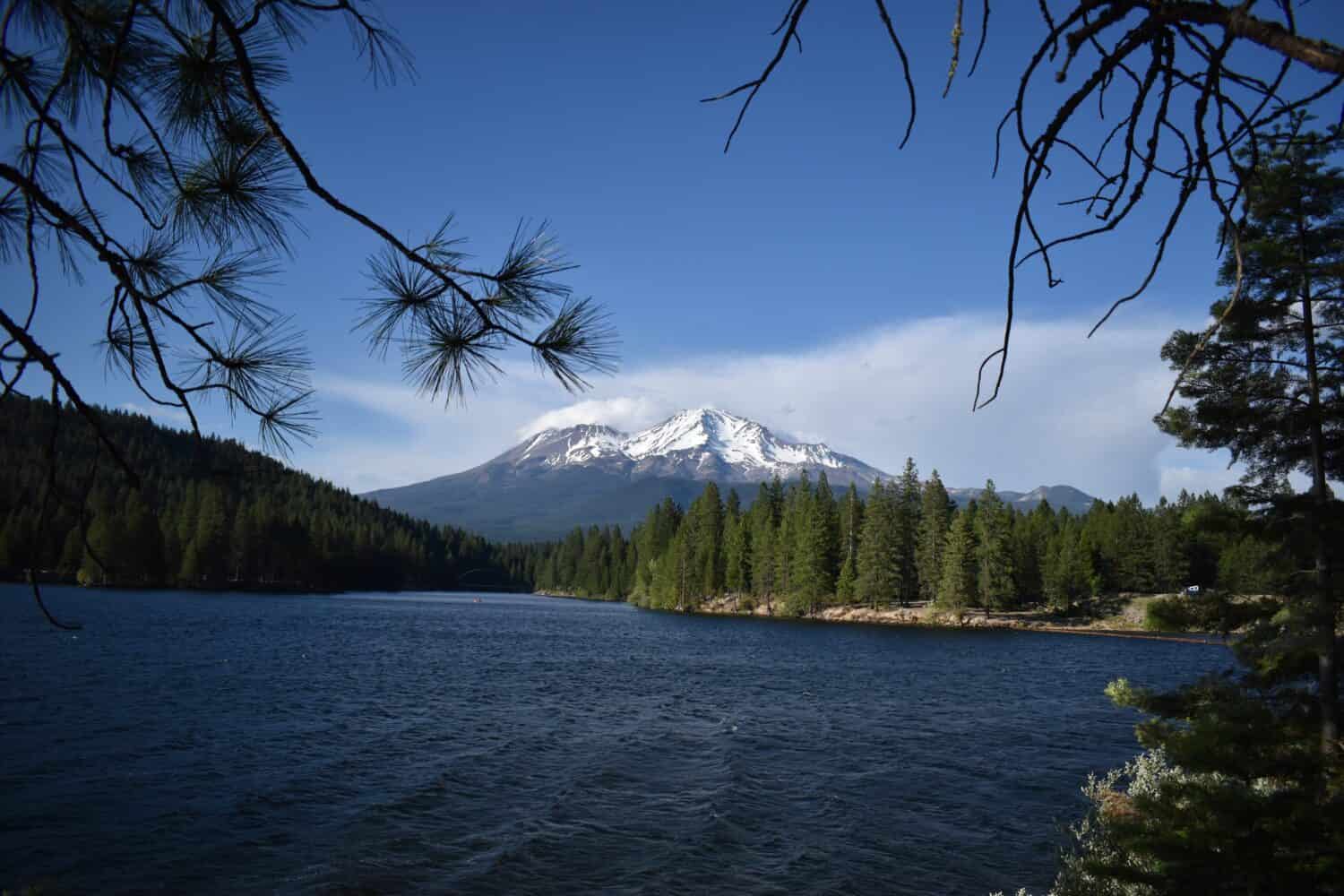
Mount Shasta is a notable landmark in this National Forest.
©Leonardo H. Bandeira/Shutterstock.com
In 1954, two of the National Forests in California, the Trinity National Forest and the Shasta National Forest, combined. Today, the Shasta-Trinity National Forest houses Mount Shasta.
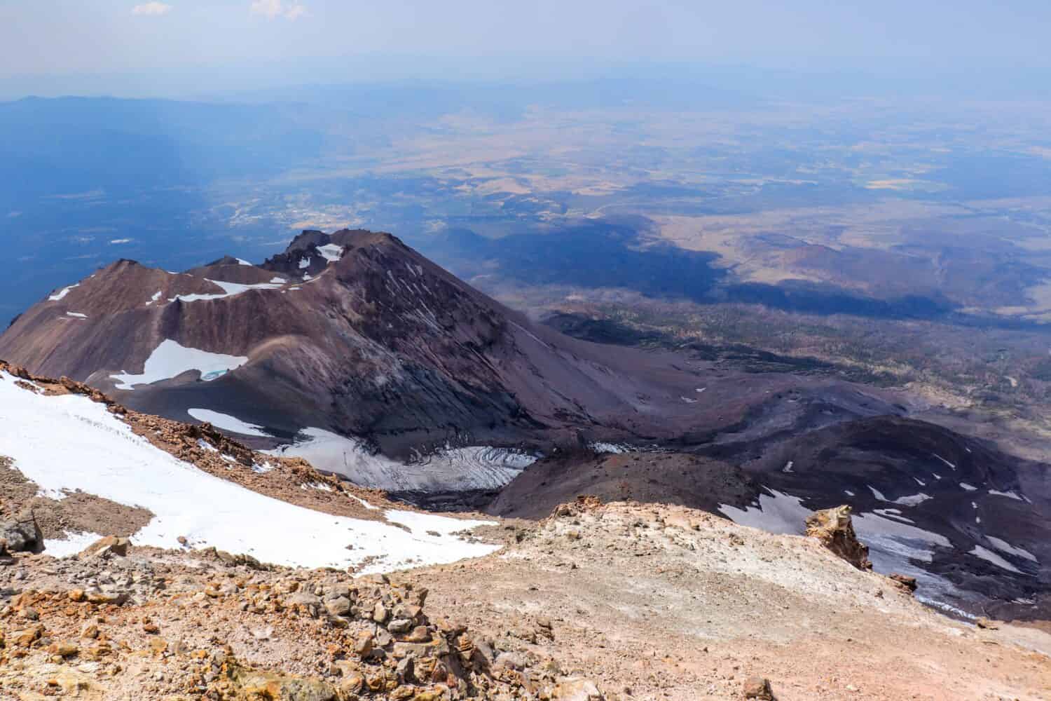
There are seven (named) glaciers on Mount Shasta.
Mount Shasta has a snowy cap.
©LHBLLC/Shutterstock.com
There are seven glaciers with names on Mount Shasta, including:
- Whitney
- Bolam
- Hotlum
- Wintun
- Watkins
- Konwakiton
- Mud Creek.
These occupy different areas of the mountain, and they vary in shape and size.
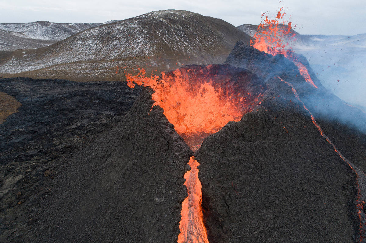
Mount Shasta is a stratovolcano.
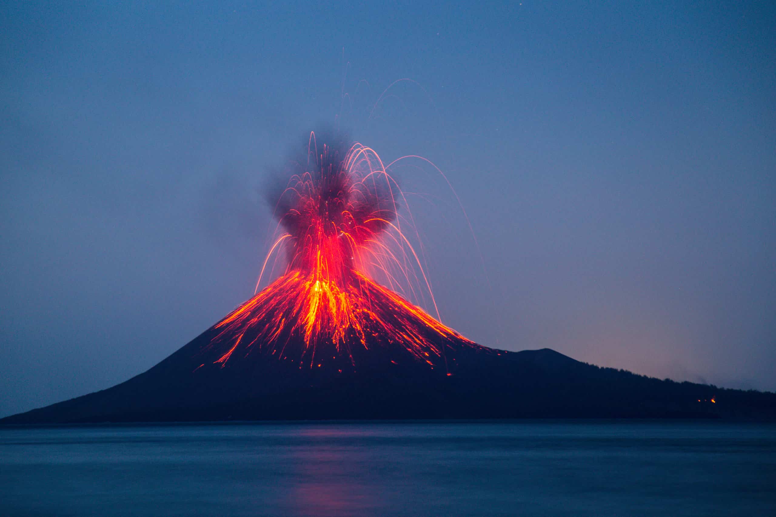
There are many types of volcanoes.
©Deni_Sugandi/Shutterstock.com
A stratovolcano is also known as a composite cone or composite volcano. These are volcanoes comprised of many layers of hardened lava and other geological materials.
Prehistorically, Mount Shasta was involved in one of the largest landslides ever.
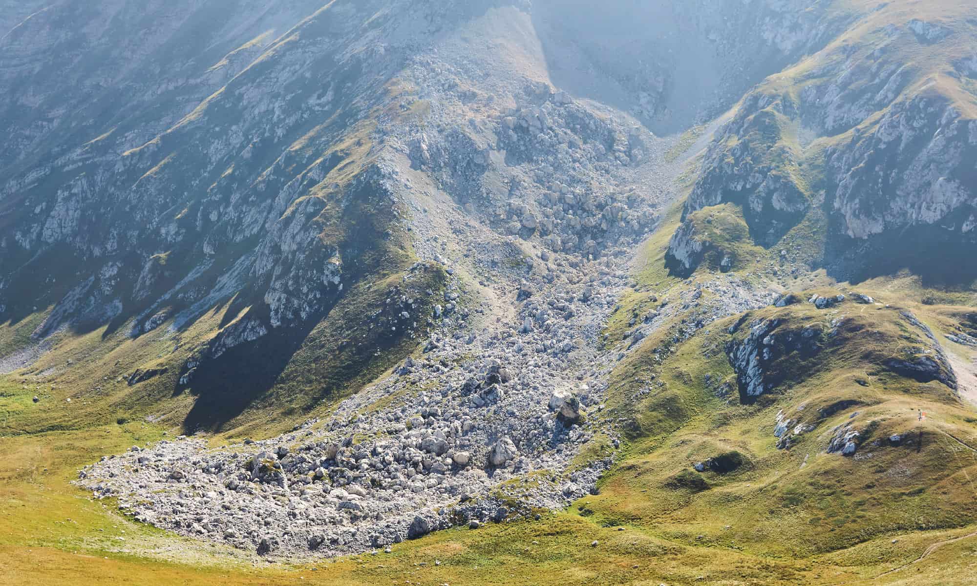
This partial collapse scattered parts of Mount Shasta around the nearby landscape.
©iStock.com/Евгений Харитонов
Researchers believe that Mount Shasta experienced a partial collapse around 300,000 years ago. Many of the small hills surrounding the base of the mountain are thought to be geological remains from this collapse.
The oldest known human settlement near Mount Shasta is thousands of years old.
Humans have lived around Mount Shasta for thousands of years.
©iStock.com/Jerry Hamblen
Science dates the oldest human habitat around Mount Shasta to around 7,000 years ago. Some of the Indigenous peoples that lived around the mountain during this time include the:
- Shasta
- Okwanuchu
- Modoc
- Achomawi
- Atsugewi
- Karuk
- Klamath
- Wintu
- Yana.
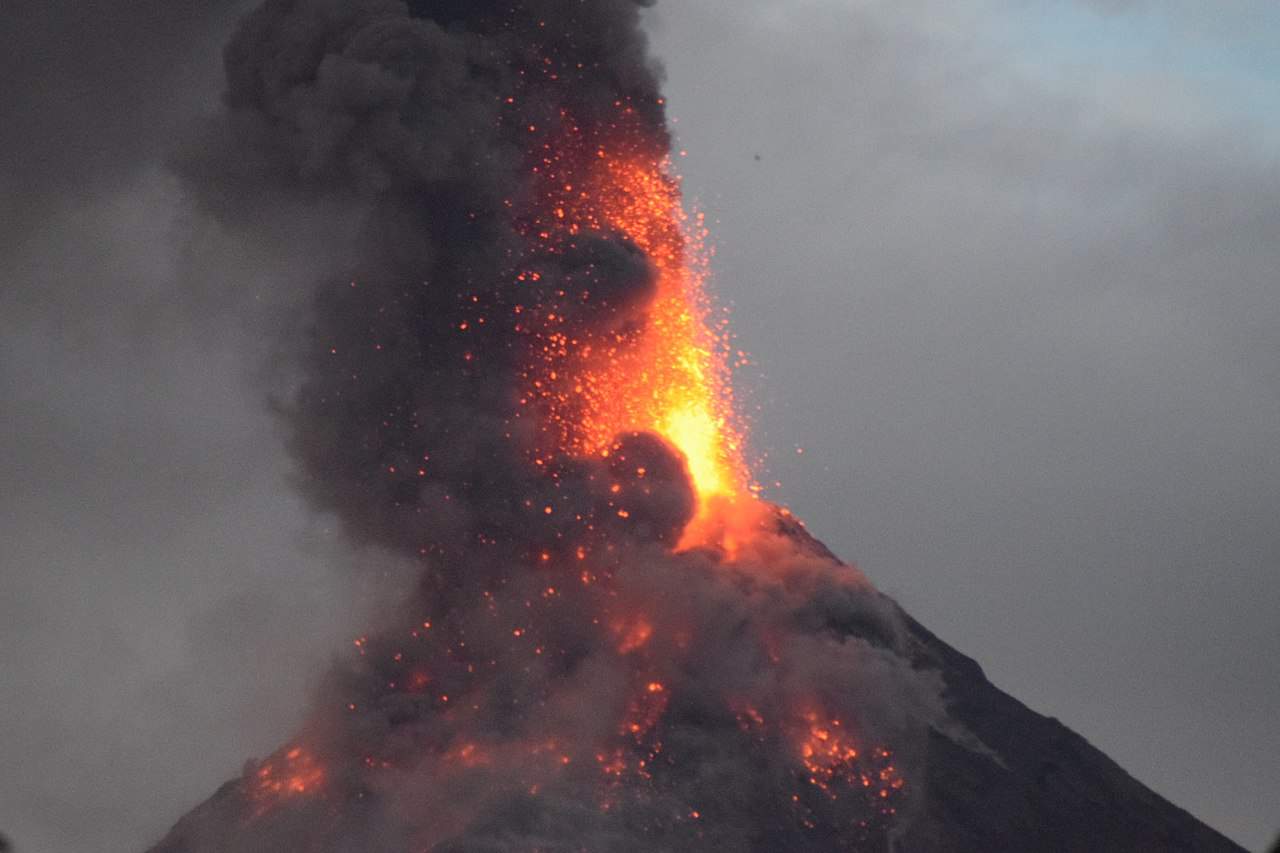
The last known eruption from Mount Shasta was in 1250 AD.
It has been hundreds of years since Mount Shasta last erupted.
©Gani_Prastowo/Shutterstock.com
Some historical sources say that Mount Shasta may have erupted in 1786. However, the last known eruption dated using carbon dating was in 1250.
The known first person reached the peak of Mount Shasta in 1854.
Mount Shasta can be climbed within a day, although two days is often best.
©DreamArt123/Shutterstock.com
Elias Pearce first ascended the mountain in 1854, making him the first known person to reach the peak. A few years later, in 1856, Harriette Eddy, Mary Campbell McCloud, and others in their party became the first women to reach the peak.
The United States Geological Survey rates Mount Shasta as a high-threat volcano.
There have been no major disturbances recorded in Mount Shasta to suggest an eruption any time soon.
Mount Shasta has, on average, erupted every 600-800 years. However, in recent decades, the volcano has shown little to no activity.
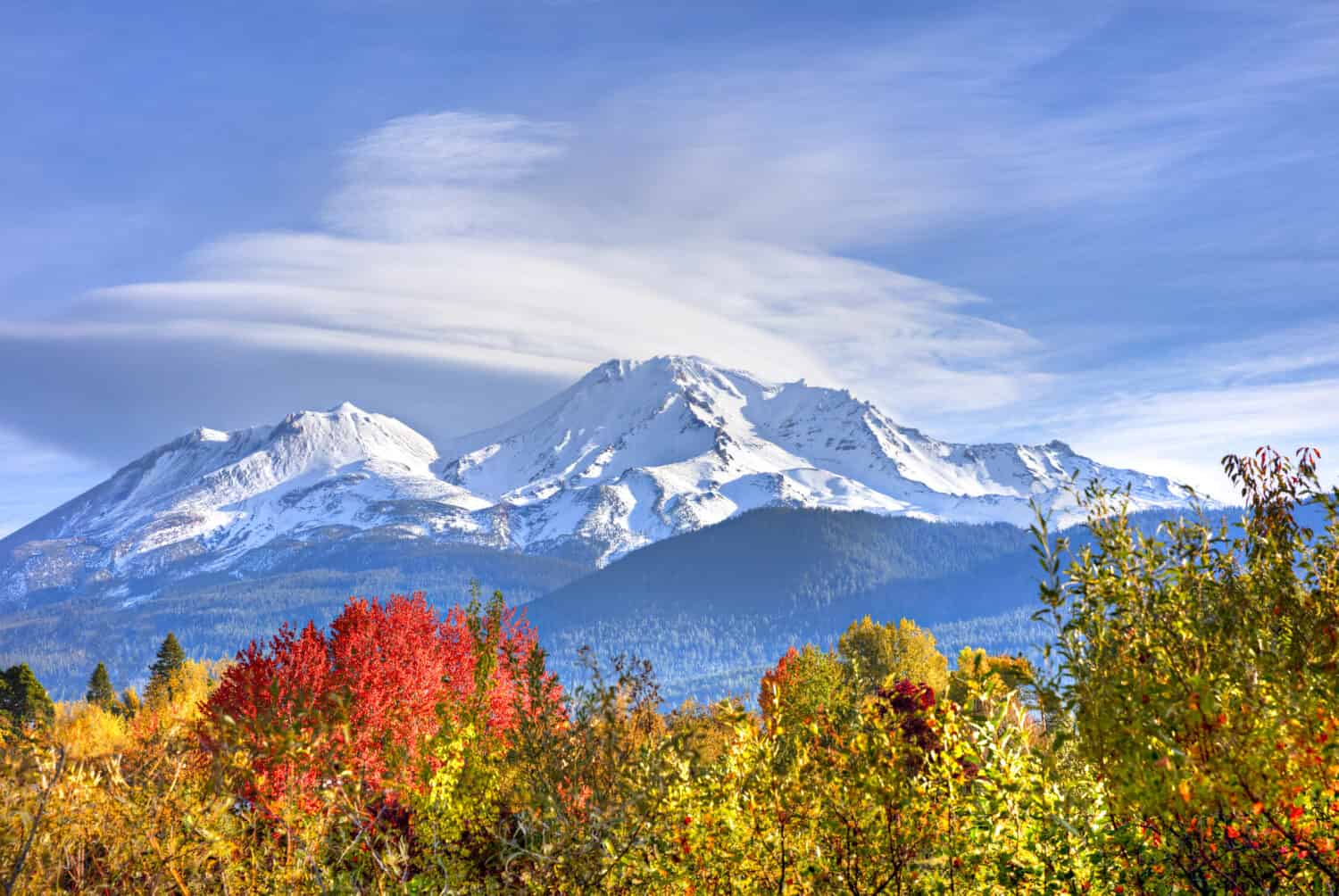
Mount Shasta is well-known for its lenticular clouds.
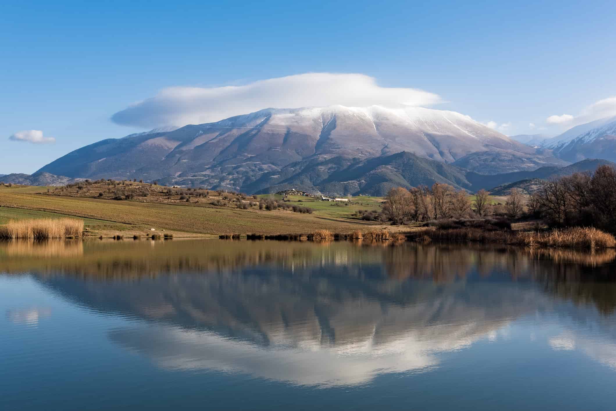
Lenticular clouds, like those seen at Mount Olympus, have a distinct shape.
©dinosmichail/iStock via Getty Images
These are clouds that create a lens shape around the peak of Mount Shasta. Because of their unique shape and size, they have led many people to believe that aliens may inhabit the mountain.
For many, Mount Shasta is considered sacred.
Many cultures and religions have a special place in their beliefs for Mount Shasta.
©TheSocialHermit/Shutterstock.com
Mount Shasta is an important spiritual symbol for many cultures throughout the United States.
Mount Shasta is the root or location of much lore.
This volcano is a significant figure in many tales of lore.
©iStock.com/ChrisBoswell
Aliens aren’t the only lore surrounding Mount Shasta. The volcano has also been known to be connected to spirits, gods, and chakras.
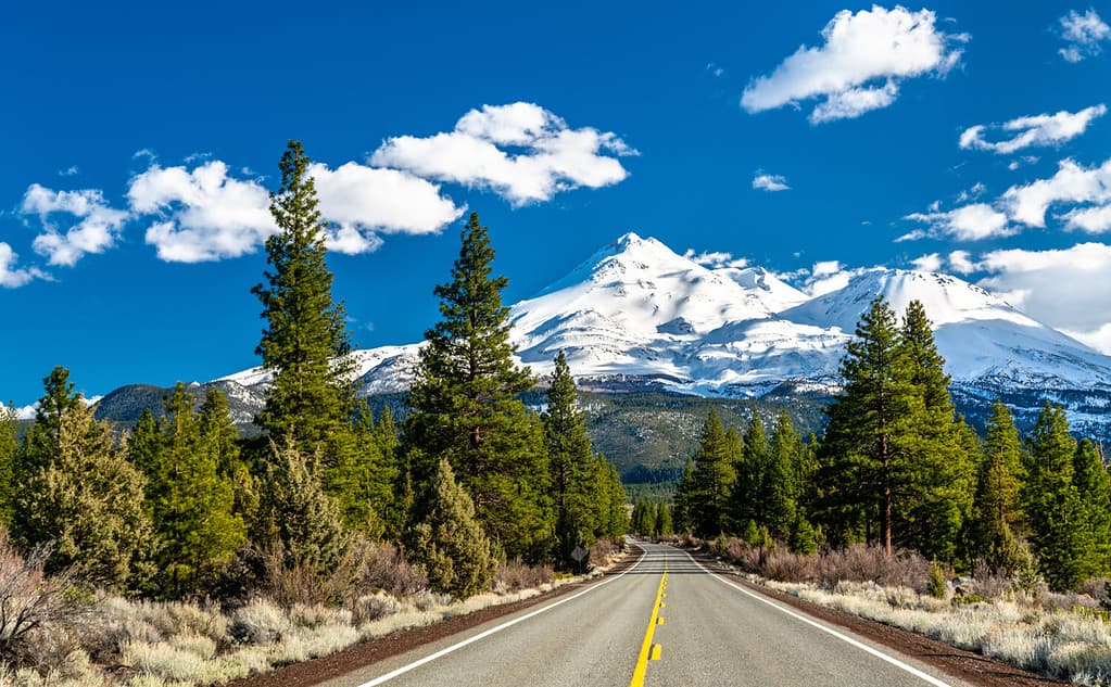
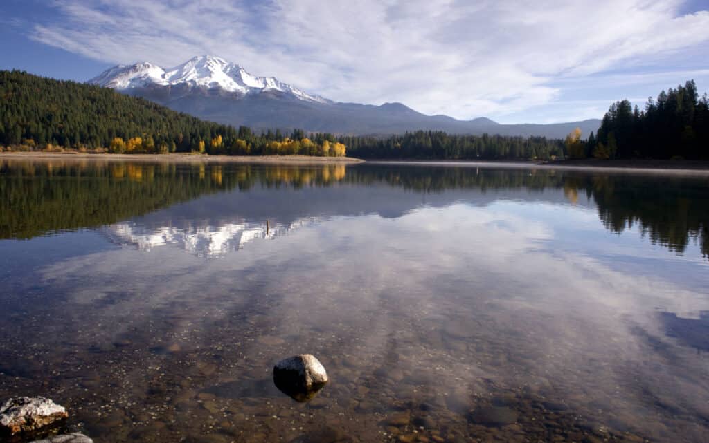
On a clear day, Mount Shasta can be seen from over 100 miles away.
Its height allows Mount Shasta to be a prominent figure on the horizon.
©Dreamframer/Shutterstock.com
When weather conditions permit, you can see Mount Shasta from 140 miles away from the Central Valley. This is most often seen in winter when there is less cloud coverage than during the summer months.
As of 1839, Mount Shasta was named Rogers Peak.
The earliest maps of California have Mount Shasta with a different name.
©Kent Weakley/Shutterstock.com
When it was first discovered by settlers, the name Shasta belonged to another mountain. However, efforts by multiple parties, including the United States Exploring Expedition, gave Mount Shasta its name in 1841.
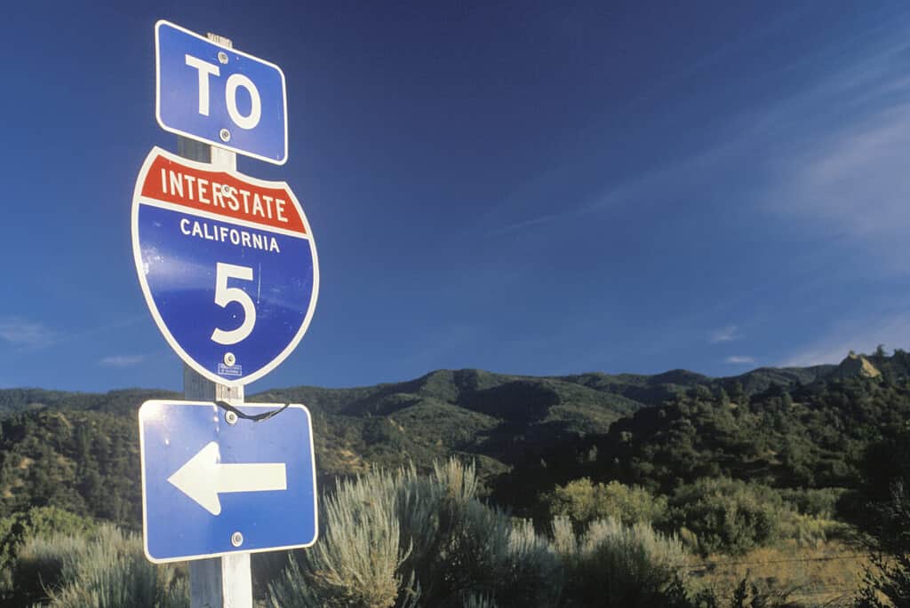
One of the original trails near the mountain was known as Siskiyou Trail.
There are lakes named for the Siskiyou Trail.
©DreamArt123/Shutterstock.com
The Siskiyou Trail was one of the original, most notable trails passing by Mount Shasta. It followed an ancient trade route.
Interstate 5 replaced the Siskiyou Trail and brings hundreds of people to Mount Shasta each year.
This interstate shows off the landscape of the volcano.
©Joseph Sohm/Shutterstock.com
Today, you can no longer visit the original Siskiyou Trail. However, Interstate 5 follows much of the same path.
One ski resort on Mount Shasta received 15.75 feet of snow in a single storm.
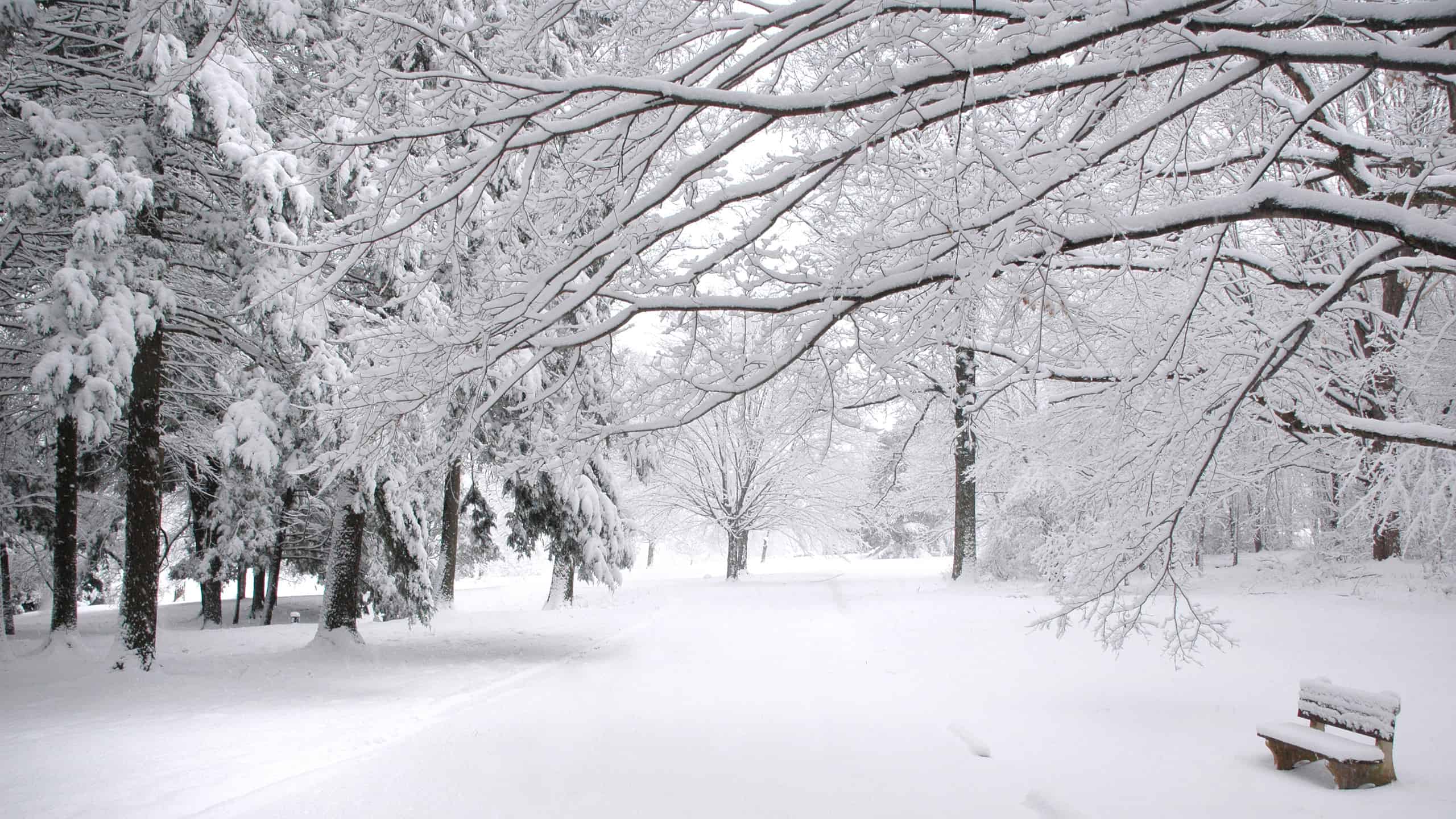
15 feet is just under the height of an adult giraffe.
©Michael Macsuga/Shutterstock.com
This storm occurred in February and lasted around six days.
Many books and poems have been written about Mount Shasta.
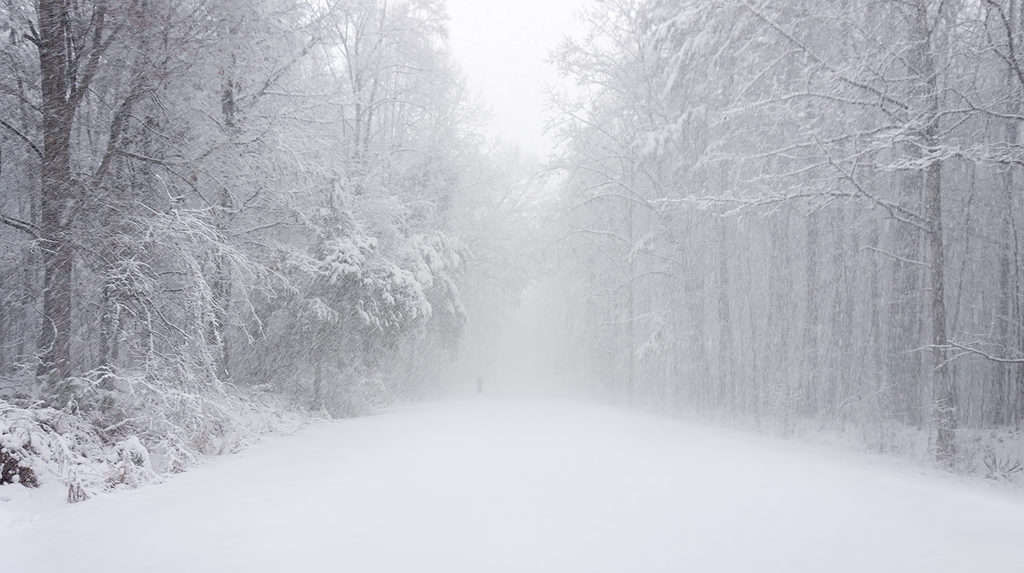
One traveler became stuck at the mountain during a blizzard and had to fight for survival.
©Charles Collard/Shutterstock.com
This includes poems, historical books, and memoirs. One memoir recounts a blizzard survivor’s experience.
Mount Shasta became a National Natural Landmark in 1976.
Its National Natural Landmark title helps protect this volcano.
©Devin Powers/Shutterstock.com
The National Natural Landmark Program focuses on raising awareness and conservation of significant sites like Mount Shasta.
The first Euro-American settlements appeared in the area around the time of the American Gold Rush.
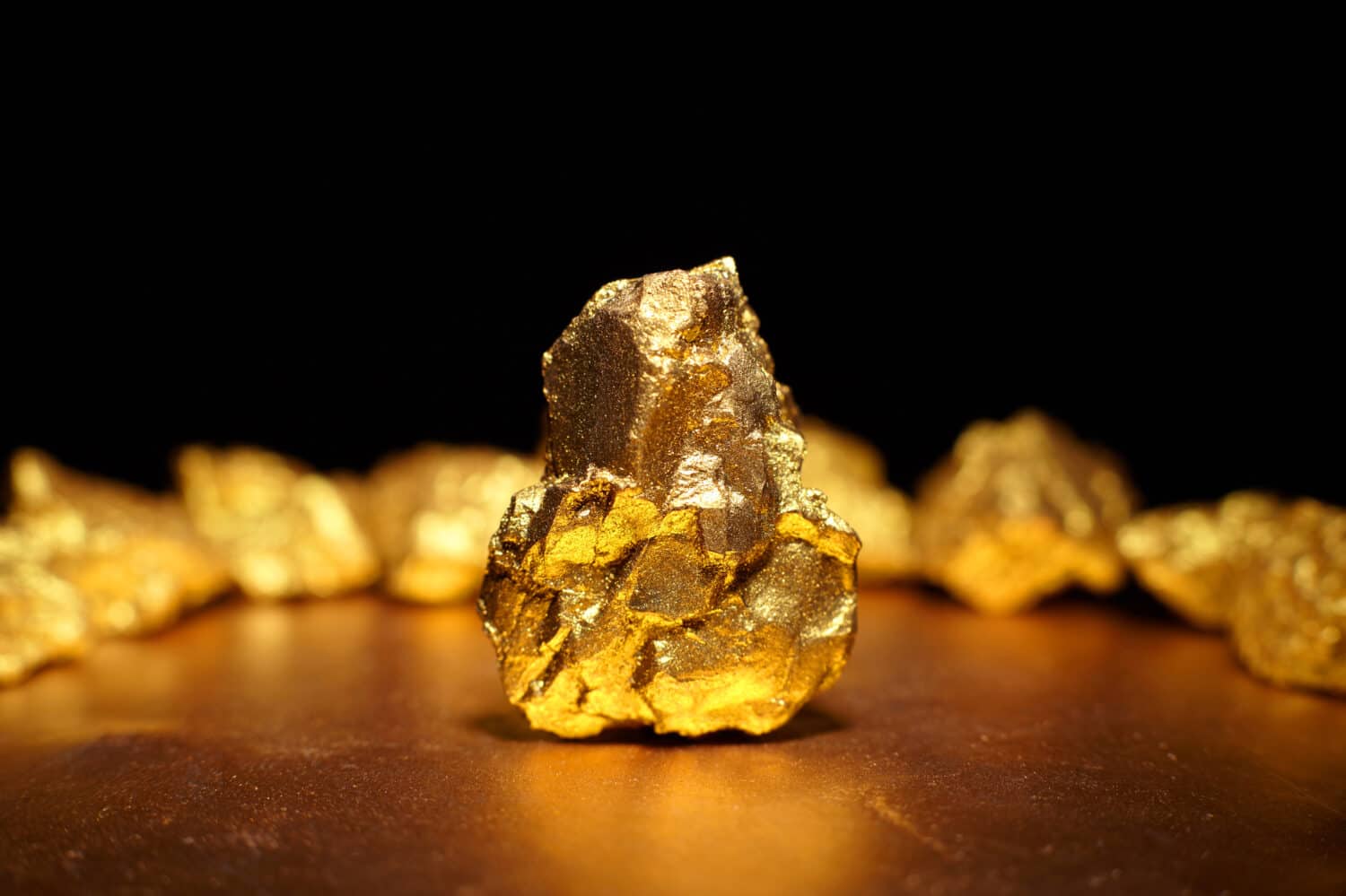
Much of the Gold Rush happened around Mount Shasta.
©Roman Bodnarchuk/Shutterstock.com
This occurred during the 1850s when many eastern settlers moved west in pursuit of gold.
If Mount Shasta did erupt, it would be similar to Mount St. Helens in 1980.
An eruption from Mount Shasta could be dangerous.
©Cavan-Images/Shutterstock.com
This includes ash that would travel hundreds of miles and likely linger in the sky for days.