
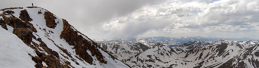
Lake Powell is a reservoir on the Colorado River on the border of Utah and Arizona. It’s the second-largest reservoir in the United States. Along with Glen Canyon Dam, it provides hydroelectric power and water to millions of people. Two million people visit the lake every year for recreational purposes. But Lake Powell is drying up. Since the year 2000, the Southwestern United States has suffered from a serious drought. The water level in Lake Powell has dropped by 62%, leaving it only 38% full. If the water drops below 3,490 feet, the Glen Canyon Dam will no longer be able to generate electricity. It is currently at only 3,581 feet. Clearly, if we don’t find a way to fill Lake Powell, it’s just a matter of time before the lake evaporates to an unsustainable level.
Some people have proposed radical solutions, like pumping water over the Rocky Mountains from the Mississippi River. This solution would be expensive, environmentally damaging, and take many years to complete. However, there is a solution to fill Lake Powell that would not require pumping water all the way from the Mississippi. It’s something that could be done in the state of Colorado at a fraction of the cost. But it might just transfer the problem from one region to another. Read on to find out what this possible solution is and see if you think it’s the best option.
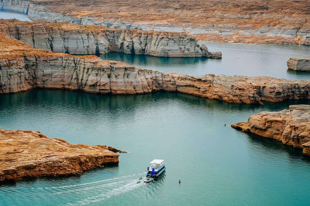
Lake Powell’s water level is at only 38% capacity due to a decades-long drought.
©HannaTor/Shutterstock.com
The Southwest Water Problem
The Southwest water crisis is not a new problem. Judging from the evidence of tree rings and the geologic record, California has gone through significant periods of drought for at least 1,000 years. Perhaps related to climate change, the droughts of recent years have been among the worst the region has seen in the past 500 years. Lake Powell and Lake Mead are the two largest reservoirs in the United States. Both are on the Colorado River, and both are just at about a third of their capacity.
If this situation continues, they could dry up to the point that their dams can no longer generate electricity or supply anywhere near enough water to the region. This would have national and international implications. If agriculture and ranching were disrupted in the Southwest, food prices could rise worldwide. People would begin migrating from the region to other parts of the country, stressing infrastructure and inflating the cost of living in the places they move to.
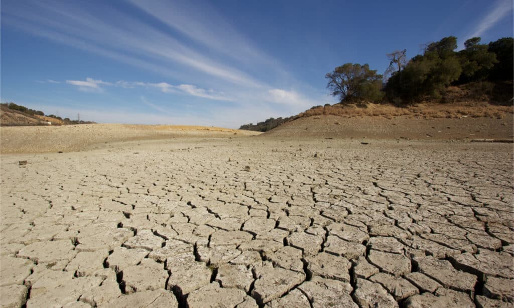
If the drought continues, Lake Powell and Lake Mead may no longer be able to provide sufficient water.
©Jake Osborne/Shutterstock.com
A Radical Solution
Because of the severity of the crisis, some people have begun suggesting radical solutions. One is to divert water from the Mississippi River to the Colorado River. The Mississippi discharges 4.5 million gallons of water per second into the Gulf of Mexico. This amount of water would be more than enough to replenish the Colorado and its reservoirs. How could we accomplish such a feat? It would take building a series of aqueducts, reservoirs, and large pipelines to move the water over a thousand miles uphill from the Mississippi River to the Continental Divide of the Rocky Mountains. From there, it’s downhill to the Colorado River. To achieve its purposes, this project would require a pipeline measuring 88 feet in diameter or a channel 100 feet wide and 61 feet deep.
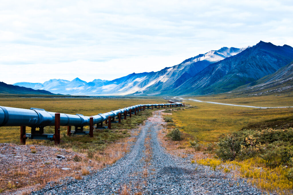
A pipeline from the Mississippi River would have to cross a thousand miles.
©iStock.com/kyletperry
Pipeline Problems
Building this water pipeline doesn’t involve any radically new technology. Our engineers know how to do it, but some formidable obstacles stand in the way of achieving this feat of geoengineering:
- Cost: The project could potentially cost hundreds of billions of dollars.
- Politics: It requires the cooperation of states in different parts of the country with different political inclinations. Each one will seek its own advantage and negotiate hard.
- Land rights: The government would need to buy property from private landowners to build the pipeline, seizing it through eminent domain laws if necessary. This would be costly, entail lenghty court battles, and would incense public opinion.
- Timing: It would take decades to build. It couldn’t be planned, approved, and constructed fast enough to solve the immediate dire water needs of the Southwestern states.
- Ecology: Water diversion could introduce pollutants to the Colorado watershed from the Mississippi. It could lead to swamp ecosystems in parts of the Louisiana Delta being flooded with back-washing seawater as the freshwater supply receded.
- Invasive species: The project could inadvertently transfer troublesome invasive species from the Mississippi into the Colorado River. Examples are zebra mussels, round gobies, rusty crayfish, Asian carp, and faucet snails.
- Navigation: Depending on where along the Mississippi the water extraction took place, downstream states would have lower water levels. This could impact commercial navigation on the river and infrastructure built with higher water levels in mind.
- Security: It would be very difficult to guard the entire length of a pipeline from potential sabotage or acts of war that could disrupt the water supply for the heavily populated and economically crucial Southwestern states.
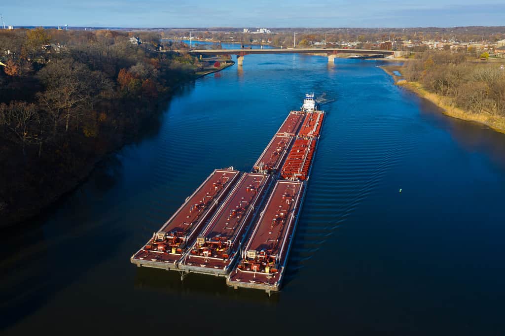
Removing large amounts of water from the Mississippi River could impact commercial navigation.
©Steve Gadomski/Shutterstock.com
Colorado’s Water Resources
Precipitation
Precipitation in the state of Colorado falls mainly in the form of snow in the mountains. It generates on average 13.7 million acre-feet of water flow in the state’s streams and rivers. Less than 40% of this – 5.3 million acre-feet – is consumed within the state. The rest is allowed to proceed down the Colorado River to other states under the terms of interstate water-sharing compacts. Colorado gets 83% of its water from rivers, lakes, and other surface water and 17% from groundwater.
Most of Colorado’s water comes from snowmelt in the Rocky Mountains.
©Robertbody at English Wikipedia, CC BY 3.0 – License
Water Usage
By far, the vast majority of Colorado’s water goes to agriculture. This accounts for 4.7 acre-feet of water per year out of the 5.3 million acre-feet the state consumes. That represents 89% of the state’s water going to farming every year. Although the state has worked to put water conservation measures in place, Colorado’s farm water use exceeds the national average. Overall, American agricultural water usage has declined steadily since 2003, while Colorado’s has stayed at about the same level for 20 years. This is a complex problem that defies easy answers. But it begs the question: “How can water conservation be improved on Colorado’s farms?”
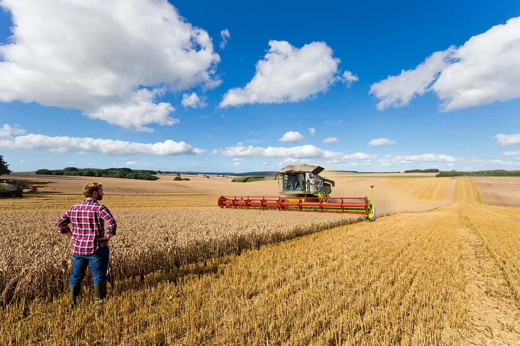
Colorado’s farms consume water at a higher rate than the rest of the country.
©Juice Flair/Shutterstock.com
Water Diversion
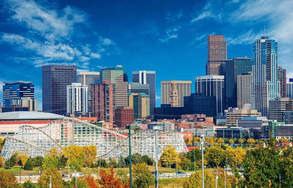
As we talk about plans to divert Mississippi waters to save the Colorado River, Colorado itself is already diverting much of the water in the other direction. The Front Range is a branch of the Rocky Mountains in the central part of Colorado. Most of the precipitation moving on prevailing winds from the west falls on the western side of the mountains. However, 80% of the state’s residents live on the eastern side in major cities like Denver, Colorado Springs, and Boulder.
To resolve this problem, Colorado built 24 major tunnels to move water through the mountains for the use of its cities, industries, and agriculture in the east. Two of the tunnels – the Boustead Tunnel and the Twin Lakes Tunnel – divert up to 40% of the water of two tributaries of the Colorado River during the dry season. Denver gets 50% of its water from water diversion and Colorado Springs gets up to 70% that way. In all, Colorado diverts about 1,304,000 acre-feet of water per year to the eastern side of the mountains, preventing it from draining into the Colorado River. Demand on these headwaters will increase in the future as the state’s population is forecast to double to 8.5-10 million people by 2050.
The major cities of Colorado rely on water diversion projects for the needs of the population.
©Virrage Images/Shutterstock.com
A Controversial Fix
How could Lake Powell be refilled without draining the Mississippi River? This is a scenario we have to think about even if this diversion plan is approved. The approval process has to work through multiple layers and jurisdictions of government. Allocation of funding must wind through the political process. Building the necessary aqueducts, pipelines, reservoirs, and pumping facilities could take a couple of decades. Even if the Mississippi plan is the intended ultimate solution, an interim solution must be found – one that might end up having to be the best we can do in a situation without easy answers.
What if we decided to allow nature to do what comes naturally? What if the Continental Divide once again functioned as it originally did? Precipitation falling west of the mountains would be allowed to flow westwards to the Colorado River. This would release 1.3 million acre-feet of water that Colorado is currently pumping to the east. What impact would that have?
The Impact of Releasing Colorado Water
Lake Powell’s total storage capacity is about 25 million acre-feet. It is currently down by about 15.5 million acre-feet from full capacity. Increasing the flow from the state of Colorado by a million or more acre-feet would help fill Lake Powell, though it still might take a decade to do so. But filling the lake to full capacity might not be necessary. What is most crucial is to keep the water level above 3,490 feet so that the Glen Canyon Dam can continue supplying electricity. It is currently at only 3,581 feet. This would be entirely manageable if Colorado’s diverted water were released.
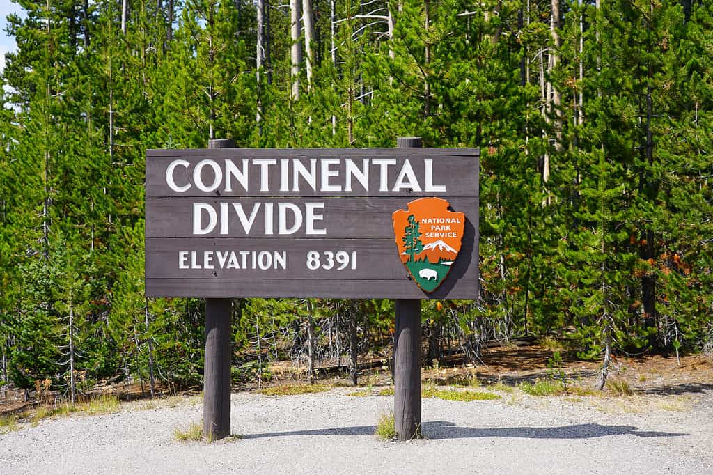
The Continental Divide runs down the Rockies. Precipitation on each side flows in different directions.
©EQRoy/Shutterstock.com
Problems and Rationale
Obviously, this plan for replenishing the Colorado River to fill Lake Powell has enormous problems – especially for the likely enraged residents of Colorado. They could easily argue that now we’re just transferring the drought from other states to them. The political firestorm would be enormous (and there wouldn’t be enough water to put it out!) Colorado would have to put into place even stricter water conservation measures. It might have to look into opportunities for its own water diversion projects in the East. Nearby agricultural states like Nebraska and Kansas may be reluctant to part with some of the water they need for their own crops. It’s hard to imagine the Colorado state government approving such a plan without being coerced into it in the name of the national interest.
On the other hand, it could be argued that the western water problem is much worse than it would have to be because water-hungry eastern areas are taking a great deal of the water that nature intended for the Southwest. So, in a world where humanity had not interfered, there may be a drought in both the Southwest and in areas east of the Front Range, but with less extreme differences in the amount of water available downstream and upstream. Eastern Colorado might have to rethink land and water usage to take into account the amount of water naturally available on their side of the mountains.
Dry areas of the West are often better suited to ranching than to more water-intensive agriculture.
©Christy berry/Shutterstock.com
Maybe We Don’t Need to Fill Lake Powell
The Glen Canyon Institute says there is no need to fill Lake Powell. We can just get rid of it altogether. It wouldn’t require the removal of the dam, just releasing the water to flow through it. Lake Powell would return to just another section of the Colorado River, flowing through Glen Canyon freely as it once did. This would make it easier to refill Lake Mead, downstream, which is more crucial for the vast population of Southern California. It would mean, however, that five million people who depend on the Glen Canyon hydroelectric station for electricity would have to find another source of power. The video below explains this in more detail:
The Ultimate Answer: Sustainable Development
Unintended Consequences
History has taught us that well-intentioned actions often have unintended negative consequences. The country went through a major dam-building phase in the 1930s-1960s. It seemed like a no-brainer way to support growing cities and bring development to previously unusable land. Since then, we’ve learned a great deal about the negative ecological consequences this can produce. It has also enabled more people to live in the region than the land can support through its own resources.
Adapting Our Environment, or Ourselves?
We could potentially solve this problem with technology. This includes radical proposals like diverting some of the Mississippi River to fill Lake Powell and Lake Mead. Maybe the same money could be used for crash investment in other technology. For example, cheaper methods of desalinizing ocean water could permanently solve California’s water crisis. Or we could take approaches that adjust to the natural environment in a sustainable way. This could include allowing Colorado River water to stay in its own watershed, rather than diverting some of its headwaters east of the mountains.
Throughout the region, effective conservation measures need to be put in force to prevent waste of water. Charging households, farms, and industries for water usage above a certain level might be the most effective way of incentivizing conservation. The high cost of living in California is already causing migration to other states. This process would continue and accelerate if water became more expensive, getting the population to a more sustainable level. Ultimately, the only lasting solution may be for humans to adapt to the environment rather than forcing the environment to adapt to us.
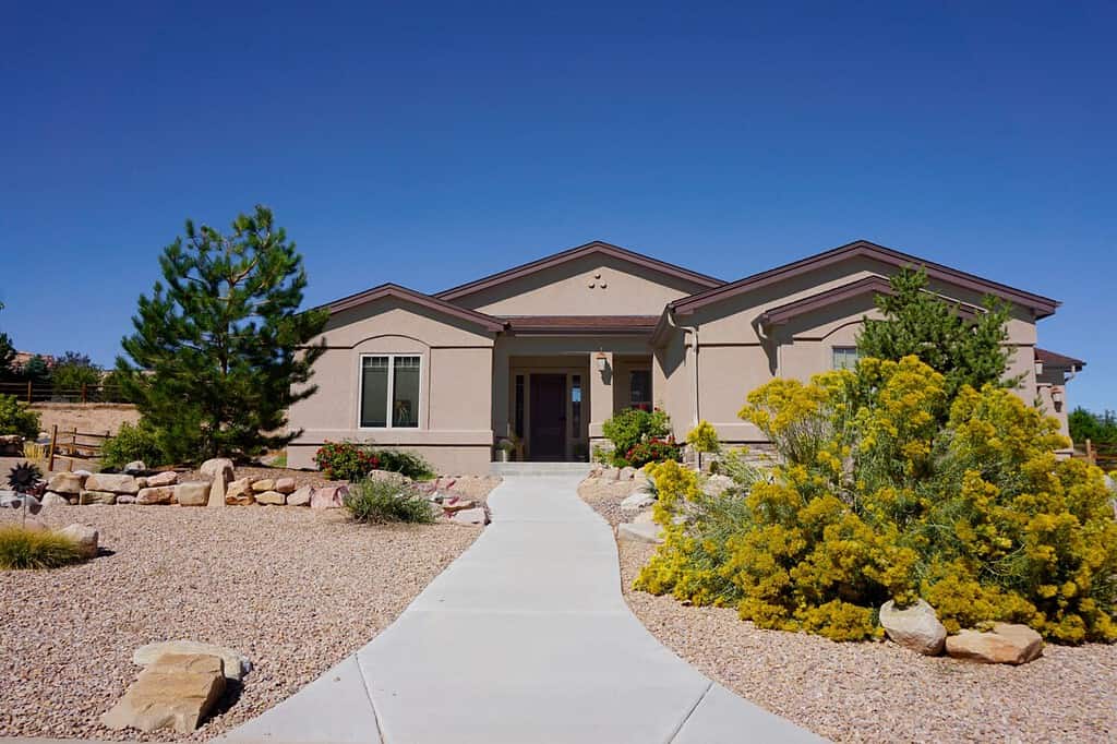
This is an example of xeriscaping – landscaping with desert plants and rocks.
©PT Hamilton/Shutterstock.com
The photo featured at the top of this post is © kavram/Shutterstock.com


How to Add Us to Google News


Thank you for reading! Have some feedback for us? Contact the AZ Animals editorial team.