

Ohio may be known for lakes, cornfields, and football teams, but the state also contains many dangerous roadways. In fact, in 2021, according to Insurify, the Buckeye State was named the most dangerous state in which to drive! Of course, driving anywhere can be dangerous. According to the National Highway Traffic Safety Administration (NHTSA), two out of three motorists have an accident resulting in injury during their life. So, what makes Ohio so dangerous?
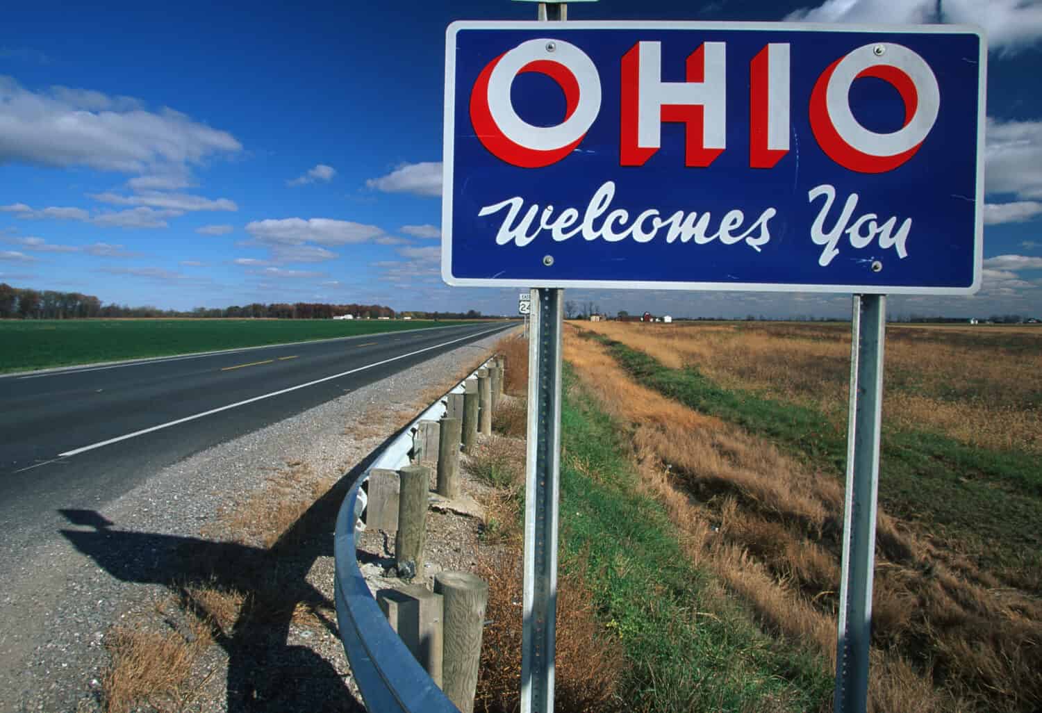
The Midwest state has a disproportionately high number of accidents and fatalities.
©Joseph Sohm/Shutterstock.com
Why is Ohio Dangerous for Driving?
Ohio places second for most bridges in the United States and is fourth in total interstate lane miles. Combined with the continuous freeze and thaw cycle due to the unpredictable weather in the Midwest, these factors make Ohio’s roads dangerous. Potholes, road congestion, and speeding are also factors. Additionally, during deer mating season, the likelihood of hitting a deer is heightened. This season spans the fall and winter months of October, November, and December. If you are driving through Ohio, make sure to pay attention, drive the speed limit, and follow the rules of the road as a responsible driver. Excessive speeds, tailgating, and other risky driving behavior make dangerous roads even more dangerous. Below, we list 12 of the most dangerous roads in Ohio, so you can make sure your driving habits are on point in these areas.

1. Dead Man’s Curve: Interstate-90

Lake-effect snow is caused by cold air moving across the open waters of the Great Lakes.
©Dee Browning/Shutterstock.com
A common nickname for dangerous hairpin turns on roads is “Dead Man’s Curve.” Cleveland has its own “dead man’s curve” downtown. The almost 90-degree angle sits on Interstate-90 near Lake Erie. This Innerbelt Curve has seen multiple fatalities over the years. The city added rumble strips, banked lanes, flashing lights, and a lower speed limit to lessen the hazard. However, lake-effect snow makes this road snowier and icier during the winter months, presenting an added danger.
2. Interstate-71: Between Exit 110B and Exit 116

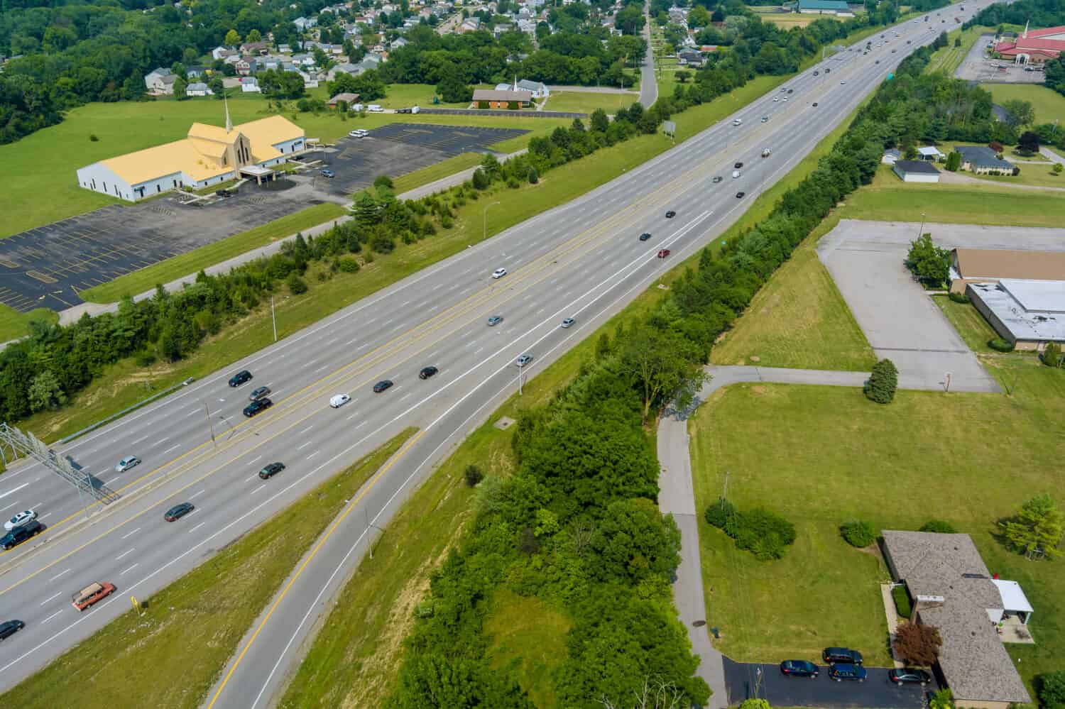
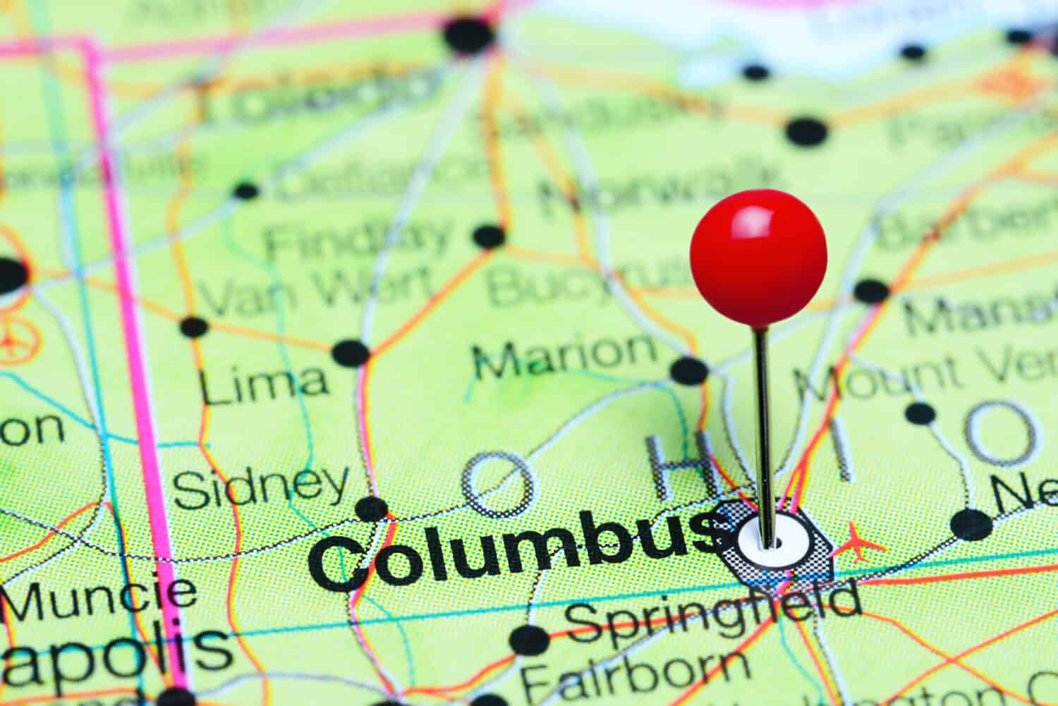
Due to high traffic, multiple lanes, and exits, I-71 in Columbus is a dangerous stretch of Ohio’s interstate.
©Randall Vermillion/Shutterstock.com
A major highway that passes through the entire state of Ohio is Interstate-71. It runs 248 miles through three major cities: Cleveland, Columbus, and Cincinnati. It is also considered Ohio’s most dangerous highway. The interstate runs mainly north to south. Accidents occur throughout I-71 due to high driving speeds and a lot of cars on the road. However, the most dangerous section of the interstate is between Exit 110B and Exit 116 in Columbus. This area sees an increase in the volume of traffic, as well as speed increases and decreases.
3. Interstate-70: Between Exit 103 and Exit 43
Since I-70 is a major road for travel across the state, it is the scene of a lot of accidents.
©ungvar/Shutterstock.com
Interstate-70 runs east-west and is another major highway in Central Ohio. It passes through the capital and is 225 miles long. I-70 also runs along the West Virginia-Ohio border to the Indiana-Ohio border. Accidents often occur on this interstate, since it serves as a major transcontinental highway, meaning large trucks and out-of-state vehicles travel the road frequently. The stretch between Exits 103 and 43A in the Columbus area is the most dangerous. This is due to high traffic volume and traffic patterns.
4. I-70 meets I-75: “Crossroads of America”
Accidents occur on highways for several reasons. In Ohio, it is in part due to the speed of the car.
©Kevin Lush Photography/Shutterstock.com
Danger lurks around a treacherous, curved off-ramp where I-70 meets I-75 in Dayton, Ohio. The dangerous road is nestled in Butler Township, which is between the Great Miami River and the Stillwater River. Semi-truck drivers need to be exact in their calculations of speed and make sure they don’t overturn on the ramp. Truck drivers must take the curve seriously and try to go at least five miles under the speed limit to avoid disaster.
5. Interstate 76: Ohio Turnpike
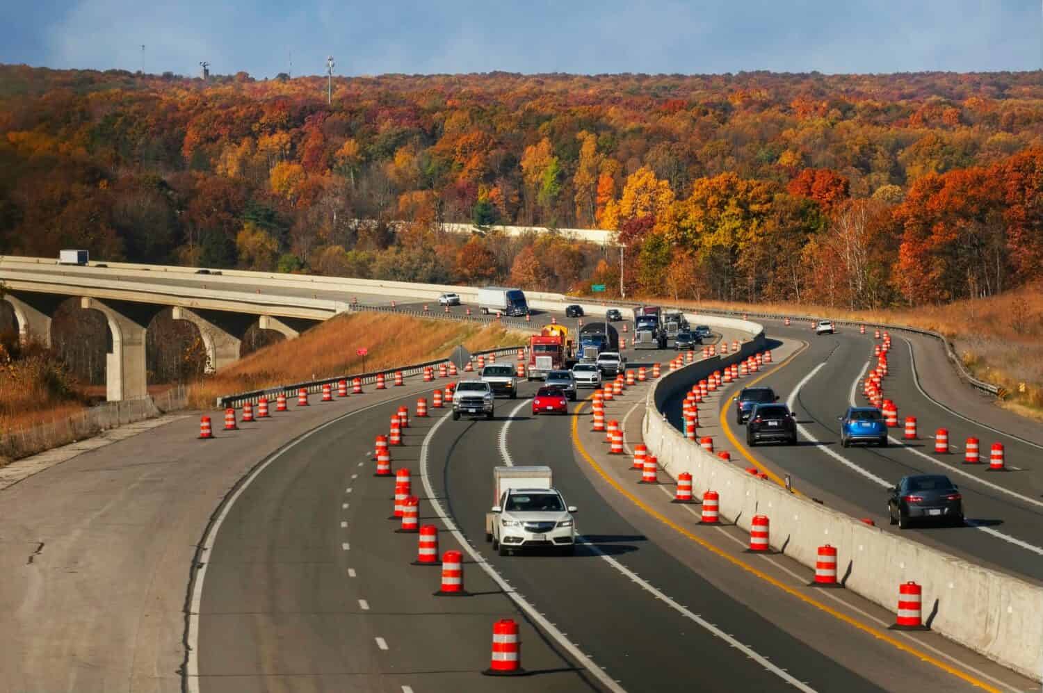
Construction also seems to be a constant on the Ohio Turnpike which makes the route dangerous as well.
©Kenneth Sponsler/Shutterstock.com
The Ohio Turnpike is another highway that runs east to west across the state. This major highway spans the Pennsylvania-Ohio border to the Ohio-Indiana state line. It also includes other dangerous stretches of road including I-76, I-80, and I-90. Commercial trucks and passenger vehicles drive across the turnpike for a multitude of reasons from transporting goods to commuting to work. A lot of accidents are due to two lanes of traffic merging into one. Also, the speed limit quickly goes from 70 mph to 50 mph.
6. Interstate-90: Lake County
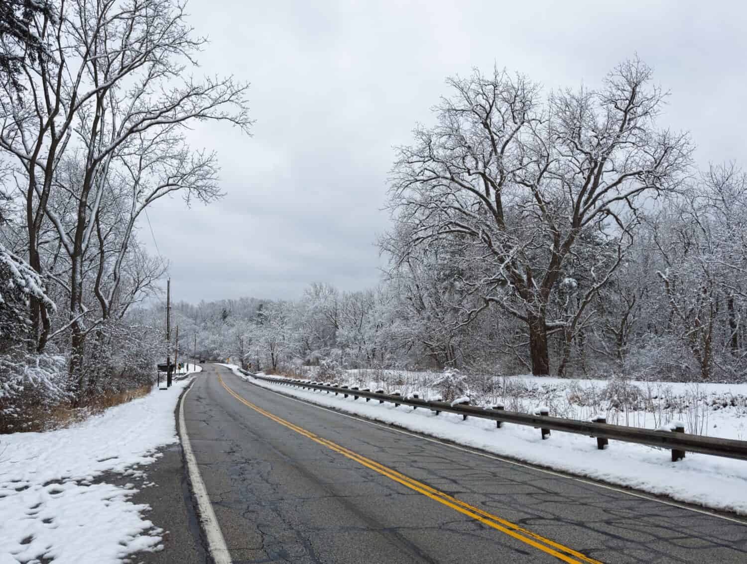
Ohio’s inclement weather worsens driving conditions on already dangerous roads.
©Kenneth Sponsler/Shutterstock.com
A stretch of I-90 recently had its speed limit reduced from 70 mph to 60 mph due to safety concerns, especially during winter months. The road is only five miles from Lake Erie, so heavy snow and squalls are common. This reduces visibility, even causing blinding conditions for drivers. Experts and city officials also believe the incline of the road combined with the inclement weather makes the road dangerous.
7. Interstate-71: Between 11th Avenue South and Morse Road North
Driving through the capital is dangerous due to congestion, driver distraction, and high travelling speeds.
©Dmitrijs Kaminskis/Shutterstock.com
This five-mile stretch of road near Columbus is accident-prone, to say the least. The road’s design lends itself to bottlenecks and congestion. There are also multiple exits across the five miles, which can lead to driver confusion and distraction. When traversing this part of the interstate, drivers really need to be on their A-game!
8. State Route 161

The high number of accidents on State Route 161 prompted the construction of roundabouts and medians.
©aceshot1/Shutterstock.com
This state route is also known as Dublin Granville Road. It sees many car wrecks due to confusing service roads. Ironically, these service roads were created to reduce crashes. However, these roads are “conflict points” for drivers navigating 161, as well as drivers attempting to turn onto 161 from the service roads.
9. Interstate 670

Columbus is Ohio’s largest city. A high number of dangerous roads surround the city due to traffic.
©Agnieszka Gaul/Shutterstock.com
Another interstate outside the bustling capital of Columbus contributes to dangerous driving in Ohio. Residents take the road downtown for work, and it brings drivers to populated neighborhoods as well. There is an interchange at I-71, and this leads to bottlenecks and congestion. Drivers try to switch lanes quickly while driving at high speeds. City officials propose speed limit changes and opening the highway’s shoulder to allow traffic to breathe.
10. Interstate-480

Quick routes to the suburbs are becoming dangerous due to drivers’ rush to get home.
©ungvar/Shutterstock.com
Interstate-480 is an auxiliary interstate highway of 1-80. It is around 42 miles long and bypasses Cleveland. Traffic jams are a common occurrence due to the convergence of I-480 and I-271. The city built I-480 to give motorists a quick route to and through Cleveland’s suburbs. However, the stretch of road sees a high number of accidents due to traffic and speeding.
11. State Route 13

State Route 13 leads to Ohio University. Students often ignore road signs, making the route unsafe.
©Braden Moon/Shutterstock.com
Located in Southern Ohio in Athens County, State Route 13 runs north to south through a pretty rural part of the state. However, multiple accidents are often reported on this road due to the dangerous curves of the route. Drivers tend to ignore signs because they are eager to get to their destination and are driving at high speeds.
12. Interstate-77
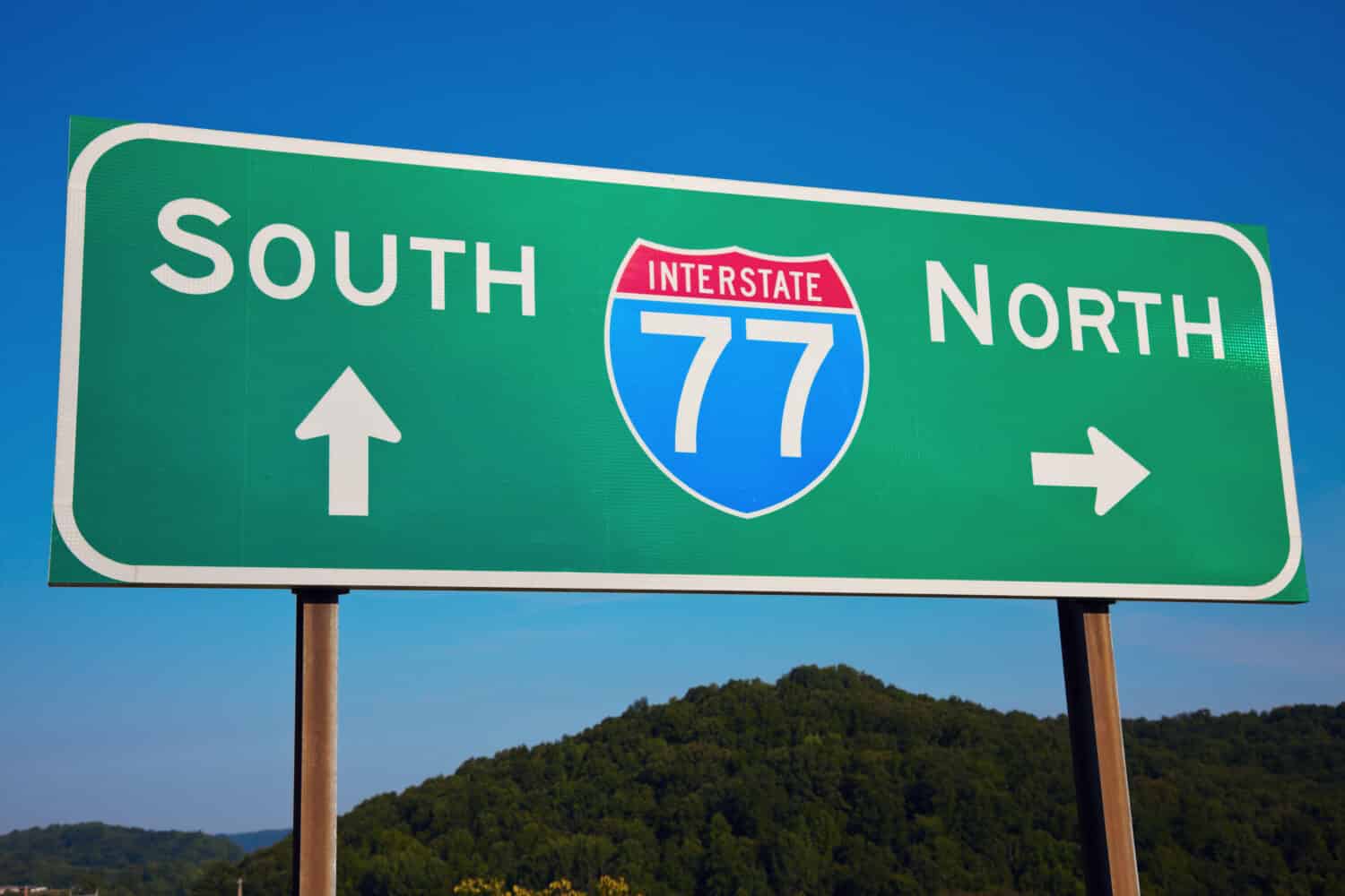
I-77 is always teeming with traffic, as it connects the southeastern states to Ohio and the Great Lakes.
©Henryk Sadura/Shutterstock.com
This interstate seems to be under constant construction. The speed limit here also varies and is often ignored by drivers. The weather is an issue on the roadway, and it seems that ice forms easily on the interstate. I-77 runs from Cleveland to South Carolina, with 160 miles of it in Ohio. It is a busy travel road, especially for semi-trucks.
Everyone behind the wheel should try to be a responsible driver. It is important to be aware of the areas with the most dangerous driving in Ohio. Safe driving practices allow drivers to contribute to society. In knowing the dangers of these roads, drivers can be on high alert for traffic, speeding, and other dangers that lie ahead.
Summary of the 12 Most Dangerous Roads in Ohio
| Road | Location | |
|---|---|---|
| 1 | Interstate-90 (Dead Man’s Curve) | Cleveland |
| 2 | Interstate-71 between Exit 110B and Exit 116 | Columbus |
| 3 | Interstate-70 between Exit 103 and Exit 43 | Columbus |
| 4 | I-70 meets I-75 (Crossroads of America) | Dayton |
| 5 | Interstate 76 | Ohio Turnpike |
| 6 | Interstate-90 | Lake County |
| 7 | Interstate-71 | Between 11th Avenue South and Morse Road North, Columbus |
| 8 | State Route 161 | Columbus |
| 9 | Interstate 670 | Columbus |
| 10 | Interstate-480 | Cleveland Suburbs |
| 11 | State Route 13 | Southern Ohio, Athens County |
| 12 | I-77 | Cleveland |


How to Add Us to Google News


Thank you for reading! Have some feedback for us? Contact the AZ Animals editorial team.