Majestic Mount Fuji is the tallest peak of any mountain or volcano in Japan. This active stratovolcano hasn’t officially erupted since December 1707, but its early years were very explosive. Its identity as a stratovolcano is a clue as to how Mount Fuji developed over time. So let’s take a look back through the history of how and when Mount Fuji formed. We think you’ll agree that how this iconic Japanese landmark took shape is a fascinating journey from start to finish.
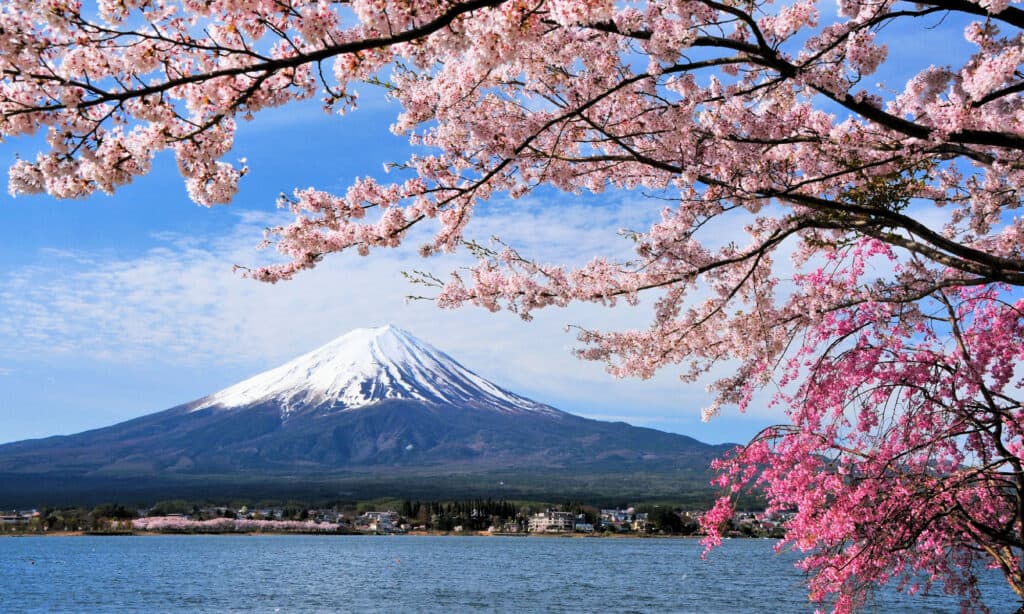
Today’s Mount Fuji looks very different than when it formed.
©iStock.com/Goryu
The Formation of Modern Mount Fuji
Modern Mount Fuji, or “New Fuji,” was formed roughly 10,000 years ago when major eruptions from “Old Fuji” created the newest volcano. However, today’s version of Mount Fuji is formed by three or more original volcanoes! So the full journey of how and when Mount Fuji was formed goes back through multiple phases of volcanic activity that collectively created today’s volcano.
The four major volcanic phases of Mount Fuji’s formation are:
- Pre-Komitake
- Komitake
- “Old Fuji”
- “New Fuji”
Additionally, Mount Fuji’s origin goes even further back to when the islands of Japan formed in the sea.
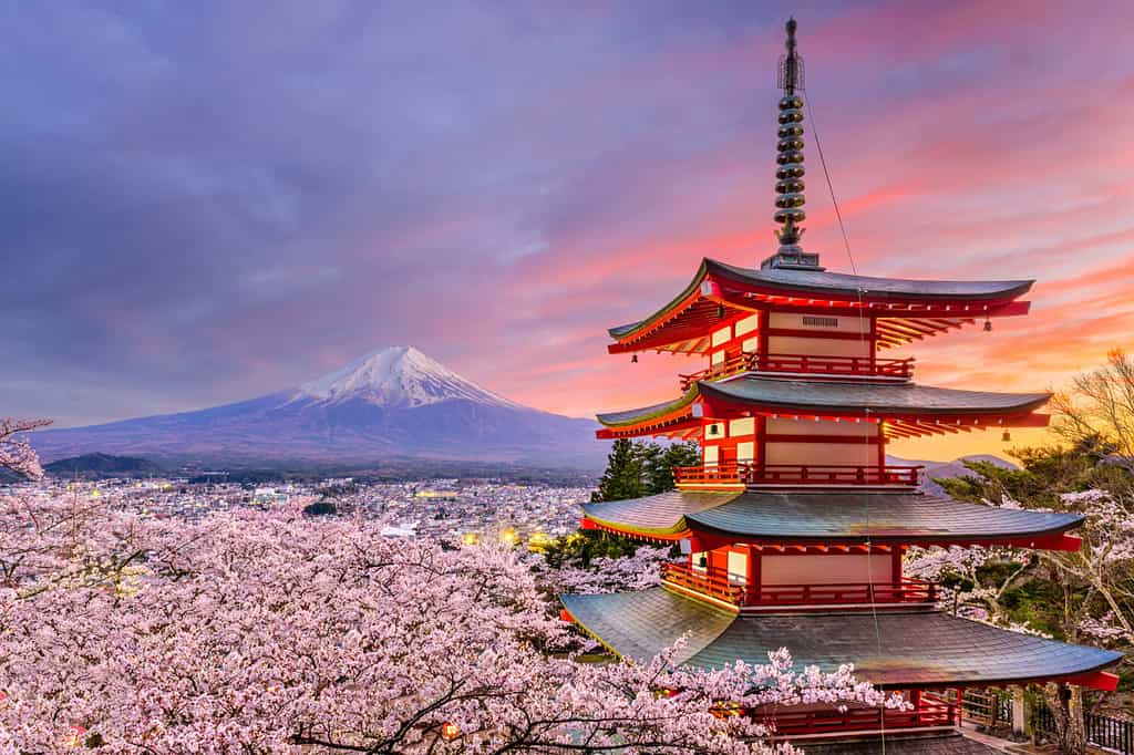
The island of Honshū is home to Mount Fuji.
©Sean Pavone/Shutterstock.com
Mount Fuji Origins: Forming the Islands of Japan
Mount Fuji sits on the Japanese island of Honshū, which is southwest of Tokyo by about 62 miles. The history of Mount Fuji begins with the chain of islands (called an archipelago) that we know today as modern Japan.
Initially, Japan was part of the mainland of Eurasia, along its Eastern coast. The Japanese archipelago formed during the Miocene epoch between 23.03 and 5.333 million years ago. Moving tectonic plates below the ocean floor pushed down from the earth’s crust and into the mantle below a neighboring plate. This geological movement is called subduction tectonics.
Over millions of years, the subduction between four different sea plates moved Japan in smaller parts (islands) out into the sea. Today, Japan consists of over 14,000 islands in its archipelago.
The continental and sea plates below Japan are the following:
- Philippine Sea Plate
- Amurian Continental Plate
- Okinawa Continental Plate
- Pacific Sea Plate
- Okinawa Continental Plate
Once Japan’s archipelago formed, the resulting volcanoes began the process of building Mount Fuji layer by layer, eruption by eruption.
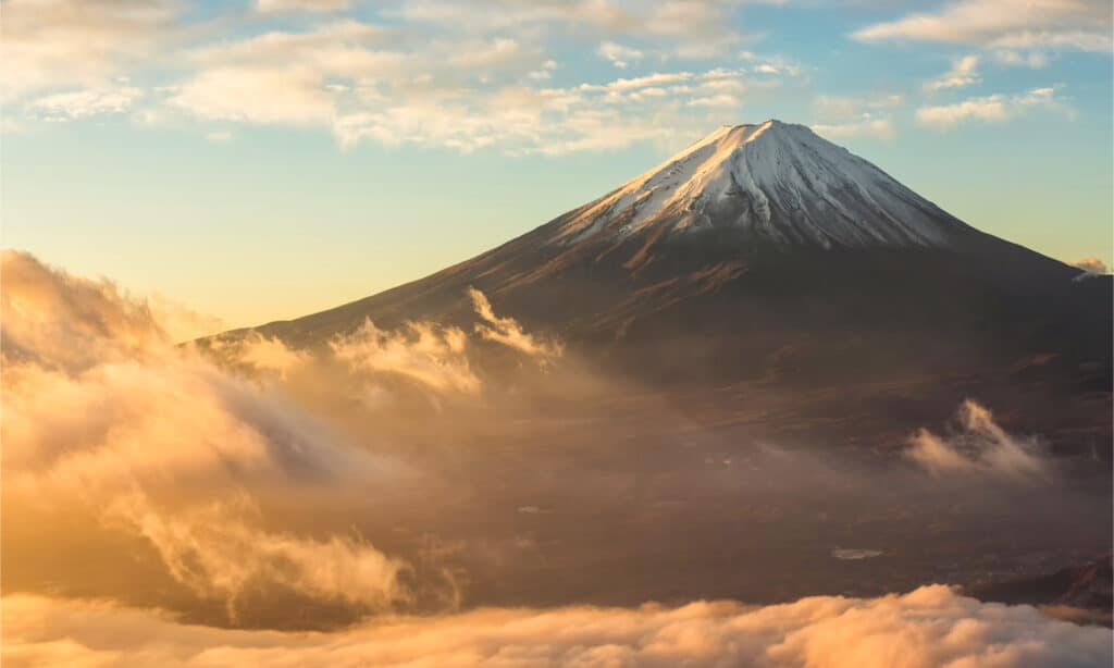
Mount Fuji is formed from different volcanic rocks, including andesite and basalt.
©BAMBELL/Shutterstock.com
The Pre-Komitake Phase
Recent research revealed a previously unknown layer of volcanic rock called andesite inside Mount Fuji’s core. The presence of andesite indicates that Mount Fuji is likely made of at least 3-4 volcanoes, all giving rise to new ones over time.
Pre-Komitake volcanoes were probably active during the Middle Pleistocene epoch, also called The Ice Age.
The Middle Pleistocene epoch spanned from 2.5 billion years ago to 11,700 years ago. Volcanic eruptions during this period produced layer upon layer of lava and ash that created this area’s first stratovolcanoes. A stratovolcano has many alternating layers of volcanic lava and ash that build over time.
These Ice Age volcanoes in Japan’s history later formed a new volcano called Komitake, roughly 4 1/2 miles north of Mount Fuji’s current location.
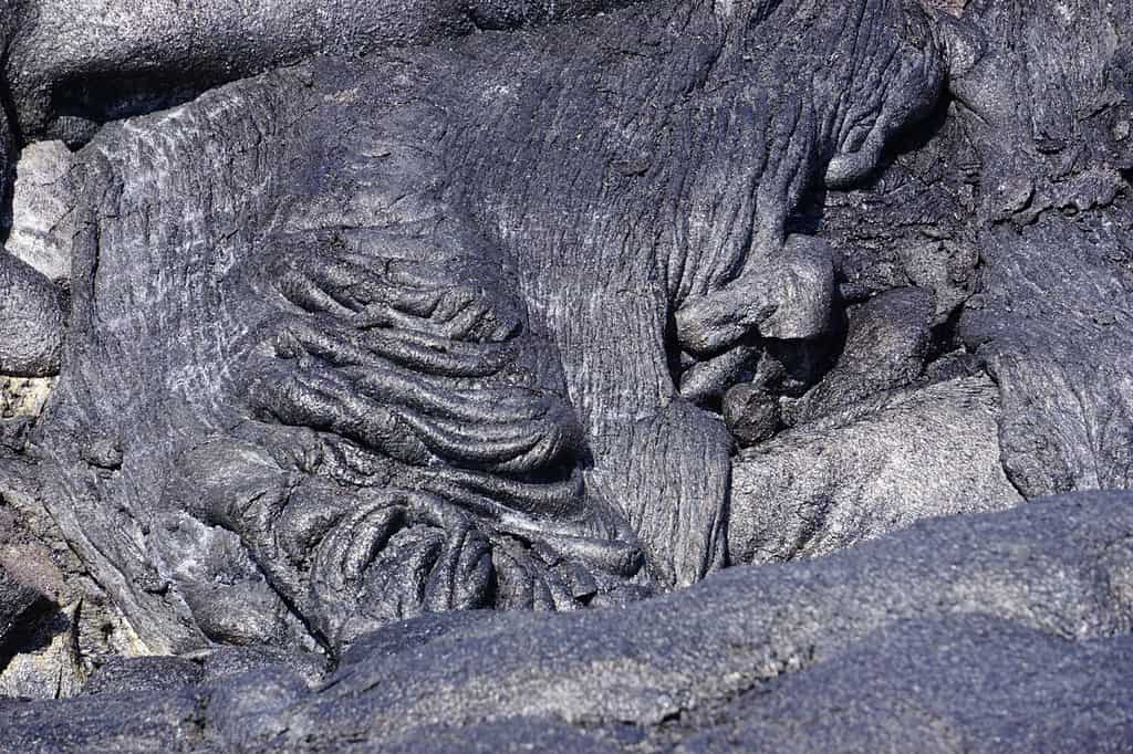
Basalt is a black, quick-flowing volcanic rock that helped form Mount Fuji in Japan.
©Iva photos/Shutterstock.com
The Komitake Phase
A layer of basalt rock above the andesite indicates where the Komitake volcano exists inside Mount Fuji on its northern side. Komitake’s phase of Mount Fuji’s development took place roughly 600,000-700,000 years ago.
Eruptions from Komitake built more layers of lava and ash, continuing the expansion of multiple volcanoes into one. However, another nearby volcano to the south, Mount Ashitaka, was experiencing significant eruptions at the same time as Komitake. The volcanic activity of these two major volcanoes combined to create a newer volcano called “Old Fuji.”
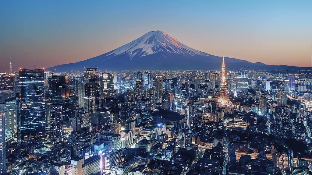
Mount Fuji is about 62 miles away from Tokyo.
©StockByM/iStock via Getty Images
The “Old Fuji” Phase
The “Old Fuji” version of modern Mount Fuji developed around 100,000 years ago. The build-up of ash and lava from the Komitake and Ashitaka volcanoes was the main reason for “Old Fuji”s creation. However, Komitake is the only volcano between the two that became part of Mount Fuji’s newest formation at the time.
Mount Ashitaka still exists as a separate stratovolcano. It sits about 12 miles southeast of Mount Fuji.
Over the next roughly 90,000 years, multiple major eruptions and landslides from “Old Fuji” formed even more layers of lava, ash (fine dust), and lapilli (medium-size volcanic rock). These eruptions formed the modern version of Mount Fuji called “New Fuji.”
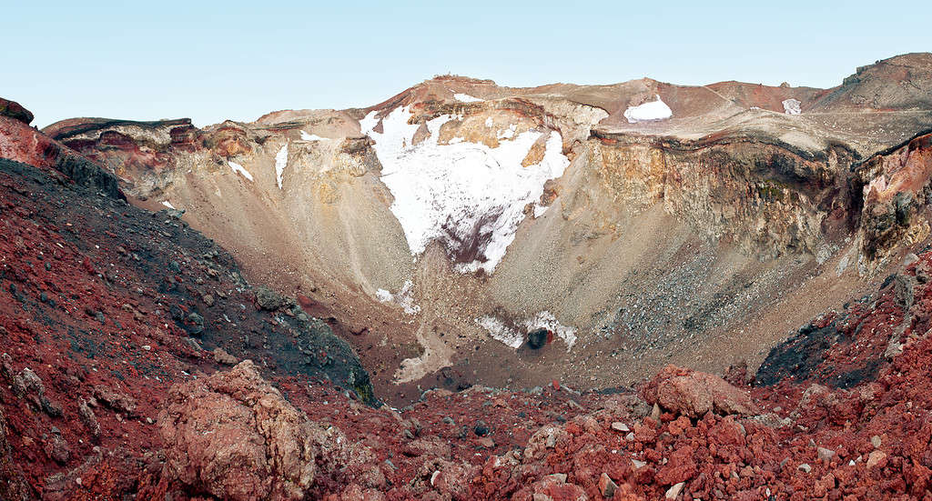
The summit crater on top of Mount Fuji is approximately 2,000 feet in diameter.
©Fyletto/iStock via Getty Images
The “New Fuji” Phase
Mount Fuji’s “New Fuji” phase developed about 10,000 years ago. And “New Fuji” is the version that exists today. Built from the many volcanoes below and around it, Mount Fuji grew into a massive stratovolcano with a distinct cone-shaped top.
Mount Fuji currently stands nearly 12,400 feet tall at its summit. Its summit crater is about 820 feet deep and 1,600 feet in diameter. In addition, Mount Fuji’s base is approximately 25-30 miles in diameter. Today, the incredible mass of this volcano was made possible by the volcanic activity of those that came before it.
Mount Fuji is an active volcano that hasn’t erupted since 1707. What was that last eruption like? Keep reading to learn what caused the latest eruption and its aftermath.
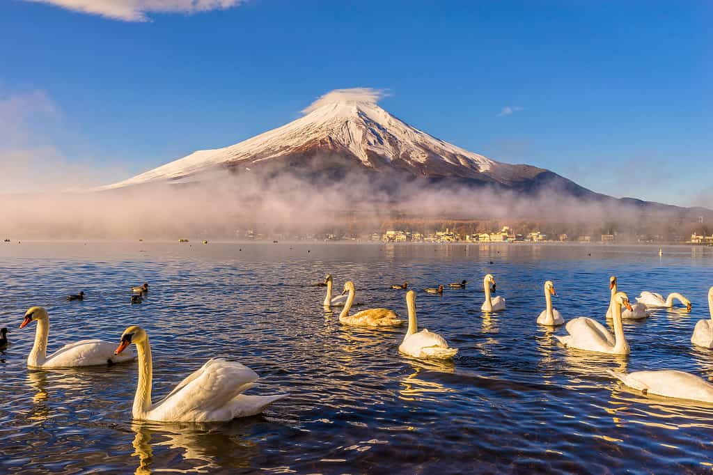
Lake Yamanaka is one of the Five Fuji Lakes at the base of Mount Fuji.
©Luciano Mortula/iStock via Getty Images
Mount Fuji’s Last Confirmed Eruption
Over 215 years ago, an 8.4 magnitude earthquake triggered the latest “New Fuji” eruption called the Hōei eruption. It began on December 16th, 1707, and lasted until February 24th, 1708.
Rumblings inside Mount Fuji started three years prior to the eruption, in addition to earlier earthquakes at the base in the autumn of 1707. So when the earthquake that triggered the eruption occurred, Mount Fuji had been gearing up to erupt for some time.
The aftermath of the Hōei eruption was devastating for the surrounding area. The massive amount of tephra (solid volcanic matter) that blanketed the earth destroyed many miles of agriculture and changed the landscape. An estimated 20,000 people died due to starvation and catastrophic eruption-related events.
Though the Hōei eruption is the latest confirmed Mount Fuji eruption, three additional unconfirmed eruptions may have occurred between 1708 and 1854.
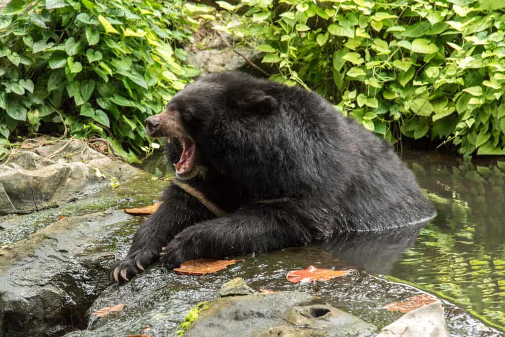
The Asiatic black bear is a common animal among the wildlife cohabitating around Mount Fuji.
©APIWICH PUDSUMRAN/Shutterstock.com
Mount Fuji Today: Landscape and Wildlife
Surrounding the Fuji Volcanic Zone is a vast expanse of picturesque landscape and wildlife. For example, the Fuji Five Lakes near Mount Fuji formed from lava flows that damned waterways at its base. In addition, the Fuji-Hakone-Izu National Park is home to beech forests, grasslands, and wildflower meadows.
Wildlife on and near Mount Fuji is diverse and abundant! Wild animals found here include:
- 37 species of mammals, including Asiatic black bears and the Japanese serow
- Around 100 bird species, including eastern crowned warblers (Sendaimushikui) near the base of Mount Fuji and alpine accentors (Iwahibari) that live much closer to the peak
- Around seven amphibian and five reptile species, like forest green tree frogs
- Many insects (especially across the grasslands and deciduous forests), including butterflies and dragonflies
- Plenty of fish in the rivers and lakes, including Japanese trout and rainbow trout
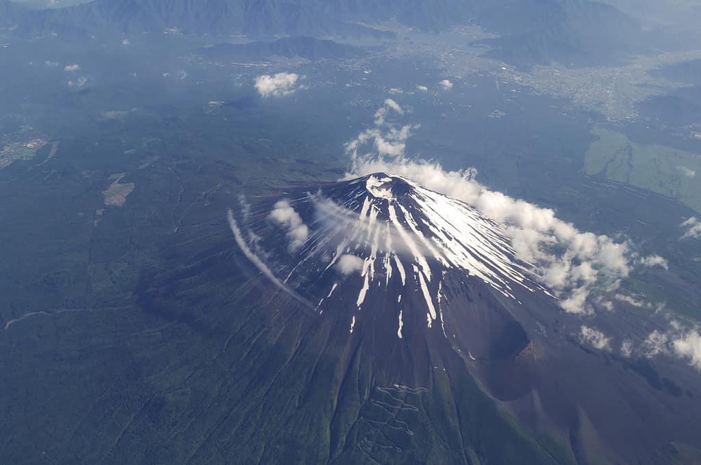
Mount Fuji is an active volcano that erupts approximately every 500 years. Its last confirmed eruption was in 1707.
©gyro/iStock via Getty Images
Japan and the Ring of Fire
How and when Mount Fuji was formed also has much to do with the Ring of Fire. The Circle or Ring of Fire refers to a ring-shaped path of active volcanoes and areas with consistent earthquake activity. This Circle of Fire spans 24,900 coastal miles along the Pacific Ocean and includes Japan’s archipelago.
Over 450 active volcanoes cover the Circle of Fire, so this path is a hotbed of volcanic activity. Why do so many volcanoes and earthquakes happen along the Ring of Fire? It’s because the multiple moving tectonic plates below this path cause the earth’s crust to shift.
The many tectonic plates that converge at various points below the Ring of Fire are the following:
- Cocos Plate
- Juan de Fuca Plate
- Indian-Australian Plate
- Nazca Plate
- North American Plate
- Pacific Plate
- Philippine Plate
How and when Mount Fuji was formed is a journey with many layers
Layer upon layer of volcanic matter from countless eruptions built Mount Fuji from the ground up. Though “New Fuji” is only around 10,000+ years old, the volcanoes that created it were active for millions of years. So Mount Fugi’s geological history is literally built on the foundation of the volcanoes that came before it. And this active volcano tends to erupt again every 500 or so years, so Mount Fuji is probably nowhere near done changing shape.
The photo featured at the top of this post is © StockByM/iStock via Getty Images
Thank you for reading! Have some feedback for us? Contact the AZ Animals editorial team.


