Virginia is home to a great many spectacular sights, both natural and historical. Places like Shenandoah National Park and Luray Caverns showcase the beauty of the natural world, while places like George Washington’s home, Mount Vernon, and Colonial Williamsburg take visitors back in time. One spot that offers both stunning natural views and a fascinating history is the Virginia Creeper Trail in southwest Virginia.
A miles-long trail, the Virginia Creeper Trail takes visitors through the stunning scenery of the area, ranging through mountain forests, valleys, and lakes. The trail offers endless opportunities for hiking, biking, horseback riding, fishing, bird watching, geocaching, cross-country skiing, and much more. Visitors and locals alike love the Virginia Creeper Trail — more than 100,000 people traverse it each year! Lace-up your shoes, and we’ll learn about the history of the Virginia Creeper Trail and exactly how long it is.
Just How Long is the Virginia Creeper Trail?

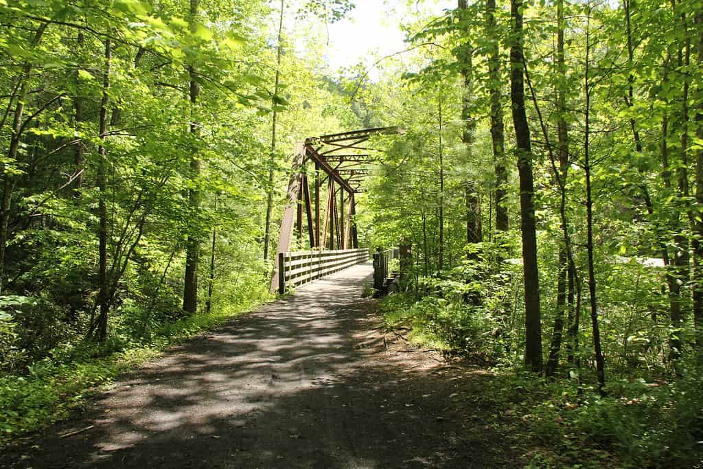
The Virginia Creeper Trail winds through 34 miles of southwestern Virginia, often crossing old railroad trestles like this one.
From end to end, the Virginia Creeper Trail stretches a whopping 34 miles! The town of Damascus serves as an almost halfway point, as the trail continues for about 15 miles west to Abingdon. Whitetop Station and the North Carolina border sit more than 17 miles to the east. The Virginia Creeper Trail even connects with the Appalachian Trail between mile markers 22 and 26.
The Virginia Creeper Trail is best known as a bike trail, with dozens of companies offering rental bikes and shuttles in the area. And because Whitetop Station sits near the top of the second-tallest peak in Virginia, the 17-mile stretch between Whitetop Station and Damascus is a great downhill adventure! You’ll drop 1,600 feet in elevation over the course of those 17 miles. The west side of the trail remains mostly flat, with a small 300-foot elevation gain. The trail consists of a combination of 47 trestles and limestone compacted over the centuries by trains and foot traffic, resulting in a firm, mostly level path that’s wide and well-maintained.
Depending on your pace, it can take up to five hours to bike from Abingdon to Whitetop Station (or vice versa). However, if the whole 34 miles seems too daunting, there are multiple access points perfect for tackling the trail a section at a time. Also, several businesses in Damascus and Abingdon offer shuttle services to make the Virginia Creeper Trail as accessible as possible.
Much of the Virginia Creeper Trail passes through private land, with the public trail corridor only measuring about 80 feet in some places. Though camping is allowed, visitors are asked to be careful not to camp on private land. The National Forest Service maintains several campgrounds in the area as well.
History of the Virginia Creeper Trail
The Past

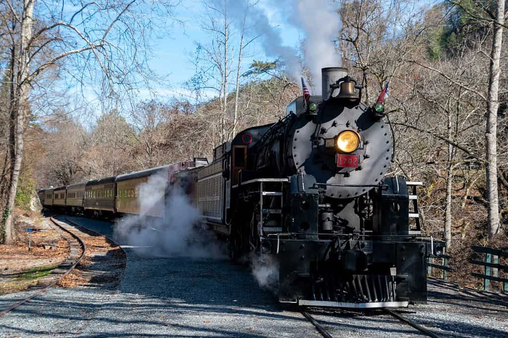
Steam trains struggled along what is now the Virginia Creeper Trail for 70 years.
©Joseph Creamer/Shutterstock.com
What we know as the Virginia Creeper Trail has gone through many stages in its lifetime. Native American tribes in the area used the path as an easy way to traverse the local mountains and valleys. Then, when European settlers came to the area, they learned of the path from their guides. It’s said that folk hero Daniel Boone traversed what would become the Creeper Trail en route to founding the Wilderness Road into Kentucky. He would go on to establish the first English-speaking town west of the Appalachian Mountains, Boonesborough.
In 1907, the well-worn path became a railroad. The Virginia-Carolina Railroad hauled lumber, iron ore, passengers, and other necessary supplies from Abingdon, VA, to Elkland, NC. Its time as a railroad is also where the trail got its name! As the early steam locomotives struggled to gain nearly 1,600 feet in elevation up steep grades, they “crept” along. Thus, this section of the railroad was dubbed the “Virginia Creeper” rail line.
The Virginia Creeper railroad was by no means safe, though. It consisted of more than 100 trestles and bridges, sharp curves, and steep grades, all of which resulted in constant problems with rock slides, wash-outs, and other hazards that kept the trains from running. Those problems, in addition to financial hardships, led to the closure of the Virginia-Carolina Railroad. The Virginia Creeper ran its last train on March 31, 1977.
The Present

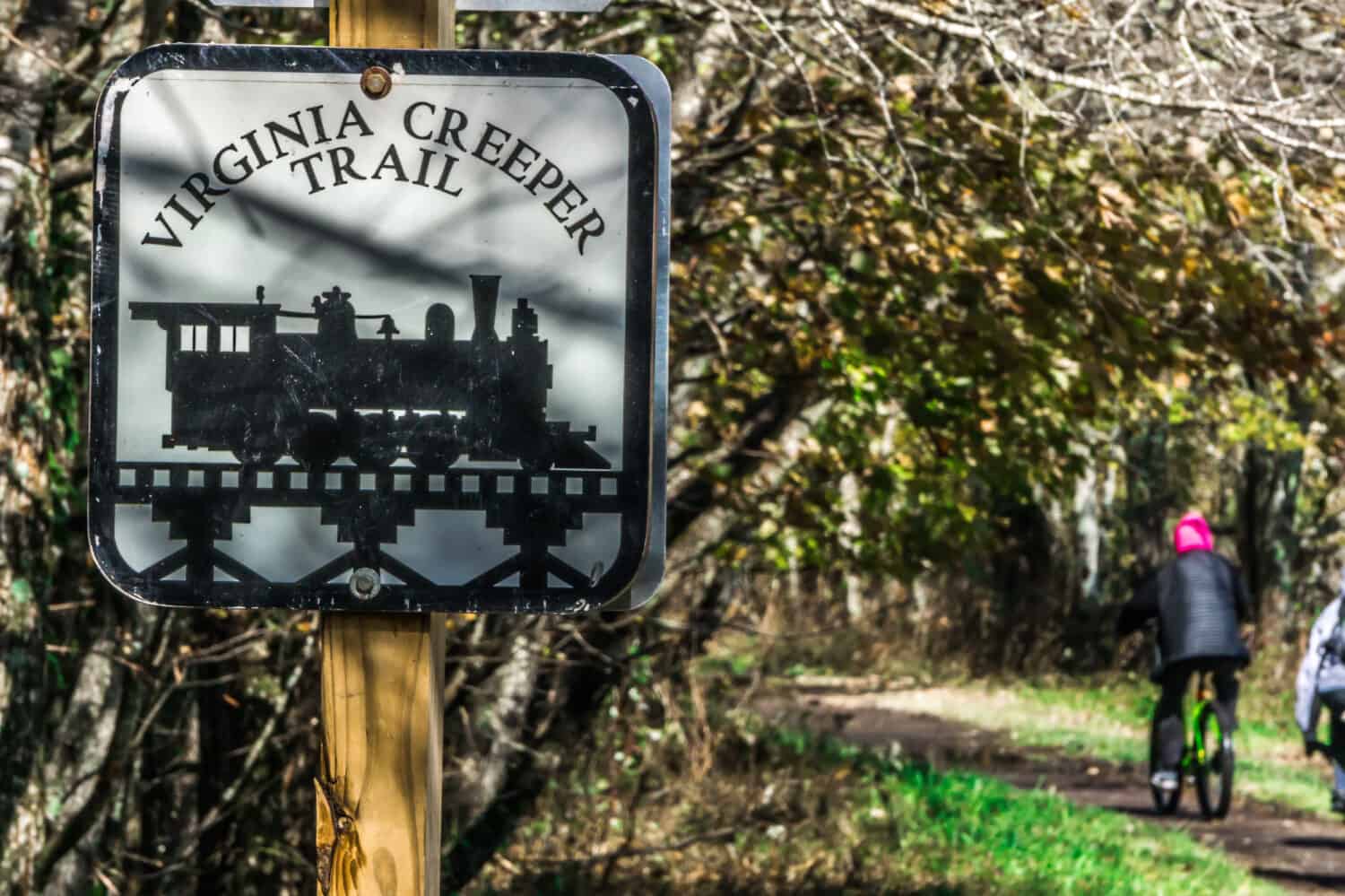
The Virginia Creeper Trail exhibits beautiful foliage in the fall.
Since then, the Virginia Creeper Trail has become one of the best rail trails in the area. Three agencies now manage different parts of the trail. The towns of Damascus and Abingdon take care of the first 15 miles of the trail — which stretches between the two towns — and the Mount Rogers National Recreation Area (NRA) manages the rest of the trail.
The NRA also maintains two visitor centers on its portion of the trail. At Whitetop Station, near the end of the trail, sits a replica of the original train station with informational displays on the history of the trail, the area, and the railroad. Souvenirs and memorabilia are available at Whitetop Station and Green Cove, a visitor center farther down the trail. Green Cove was once a train station, post office, country store, and Western Union store along the Virginia Creeper railroad. Amazingly, most of its contents were abandoned when the station closed in 1977. The NRA has restored Green Cove as a fascinating time capsule for Virginia Creeper Trail users. It also features drinks and snacks to refuel on the hike.
Summary

Portions of the Virginia Creeper Trail follow alongside rivers in the area.
The Virginia Creeper Trail offers 34 miles of beautiful landscapes and centuries of history to step back through. Once a railroad, the trail has returned to its original state as a fantastic path through the mountains, waterways, and valleys of southwest Virginia. The Virginia Creeper Trail’s length, ecological diversity, and variable elevation lead to hundreds of ways to enjoy this fantastic trail, whether you want to conquer all 34 miles or just enjoy a piece of it.
Thank you for reading! Have some feedback for us? Contact the AZ Animals editorial team.


