
The contiguous U.S. is made up of 48 states, each bordering the other. The weather varies from west to east and north to south and while some states are known for their endless rain, others are known for their natural disasters, natural beauty, and dry climates. But which has the least precipitation? Discover the driest state in the United States!
The Driest State in the United States
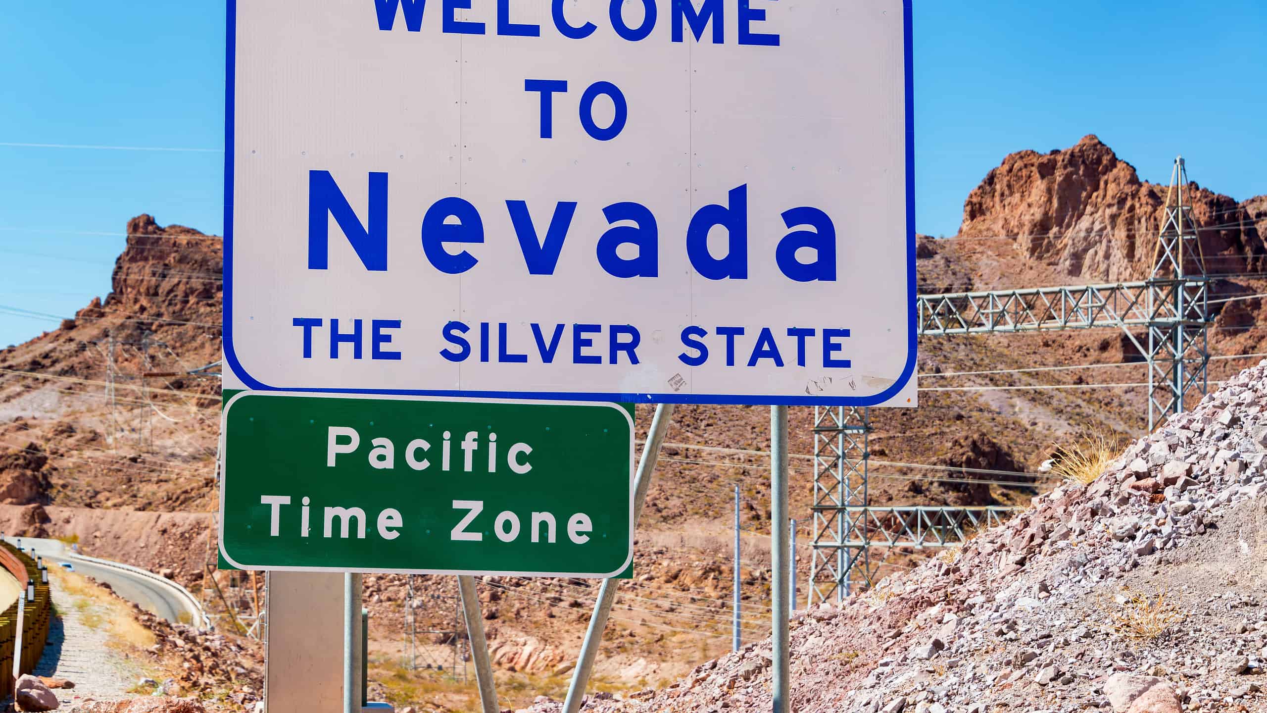
The driest state in the United States is easily Nevada. Nevada sits to the east of California in the western part of the U.S. It’s a desert environment with an arid climate that doesn’t get a lot of rainfall each year. In fact, the state is home to the Great Basin Desert, which covers 200,000 square miles, even occupying parts of other states, including Idaho, Oregon, Utah, and California.
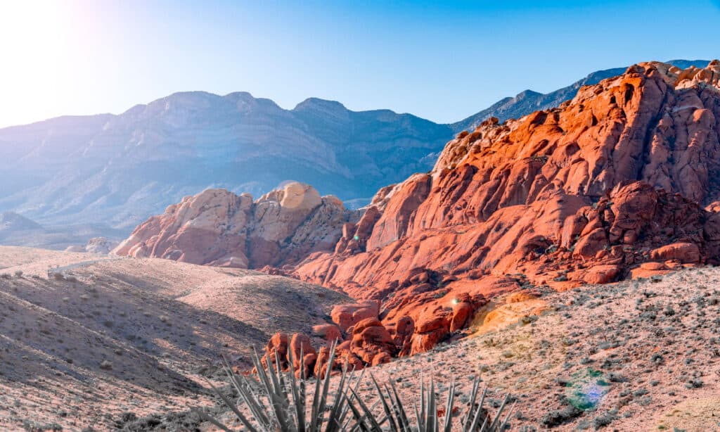
Red Rock Canyon is one of the locations in the state with varying geological features.
©iStock.com/Pengcheng Zhu
Average Temperatures in Nevada
Despite being in a desert environment, Nevada does have a varied topography, which means that it experiences great fluctuations in weather. Generally, the summers are hot, and the winters are cold but depending on where you are located within the state, you may experience more extreme temperatures. During the summer, the whole state gets hot. Typically, the hottest month is July and temperatures can reach over 100 degrees Fahrenheit in the majority of the state. In Nevada’s deserts, temperatures can rise even higher than 110 degrees Fahrenheit.
On the other hand, winter brings cooler temperatures. This is especially true the higher you are in the state. For example, in the Sierra Nevada Mountain Range, it snows and temperatures dip below freezing. The coldest month in Nevada is usually January when temperatures, on average, remain between 40 and 50 degrees Fahrenheit. Although these examples point to averages, it ultimately depends on where you live or where you plan to visit. For specifics, it’s always best to check the weather forecast of the city or town you’re interested in.
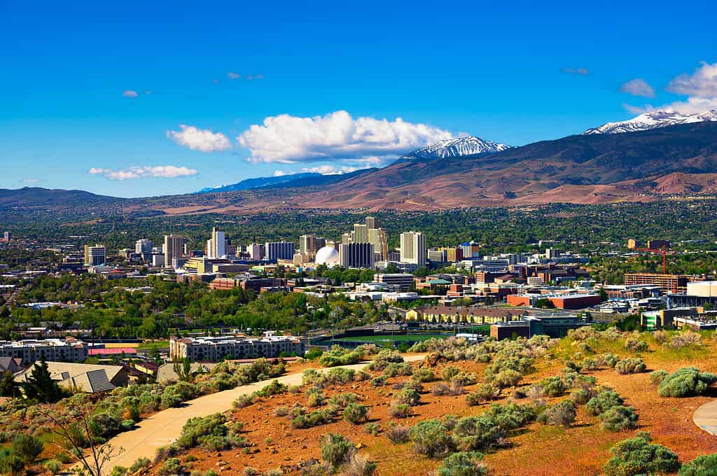
Despite being in a desert environment, Nevada does have a varied topography.
©miroslav_1/iStock via Getty Images
Average Rainfall in Nevada
Rainfall in Nevada is scarce. With only seven inches of precipitation annually, the state is the driest in the country. This is especially true for the eastern and southern parts of Nevada but a bit more north and west, the state does receive more rain and snow. The Sierra Nevada Mountain Range is known for the snow it gets, for instance. The Lake Tahoe area is also wetter because of its geographical location. The precipitation that occurs in the state is expected during the winter months whereas the summer months don’t see much precipitation at all. Although these are expected averages, unique weather events may alter these averages, causing either more or less precipitation than anticipated in any given year.


How to Add Us to Google News


Thank you for reading! Have some feedback for us? Contact the AZ Animals editorial team.