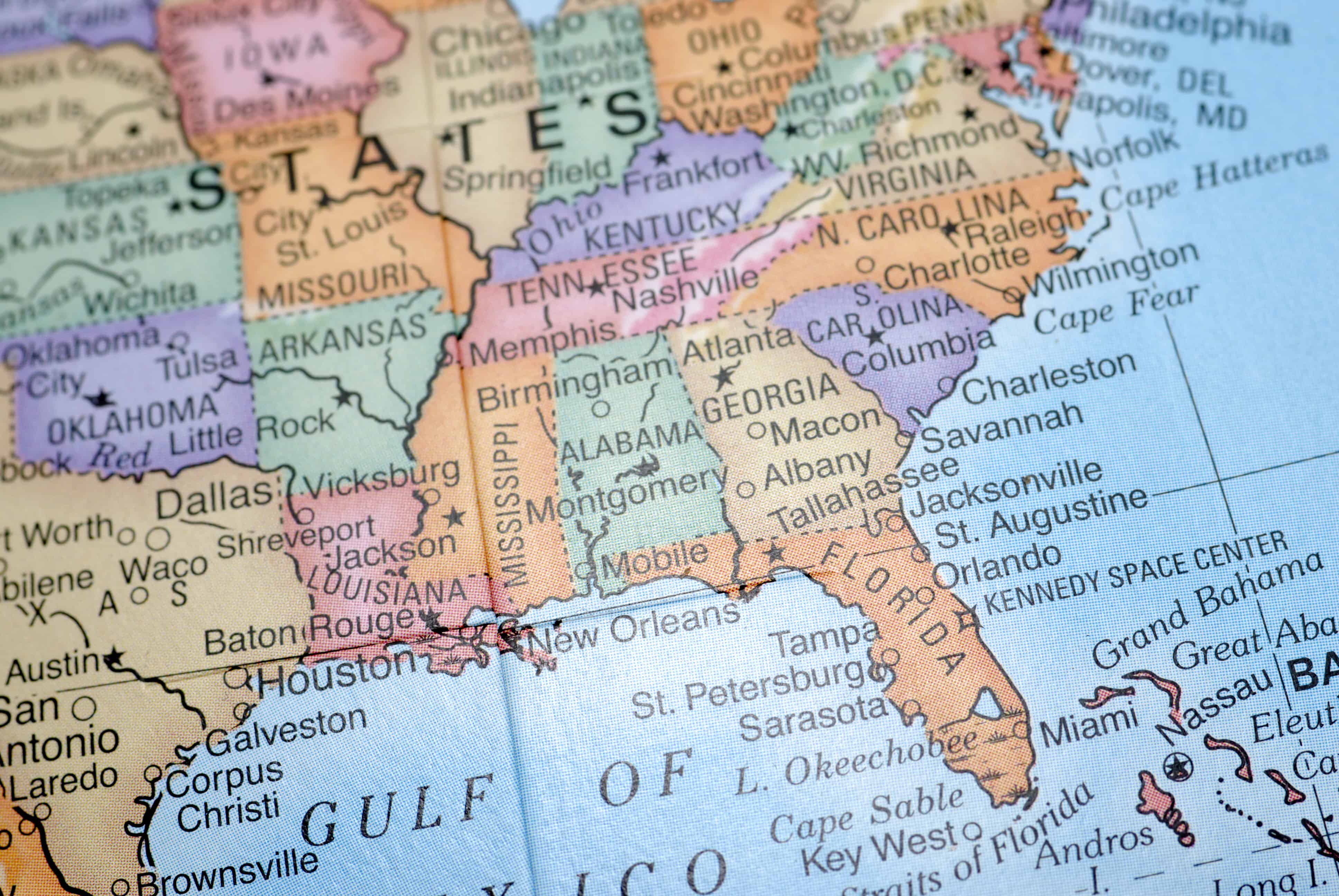

Have you been itching to compare the square mileage of every U.S. State? You’re in the right place!
The 50 states of the United States vary hugely in size. If Alaska were placed on top of the continental United States, its islands and southern peninsula would stretch from the Pacific to the Atlantic coasts. On the other end of the scale, Rhode Island is only about 1/9 the size of the Chicago metro area.
Where does your state rank in land area? Why are some states small and others enormous? In this article, we’ll provide you with a chart with the square mileage of every U.S. state. Just to make it more interesting, we’ll note which world country is closest in size to each state and try to answer a few other questions about how state boundaries were drawn. Try quizzing a friend to see how many of the largest and smallest states they can guess!
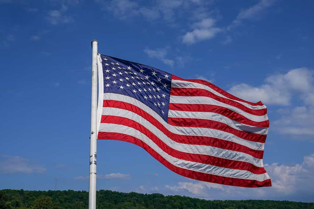
On the American flag, the stars representing the 50 states are all the same size. The states themselves are not.
©Leonard Zhukovsky/Shutterstock.com
How Did the United States Grow?
The United States acquired the territory that makes up the square mileage of every U.S. state in 10 stages:
- Britain founded the original 13 colonies along the Atlantic seaboard and then acquired the territory between the Appalachian Mountains and the Mississippi River from France after winning the 7 Years’ War. When the colonists won the Revolutionary War in 1783, this was the territory of the new country.
Early 1800s
- In 1803, Napoleon sold the remaining French territory on the North American continent to the United States, doubling the size of the country. The United States intended only to buy the port of New Orleans so that farmers west of the Appalachians could have access to the Gulf of Mexico to ship their products back east and around the world. However, Napoleon knew he could not defend this huge territory while engrossed in the conflict in Europe and the Caribbean, so he decided to get some money out of it for his war effort and deprive Britain of it by transferring it to the U.S.
- In 1818, The United States and Great Britain decided to make the 49th parallel the border between American and Canadian territory from Minnesota to the Rocky Mountains in Montana. This involved each side giving up and gaining some territory to create a straight line.
The United States wanted to purchase New Orleans for access to the Gulf of Mexico. Instead, it got the entire Midwest.
©Page Light Studios/Shutterstock.com
- The east coast of the United States was completed with the acquisition of Florida, southern Mississippi and Alabama, and western Louisiana from Spain in 1819. Spain was having difficulty with the expense of maintaining its garrisons in Florida and unrest in Mexico, and Britain was showing interest in acquiring Florida. So, Spain decided to transfer it to the United States in exchange for American recognition of the borders of Spanish-held Texas, and that the Americans would settle $5 million in claims of American citizens in Florida against the Spanish government.
Mid 1800s
- In 1845, the United States accepted an annexation request from the Republic of Texas. It was part of Mexico after the Mexican Revolution. Mexico at first had a friendly and hands-off policy toward American citizens immigrating to Mexico and settling in this thinly populated part of the country. When Mexico tried to centralize power, Texas declared its independence, then later applied to join the United States.
American settlers in Texas fought for independence from Mexico and later applied to join the United States.
©iStock.com/Greg Meland
- In 1846, The United States and Britain made the decision to extend the 49th parallel border with Canada all the way to the Pacific Ocean. This divided the gigantic Oregon Territory, which stretched from northern California all the way to Alaska, roughly equally.
- The U.S. and Mexico fought over where the border of Texas should be, and Mexico lost. In the peace agreement of 1848, the United States took over a huge territory that included California and other southwestern states. The U.S. government was considering taking much more, including the Baja and Yucatan Peninsulas and the northern half of what is today Mexico. However, the chief negotiator for the U.S. side was opposed to colonial expansion and negotiated an agreement that took much less of the country than many people expected.
- The Gadsden Purchase of 1853 completed the modern border between Mexico and the United States. This piece of land in what is today southern Arizona and New Mexico gave the U.S. control of a favorable route for building a transcontinental railroad connecting Texas with California.
Many Americans were opposed to the purchase of Alaska because it seemed like a frozen wasteland.
©Maridav/Shutterstock.com
Late 1800s
- Alaska was a colony of Russia before the United States bought it in 1867, after the American Civil War. For Russia, it was too far away to govern easily and there was the threat that one day the British Empire, which controlled neighboring Canada, would take it over. Selling it to the United States was a way of getting some money out of it and keeping it from eventually falling into British hands. The purchase was not popular with everyone in America. A lot of people thought Alaska was just a frozen wasteland and a waste of money. Over time, though, the gold, oil and other minerals extracted from it have more than repaid the purchase price.
- Hawaii, in the center of the Pacific Ocean, was an independent Polynesian country ruled by a queen. American missionaries and colonists arrived to plant the Christian religion as well as profitable plantations raising sugarcane and other tropical crops. When protectionist members of Congress began to impose heavy import taxes on sugar from foreign countries, plantation owners responded by overthrowing the local government and applying for annexation to the United States in 1898. Then, as a U.S. territory instead of a foreign country, the sugar tax no longer applied to them.
Hawaii was an independent kingdom before its government was overthrown and U.S. settlers demanded annexation to the United States.
©Asia visions photography/Shutterstock.com
The Square Mileage of Every U.S. State
| State | Land Area | Country Comparison |
|---|---|---|
| 1. Alaska | 570,640.95 mi2 | Mongolia |
| 2. Texas | 261,231.71 mi2 | Burma |
| 3. California | 155,779.22 mi2 | Paraguay |
| 4. Montana | 145,545.80 mi2 | Japan |
| 5. New Mexico | 121,298.15 mi2 | Poland |
| 6. Arizona | 113,594.08 mi2 | Philippines |
| 7. Nevada | 109,781.18 mi2 | Burkina Faso |
| 8. Colorado | 103,641.89 mi2 | Gabon |
| 9. Wyoming | 97,093.14 mi2 | Guinea |
| 10. Oregon | 95,988.01 mi2 | Guinea |
| 11. Idaho | 82,643.12 mi2 | Guyana |
| 12. Utah | 82,169.62 mi2 | Guyana |
| 13. Kansas | 81,758.72 mi2 | Belarus |
| 14. Minnesota | 79,626.74 mi2 | Belarus |
| 15. Nebraska | 76,824.17 mi2 | Senegal |
| 16. South Dakota | 75,811.00 mi2 | Senegal |
| 17. North Dakota | 69,000.80 mi2 | Cambodia |
| 18. Missouri | 68,741.52 mi2 | Uruguay |
| 19. Oklahoma | 68,594.92 mi2 | Uruguay |
| 20. Washington | 66,455.52 mi2 | Uruguay |
| 21. Georgia | 57,513.49 mi2 | Bangladesh |
| 22. Michigan | 56,538.90 mi2 | Bangladesh |
| 23. Iowa | 55,857.13 mi2 | Bangladesh |
| 24. Illinois | 55,518.93 mi2 | Bangladesh |
| 25. Wisconsin | 54,157.80 mi2 | Tajikistan |
| 26. Florida | 53,624.76 mi2 | Tajikistan |
| 27. Arkansas | 52,035.48 mi2 | Greece |
| 28. Alabama | 50,645.33 mi2 | Greece |
| 29. North Carolina | 48,617.91 mi2 | North Korea |
| 30. New York | 47,126.40 mi2 | North Korea |
| 31. Mississippi | 46,923.27 mi2 | Nicaragua |
| 32. Pennsylvania | 44,742.70 mi2 | Eritrea |
| 33. Louisiana | 43,203.90 mi2 | Honduras |
| 34. Tennessee | 41,234.90 mi2 | Iceland |
| 35. Ohio | 40,860.69 mi2 | Iceland |
| 36. Virginia | 39,490.09 mi2 | Iceland |
| 37. Kentucky | 39,486.34 mi2 | Iceland |
| 38. Indiana | 35,826.11 mi2 | Hungary |
| 39. Maine | 30,842.92 mi2 | Czech Republic |
| 40. South Carolina | 30,060.70 mi2 | Czech Republic |
| 41. West Virginia | 24,038.21 mi2 | Latvia |
| 42. Maryland | 9,707.24 mi2 | North Macedonia |
| 43. Vermont | 9,216.66 mi2 | North Macedonia |
| 44. New Hampshire | 8,952.65 mi2 | Djibouti |
| 45. Massachusetts | 7,800.06 mi2 | Slovenia |
| 46. New Jersey | 7,354.22 mi2 | Fiji |
| 47. Hawaii | 6,422.63 mi2 | Swaziland |
| 48. Connecticut | 4,842.36 mi2 | Vanuatu |
| 49. Delaware | 1,948.54 mi2 | Trinidad and Tobago |
| 50. Rhode Island | 1,033.81 mi2 | Luxembourg |
Why Are Some States Large and Others Small?
Considering the square mileage of every U.S. state raises the question, why are some states so large and others so small?
Small States
The smallest states in the United States are all on the East Coast and were some of the first British Colonies. Much of New England was settled by Protestant religious dissenters from the Church of England. They had a passion for religious and political freedom because of their experiences of persecution in Europe. This also made them suspicious of their own colonial governments as well, so disagreements among the leadership sometimes led to a faction breaking off to start a new colony. There were some good ports along the coastline of New England that enabled even smaller colonies to prosper economically through trade and attract a lot of settlers, growing large urban populations and creating sustainable colonies, which later became states, in small areas.
Large States
At the other end of the spectrum, large states were drawn on the map of the western part of the country because the population was so thin, a state needed to cover a lot of territory just to have enough people to meet the requirements to be a state. The climate in that part of the continent is mountainous, arid, or desert and cannot sustain a large population through agriculture. People moved there mainly for ranching and mining, neither of which requires a large population.
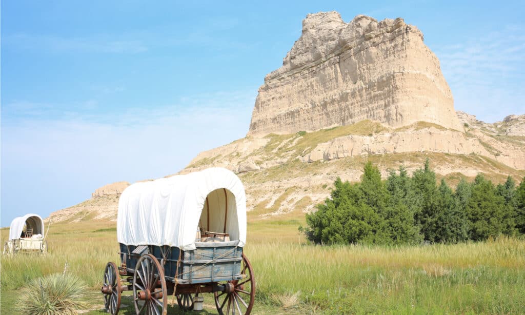
State borders in the plains states were drawn to connect arid western lands like the Chimney Rock area of western Nebraska, to more well-watered eastern land that could support agriculture and had access to navigable rivers.
©Traveller70/Shutterstock.com
Many of the state borders in the central United States were drawn to create long, horizontal states, like Nebraska, Kansas, and the Dakotas. The idea there was to include in each state an eastern portion that got more rain and river access and could support a larger agricultural population. However, each of those states also includes a large thinly populated territory to the west of arid land that they would be responsible for administering. So, this was part of an effort to make sure the task of developing and connecting less economically viable parts of the American territory was split up between different states that would have the resources to manage it.
Will We Get Any New States?
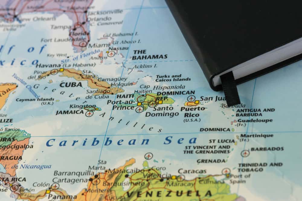
The United States still controls some territories that are not yet full states, and the question of adding them as new states or granting them independence is very controversial. Guam and American Samoa in the Pacific area are strategically located in the Asia-Pacific region to defend the United States from any potential threats from that direction. Puerto Rico and the U.S. Virgin Islands are strategic outposts in the Caribbean and also very popular vacation spots.
If it were a state, Puerto Rico would be larger in land area than Delaware or Rhode Island and would have a population larger than at least 20 states. The national capital, Washington D.C., is sandwiched between Maryland and Virginia but is not part of any state. It would be the smallest state by far in land area but would have more people than Vermont or Wyoming and almost as many as Alaska.
The relatively large populations of these areas would give them a lot of political influence if they became states. There are even some countries in the world with sizeable numbers of people interested in joining the United States. Check out the Guyana USA movement, for example. Some consideration was given to making the Philippines into one or more states when it was held as a U.S. colony. Several times in history the United States has expressed interest in buying the island of Greenland from Denmark, but this has gone nowhere, and it is more likely that Greenland will become a completely independent country one day.
Puerto Rico has more population than 20 of the current states. If it became a state, this would give it a great deal of political influence.
© wael alreweie/Shutterstock.com
Conclusion
Each of these regions has a specific history and special relationship with the United States and they do not all see these issues the same way. Most of them do not have a clear consensus among their citizens to change the current status quo. And adding new states has always been politically challenging because it can change the balance of power between our two main political parties. So, it seems most likely we’ll continue with our current 50 states and not have to worry anytime soon about how to crowd more stars onto the American flag.


How to Add Us to Google News


Thank you for reading! Have some feedback for us? Contact the AZ Animals editorial team.