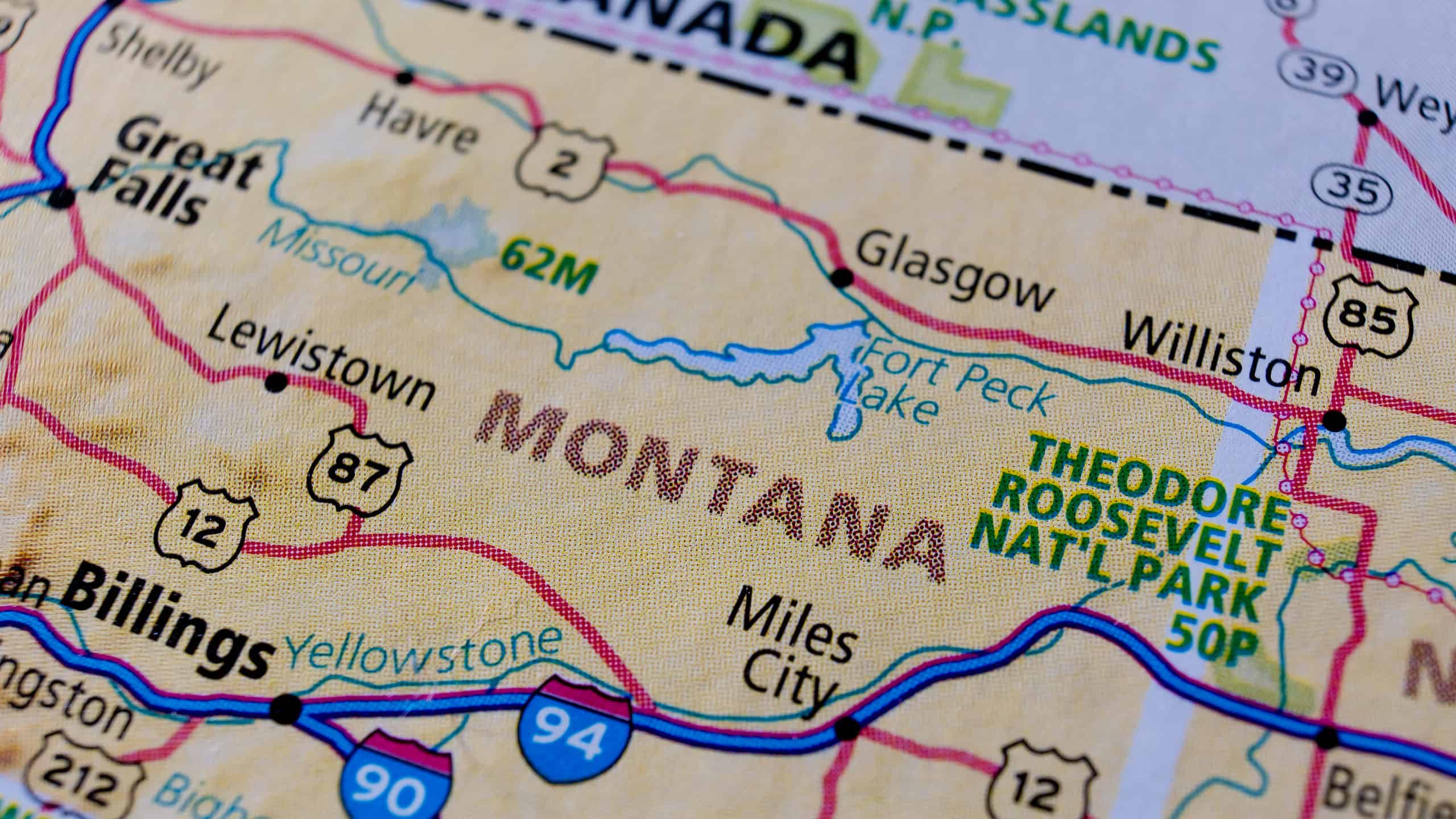

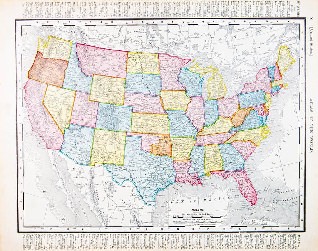
If you want to see what the United States looked like before it was thoroughly settled, farmed, and urbanized, Montana is a good place to go. Its name is Spanish for “mountain.” Not only does it have over a hundred mountain ranges, but forests and rolling plains galore. It’s the fourth-largest state by land area, but the third-least densely populated. This leads to the question of the unusual shape of Montana. Why does it include large areas of both mountains and plains? Why is it so large, instead of being divided into several states or added to neighboring ones? How did Montana get its unique shape?
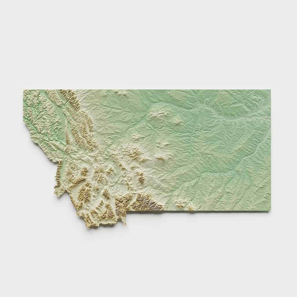
The shape of Montana is an enormous land area that includes over 100 mountain ranges in the West and rolling prairies in the East.
©EmLion/Shutterstock.com
How the United States Grew
It will be a little easier to understand the shape of Montana if we know how the country as a whole got its territory. Here’s a short overview:
East of the Mississippi
The first 13 states were colonies founded by Britain on the eastern seaboard. While they were still colonies, Britain expanded its territory all the way to the Mississippi River with land taken from France. The whole area east of the Mississippi was the original territory of the United States after it gained independence in 1783. All except Florida, that is. The U.S. acquired it from Spain in 1821 through a process of negotiation.
The Mississippi River was the original western border of the United States.
©iStock.com/Willard
The Midwest
The United States doubled in size in 1803 when it concluded the Louisiana Purchase with France. Preoccupied with European affairs, the French emperor Napoleon was more than happy to unload this territory. It was large, poorly settled, difficult to defend, and not bringing in enough profit to the treasury. After the purchase, the United States acquired the whole area from the Mississippi to the Rocky Mountains and from Canada to the Gulf of Mexico.
The United States approached France with an offer to buy the port city of New Orleans. Instead, Napoleon sold the U.S. all its land on the continent.
©Kevin Ruck/Shutterstock.com
The Northwest
After the purchase of the Louisiana territory, President Jefferson commissioned explorers Lewis and Clark to explore the new land. Searching for a northwest passage to the Pacific Ocean, they journeyed through what is today Montana, Idaho, Washington, and Oregon. This gave the United States a basis to claim this region, called the Oregon Country, for themselves. Britain, the colonial power ruling Canada, also claimed it, but the dispute was settled by dividing the area roughly in half along the 49th parallel.
The Lewis and Clark expedition provided a basis for the United States to claim land in the Pacific Northwest.
©iStock.com/AlbertPego
The Southwest
The southwestern states of the United States were all part of Spain, and later Mexico when it got its independence in 1821. American settlers in Texas resisted Mexican rule and finally staged a revolt and declared an independent Texas Republic. The U.S. annexed Texas and inherited with it serious boundary disputes with Mexico. This led to a 2-year war that ended in 1848 with the United States annexing about 55% of Mexico’s territory. Later, Mexico agreed to sell the U.S. an additional strip of land that was added to southern Arizona and New Mexico. This Gadsden purchase was for the purpose of building a transcontinental railroad through the most geographically favorable route.
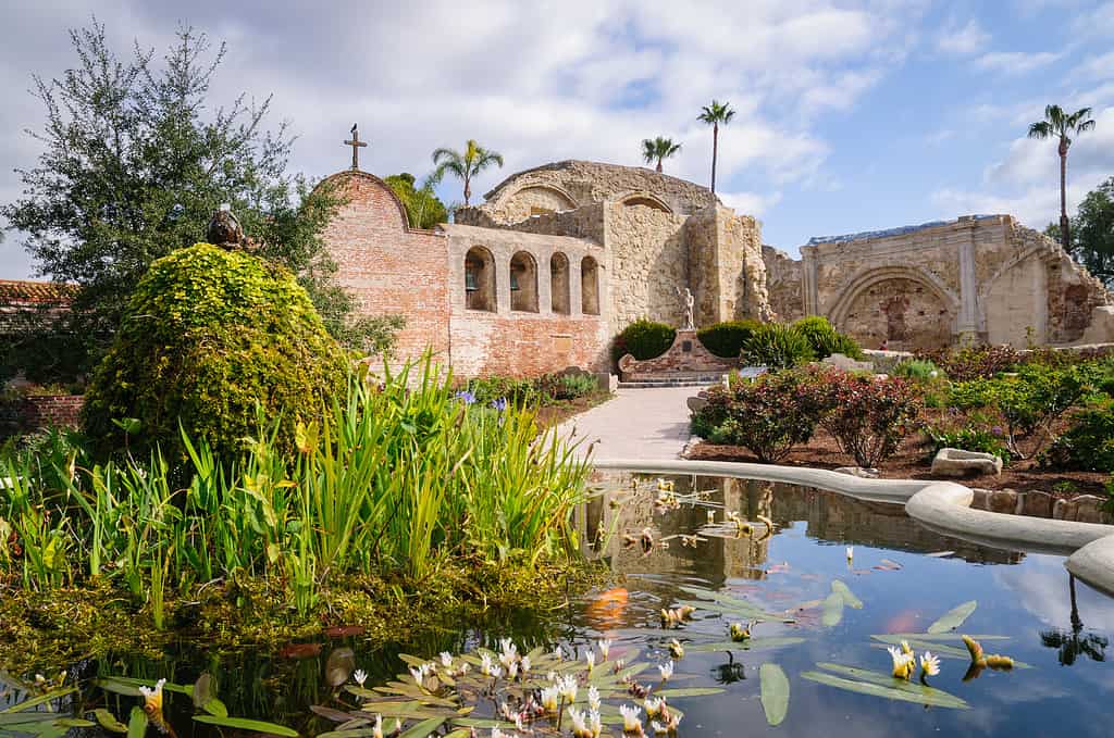
This is the Mission of San Juan Capistrano, California, showing the state’s Latin cultural influences.
©Zack Frank/Shutterstock.com
Alaska and Hawaii
The last two states of the United States were Alaska and Hawaii. Alaska was a Russian colony. It was located far away from Moscow, though, and cost more than it was worth to them to administer and defend. So they sold it to the United States in 1867. Hawaii was an independent country that was friendly to the U.S. and allowed American investors to set up plantations in the islands. The plantation owners and other business interests arranged a coup to overthrow Hawaii’s government and annex the islands to the United States.
Hawaii was an independent Pacific country that aligned with U.S. interests. Nonetheless, American investors decided to overthrow the government and orchestrate the islands’ annexation.
©iStock.com/SergiyN
How Did Montana Get Its Shape?
The borders of the Louisiana Purchase were somewhat imprecise in the north and west. Most of eastern Montana, though, was part of that territorial transfer. The mountainous western part of the state became American with the settlement of the Oregon Country dispute with Great Britain. In 1864 the Montana Territory was organized. The discovery of gold in the territory and the development of railroads helped bring more population to the area. Montana achieved statehood in 1889.
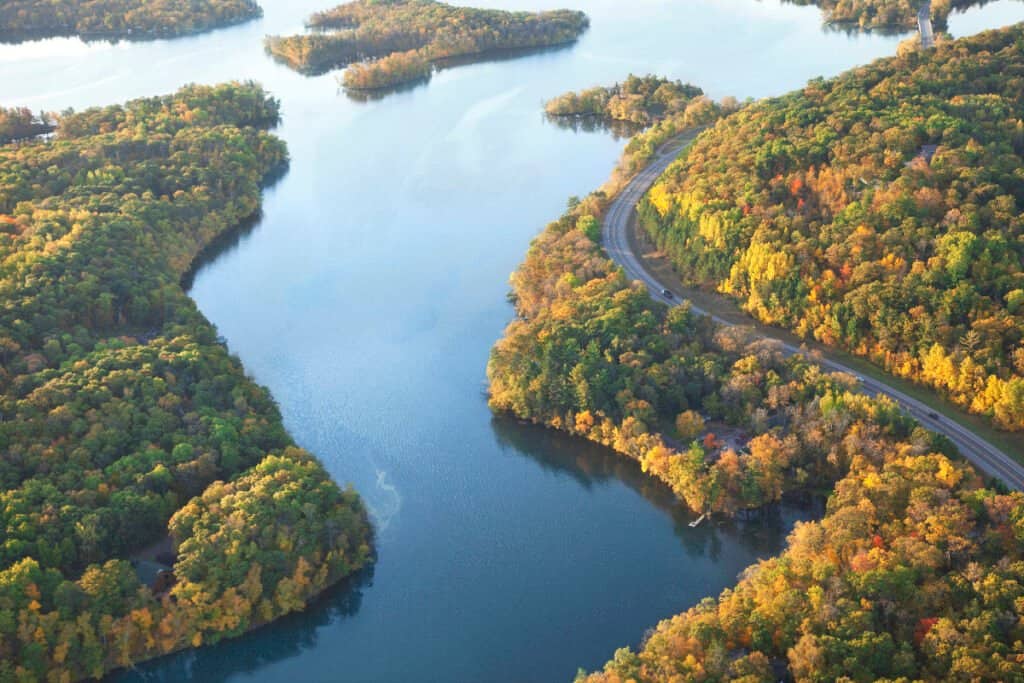
Montana’s Northern Border
Most of Montana’s northern border with Canada was fixed in 1818. In that year, the U.S. and Britain made the 49th parallel the border from the Lake of the Woods in Minnesota to the Rocky Mountains. The rest of Montana’s northern border was established in 1846. With war looming with Mexico, the U.S. didn’t want a war with Britain as well. So the two sides agreed to extend the 49th parallel border all the way to the Pacific Ocean. This agreement completed the modern-day state of Montana’s border on the north.
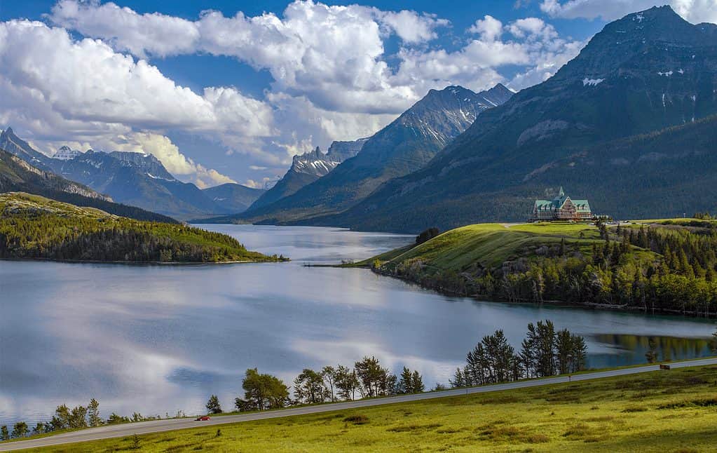
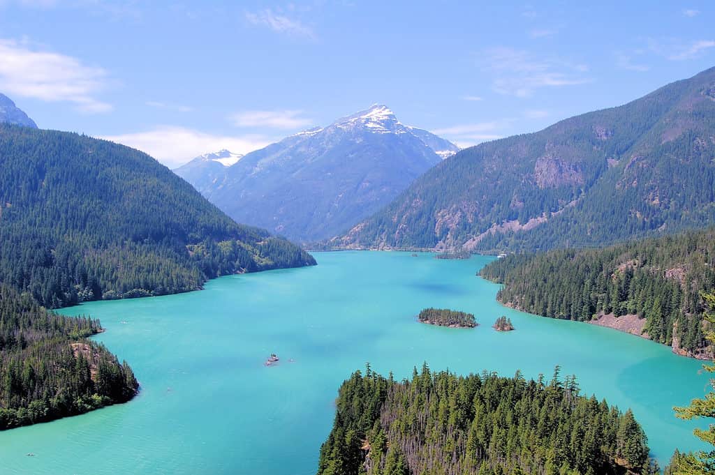
Waterton Lakes National Park in Alberta, Canada. It borders Glacier National Park in Montana in the United States.
©Steve Allen/Shutterstock.com
Montana’s Eastern Border
To the east, modern Montana shares borders with North and South Dakota. It took a lot of changes to the map to get it that way, though. In 1861 Congress organized the Dakota Territory, which included what is today North and South Dakota, most of Montana, and parts of Idaho. In 1863, the lands west of the Dakotas, including Montana, were organized into the Idaho Territory. There was an attempt to have Dakota added to the Union as a single state, but the two halves of the state had differences from one another. Ultimately, they were added as two separate states in 1889.
Generally speaking, state borders in the Great Plains were drawn long and horizontally to connect more arid land to the West with better-watered land in the East. This would help ensure the states had adequate farmland to support a sizeable population. Taxing them would provide funds needed for resource development in the more arid and mountainous West.
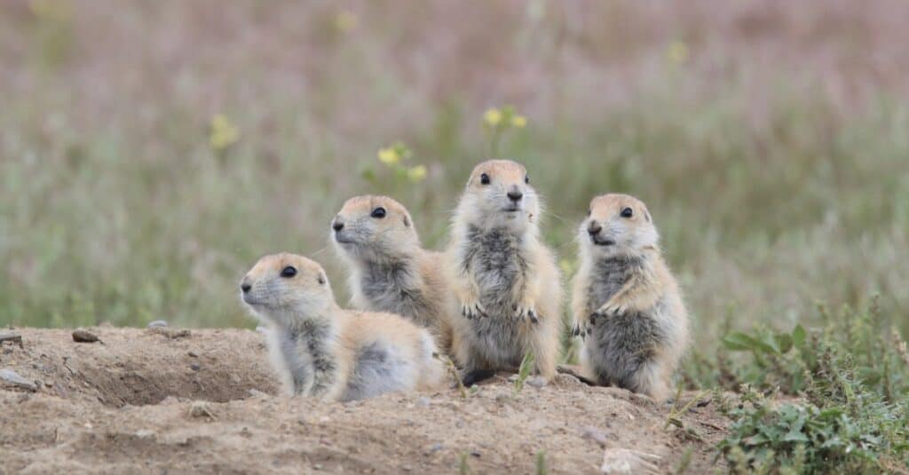
Eastern Montana has rolling prairies like the neighboring Dakotas. It’s a perfect habitat for prairie dogs.
©Frank Fichtmueller/Shutterstock.com
Montana’s Southern Border
Montana’s neighbor to the south is Wyoming. Wyoming became a state in 1890, a year after Montana. Congress organized the Wyoming territory in 1868 out of pieces of the Louisiana Purchase, the Oregon Country, and the Mexican Cession. Congress in the late 19th century favored creating states that were similar in size. So the line dividing Montana and Wyoming was chosen in part to give the two states comparable north-south dimensions.
Notice the states in the central and western portions of the country are roughly comparable in size. This was done intentionally by Congress, in part to connect areas of farmland with more arid and mountainous areas within the same state borders.
©Jim Pruitt/Shutterstock.com
Montana’s Western Border
The real mystery with Montana’s borders is to the west. Just a glance at the map makes you wonder why it looks like Montana has taken a huge bite out of Idaho. Somehow Idaho looks like a scrap left over after Montana took what it wanted. That’s not too far from the truth. The southern part of the Idaho-Montana border follows the Continental Divide. This is the place where rain falling on the mountains divides to flow down the western slopes to the Pacific and down the eastern slopes to the Gulf of Mexico. However, moving to the north the border takes a wild swing to the west to engulf territory that was originally intended for Idaho. What happened?
The influence behind Montana’s western border was Sidney Edgerton. He was a federal judge serving in the Idaho territory, and later the first governor of the state of Montana. And he was good friends with Abraham Lincoln. By all accounts, Edgerton used his influence–and some of the bags of gold he brought with him to Washington–to influence the process in Congress. And the result is that Montana was able to snag a huge area of gold-rich mountains that by all rights should have been Idaho’s. Which all seems pretty sinister unless you’re from Montana. In which case, it probably seems downright brilliant!
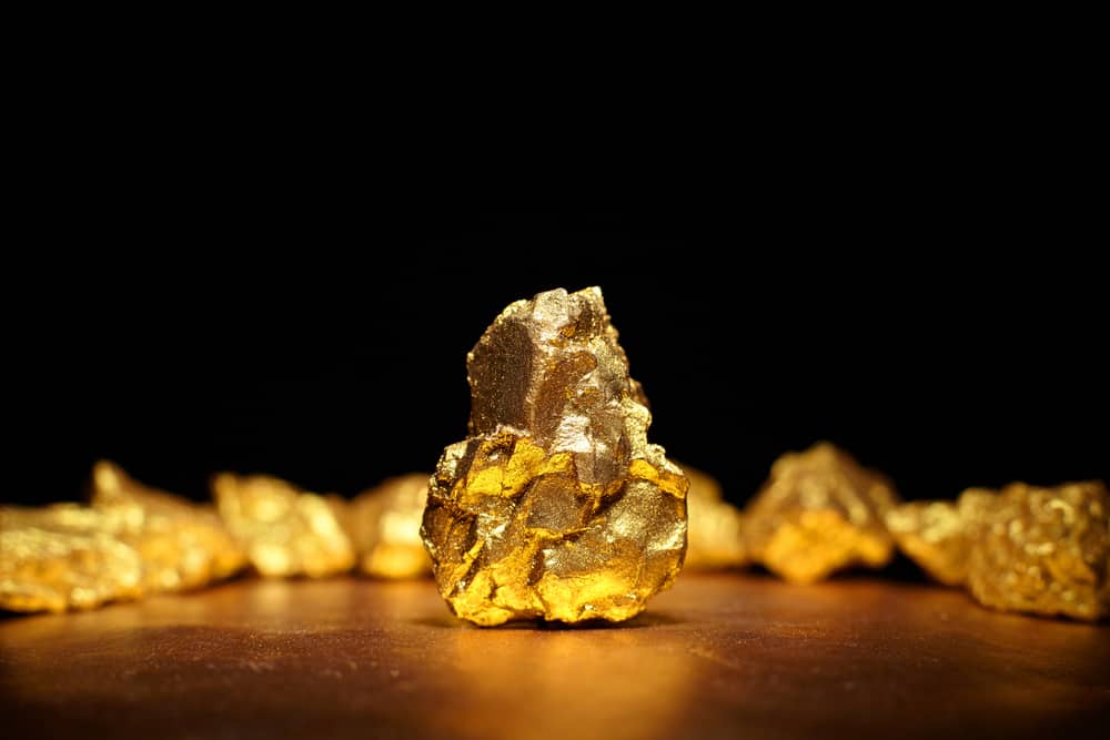
Gold was one of the main drivers of western settlement, and in some cases, the drawing of western state borders.
©Roman Bodnarchuk/Shutterstock.com


How to Add Us to Google News


Thank you for reading! Have some feedback for us? Contact the AZ Animals editorial team.