
Some North Carolinians like to say that their state is “a valley of humility between two mountains of conceit.” This barbed anecdote refers to the distinct cultural differences between North Carolina and two of its neighbors: Virginia and South Carolina. Historically, those two states were wealthier, with large plantations and influential politicians. North Carolina, by contrast, was a colony and later a state of small farms with more difficult access to the sea for commerce despite its long coastline. This article explores how officials determined state borders, particularly in North Carolina. Finally, we’ll explore whether North Carolina will ever unite with another state or divide further. Explore these interesting questions with us!
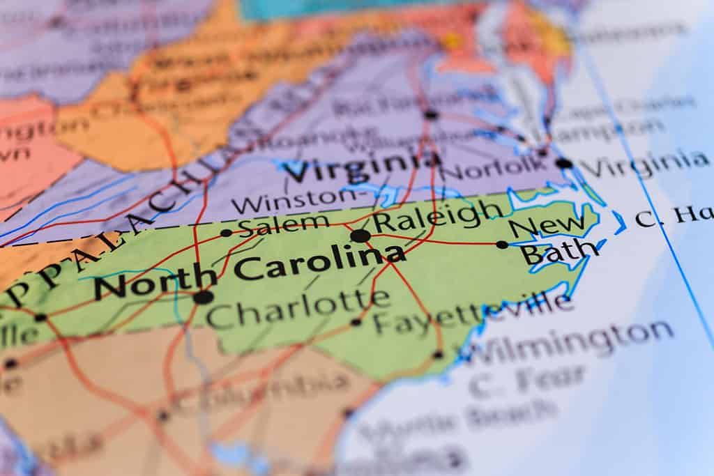
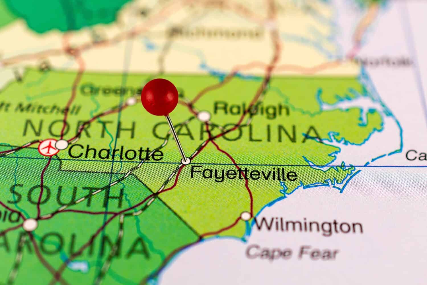
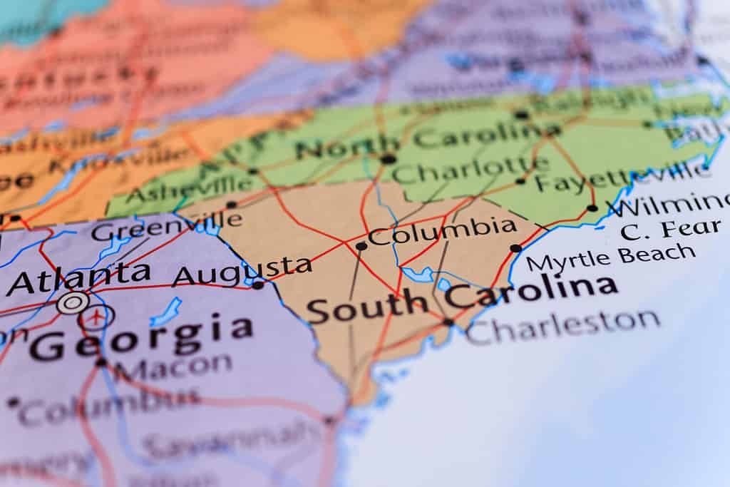
One of the original 13 colonies, North Carolina borders South Carolina, Georgia, Tennessee, and Virginia.
©Alexander Lukatskiy/Shutterstock.com
How Were New States Formed?
The U.S. Constitution does not lay out precise guidelines about forming new states. In the past, the U.S. Congress created territories out of newly acquired land and changed their borders over time as circumstances required. They decided that to become a state, a territory had to have a minimum population of 60,000 people, a democratic state constitution, elections for state officials, and approval by a majority vote of both houses of Congress. Each new state had to present a proposed map that would satisfy political interests within their own state and in Congress. The entire process, from acquiring the land, organizing territories, and accepting states was fraught with politics and typically influenced by wealthy business interests. This means state borders were often drawn in a way that kept important resources and trade routes under one state government led by determined people.
Examples of Factors Influencing State Shapes
Here are examples of some of the considerations of geography, politics, and economics that influenced the size and shape of the states:
- Great Britain approved the boundaries of the original colonies, including North Carolina. Geographic features like rivers influenced these borders.
- In New England, some of the smaller states formed due to religious disputes between their Puritan founders.
- As the country developed modern travel infrastructure, routes for canals and railroads contributed to decisions on state boundaries.
- States to the East and West of the Mississippi often have long horizontal borders intended to allow farmers and merchants in more distant areas to take their produce to the river for export without having to cross state boundaries and deal with taxes and fees of different jurisdictions.
- Thomas Jefferson thought states should be roughly equal in size and power. He wanted to base state boundaries on longitude and latitude lines and make each one a rectangle of 138 miles by 276 miles. His ideas influenced the grid-like borders of the Plains and Western states.
- The following large states were not split for various reasons: Texas was an independent country with a growing national identity before it became part of the United States. California had a distinctive, independent-minded population. They wanted to keep the fertile Central Valley together, along with gold-bearing mountains. Alaska had a small, scattered population that was not large enough to justify creating multiple states.
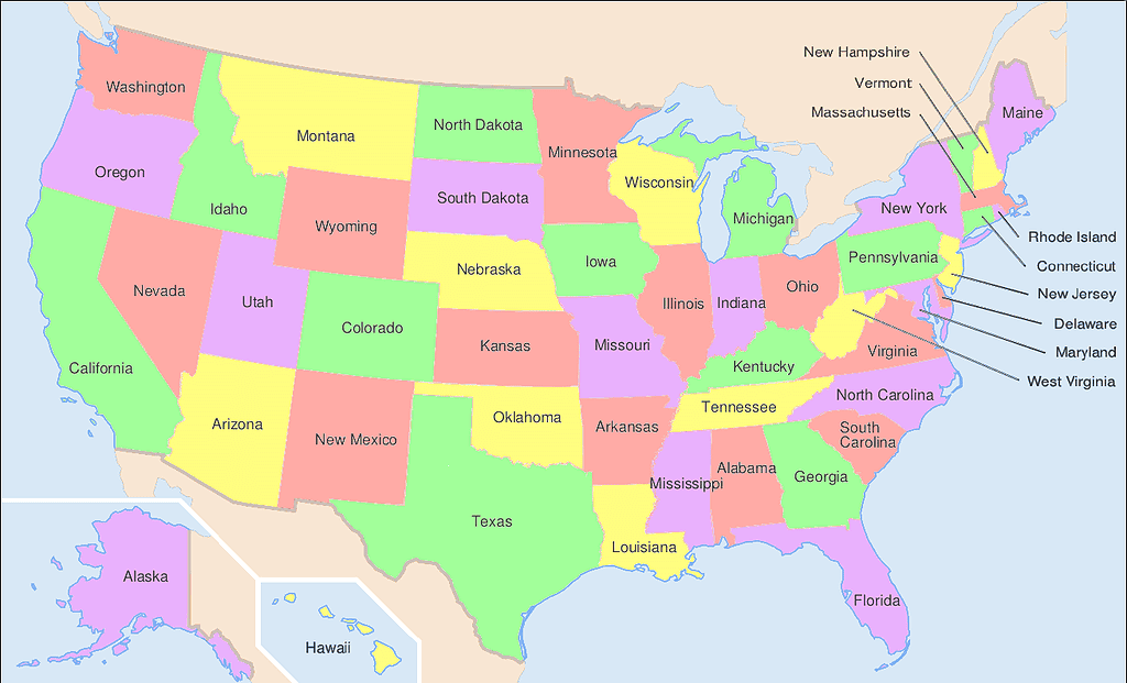
The U.S. states differ wildly in size and shape. This is due to geography, economics, and politics.
©User:Wapcaplet in Inkscape / CC BY-SA 3.0 – Original / License
Determining North Carolina’s Borders
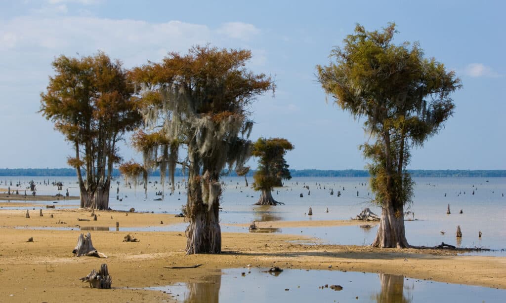
The Atlantic Ocean
The first factor that determined North Carolina’s shape was the Atlantic Ocean coastline. In the east, North Carolina has a broad, sandy coastal plain cut by rivers that make deep inlets along the shore. Offshore are the Outer Banks: a system of sandy, narrow barrier islands stretching from the Virginia border to about halfway down the North Carolina coast. The Outer Banks protect the North Carolina coast, but they are also a significant hindrance to sea traffic, as storms constantly shift the undersea sand bars around them. This has caused innumerable shipwrecks in the area for hundreds of years.
In early colonial days, this area was a favorite hideout for pirates. Larger and heavier naval ships could not navigate sand shoals. They were unable to pursue pirates to the islands and river inlets. Descendants of pirates lived isolated on the coastal islands for generations. In fact, some still speak in an accent influenced by Old English. An example is the Ocracoke Brogue accent that has almost died out.
The Blue Ridge Mountains
To the west, North Carolina’s border is also based on clear geographic features. The Blue Ridge Mountains, a part of the Appalachian Mountain range, divide North Carolina from Tennessee. This was not always the case, though, as North Carolina originally claimed the entirety of what is now Tennessee, all the way to the Mississippi River. However, North Carolina agreed to give up its claim to Tennessee to the Federal government in exchange for debt forgiveness.

The Blue Ridge Mountains’ characteristic blue haze comes from isoprene released by the forest cover.
©digidreamgrafix/Shutterstock.com
Division from South Carolina
North and South Carolina were a single colony from 1629 to 1712. The colony’s original name was “Carolana,” named after King Charles I. His son, Charles II, renamed it “Carolina”. As the population grew, the state was too big to be governed effectively. There was a lot of corruption and dissatisfaction. To manage the area more effectively, a deputy governor ran the northern half of the colony. Over time, the two regions separated culturally and economically until they formally divided into two colonies in 1712. British authorities determined the border.
South Carolina has a warmer climate than North Carolina and is suitable for different crops.
©iStock.com/brianjhudson
Border Dispute with Georgia
In the southwestern part of the state, North Carolina shares a border with Georgia. The boundary there was under dispute in Walton County and the “Orphan Strip.” South Carolina originally claimed this area, then ceded it to the federal government in 1787. It was given to the Cherokee tribe in 1798. Then, the federal government transferred it to Georgia in 1802. When Georgia tried to assert control, settlers from South Carolina supported them, but those from North Carolina resisted. Minor armed conflict took one life. Georgia continued to claim the area until a new survey in 1811 showed that both Walton County and the Orphan Strip belonged to North Carolina based on their original charter. The territory was transferred to their jurisdiction with no further dispute from Georgia.

Cherokee tribespeople lived in the borderlands of North Carolina and Georgia.
©tedpagel/iStock via Getty Images
Northern Border with Virginia
Virginia was the first permanent British colony in North America. Its original charter gave it almost all of today’s North Carolina. But King Charles I split off the southern part as the colony of Carolana so that he could give land grants to nobles allied to him. The border was a straight line that extended across the continent to the “South Seas” (Pacific Ocean).
One of the priorities was to keep the mouth of the Chesapeake Bay under the jurisdiction of Virginia. This is why the North Carolina border was south of the mouth of the Bay, and Virginia retained control of the southern tip of the Delmarva Peninsula. Remember that the original colonies were thought of in many ways like independent countries, each with its own local rules and taxation policies. If access to important harbors and other waterways were controlled by two or more states, it could make access more problematic and merchant ships might choose other ports. When officials finalized the border between the two colonies, some plantations were split between the two sides. This made them subject to taxation in two jurisdictions. Because taxes were lower in North Carolina, farmers wanted to end up on that side of the border.

The Chesapeake Bay Bridge-Tunnel connects two parts of Virginia across the mouth of the Bay.
©Paul’s Photo Shop/Shutterstock.com
Will Carolina Ever Reunite?
With states that share a name, such as Virginia and West Virginia or North and South Dakota, people sometimes wonder if they will ever reunite. The short and simple answer for North and South Carolina is “no.” They have grown decisively apart into distinctive states with separate cultures, legal policies, and state regulations. States should not reunite just because they were once united and share a common name.
North and South Carolina were once one colony. These states are unlikely to reunite.
©Alexander Lukatskiy/Shutterstock.com
Will North Carolina Split Up?
If North Carolina will not join South Carolina, will it go the opposite direction and break up? Will it split into more than one state, or will parts of it try to join neighboring states? Again, this is highly unlikely. Like with most of the country, North Carolina cities are more politically liberal than the rural areas. In places like California and Oregon, frustrated rural people are talking about seceding from their states. In North Carolina, though, neither political party dominates the system to the same extent.
America was founded on political struggles and a series of compromises that brought divergent interests into one political system. Keeping the country together will mean persisting through the political disagreements that threaten to divide us. We have to make reasonable compromises so that citizens do not feel misrepresented to the point that they want to leave. Of course, that is true on both sides of the political spectrum.


How to Add Us to Google News


Thank you for reading! Have some feedback for us? Contact the AZ Animals editorial team.