The state of Texas is a large and expansive one. Texas, the second-largest state in the United States, has 15 major rivers and 3,700 named streams. According to the National Wild and Scenic Rivers System website, this makes up 184,787 total miles of Texas riverways. No one really thinks about rivers when they think about Texas, but this massive southern state has some incredible waterways to see and explore. Today, we’ll be looking at the largest watershed completely contained in Texas – the Trinity River. This is the third-largest river in Texas by average flow volume and its length could almost stretch across the entire state from east to west. So, how long is the Trinity River?
How Long is the Trinity River?

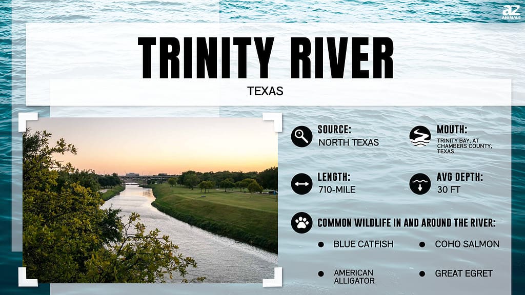
The Trinity River stretches an incredible 710 miles, all within the state of Texas. Its river basin, too, is completely contained in Texas, draining an area of 17,913 square miles. The Trinity River has an average depth of about 30 feet. The river rises in the far northern portion of Texas, just a few miles south of the Red River – a 1,360-mile behemoth of a river. High bluffs on the southern side of the Red River separate the two rivers. There are four forks of the Trinity River – the West Fork, the East Fork, the Clear Fork, and the Elm Fork. The total length of the river includes all of these forks. Let’s look at the forks and where they meet one another.
West Fork of the Trinity River
The West Fork of the Trinity River is the first fork, rising 20 miles southeast of Archer City. This fork makes up the first 145 miles of the Trinity River on its own and flows through four counties. It also defines the county line between two other counties. As it flows southeast, it first moves into Jack County and then flows into Lake Bridgeport as it crosses into Wise County. After this reservoir, the river continues southeast and then curves further south as it flows into Tarrant County. It meets its confluence with the Clear Fork of the Trinity River just southwest of Forth Worth.
Clear Fork of the Trinity River
The Clear Fork of the Trinity River is not considered one of the principal branches of the river. It is still a hugely important part of the watershed, and it is the first to join the West Fork. This river rises two miles south of Gibtown, Texas. This is located in the southeastern reaches of Jack County, Texas. This fork flows for 61 miles before it meets the West Fork of the river. The confluence of these two rivers rests south of Lake Benbrook in southwestern Tarrant County. After the two forks meet, the river flows due east until its confluence with the Elm Fork.
Elm Fork of the Trinity River

The main stem of the Trinity River begins in downtown Dallas, Texas.
©f11photo/Shutterstock.com
The next fork of the Trinity River to join the West Fork is the Elm Fork. This fork rises in eastern Montague County. This fork flows for 85 miles before it reaches its confluence with the West Fork. Montague County is one of the counties that makes up the northern border of Texas. This fork flows mostly east for its first few miles and then curves south outside of Gainesville, Texas. It feeds into Lake Ray Roberts, one of the 22 reservoirs along the Trinity River. After passing through this 29,000-acre reservoir, it will flow into another large reservoir – Lake Lewisville. This lake is one of the largest lakes in north Texas, spanning 29,000 acres and boasting an incredible 233 miles of shoreline.
The river will continue to flow southeast until its confluence with the West Fork of the river about a mile west of downtown Dallas, Texas. This is the beginning of the main stem of the Trinity River, which will only be met by one more major fork – the East Fork.
East Fork of the Trinity River
The last fork of the Trinity River rises in central Grayson County, east of Gainesville, Texas. It flows south for 78 miles, passing through three counties and meeting the main stem of the river in the fourth. This fork of the river flows through the center of Collin County and meets McKinney, Texas, then keeps flowing south into Rockwall County. The river meets Lake Lavon to the east of Plano, Texas, and continues to flow south. At this point, Dallas, Texas, is sitting to the west of the river. South of Dallas, the main stem meets the East Fork.
The Final Course of the River
Now that all of the stems of the river have met and joined the main stem, the river continues to flow southeast through several counties and into Lake Livingston. The main stem flows from the Sylvan boat ramp in Dallas all the way to its mouth in Trinity Bay as it flows into the Gulf of Mexico. This stem flows about 423 miles to finish the course of this large and impressive river.
The Trinity River vs. Other Rivers in Texas

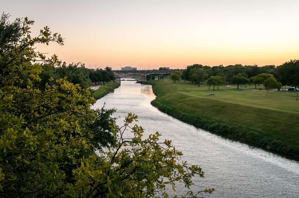
A beautiful view of the Trinity River as it flows past Forth Worth, Texas.
©Megan McHatten/Shutterstock.com
As we stated before, the Trinity River is the largest river flowing entirely in the state of Texas. Let’s look at the lengths of a few other major rivers in Texas. Not all of these rivers are fully contained in the state, leaving the Trinity River in a league of its own. While most of these rivers are a lot longer than the Trinity River, the Trinity River is still an incredibly important part of Texas, providing at least half of Texas’s clean water supply. Let’s check out some other important rivers that flow through the state.
| River | Length |
|---|---|
| Rio Grande | 1,885 miles |
| Brazos River | 840.1 miles |
| Colorado River | 1,450 miles |
| Pecos River | 926 miles |
| Nueces River | 315 miles |
The photo featured at the top of this post is © iStock.com/33ft
Thank you for reading! Have some feedback for us? Contact the AZ Animals editorial team.


