
Kentucky is an intriguing state that bridges gaps between north and south, east and west. It has large cities, mountains, rivers, rolling farmland, and forests. Famous for its bourbon, horse racing, fried chicken, and Bluegrass music, Kentucky makes a unique contribution to America’s diverse cultural tapestry. Before you explore it for yourself, let’s discuss the state’s size, including its total distance from north to south, and what you’ll encounter traveling across it.
Kentucky’s Statehood
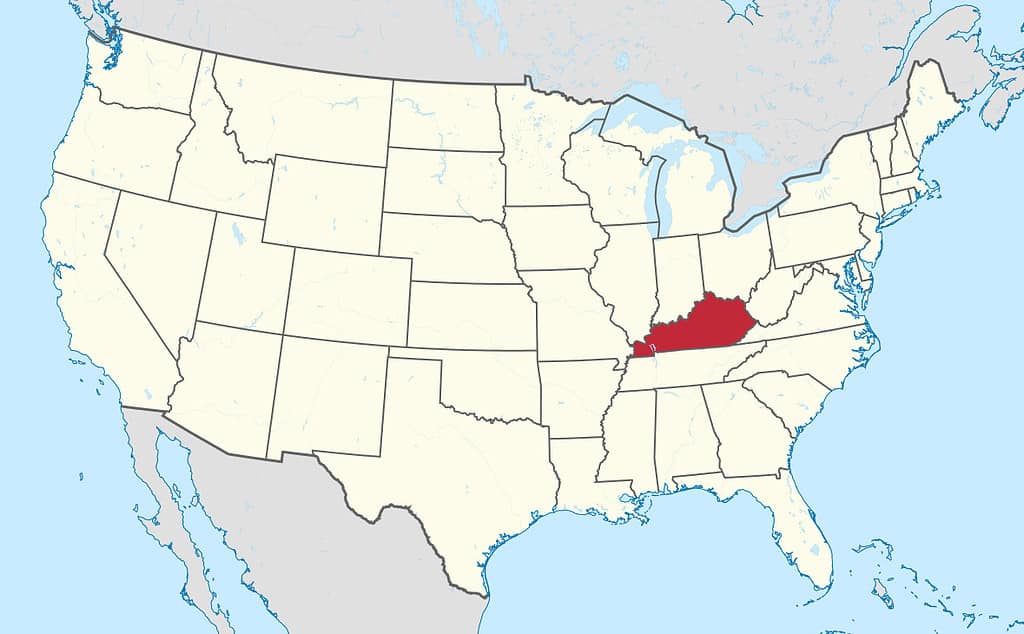
Kentucky is in the Southeastern United States in a transitional position between the north and south.
In the colonial era, Kentucky actually started out as part of Virginia. In fact, Virginia’s charter gave it grounds to claim everything to the Pacific Ocean, at a time when Europeans had not yet fully appreciated the vast size of the continent. Practically speaking, Virginia’s border stopped at the Appalachian Mountains, as the French Empire claimed the land west of it. After the French and Indian War, the British took control of the whole area between the Appalachians and the Mississippi River. Virginia administered Kentucky until allowing it to organize as a separate territory in 1790. It became the 15th state in 1792.
Along with Virginia, Massachusetts, and Pennsylvania, it is one of only four states that call themselves “Commonwealths” instead of “states.” Notably, although the Commonwealth of Kentucky was a slave state, it did not secede along with the other Southern states during the Civil War so there has been no pause in its statehood status. Maryland, Delaware, and West Virginia are other examples of areas that practiced slavery but remained part of the Union.
Geographic Dimensions of Kentucky
The Appalachian Mountains form the border between Kentucky and Virginia.
©anthony heflin/Shutterstock.com
Kentucky is the 37th state in land area, having 39,732 square miles of land. It shares borders with seven states: Tennessee, Missouri, Illinois, Indiana, Ohio, West Virginia, and Virginia. It is 397 miles across at its widest east-west point, and 187 miles from north to south at its “tallest” point. The land elevation ranges from 250 feet above sea level to 750 feet. The topography is highest and most mountainous in the east, changing from rolling hills in the center of the state to lowlands along the Ohio and Mississippi Rivers in the west. The climate of Kentucky is humid subtropical, with temperatures ranging from a low of 40 °F to 91 °F on average.
Traveling Kentucky, North-to-South

Residents cross the Ohio River via the Brent Spence Bridge from Cincinnati to Northern Kentucky.
©ChicagoPhotographer/Shutterstock.com
If you’d like to travel across this north-to-south route, you can start at Cincinnati, Ohio, and travel south on Interstate 75 to Lexington, Kentucky. Continuing on this route will take you through the Daniel Boone National Forest and eventually to Knoxville, Tennessee.
Northern Kentucky
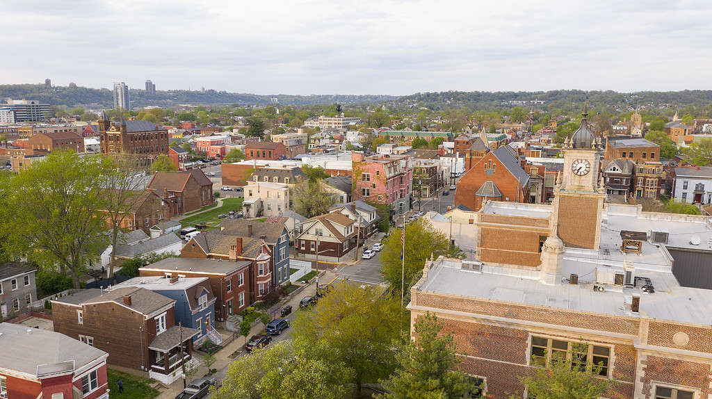
Colorful history and architecture can be found in Newport, Kentucky
©iStock.com/ChrisBoswell
The first two communities you’ll encounter in Northern Kentucky are Covington and Newport. You’ll see skyscrapers, industry, sprawling suburbs, commercial shopping complexes, and river-based recreation, much like neighboring Cincinnati. Many people live there and commute to work in Cincinnati. The limited capacity of the aging bridges across the river makes this a challenge during rush hours, though. The Cincinnati/Northern Kentucky International Airport is located immediately to the west, close to Erlanger.
Lexington
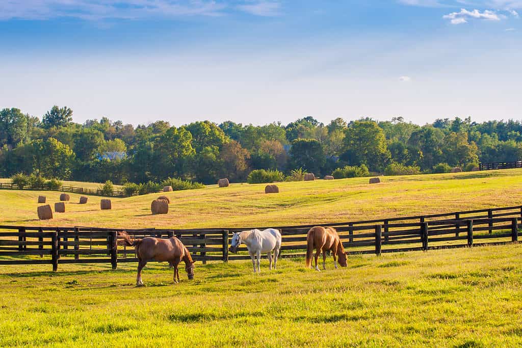
Horse
ranches like these are a common site as you drive through the area around Lexington, Kentucky.
©Irina Mos/Shutterstock.com
The 82-mile drive from Cincinnati to Lexington takes about an hour and a half through gorgeous rolling green hills, farmland, and forests. Lexington is the second-largest city in the state with about 320,000 people. You’ll find plenty of museums, shops, cultural and sporting events, and historical sites to visit. In the Bluegrass country around the city, you’ll pass a great many immaculate horse farms and can tour some of them. The most successful is Jonabell Farm, owned by HH Sheikh Mohammed, the Prime Minister of the United Arab Emirates. It has produced over 200 stakes-winning racehorses. Queen Elizabeth II also boarded and bred racehorses in Kentucky and made six visits to the state in the 1980s and 90s to inspect them and attend the Kentucky Derby in Louisville.
Richmond, Kentucky
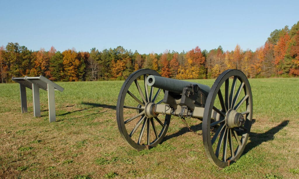
Civil War battle sites are found across Virginia and Kentucky, two hotly contested battleground states.
©iStock.com/visionsofmaine
A short 38-minute drive south of Lexington, it’s worth your time to stop in the town of Richmond. The Civil War battle of Richmond was fought there in 1862. Battlefield Park has a visitors’ center where you can learn about the battle and Kentucky’s role in the Civil War. The Confederacy won this battle and went on to take Frankfort. This was the only Union state capital to be conquered by the rebels during the war.
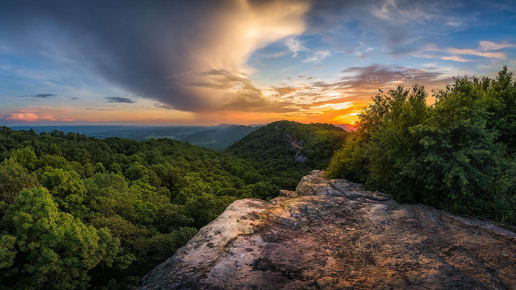
Daniel Boone National Forest
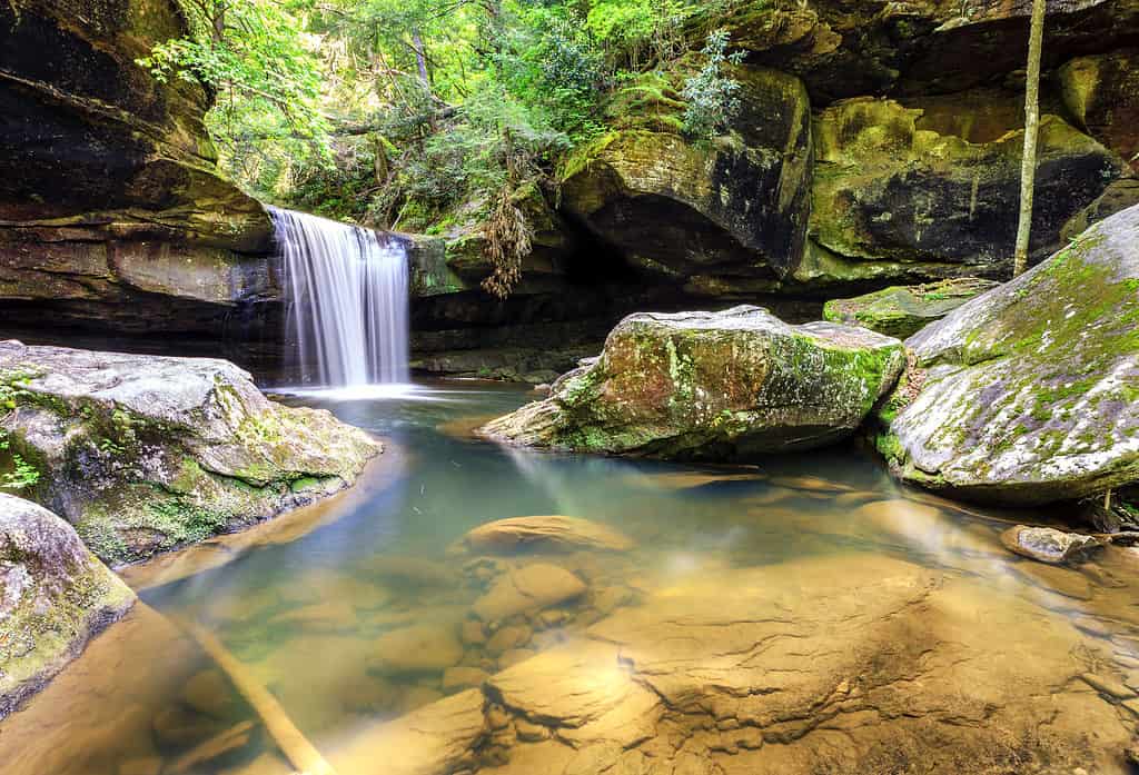
In the Daniel Boone National Forest in Southern Kentucky, visitors enjoy stunning scenery and wildlife.
©Alexey Stiop/Shutterstock.com
The Daniel Boone National Forest protects about 708,000 acres of mountainous forested land. You’ll drive through it on I-75 in Southern Kentucky, up to the border. With 600 miles of trails and 250 recreation sites, it’s a good place to take a rest stop or camp for the night. Of course, it is named for Daniel Boone, the famous frontiersman who explored Kentucky and helped defend it during the American Revolution. The Daniel Boone National Forest gives you an authentic idea of what this rugged terrain was like in his day. With a sharp eye, patience, and a little luck, you’ll spot deer, turkeys, rabbits, foxes, raccoons, a wide variety of waterfowl, and maybe even a black bear, if you’re extraordinarily fortunate.
Get Off the Highway!
Farmland in the Bluegrass region of Kentucky is a beautiful sight.
©alexeys/iStock via Getty Images
In principle, you could drive across Kentucky’s “tallest” distance in three hours or less. But why would you want to do that? With so much to see and do along the way, why not make it a three-day trip, instead? It can be a warmup for your next trip: driving the almost 400 miles of Kentucky’s widest point!
The photo featured at the top of this post is © Doug Kerr / flickr – License / Original


How to Add Us to Google News


Thank you for reading! Have some feedback for us? Contact the AZ Animals editorial team.