
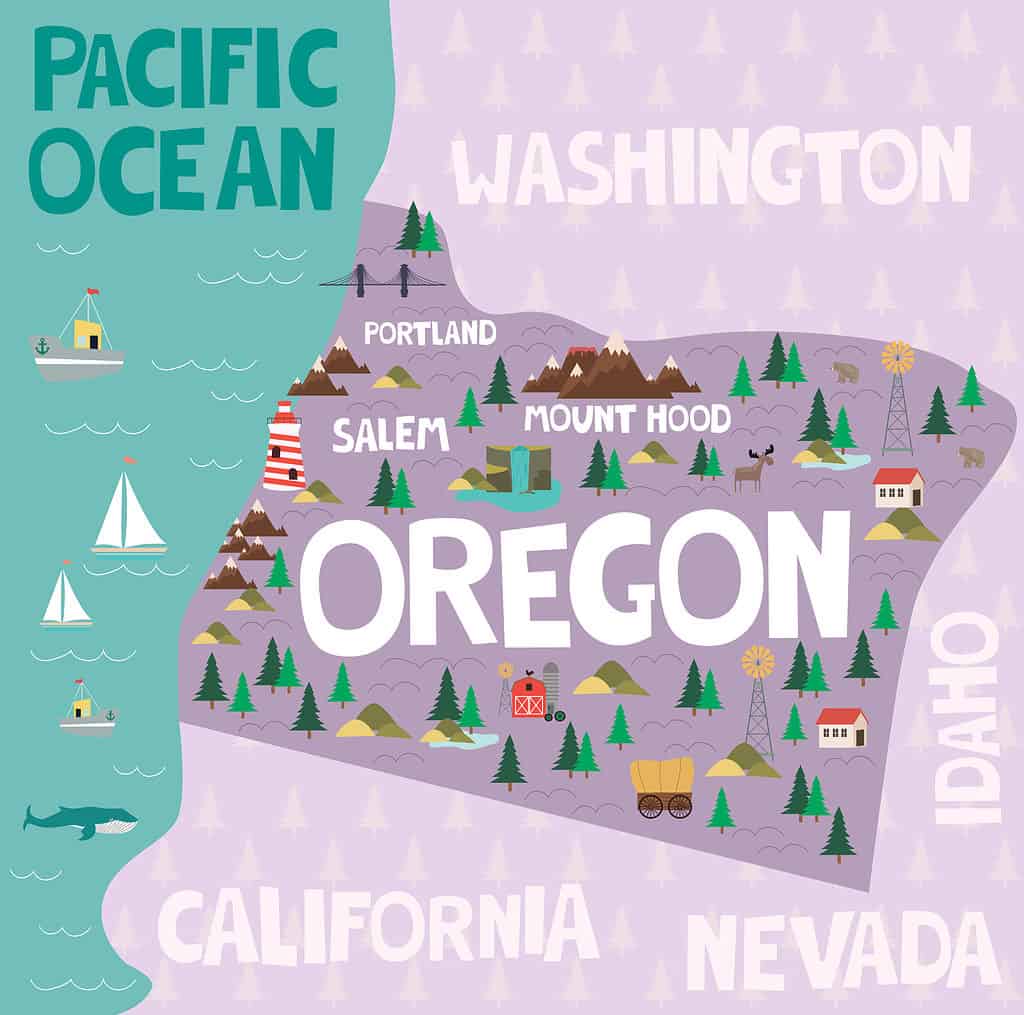
Oregon is part of the Pacific Northwest region of the U.S. Known for its gorgeous national state parks, rocky coastlines, and historic trails, Oregon is the ninth largest state in the country. But how tall is Oregon? Discover the total distance from north to south.
How Tall Is Oregon?

If you were to drive north to south across Oregon at 65 miles an hour, the trip would take you a little over four and a half hours.
©FunF.Studio/Shutterstock.com
Measuring Oregon from north to south at its longest distance, it is 295 miles tall. That’s about five and a half times the length of the Panama Canal. And, if you were taking a trip from the north border of Oregon to the south border and driving 65 miles an hour, it would take you about four and a half hours. Calculating the distance between Oregon’s eastern border and western border, it is about 395 miles wide, about one-fifth the length of the Oregon Trail.
How Big Is Oregon?
Oregon has 95,988.01 square miles of land area, making it the 10th largest state when measured by land. About 97.57 percent of the state is solid ground, and 2.43 percent is water, with 2,390.53 square miles of lakes, rivers, and other bodies of water. With a total area of 98,378.54 square miles, Oregon is the ninth biggest state in the U.S., making it a little bigger than the United Kingdom.
How Does Oregon Compare to Its Neighboring States?
Comparing how tall Oregon is to its neighboring states, three of the states are taller.
©Mio Buono/Shutterstock.com
Next to its neighbors, Oregon is second to last when it comes to length. Here’s how the surrounding states stack up:
| State Name | Length from North to South |
|---|---|
| Washington | 240 miles |
| Oregon | 295 miles |
| Idaho | 479 miles |
| Nevada | 492 miles |
| California | 1040 miles |
How Does Oregon Compare to Other States?
When compared to the top three largest states in America, Oregon can’t quite compare. For instance, the longest state in the U.S., Alaska, is about 4.8 times longer than Oregon. Here is how tall the top largest states are:
| State Name | Length from North to South |
|---|---|
| Alaska | 1420 miles |
| California | 1040 miles |
| Texas | 801 miles |
Compared to the top three smallest states in America, Oregon is a little over six times the length of the smallest state, Rhode Island. Here is how tall the top three smallest states are:
| State Name | Length from North to South |
|---|---|
| Rhode Island | 48 miles |
| Delaware | 96 miles |
| Connecticut | 110 miles |
Which States Are Similar in Length to Oregon?

Colorado is only 15 miles shorter than Oregon in length, but it beats Oregon in total size, with Colorado ranking as the eighth-largest state in the U.S.
©Sarah Quintans/Shutterstock.com
Here are the three states that are closest to Oregon’s length:
| State Name | Length from North to South |
|---|---|
| Wyoming | 371 miles |
| Utah | 350 miles |
| Colorado | 280 miles |
Colorado is the closest state to Oregon’s total distance from north to south. It is only 15 miles shorter than Oregon.
How to Travel Oregon North to South

Interstate 5 is the only one that travels Oregon from north to south.
©arboursabroad.com/Shutterstock.com
The second-longest freeway in Oregon, Interstate 5, is the only Interstate to navigate the entire state from north to south. Interstate 5 is located west of the Cascade Mountains and connects major cities like Portland, Salem, Eugene, and Medford. Starting at the California state line by Ashland, Interstate 5 traverses 308 miles to the Washington state line in northern Portland.
The photo featured at the top of this post is © klenger/iStock via Getty Images


How to Add Us to Google News


Thank you for reading! Have some feedback for us? Contact the AZ Animals editorial team.