
Oregon is in the Pacific Northwest of the United States, a region known for its heavy rainfall and lush, green forests. Unfortunately, these lush forests become perfect fuel for wildfires in hot, dry conditions. In 2020, Oregon had one of its worst wildfire seasons ever, measured by total acres burned. In order to stay safe from fire and smoke, it is important to be aware of when and where they are likely to occur. This article explores wildfire in Oregon, including peak season timing and highest-risk areas. Additionally, it explores wildfire impact on air quality and provides resources for staying safe during fire season.
Wildfires in Oregon: Peak Season Timing
Oregon wildfire season is based on the last and first rains of the year. The season begins when spring rains end, and the land becomes dryer. Once fall rain begins, the season ends. On average, fire season in Oregon lasts from early June to late September. However, in the event of an unusually dry spring or fall, fire season can begin as early as May and end as late as October.
According to the United States Department of Agriculture, climate change is contributing to a longer fire season in Oregon, Washington, and Idaho. This is due to higher temperatures, reduced snowpack, earlier summer melting, and drought.
Wildfires in Oregon: Highest Risk Areas
Oregon is incredibly geographically diverse, and wildfire risk varies greatly from the Pacific Ocean coast to the eastern high desert. Let’s explore which places in Oregon have the highest and lowest risk of wildfire due to average rainfall.
Highest Risk Areas: Central, Southern, and Eastern Oregon
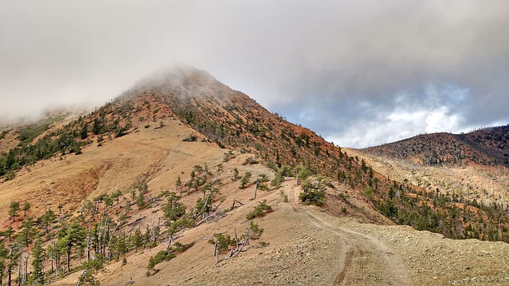
The second-largest wildfire in Oregon was the Biscuit Fire in the Rogue River–Siskiyou National Forest.
©Forest Service / public domain – Original
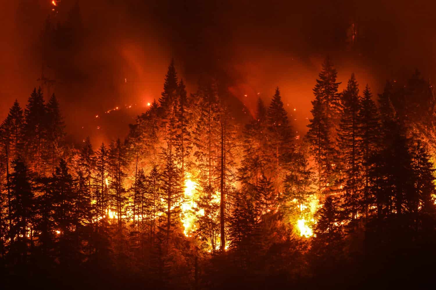
Oregon is generally known for its gray skies and heavy rainfall. However, not all parts of Oregon get heavy rain. In fact, southeastern Oregon is considered a high desert, with an average rainfall of only 15 inches per year. The regions of Oregon that get less rainfall, which are generally central, southern, and eastern Oregon, are the highest risk areas for wildfire.
Southern Oregon in particular has a high risk for massive wildfires. All of the largest wildfires in Oregon’s history have been in southern Oregon. The largest wildfire in Oregon’s history was the Long Draw Fire, which burned 557,028 acres in southeastern Oregon in 2012. Second, the Biscuit Fire of southwestern Oregon and northwestern California burned nearly 500,000 acres in 2002. Third, the Bootleg Fire burned 413,765 acres of southern Oregon in 2001.
Central Oregon has also seen increasing wildfire activity in recent years. The 2020 Oregon wildfire season saw massive wildfires just outside of Portland in the Willamette and Mt. Hood National Forests. While the western slopes of the Cascade Mountains in Oregon are typically moist do not see large fires, the 2020 fire season proved that there is still a risk of devastating wildfire in the area.
Lowest Risk Areas: Western Oregon, the Pacific Ocean Coast
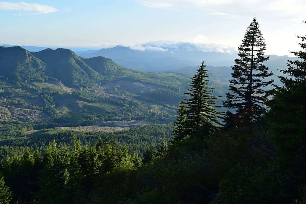
The Pacific Ocean coast of Oregon receive heavy rainfall, which protects them from the threat of wildfire.
©Cheryl Zion/Shutterstock.com
Western Oregon, along the Pacific Ocean coast, is the region of Oregon that is the least at risk of fire. This is due to the heavy rainfall that western Oregon is famous for. Some parts of western Oregon even qualify as temperate rainforests, such as the Tillamook State Forest, which gets nearly 200 inches of rain per year on average. Western Oregon has significantly more rainfall than eastern Oregon because of Oregon’s geography and weather patterns. Storm systems approach the Pacific Northwest from the Pacific Ocean. The Oregon Coast Range, a mountain range that runs north to south along western Oregon, catches most of the rain from those Pacific Ocean weather systems.
Wildfires in Oregon: Air Quality
Wildfires can pose a huge threat to life and property, but that threat remains confined to where the fire is burning. Wildfire smoke, on the other hand, can impact large areas beyond the fire’s perimeter and cause negative health effects. If you are impacted by wildfire smoke, it is important to check the air quality and take steps to protect yourself from potentially hazardous conditions.
Wildfires in Oregon: Additional Resources
The Oregon Department of Emergency Management provides information on how to prepare for wildfire. Learn how to stay informed and prepare for an evacuation. On the Oregon Alert website, you can sign up for text alerts about wildfire conditions and evacuation instructions.
Additionally, the Oregon Department of Emergency Management has a live map of wildfires in Oregon. This map details the size of each fire and the evacuation status ordered for the impacted area.


How to Add Us to Google News


Thank you for reading! Have some feedback for us? Contact the AZ Animals editorial team.