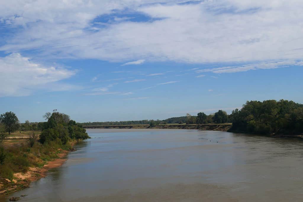
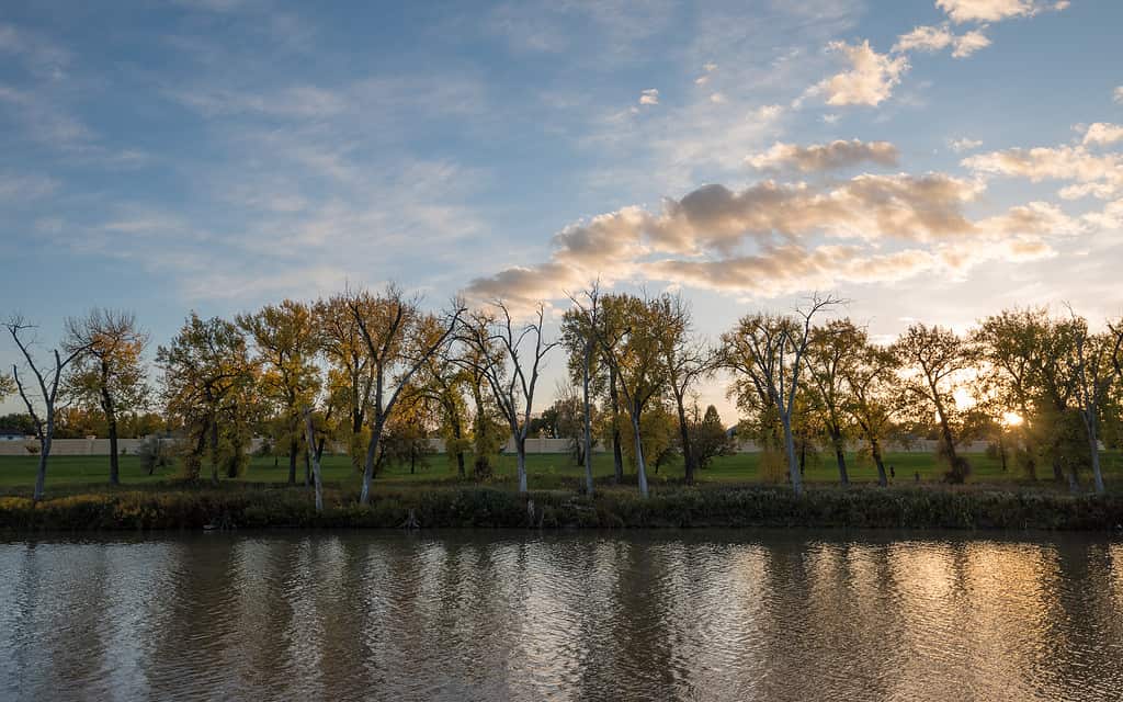
The Red River flows 1,360 miles, forming a boundary line between Texas and Oklahoma.
©RaksyBH/Shutterstock.com
Texas and Oklahoma have a natural boundary line established by the Red River of the South. This waterway begins in Randall County, Texas, by merging Palo Duro Creek and Tierra Blanca Creek. As the river flows toward the east, the southern bank creates the boundary line between the two states.
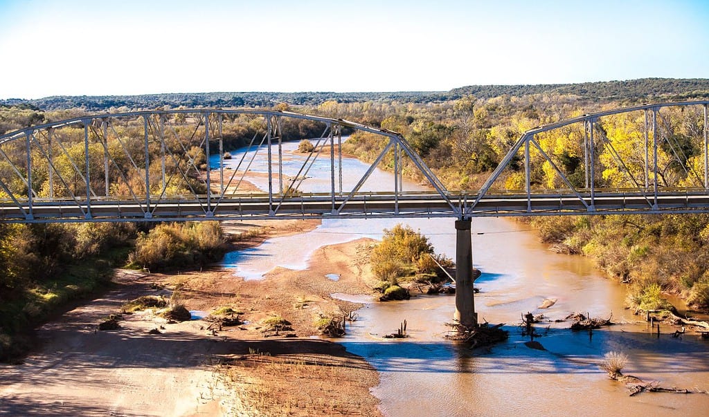
When the river flows into Arkansas, it starts flowing to the south and travels south until it empties into the Atchafalaya River. A watershed basin is created in Louisiana by the Red River and the tributaries flowing into it.
1) The Red River Of The South Has Several Names
Red River of the South is one of the names this waterway has had. The Spanish people named the river the “Rio Rojo”. In Spanish, “Rio” means river, and “Rojo” means red. Translated into English, the name Rio Rojo is Red River.
During the frontier times, the waterway was named the Red River of the Natchitoches. However, many people named the waterway the Red River of the Cadodacho. This river links the Mississippi River Valley and the Great Plains region of the United States.
2) Flows West To East At The Beginning
Most rivers flow from the north to the south. The Red River of the South starts in the Panhandle of Texas and flows from the west to the east until it reaches Arkansas. Tributaries of the river include:
- Pease River
- Witchita River
- Sulphur River
- Washita River
- Quachita River
3) The Water Is Redish-Colored
This river passes over red-colored soil, which causes the water to appear red.
©Bob Pool/Shutterstock.com
Another interesting fact about the Red River of the South is that the water is reddish because of the soil it crosses. As the river flows across the red dirt, it lifts some dirt and carries it down the stream. That red-colored dirt mixes in the water, giving the water a red, muddy appearance.
This river also has a high salt content. Salty water in the river occurred because of a natural phenomenon that happened 250 million years ago. Before the states, the river passed through states, and an inland sea covered the land masses. The seawater dried up. However, salt pockets were created. Those salt pockets are still present, making the water of the Red River of the South salty.
4) It Is The Second Longest River Associated With Texas
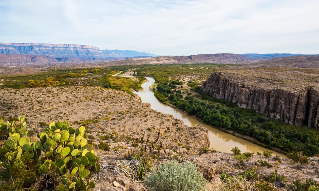
The Rio Grande is the longest river, forming a Texas border.
©Fred LaBounty/Shutterstock.com
In a state as big as Texas, it is not a surprise that there are long rivers. The two longest rivers both form natural boundaries along the state borders. Red River of the South is 1,360 miles long. However, the Rio Grande River stretches 1,896 miles. That makes the Rio Grande 576 miles longer than the Red River. 1250 miles of the Rio Grande River are on the border between Texas and Mexico.
Texas has three rivers that travel one thousand miles or more from their headwaters to empty. The third river is the Brazos. This river is 1280 miles long and divides the eastern and western portions of the Lone Star State.
5) It Is Not The Only River Named The Red River In The US
Rivers often have similar or identical names.
When you search for information about the Red River, be sure to search for the correct waterway. The Red River of the South is a tributary of the Mississippi River located in the country’s southern portion. However, the Red River of the North flows through North Dakota and Mississippi.
The southern river empties into the Atchafalaya River in Louisiana, while the Red River of the North empties into Lake Winnipeg in Canada.
6) The Red River War
A sad fact about the Red River of the South is it was part of the Red River War in 1874 – 1875. The United States Army launched an offensive attack against the southern Plains Indians that called the area home. Leading up to the war, the native Americans had settled on reservations with the promise of plentiful food and the ability to live the preferred lifestyle. The government failed to keep its promises to the tribes. This disappointment led to revenge raids, growing anger, and discontent.
The Indians raided settlers moving into the area as an act of revenge. Those settlers protested and pleaded with the government to stop the attacks. An offensive was launched, and 20 battles were fought during this campaign. The battle was led by Col. Ranald Slidell Mackenzie at Palo Duro Canyon, who was responsible for breaking up a large encampment of Native Americans. The encampment included tribes from the Comanche, Kiowa, and the Cheyenne Indians.
During the battle, horses, by the hundreds, were slaughtered. However, few Indians died. The war did not end until June 2, 1875, when a band of Indians led by Quanah Parker turned themselves into soldiers at Fort Sill.
7) Steamboats Traveled The Red River
The Red River of the South was the first river west of the Mississippi colonized. There were hopes that this waterway could be opened up to increase trading. A log jam (the Great River Raft) was removed for the steamboats to navigate the waterway. However, this project took from 1893 until the 1820s to complete.
By 1830, steamboats were traveling the river, and more people moved to e4ncampments and towns along the banks of the river. Steamboat activity on the river stopped because of the railway system.
8) Quicksand Is Common
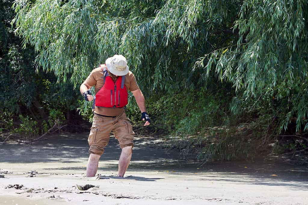
Riverbanks are one of the places where quicksand is common.
©watcher fox/Shutterstock.com
The Red River of the South has quicksand along its banks in several locations. This river is the meanest river because of the quicksand along the banks and the population of mosquitos. No towns are along the banks of this river because of the quicksand dangers.
Quicksand along the banks of the river looks solid, but it can bear very little weight. If a heavy vehicle, such as a wagon, crossed quicksand, the shifting sand would cause the wagon to sink. The scientific name for quicksand and similar substances is non-Newtonian fluids.
9) The Chisolm Trail Crossed The Red River Of The South

Millions of Texas cows traveled the Chisolm Trail between 1866 and 1884.
Cattlemen used the Chisolm trail to move their herds north across the ARed River of the South at Duncan, Oklahoma, and then north to Abilene, Kansas. An Indian trader named Jesse Chisolm blazed the trail, creating a path for the herds of cattle to follow.
The two worst obstacles that faced cowmen on the Chisolm trail were crossing through Indian territory and crossing the Red River. Driving the cattle north created steady income for men after the Civil War. This financial gain was responsible for the recovery of the southern states. Most of the cowhands were young me. However, one 63-year-old woman named Margaret Forland led a herd of cattle from Texas to Witchita along the Chisolm trail in 1872. Margaret was the only woman to lead a cattle drive.
Diverse Wildlife Call The Red River Of The South Home
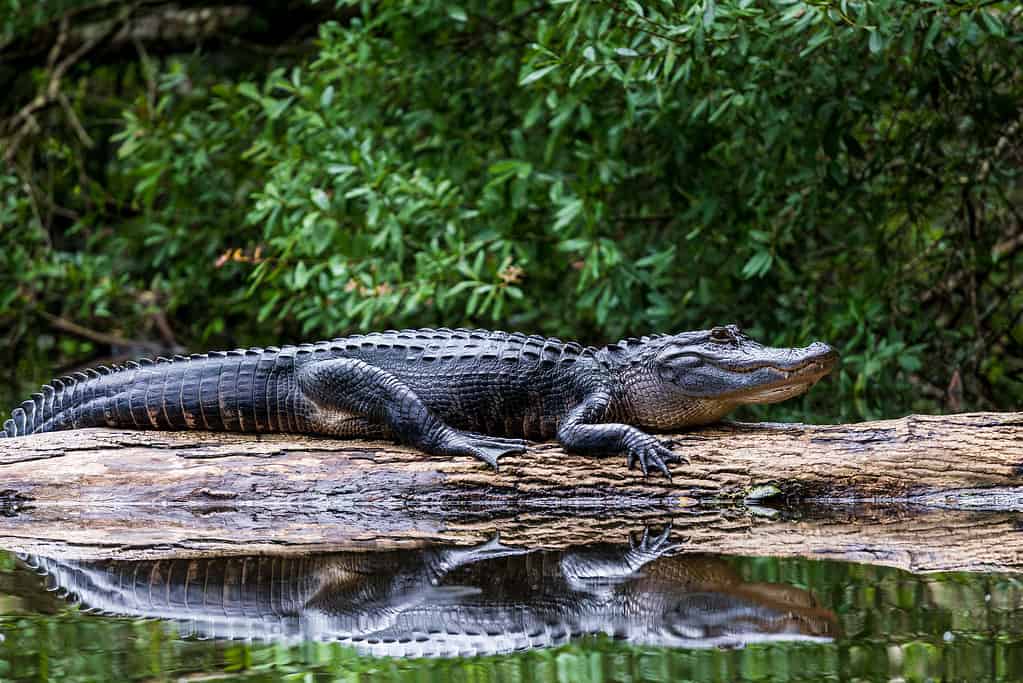
Alligators live in the Red River of the South.
©Joe Pearl Photography/iStock via Getty Images
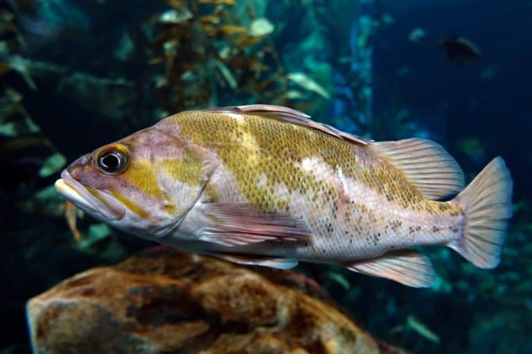
Many species of wildlife call the Red River of the South home. Fish like the channel cat and large and smallmouth bass are plentiful in these waters. The animals that call the water home were a primary food source for many people living near the river.
Animals of the Red River of the South Include:
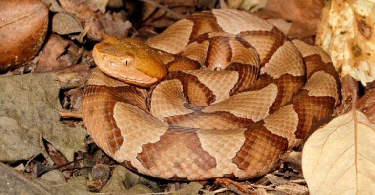
- Alligator
- Bass, including Largemouth, smallmouth, and striped
- Beaver
- Bluegill Perch
- Carp
- Channel Cat
- Crappie
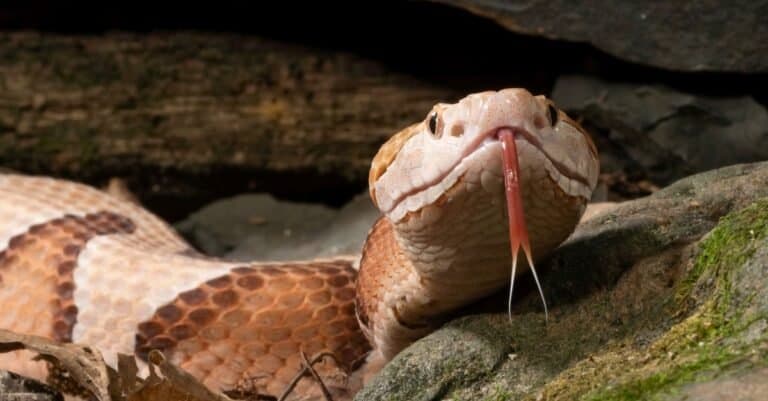
- Cottonmouth Water Moccasins
- Gar including longnose and alligator gar
- Hybrid Bass
- Paddlefish
- Trout, including Brook and Rainbow trout
- Turtles, including snapping turtles, red ear turtles, softshell turtles, and alligator snapping turtles.
- Water Moccasins
- Water Snakes
Summary Of 10 Facts About The Red River Of The South
| Fact | |
| 1 | The Red River Of The South Has Several Names |
| 2 | Flows West To East At the Beginning |
| 3 | Water Is Reddish-Colored |
| 4 | It Is The Second Longest River Associated With Texas |
| 5 | It Is Not The Only River Named The Red River In The US |
| 6 | The Red River War |
| 7 | Steamboats Traveled The Red River |
| 8 | Quicksand Is Common |
| 9 | The Chisolm Trail Crossed The Red River Of The South |
| 10 | Diverse Wildlife Call The Red River Of The South Home |