
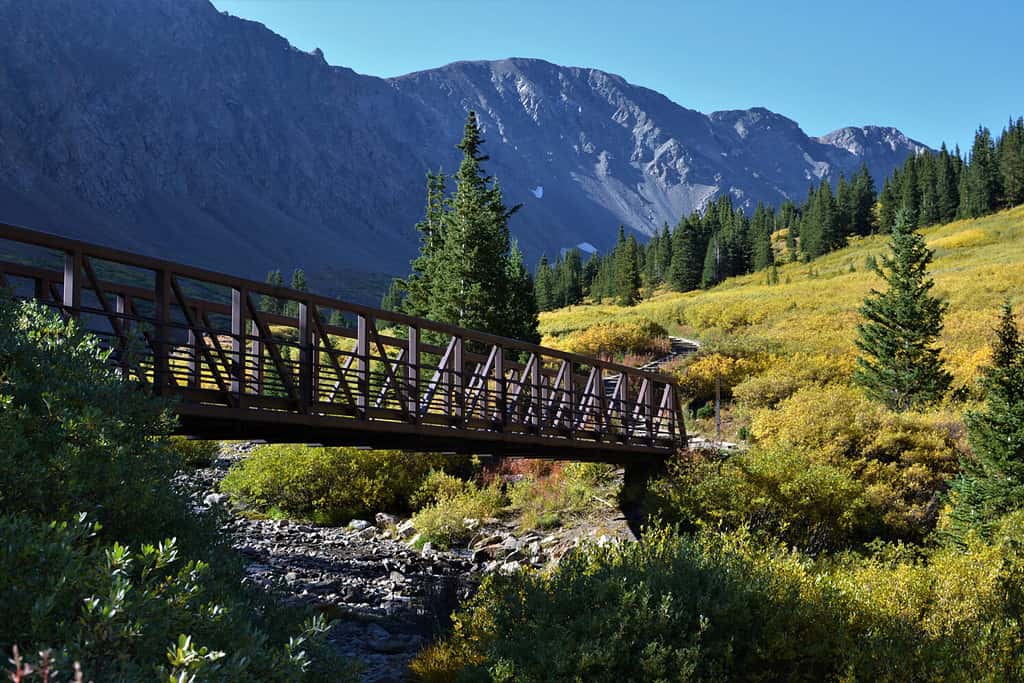
It takes five to six months to hike the entirety of the Continental Divide Trail. Hikers that take much longer fall prey to winter conditions and are forced to quit. The National Scenic Trail follows the portion of the Continental Divide located in the U.S., stretching for 3,100 miles between Mexico and Canada.
The trail winds through some of the most scenic and rugged beauty in the country, taking hikers across flat deserts, towering mountains, and grassy plains. While the trail makes its way through Colorado, it hits some of its highest peaks. Read on to discover the highest point on the Continental Divide Trail.
Grays Peak: The Highest Point on the Continental Divide Trail

Grays Peak Trail is a challenging, yet not too challenging, hike to the top of the summit. Its sister peak, Torreys, can be hiked on the same day.
©Images by Dr. Alan Lipkin/Shutterstock.com
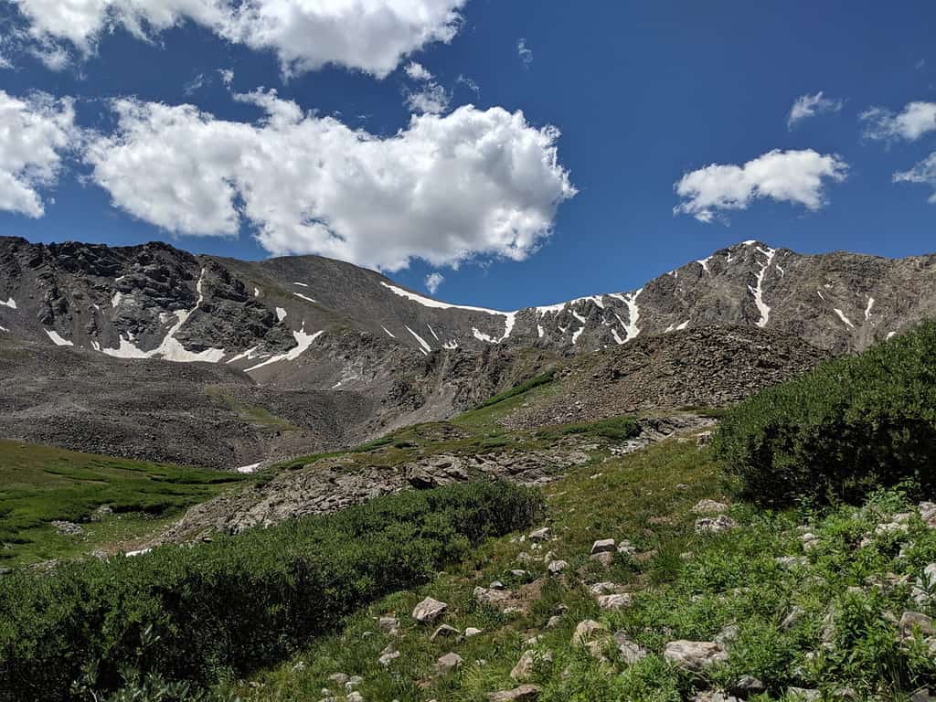
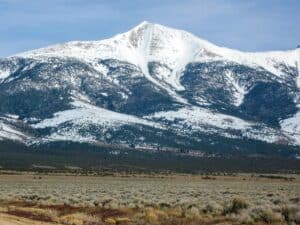
At 14,278 feet in elevation, Grays Peak is the highest point on the Continental Divide Trail. It’s also the tenth-highest summit of the Rocky Mountains and the highest point on the entire Continental Divide.
About an hour from Denver, Grays Peak Trail is a popular hiking destination, with the reward at the top being incredible views of the Rockies. The trail, running along the Continental Divide Trail, is a well-marked 3.5 miles that will take you up 3,040 feet to the summit.
What is the Continental Divide?
Simply put, the continental divide is a boundary separating the continent’s river systems.
©R Kulawiak/Shutterstock.com
The Continental Divide is a line that runs the entire length of North and South America, dividing the river systems. Rain or snow that falls on the peaks of the divide flows either to the east or to the west. In North America, all water that flows east will someday end up in the Atlantic Ocean. Water that flows west will eventually make its way into the Pacific Ocean.
The line begins at the Strait of Magellan at the southernmost tip of Chile and extends north through South and North America, ending in Cape Prince of Wales in Alaska. Thus, the line connects the peaks of the Andes Mountains in the south with those of the Rockies in the north.
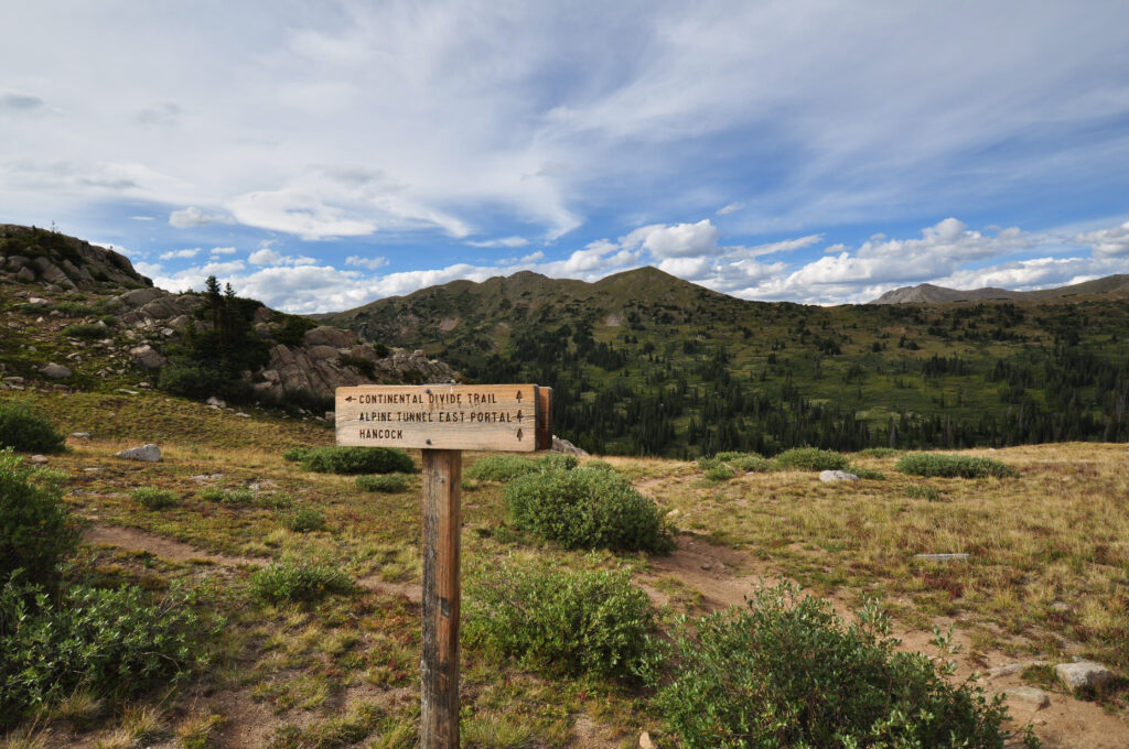
About the Continental Divide Trail
This trail leads to the twin peaks, Grays and Torreys.
©Whittle/Shutterstock.com
The U.S. Congress designated the Continental Divide Trail as a National Scenic Trail to provide the public with access to the breathtaking outdoor beauty, and cultural diversity along the trail
The trail follows the Continental Divide as it stretches along the U.S. The southern part of the trail starts in arid New Mexico, ascends the peaks of Colorado, moves into Wyoming plains, and finally follows along Idaho and Montana’s majestic green mountains before reaching Glacier National Park’s craggy mountains, with the Canadian border in view. The trail makes its way through 25 National Forests, 21 Wilderness Areas, and 3 National Parks.
It is possible to hike the entire trail from New Mexico to Canada. However, it takes about half a year, and if you get delayed, winter conditions make it much too harsh to continue. Many people will hike stretches of the trail, but people who travel its entirety on foot are called “thru-hikers.”
Can You Drive to Grays Peak?
A snow-covered view of Grays and Torreys Peaks in the Colorado Rocky Mountains.
©BKingFoto/Shutterstock.com
Grays Peak is not accessible by car. The summit can only be reached on a hike up the Grays Peak Trail. The peak is known by mountain climbers as a “fourteener,” a mountain peak exceeding 14,000 feet. At 7.3 miles out and back, the trail to the summit is one of Colorado’s easier fourteeners to ascend. The trailhead begins at Stevens Gulch Road, which is no longer maintained. With deep ruts and rocks in the road, it can be difficult to travel, unless you are in a 4×4 vehicle.
Torrey Peak: Grays Peak’s Twin
Many people enjoy hiking Grays and Torreys Peaks on the same day.
©P. Dorman/Shutterstock.com
Nearby Torrey Peak, at an elevation of 13,427 feet, is also considered a fourteener. Less than a mile apart, many hikers enjoy climbing both peaks in one day. Hikers to reach both summits need to begin at Grays Peak Trail and then continue to Torrey’s, eventually ending up back at Stevens Gulch Road.
What Wildlife Lives Around Grays Peak?
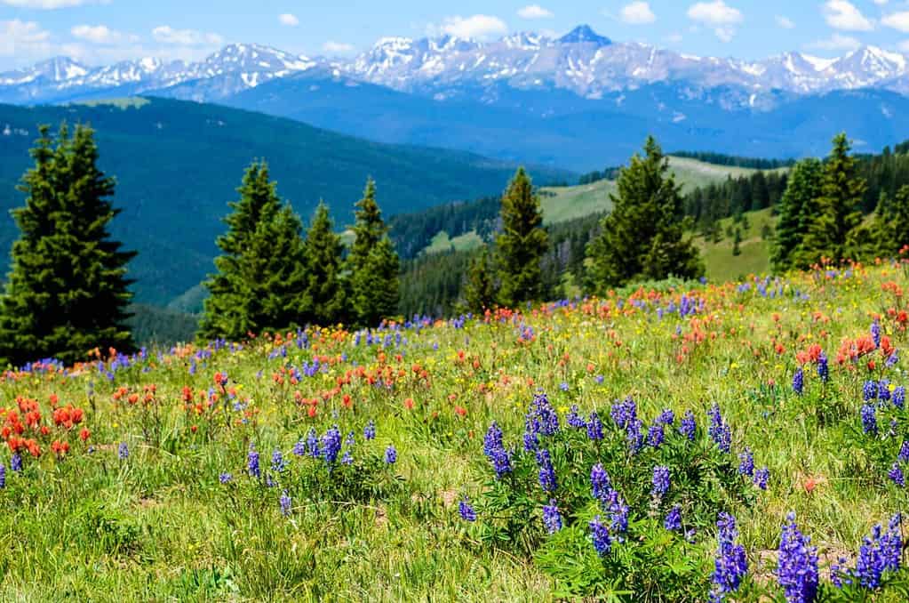
Colorful wildflowers grow abundantly along the Rocky Mountains.
©Danica Chang/Shutterstock.com
The mountains are plentiful with diverse fauna and flora. Wildflowers grow up the mountains with plants like wolfsbane and blue columbine at lower elevations. As you get to the top, you may spot alpine forget-me-nots and moss campion.
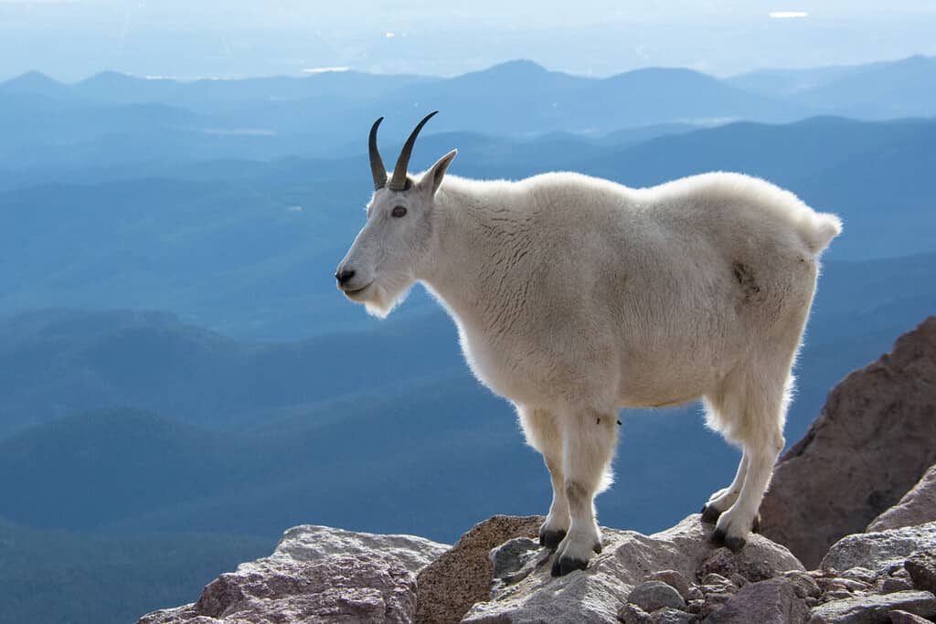
Mountain goats are adept at climbing mountain ledges.
©Eivor Kuchta/Shutterstock.com
As for animals near Grays Peak, a favorite sight for hikers are herds of mountain goats scampering around on the rocky cliffs. Hikers can spot them easily climbing the craggy cliffs people couldn’t dream of ascending. Mountain goats have cloven hooves with two toes for balance and rough pads on the bottoms of their feet to grip rocky surfaces, like a climbing shoe.
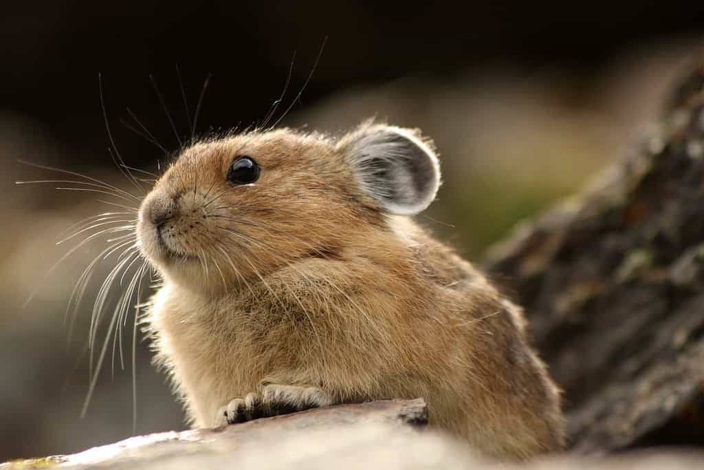
Pika are small, mountain-dwelling rodents living in the Rocky Mountains.
©Adrian Baras/Shutterstock.com
Towards the trailhead, you’re likely to see mule deer and elk. Higher up, aside from the goats, hikers can watch small pikas and marmots scurrying around the trail. Below the treeline, American red squirrels are abundant, and a bird you may commonly see is the Canada Jay. The larger predators around the area include mountain lions and black bears.
The photo featured at the top of this post is © BKingFoto/Shutterstock.com

How to Add Us to Google News


Thank you for reading! Have some feedback for us? Contact the AZ Animals editorial team.