
Indiana is a Midwestern state famous for its sports culture, agriculture, and much more. According to the 2020 U.S. Census, the state has roughly 6,785,668 residents. Indiana ranks 17th in terms of overall population, and it is 38th by size. Indiana’s extensive highway system and centrally located capital city make this state rather important for travelers. Today, we’re going to look at the states that border Indiana and show you where their borders are and how many people live in them. We will also show you what features separate each state!
1. Illinois
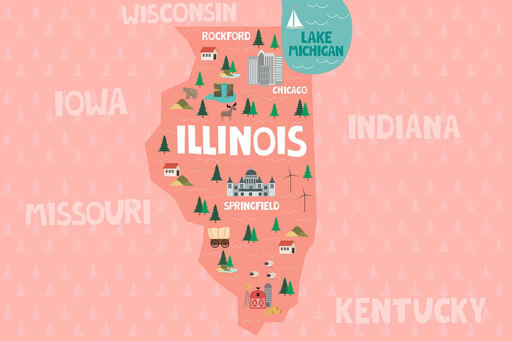
The state of Illinois borders the western side of Indiana.
©Mio Buono/Shutterstock.com
Illinois forms the entire border of western Indiana along with a very small portion of its northern border near Chicago. The border between these two states is interesting because it is almost completely straight for the first 160 miles or so. The western edge of Indiana lies southeast of Chicago and runs south to Prairieton Township. From there, the Wabash River defines the western border for the next 100 or so miles.
Another smaller border exists between the states. Technically, a part of Illinois’ border extends to the north of Indiana. The state’s border extends into Lake Michigan to the east of Chicago. So, Illinois is a part of Indiana’s northern border for about 15 miles.
Illinois is a state of multitudes, containing large farmlands, the sprawling city of Chicago, and much more. Currently, the population of Illinois is much greater than that of Indiana, about 12.67 million people.
2. Kentucky
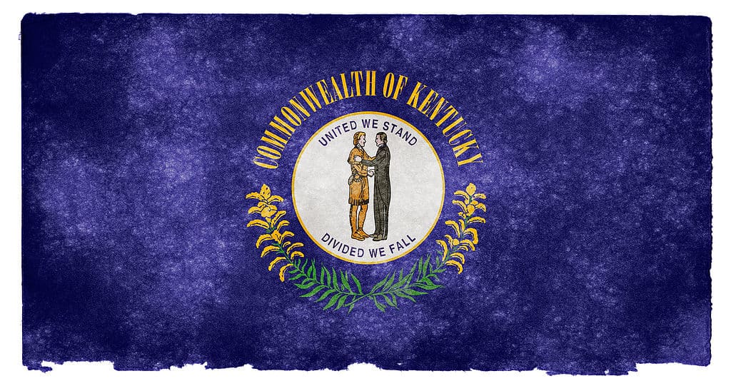
The flag of Kentucky includes sprigs of goldenrod which is the state flower.
©Free Grunge Textures – www.freestock.ca – Original / License
Kentucky is another one of the states that borders Indiana. The Bluegrass State borders Indiana to the south and technically a bit to the east as well. The Ohio River forms the border between the two states near Boone County, Kentucky, and Lawrenceburg Township Indiana. Interstate 275 runs across the river near the beginning of the two states’ shared border. The border between the two states runs for about 250 miles, but it is a long, winding path.
Kentucky is a southern state that is famous for its horses and horse racing, bourbon, music, and abundance of great outdoor areas. The population in Kentucky is less than that of Indiana. As of the last census, the state was home to about 4.5 million people, about 2 million fewer people than Indiana. Louisville is the largest city in Kentucky, and it is home to about 630,000 people.
3. Michigan

The state of Michigan shares a short border with Indiana measuring only 120 miles.
©Sean Pavone/iStock via Getty Images
Michigan lies to the north of Indiana. These two states share the shortest border of all the states that border Indiana. Only 120 miles connect these states. The border between Michigan and Indiana begins near Clear Lake, Indiana, and Montgomery, Michigan.
From there, the border travels in a straight line to the west. However, the state’s shared land border ends at Lake Michigan. At that point, Indiana and Michigan share an additional 20 miles of border along Lake Michigan. Indiana also shares a border with Illinois in this Great Lake.
Michigan is renowned for its connection to the Great Lakes, being the home of the Motor City, and for its unique shape. The state’s population is about 10 million, roughly 3 million greater than Indiana.
4. Ohio
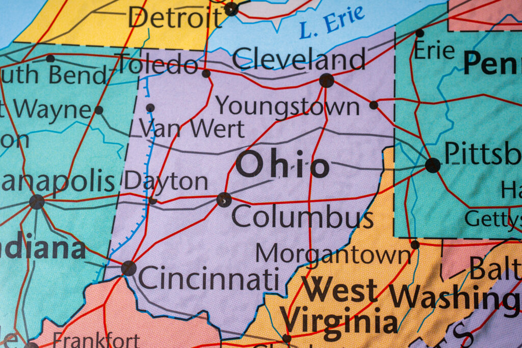
The Buckeye State is located in the Midwest region, bordering Indiana and Kentucky.
©Alexander Lukatskiy/Shutterstock.com
Ohio is the final state that borders Indiana. The border lies to the east of Indiana, and it runs from north to south. The border starts near York, Indiana, and Billingstown, Ohio. From there, the border travels directly south for about 180 miles. The border comes to an end in the Ohio River, and Kentucky takes up being the border from that point forward. The border between Ohio and Indiana is the second shortest of all of them.
Ohio is known for being home to 7 presidents, its waterways, and buckeye trees. Ohio has a population of about 11.7 million people, and its largest city is Columbus, a city of 900,000. Columbus is similar in population to Indianapolis, a city of 882,000 people as of the most recent Census Bureau estimates.
Illinois, Kentucky, Michigan, and Ohio are the four states that currently border Indiana. These states all share different lengths of border with the state, and those borders are defined in different ways. In some cases, natural boundaries like the Ohio River are responsible for dividing Indiana from other states. Yet, in other cases, the borders were simply drawn on a map. In any case, just four different states border Indiana, and these borders are not likely to change anytime in the future.
Summary of the States That Border Indiana
| Rank | State | Border Direction |
|---|---|---|
| 1. | Illinois | West, North |
| 2. | Kentucky | South, East |
| 3. | Michigan | North |
| 4. | Ohio | East |
The photo featured at the top of this post is © Oleksii Liskonih/ via Getty Images


How to Add Us to Google News


Thank you for reading! Have some feedback for us? Contact the AZ Animals editorial team.