
Rhode Island is the smallest state in the United States, which led to a colloquial nickname for the state: Little Rhody. Just how big (or small) is Little Rhody? Let’s break it down.
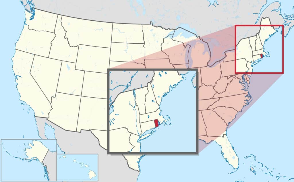
The state’s small size means you’ll probably have to zoom in on a map just to find it!
The Size of Rhode Island
Length and Width
Rhode Island is only 37 miles wide and 48 miles long. For some perspective, Springfield, Massachusetts is about 80 miles from Boston, or more than double the width of Rhode Island.
Square Miles and Square Kilometers
“Little Rhody” occupies 1,214 square miles of total surface area. That is about 3,144 square kilometers.
Acres
The state’s land area is about 776,960 acres. Yellowstone National Park is close to three times the size of Rhode Island.
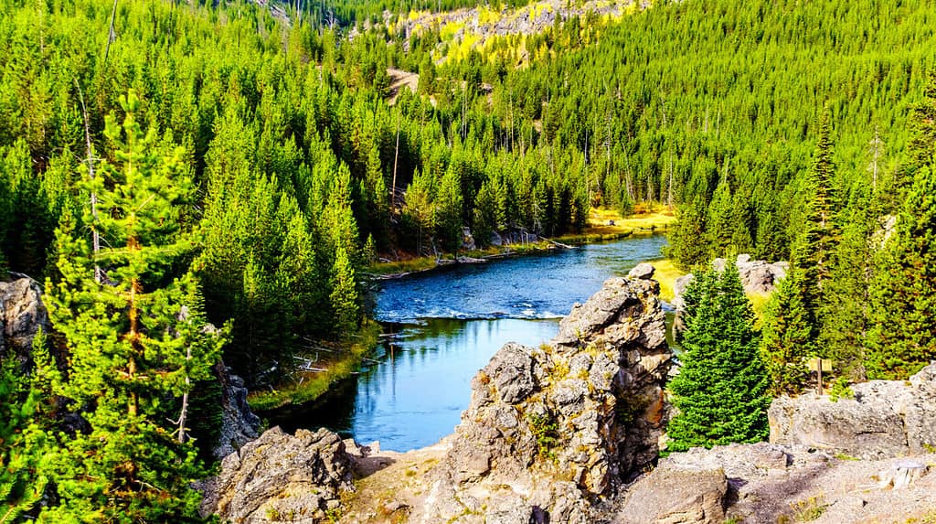
You could fit nearly three Rhode Islands into Yellowstone National Park.
©Harry Beugelink/Shutterstock.com
Rhode Island Compared to the Largest States
Alaska, the largest state in the United States, is over 547 times bigger than Rhode Island.
Texas is about 251 times larger and California is around 149 times bigger than Rhode Island.
Rhode Island Compared to Other Small States
While not a state, Washington, D.C. is about 18 times smaller than Rhode Island.
Delaware is the second smallest state in the U.S. at 1,982 square miles. The sizes of other states climb rather steeply after that. Rhode Island and Delaware are the only two states under 4,800 square miles.
Los Angeles County in California is over 800 square miles larger than Rhode Island and Delaware combined.
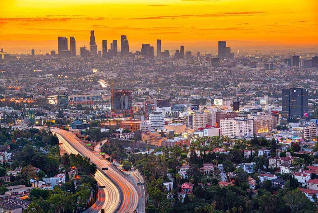
Los Angeles County is larger than the two smallest U.S. states combined.
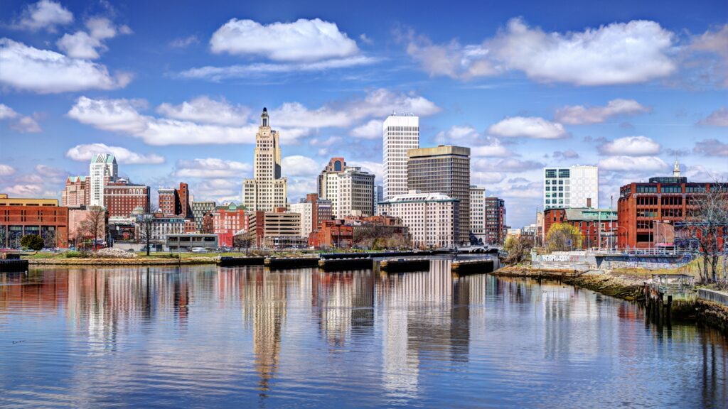
©iStock.com/Sean Pavone
Percentage of Total U.S. Land Area
Rhode Island’s land area makes up about 0.04 percent of the total land mass of the United States. By comparison, Alaska accounts for 17.48 percent of the U.S. land area. It is the only state that comprises a double-digit percentage of U.S. land.
The Size of Rhode Island’s Islands
Though the state’s name is Rhode Island, most of the state’s landmass is connected to the U.S. mainland. It does feature some islands, though. Aquidneck Island is the state’s most prominent island. The island is less than 38 square miles or around 98 square kilometers in size.
The state features one offshore island. Block Island is located 12 miles off the Rhode Island coast. It is named for the Dutch explorer, Adrian Block. The island is less than ten square miles in size, but it is the site of the first commercial offshore wind farm in the United States.
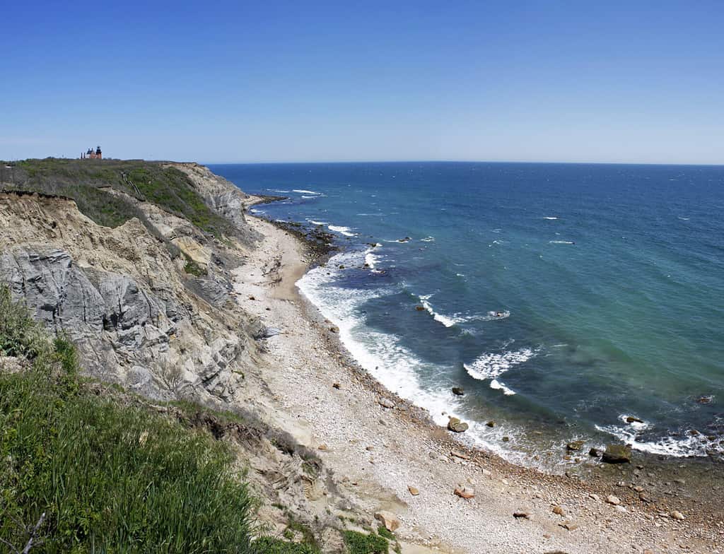
Block Island is a roughly ten-square-mile island.
©ARENA Creative/Shutterstock.com
Rhode Island Population
Rhode Island may be the smallest state in area, but it is not the smallest in terms of population. With nearly 1.1 million residents, Rhode Island has a larger population than six other states: Delaware (1.03 million), South Dakota (923,000), North Dakota (780,000), Alaska (733,000), Vermont (647,000), and Wyoming (583,000).
Rhode Island has almost twice the population of Wyoming, yet Wyoming is more than 80 times larger than Rhode Island in terms of land area.
Rhode Island is the second-most densely populated state in the U.S., behind New Jersey. Population density is calculated by the number of people per square mile.
Alaska is the least densely populated state in the nation, followed by Wyoming.
While it is the smallest state in terms of land area, Rhode Island has a population larger than six other states.
©Sean Pavone/Shutterstock.com
Other Facts About “Little Rhody”
- Rhode Island is small enough that only one area code is required. The 401 area code services the entire state.
- There is a 77-mile hiking trail across the state. The North-South Trail runs from the Massachusetts border in Burrillville in the north to Charlestown on the Atlantic Ocean in the south.
- Though the state is only 37 miles wide and 48 miles long, it features 400 miles of shoreline on Narragansett Bay in the Atlantic Ocean. This led to the state’s official nickname, The Ocean State.
- Along with a stunning coastline, Rhode Island features beautiful inland forests. Nearly 60 percent of its total land area is forested.
- Rhode Island may be the smallest state, but it had the longest name of any state until recently. For most of its history, the state’s official name was “Rhode Island and Providence Plantations.” Voters approved a constitutional amendment to drop the last three words in a 2020 election. The name of the state is now officially “Rhode Island.” Massachusetts is now the state with the longest name.
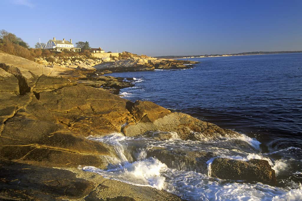
Rhode Island is small in size but not in beauty with over 400 miles of picturesque shoreline.
©Joseph Sohm/Shutterstock.com
The photo featured at the top of this post is © iStock.com/Vladimir Molnar


How to Add Us to Google News


Thank you for reading! Have some feedback for us? Contact the AZ Animals editorial team.